None observed
Observation: Turnagain
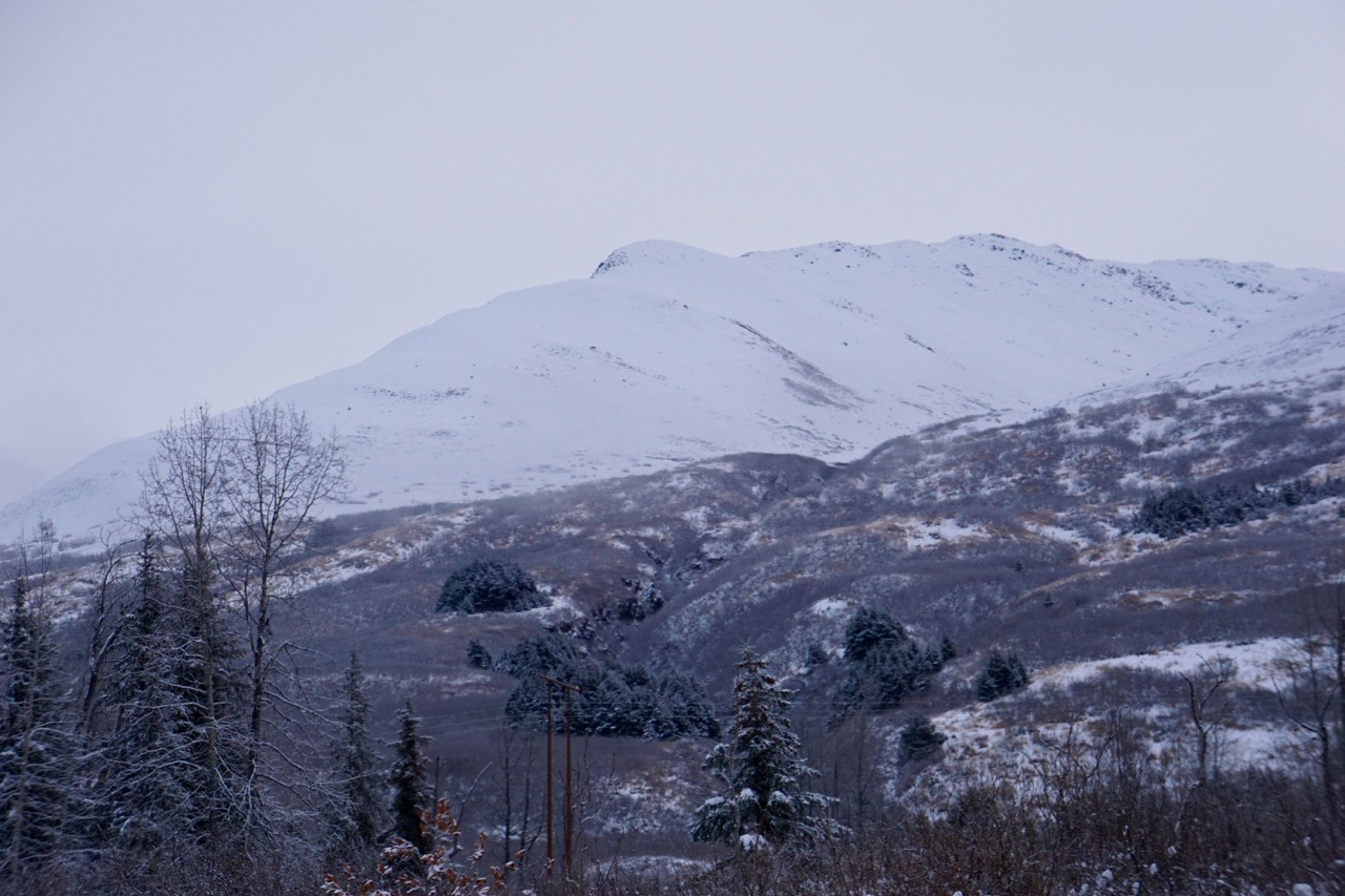
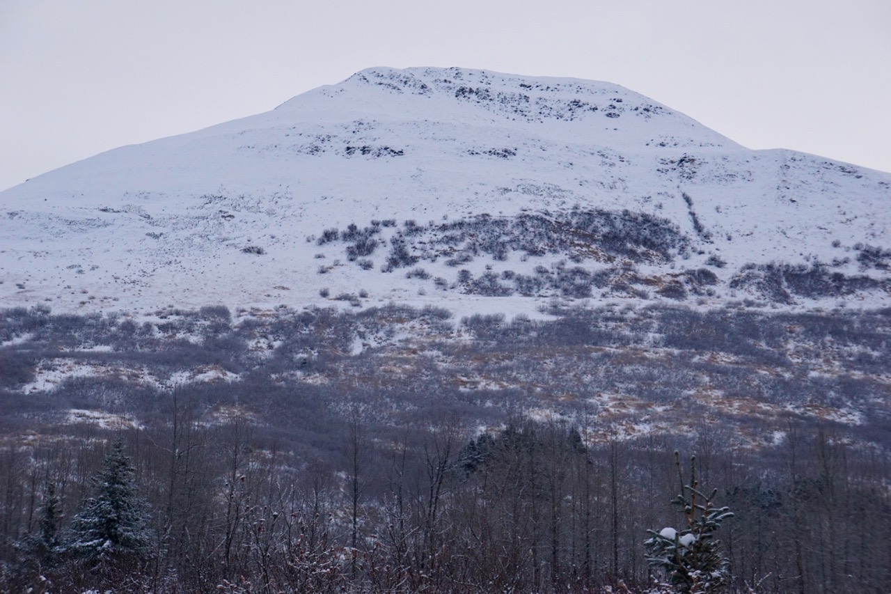
Location: Tincan
Standard up track to 2,800′
Observer Comments
Weather
Clouds in the am clearing by afternoon, pockets of valley fog
No precipitation
Calm
Temperatures (F) single digits to mid teens
Snow surface
2" of new snow, needles and columns
Snowpack
1000'-1600': 3" snow depth
1600'-2000': 1" melt/freeze crust on the ground gradually getting thicker with elevation covers by 1-2" of loose faceted snow with 2" of new snow in sheltered areas. Height of snow ranged from 4- 8" near 2000'.
2000'-2800': Melt/freeze crust found on ground everywhere and averaged 3-5" thick and appeared to be well bonded to the ground. Average snowpack depth is approximately 1 foot but ranges from 4 -18". 1-3" of loose faceted snow sits on top of the crust in some areas. The highly variable surface conditions from last week are now covered by 2" of new snow but it is easy to feel the m/f crust, sastrugi and isolated pockets of windslabs. New snow is slightly wind effected and drifted at treeline and above (see video).
Sunburst
Magnum West Face

Cornbiscuit
Seattle Ridge South

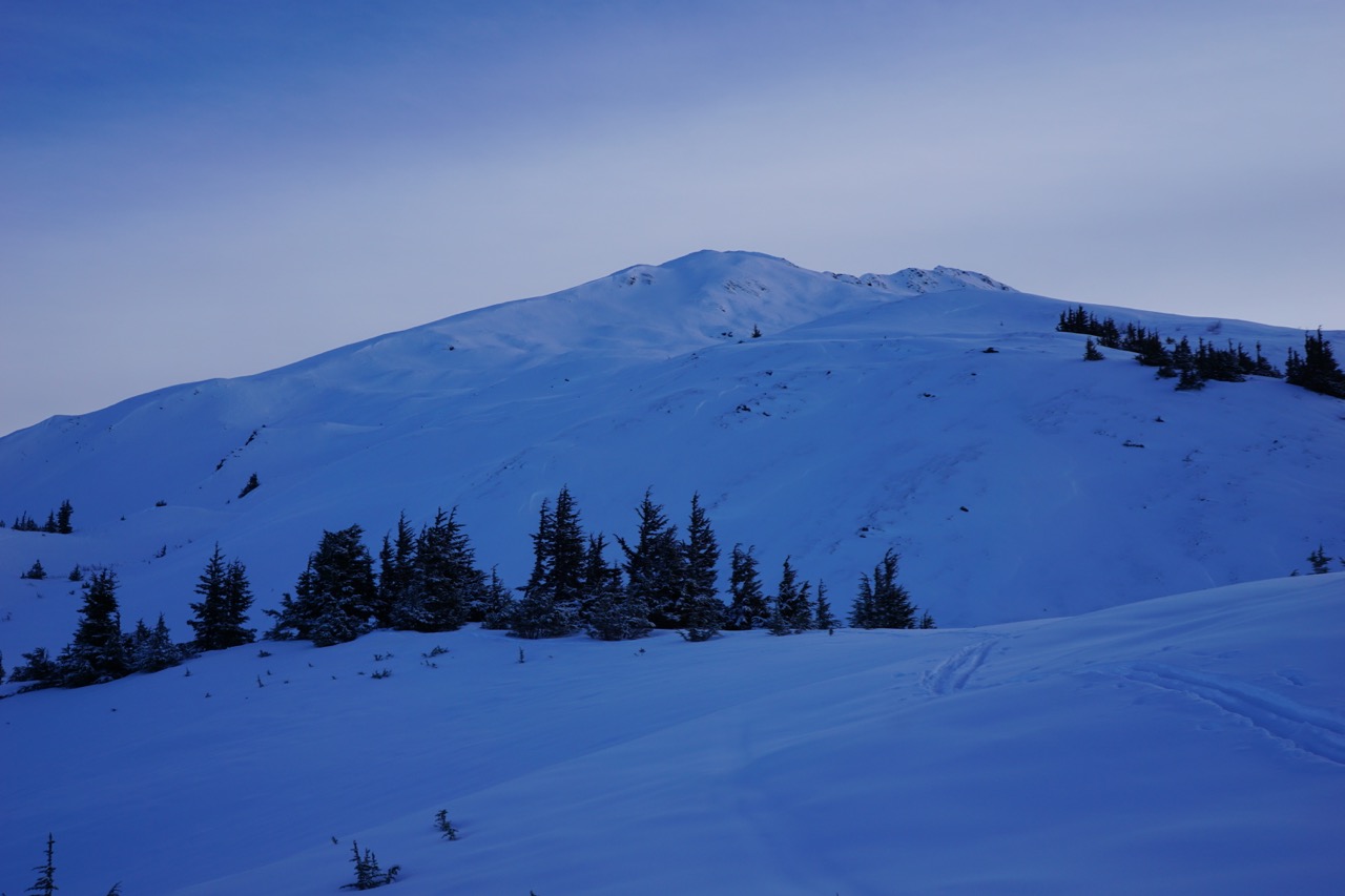
Seattle Ridge uptrack
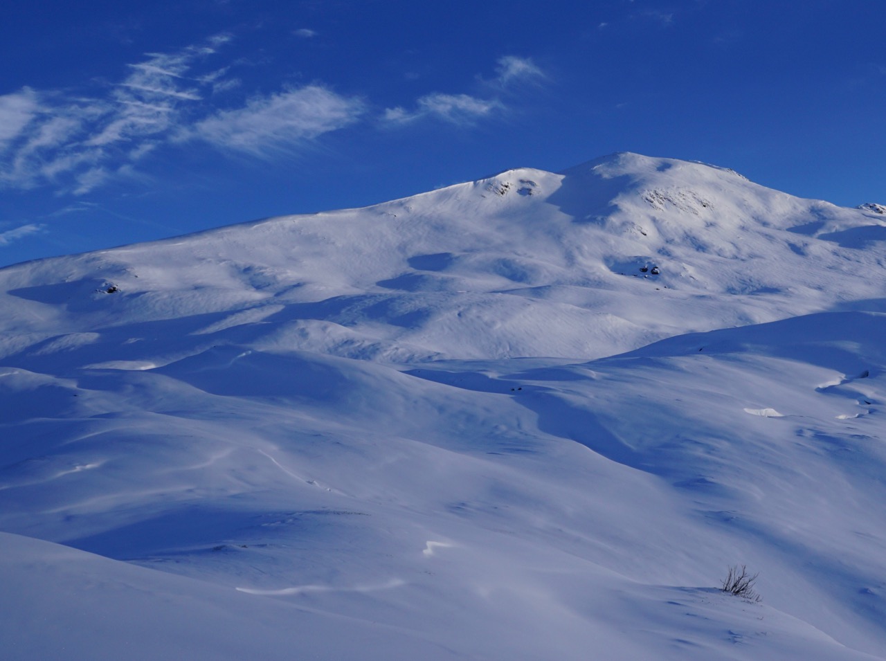
Tincan at treeline
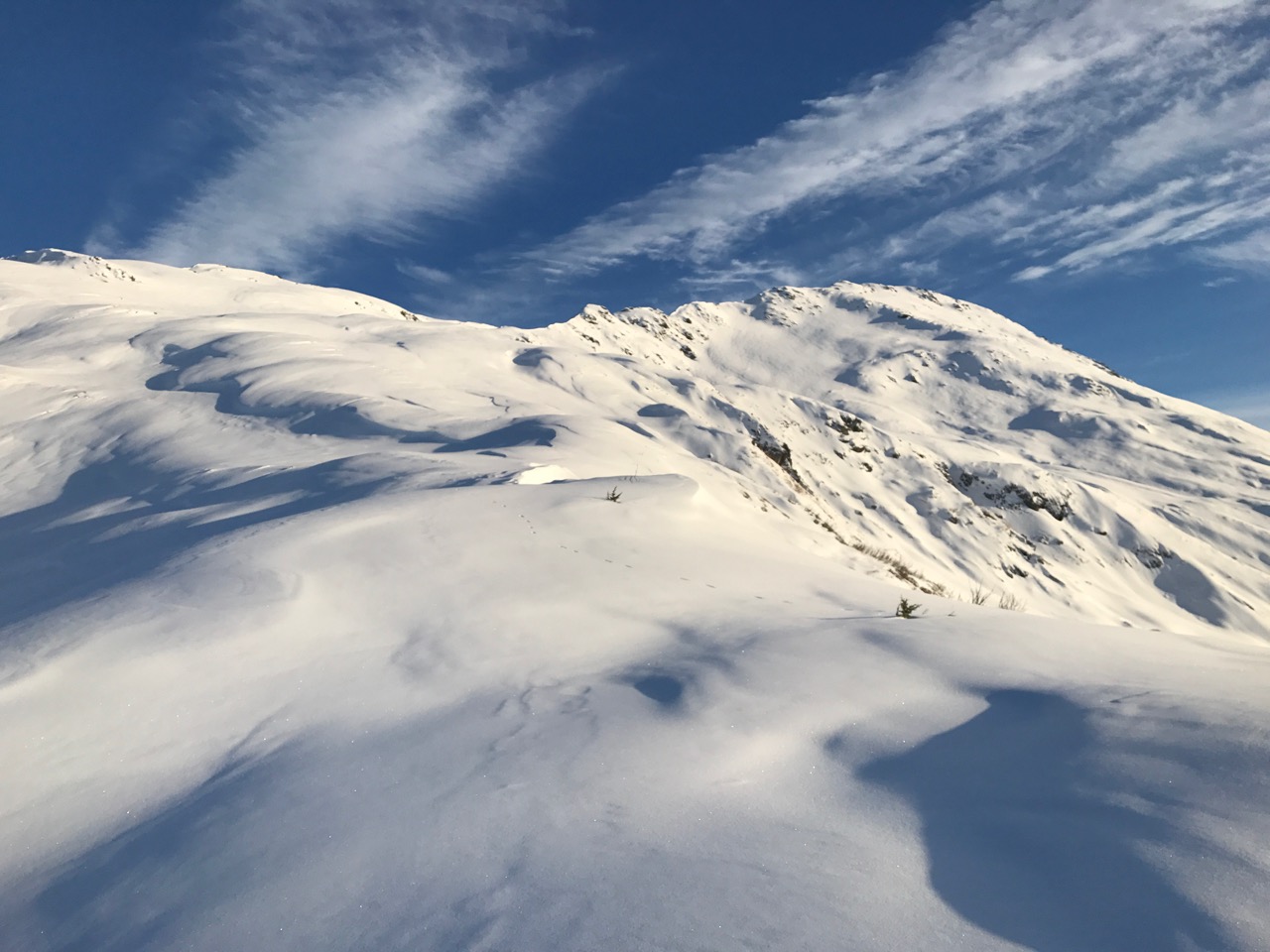
Tincan Common
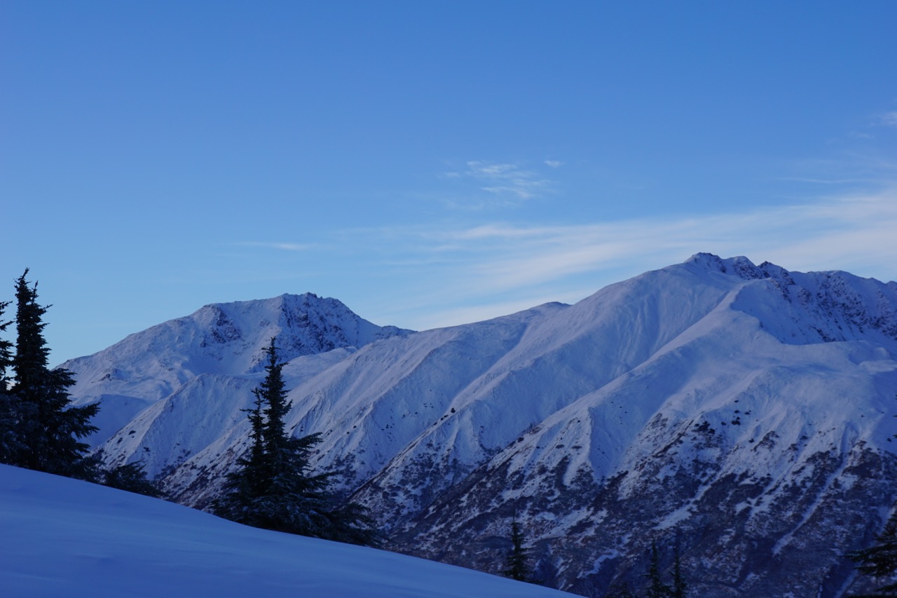
Looking towards Hippy Bowl

Getting down... thin snowpack
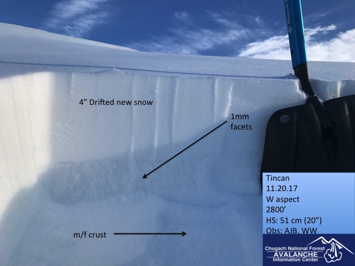
Tincan snowpack @ 2800'