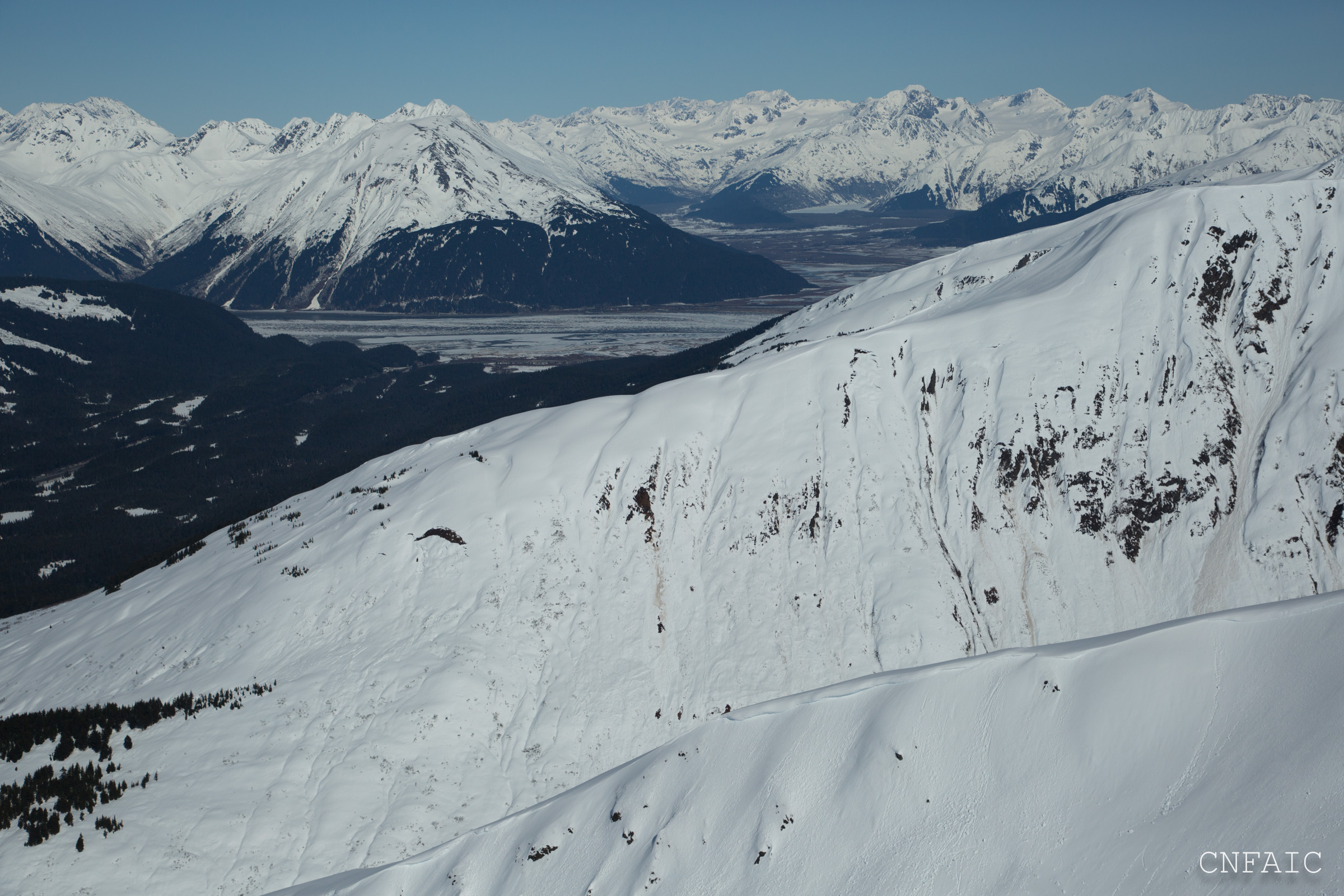
Lots of new wet loose point releases on the Southeast face of Seattle Ridge. These were obviously triggered around rocks and thin spots in dirt and covered older debris. The SE face of Seattle is pretty thin and lots of rocks and dirt can heat up easily and shed snow below and around these places. This was also the case on Southern aspect os Penguin Ridge in Girdwood. There was also a recent slab avalanche on a North aspect of the Seattle Headwall, trigger unknown at this time.
Observation: Turnagain
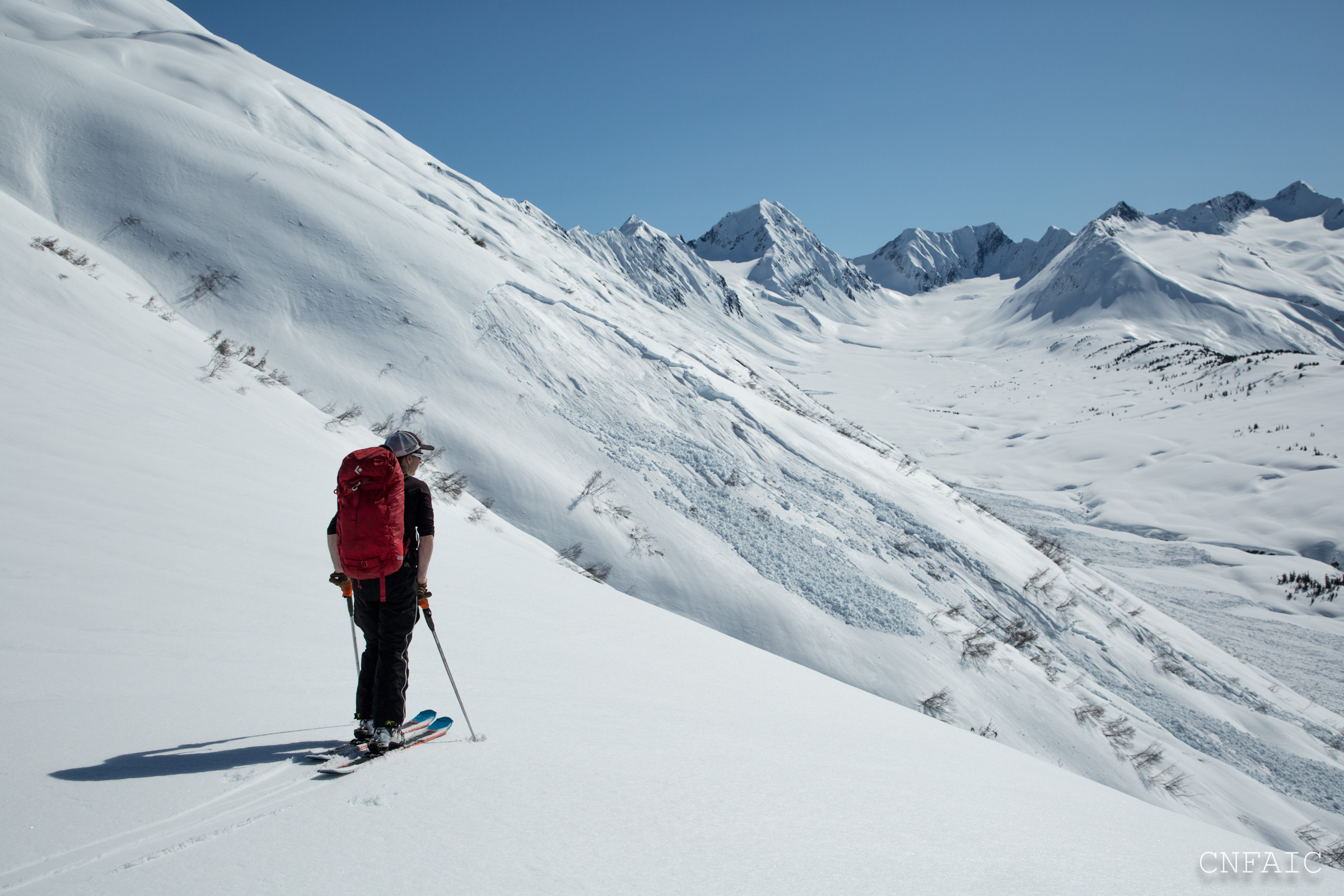
Location: Tincan
Ascended standard skin track to 3300′ on Tincan. Recent slab avalanche on the Headwall in Seattle, Northern aspect. Some new wet loose avalanche activity on SE aspect of Seattle Ridge.
Updated: Glide release occurred on Eddies some time between 7:41pm and 8:01pm, as captured on DOT web cam.


Observer Comments
Weather
Clear and sunny
Winds increased from calm to light (3-8mph) by late afternoon
High temps for the today:
Center ridge wx station - 53F
Seattle Ridge - 42F, Winds SW
Sunburst - 38F
Snow surface
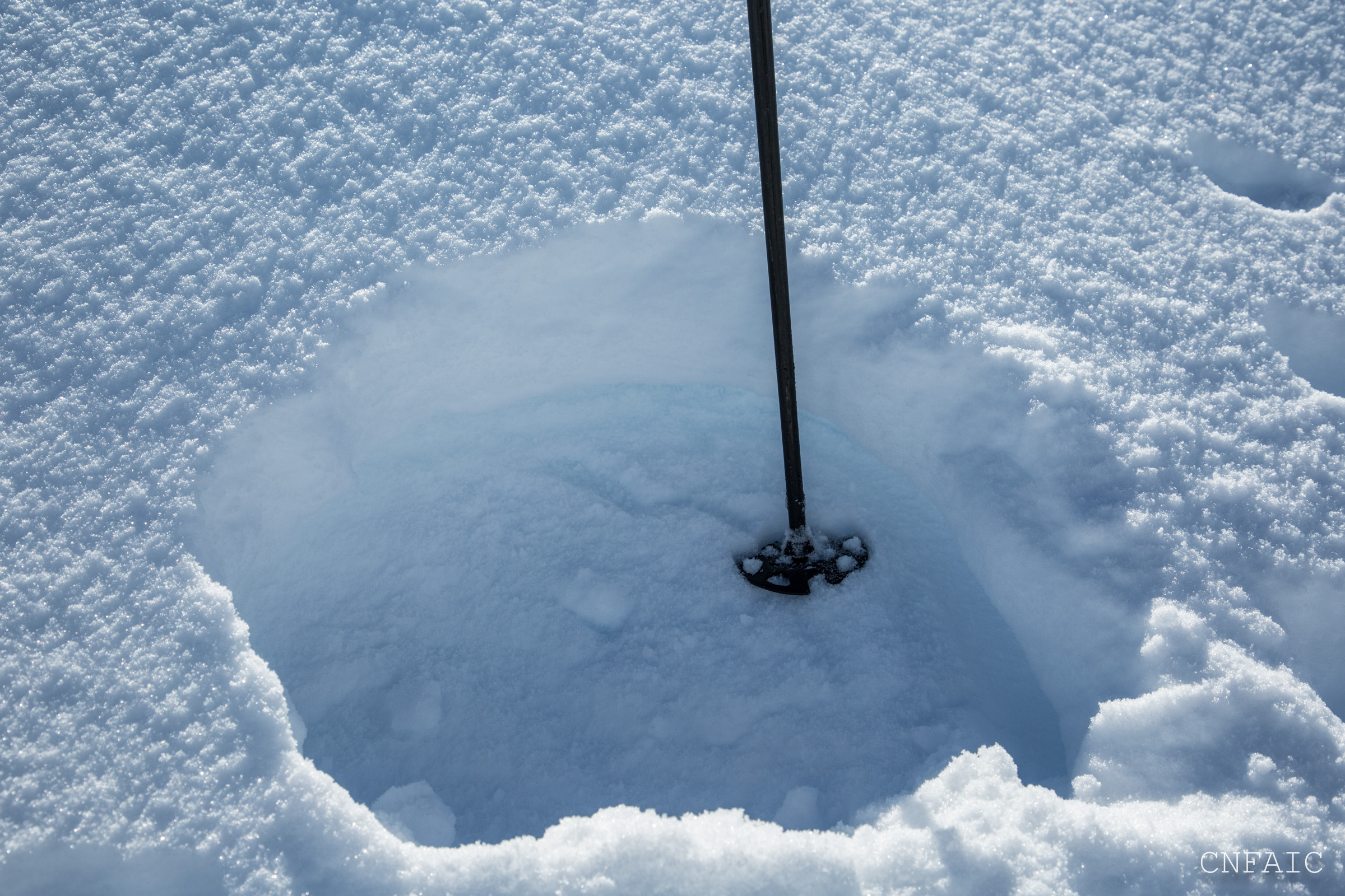
-Stout and supportable m/f crust below 2000' becoming wet and saturated on steep southerly aspects. Could punch ski pole deep into wet snow, especially below 1600' at 4:30pm. 1" corn snow on lower angle southerly and SW aspects.
-In the alpine there is a 4"supportable m/f crust solar aspects (SW-SE). By mid day it was softening on Southerly aspects.
-In the alpine on Northern and shaded low angle aspects there is a 1-3" of settled powder on the surface
Snowpack
Pit #1 - South aspect, 3200', HS=350cm. Old sun crust/new storm snow interface was 115cm (45") below the surface. Did a deep tap test, which failed with hard force (DT25.) No persistent weak layers were found in the top 130cm of snow. The sun crust was jagged and wasn't a planer surface. No other tests were performed.
Pit #2 - North aspect, 3100', HS =150cm. Several week layer were found within the top 105cm including buried surface hoar 70cm (28") below the surface, a thin layer of facets 85cm (34") below the surface, and 5cm layer of facets 105cm (41") below the surface. Compression test and Extended Column tests failed on both of the facet layers at the same time. (CT24, ECTP27.) The buried surface hoar failed on 24 taps in a compression test, but the facet layers weren't properly isolated. The buried surface hoar was 6mm and still standing up, but it was frozen/rimed and resistant to failure in this pit.

Recent slab avalanche on Seattle Headwall - trigger unknown
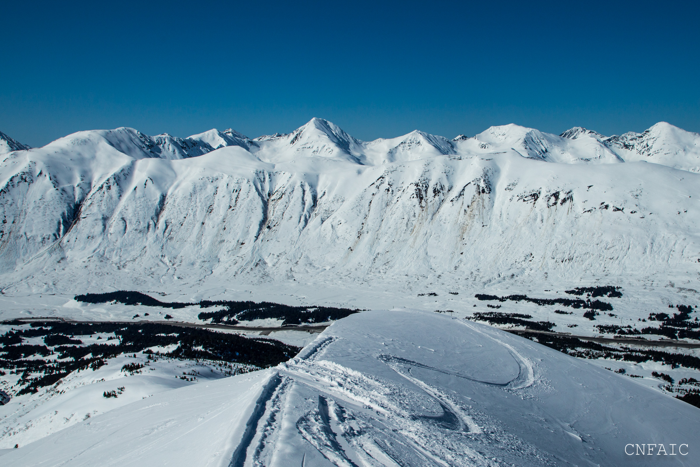
Lots of small wet loose avalanches trigged by warming rocks/dirt that have run over old debris

North facing aspect of Tincan at 3100'
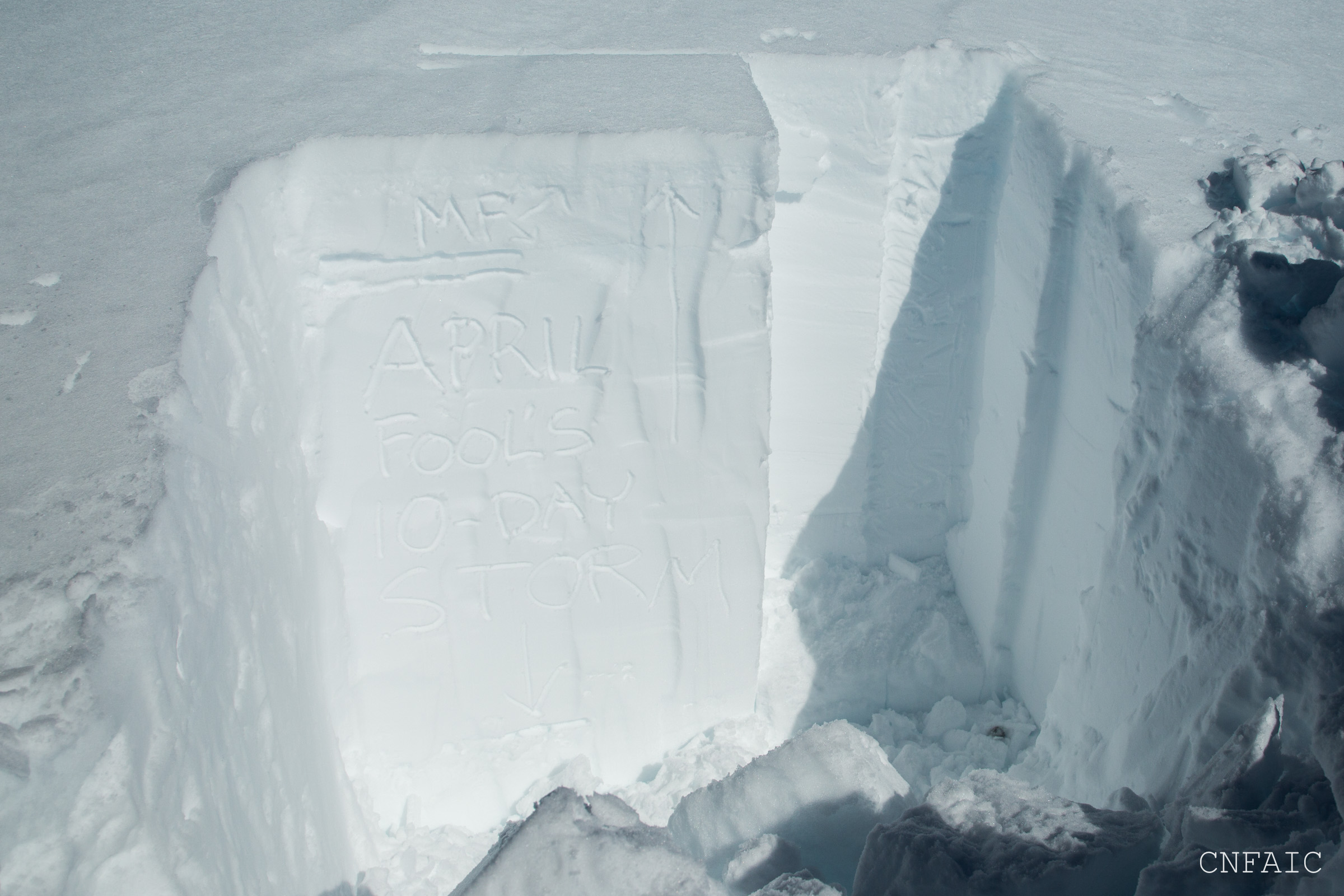
Pit on South aspect of Tincan at 3200'
Surface crust is about 4" thick at 2200'
Old storm wet slabs on Tincan with some in the background on Center ridge ~2100'.
Glides on Eddies have been moving and opening a lot over the last few days.

Cornice along Pete's South has been heating in the sun and triggering roller balls and wet loose activity
South end of Seattle Ridge SE face - lots more warming dirt/rocks that have triggered wet loose activity
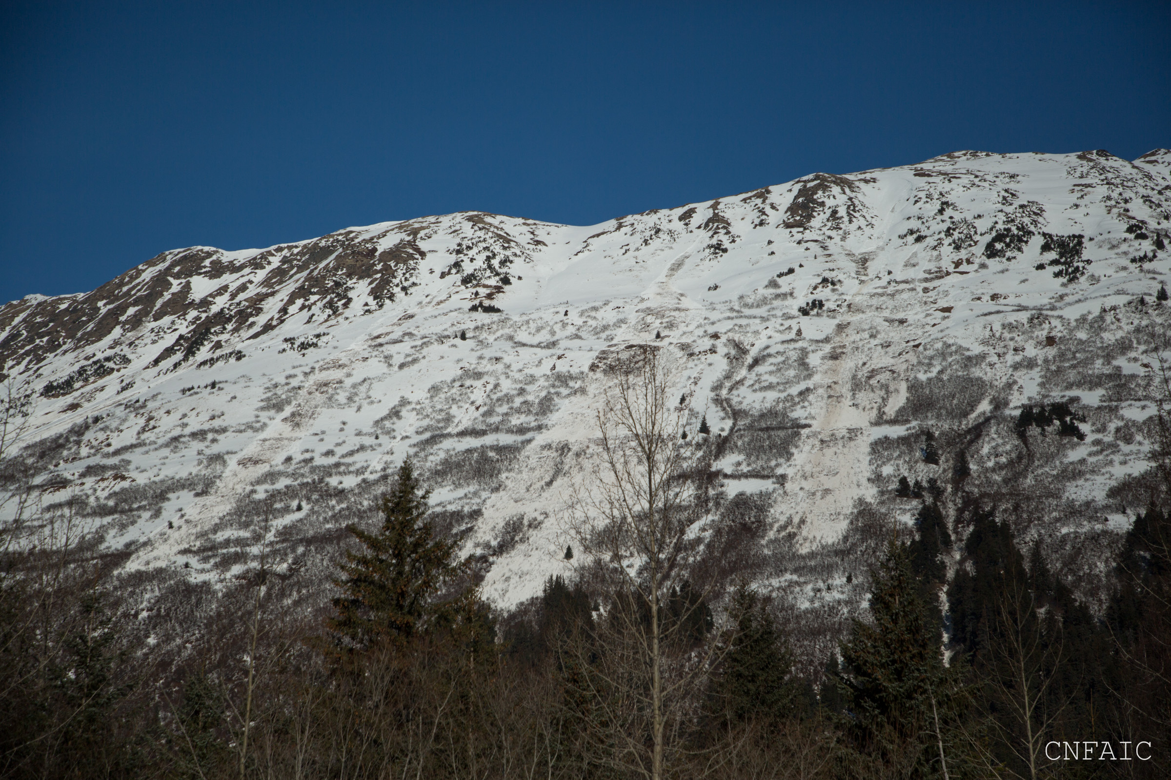
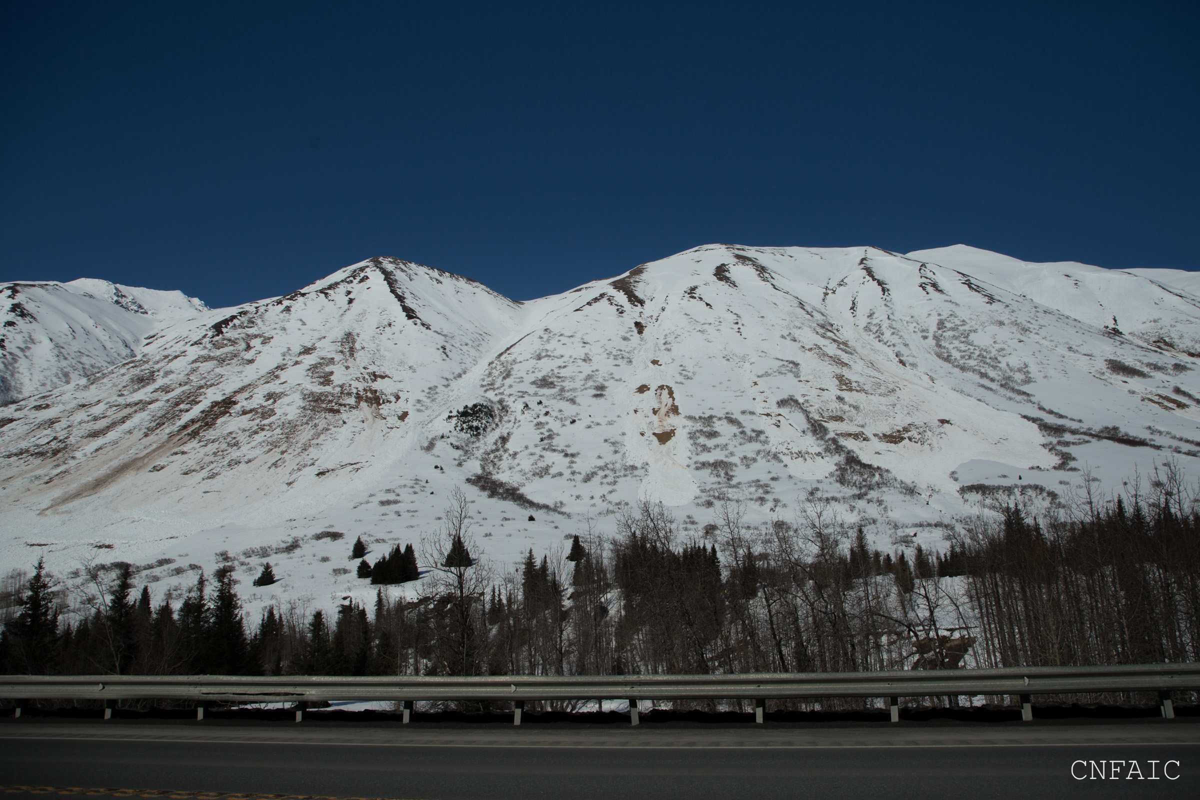
New wet loose avalanches on Penguin that happened last night
Eddies glide release captured on DOT Turnagain Pass web cam