Cracking and small wind slabs on test slopes.
Observation: Turnagain
Location: Tincan
Quick afternoon tour up Tincan to check on new snow amounts and how the new snow is bonding with the old surfaces.
Observer Comments
Weather
Overcast with gusty winds on the ridgetops. Plumes were seen from the strong East winds. No new snow during the day. Temps 35F at parking lot and mid 20's F on ridge.
Snow surface
3" wet snow below 1,500' with a crust on top.
6" new low density snow above 2,000' - wind affected on the Tincan Ridge.
Snowpack
Only concerns seen in the pack were in the top foot. These are essentially recent wind slabs (from the past two days of East winds). The slabs are 4-12" thick and sitting on a weak old snow surface. The weak layer was a combination of broken precipitation particles and buried surface hoar - these two grains types were intermixed. See photos below.
Bottom line: Wind slabs found today in areas with recent wind deposited snow were showing signs of being 'stubborn'. This means I had to work to get anything to release on test slopes. Yet, I'd be suspect of steep wind loaded terrain with higher consequences if a slab does release.

Difficult to see but there are two wind slabs in this picture. The top 3" slab was very fresh (hours) while the lower 6" slab was stiffer and much harder to initiate but once initiated sheared quickly.

Pit in Hippy Bowl. This area was just out of the wind so you can not see the wind slab here.

Plumes of Sunburst
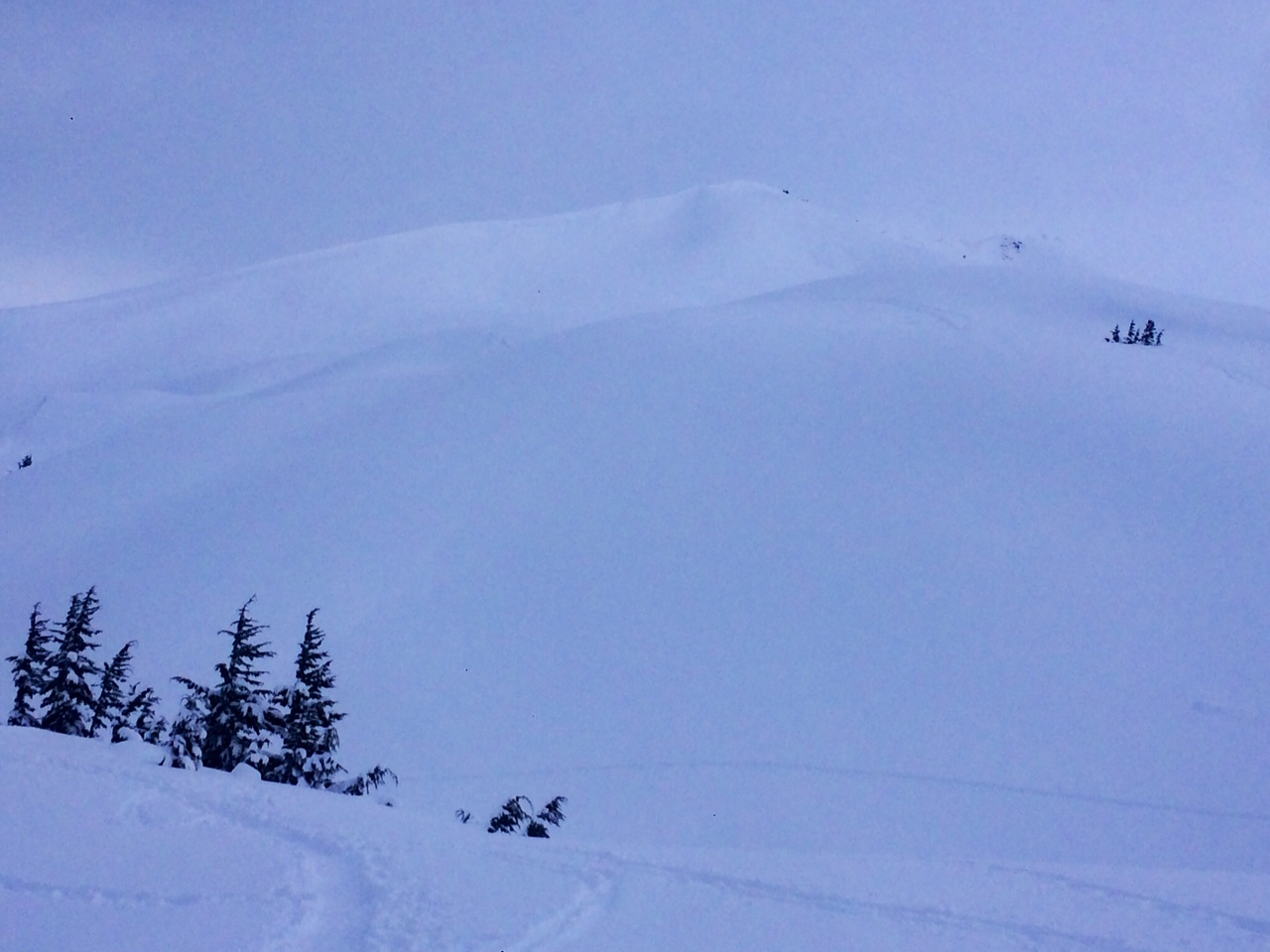
Common Bowl is looking white

Buried Surface Hoar that is intermixed with the broken particles just below the new snow (1mm grid).
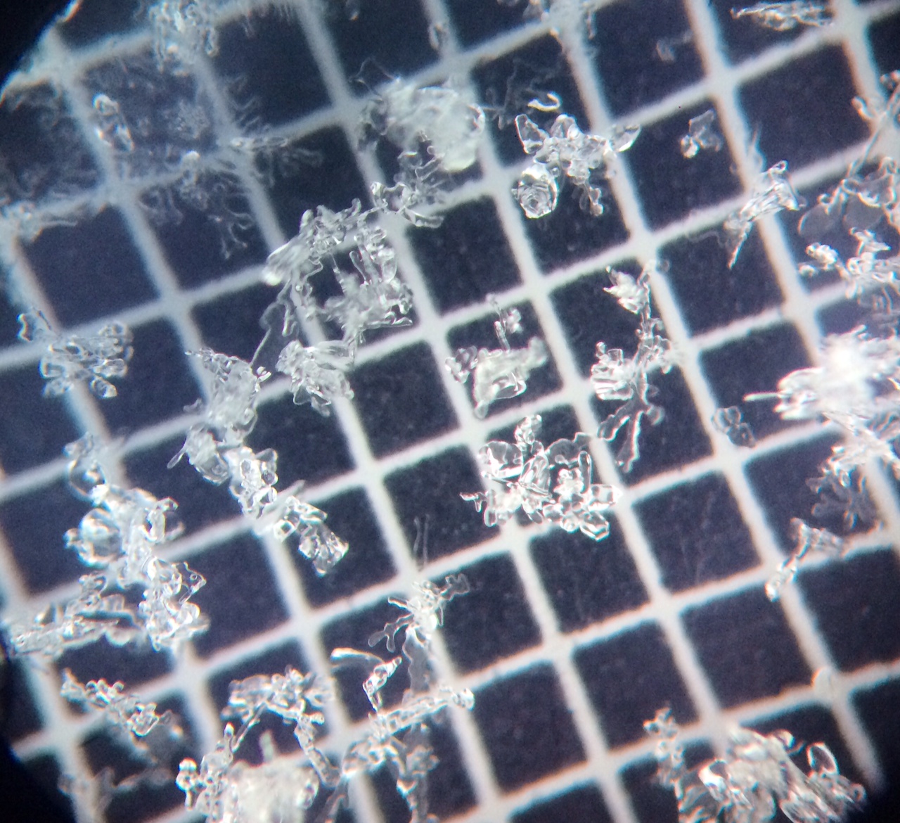
A look at the weak layer - broken precipitation particles - you can still see some of the original crystal shape (1mm grid).