| Recent Avalanches? | Yes |
| Collapsing (Whumphing)? | No |
| Cracking (Shooting cracks)? | No |
Observation: Turnagain
Location: Tincan
Tincan to 3200′
Obvious signs of instability
Observer Comments
Small D1 skier triggered "sluffs" and one D1 storm slab seen on CFR
Weather
Temps: 29-39F
Wind: 5-15mph, gust 30mph
Sky: Obscured, visibility was poor at times
Precip: Moderate to heavy snowfall at times
Rain/snow line: At 10:30am 800', at 4:30pm 1600'
Snow surface
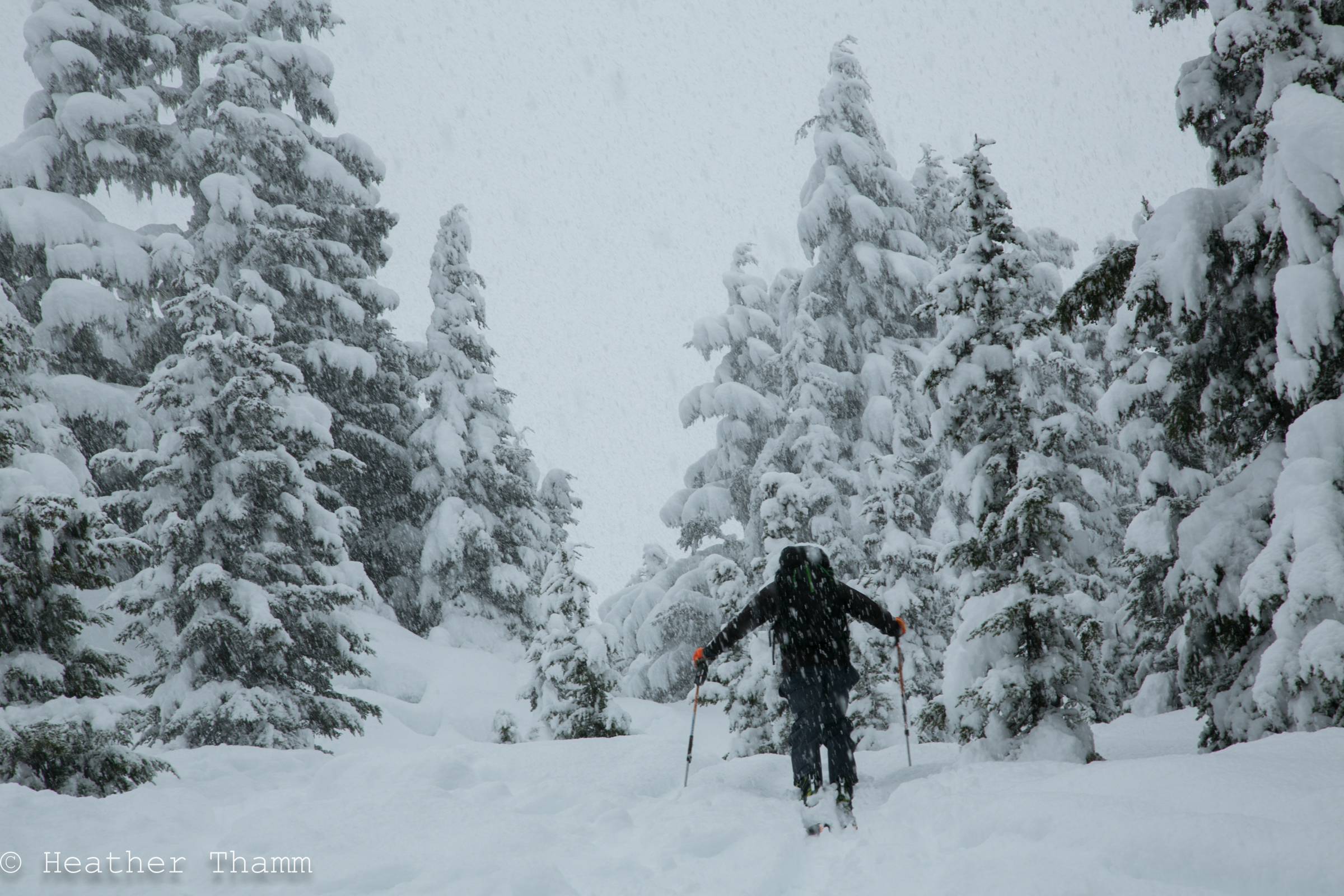
When we arrived at 10:30am it was 32F at the parking area (1000') and it was snowing big wet flakes. There was 2" of wet new snow on the ground. It was snowing 2"/hour as we climbed up Tincan for several hours. Snow continued throughout the day in the Alpine, but intensity was lighter in the afternoon. As temperatures warmed up rain/snow line moved up to 1700' by the time we descended around 4pm.
1000'= 2" new
2000'= 10-12"
3000'= 12-16"
Snowpack
Dug a few hand pits and could feel a firm crust on Southern exposures just below the new snow. Dug a quick pit at 2800' on a WNW aspect where the sun crust did not exist and it was challenging to differentiate between the new snow and old snow, but could feel a density change from 4F to 1F. The slab was not well bonded and fell apart easily, (ECTX)
*Prior to this storm we had several days of clear, warm weather, and surface conditions were variable. The sun's radiation left a firm sun crust on Southern and Eastern aspects. Warm temperatures below 1500' created melt/freeze conditions below this elevation on all aspects. In the Alpine on aspects not affected by the sun, variable surface conditions existed (alternating between scoured, Sastrugi, old wind slab, and low density snow.) Pockets of low density snow that were shaded from the sun may have some near surface faceting laying beneath today's new snow. Northern and Western aspects where these pockets of low density snow exist will be more suspect of poor structure.

Small D1 sluffs and a storm slab avalanche on CFR on Tincan at about 2600'
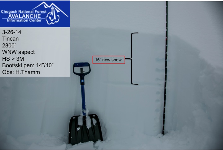
Accumulation in the Alpine was between 12" and 16" of new snow.
This picture was taken at 11:30am at 1600' on Tincan before temperatures increased to above freezing at this elevation.

This is a similar view of the trees at 4pm, 1600' on Tincan.

Here's a side by side view comparison of the same tree, 11:30am vs. 4pm. Photo by John Fitzgerald

After 2:30pm visibility was in/out for a few hours and allowed us to travel into the Alpine.

Along the ridge, just above Common Bowl, winds were gusting into the 30's at times.

Magnum's West Face with recent point releases from today, Photo taken at 4:30pm from Sunburst parking area.