| Recent Avalanches? | No |
| Collapsing (Whumphing)? | Yes |
| Cracking (Shooting cracks)? | Yes |
Observation: Summit
Location: Tenderfoot. Up to 2550'
Usual up-track on Tenderfoot up to 2550′
Obvious signs of instability
Observer Comments
Large whumph @ 1400' by the Tenderfoot cell tower that produced shooting cracks. Smaller whumph @ 2000' on a 30 degree slope. Ongoing snowfall and increasingly strong winds through the day.
Weather
Limited visibility, plenty of new snow falling throughout the day. Winds built through the day and were present from ridge tops down to road level. Winds strong enough to scour ridgelines in the alpine back down to bare ground. Temps were warm and rose to freezing at the snowtel site.
Snow surface
Thin very light wind skin forming as the winds picked up and blew the falling snow around. This was over ~6" of settled powder from the last storm.
Snowpack
Pit 1: 2000', 29 degree slope, NW aspect, HS: 107cm
20cm of settling powder at the top of the snowpack. This sits on a thin breakable sun crust. The rest of the snowpack is dominated by facets and ~30cm of 3-5mm depth hoar at the bottom of the snowpack.
Test yielded failures at the sun crust/ near surface facet interface 20cm down from the surface, at a layer of degrading buried surface hoar (~10mm)/ facets 40cm down from the surface, and at the top of the depth hoar 90cm down from the surface.
Test results at the sun crust/ near surface facet interface 20cm down from the surface were CT1 and ECTP9. Results at the buried surface hoar/facet layer down 40cm from the surface were CT13 and ECTN13.
Results at the depth hoar down 90cm from the surface were CT23 and ECTP30
Pit 2: 2550', 29 degree slope, NW aspect, HS:117cm
Thin 1-2mm wind forming at the surface over ~15cm of settling powder. More wind effect at this elevation. Found a layer of small 2-3mm buried surface hoar and near surface facets just below the snow from this last storm. The bottom of the snowpack here was large 3-5mm depth hoar.
Test yielded failures at the layer of buried surface hoar 20cm down from the surface, at a layer of 1.5-2mm facets 36cm down from the surface, and at the top of the depth hoar down 55cm from the surface.
Results at the buried surface hoar layer 20cm down from the surface were CT10 and ECTN7.
Results at the 1.5-2mm facet layer 36cm down from the surface were CT15 and ECTN12.
Results at the top of the depth hoar 55cm down from the surface were CT22 and ECTP22.
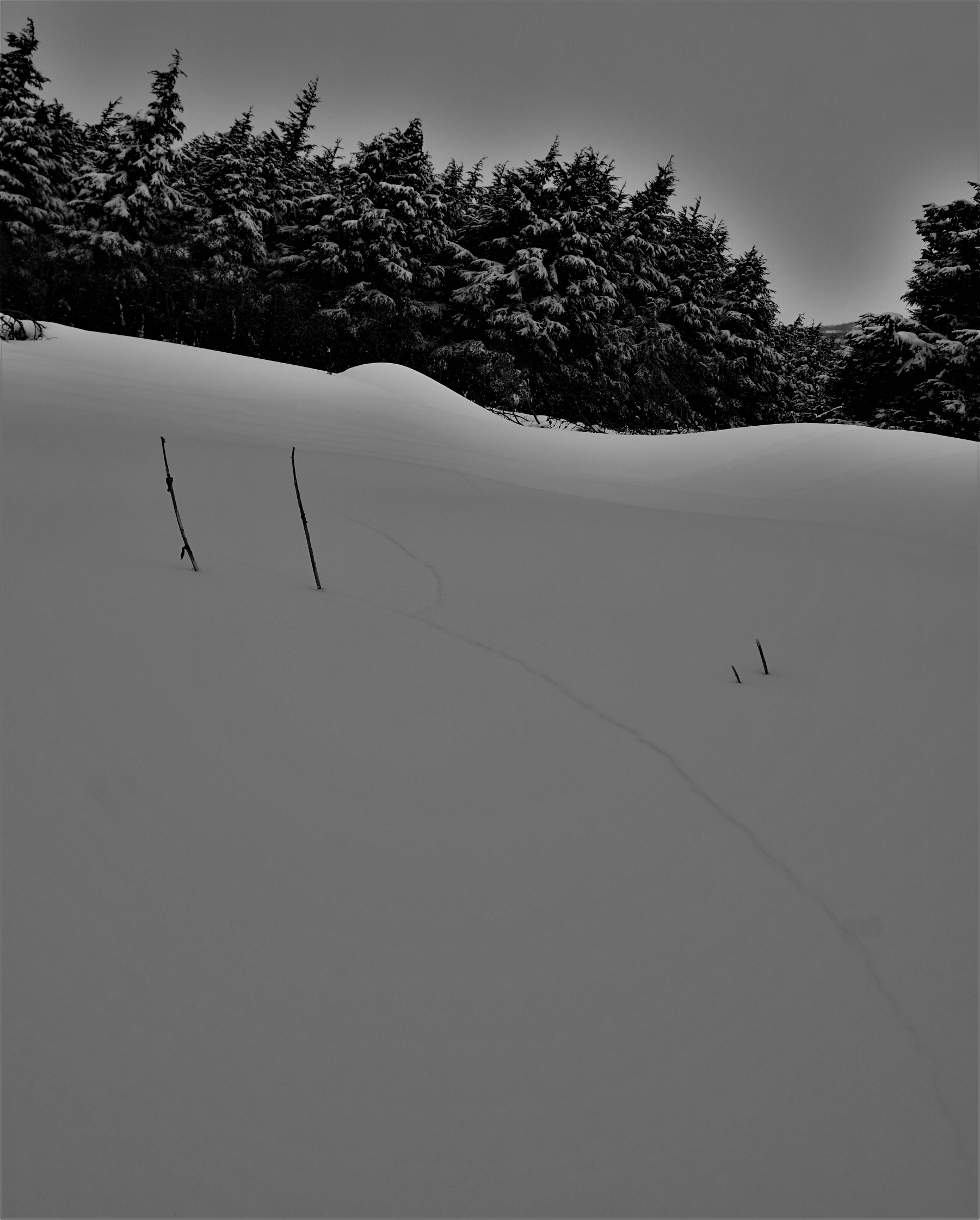
Shooting crack from whumph at 1400'
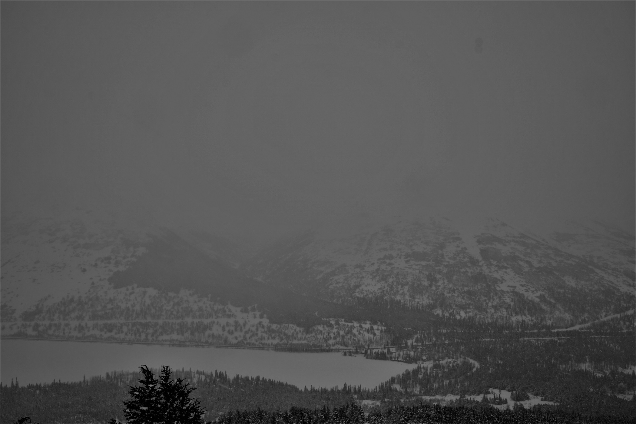
Low visibility day due to stormy weather
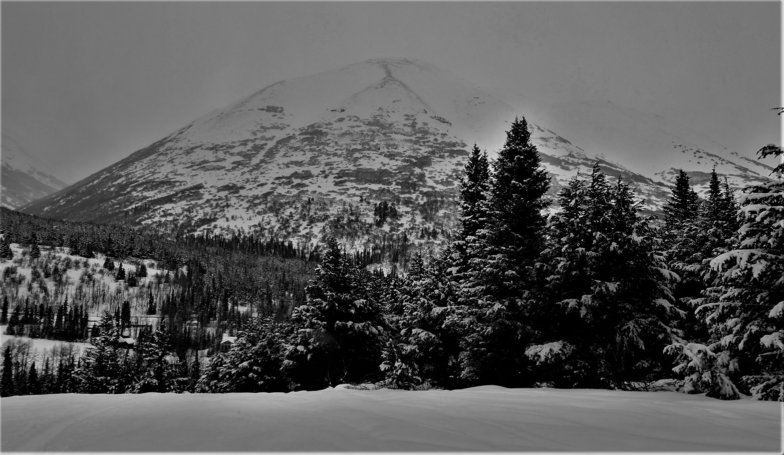
Ridges in the alpine on adjacent peaks still scoured to bare ground
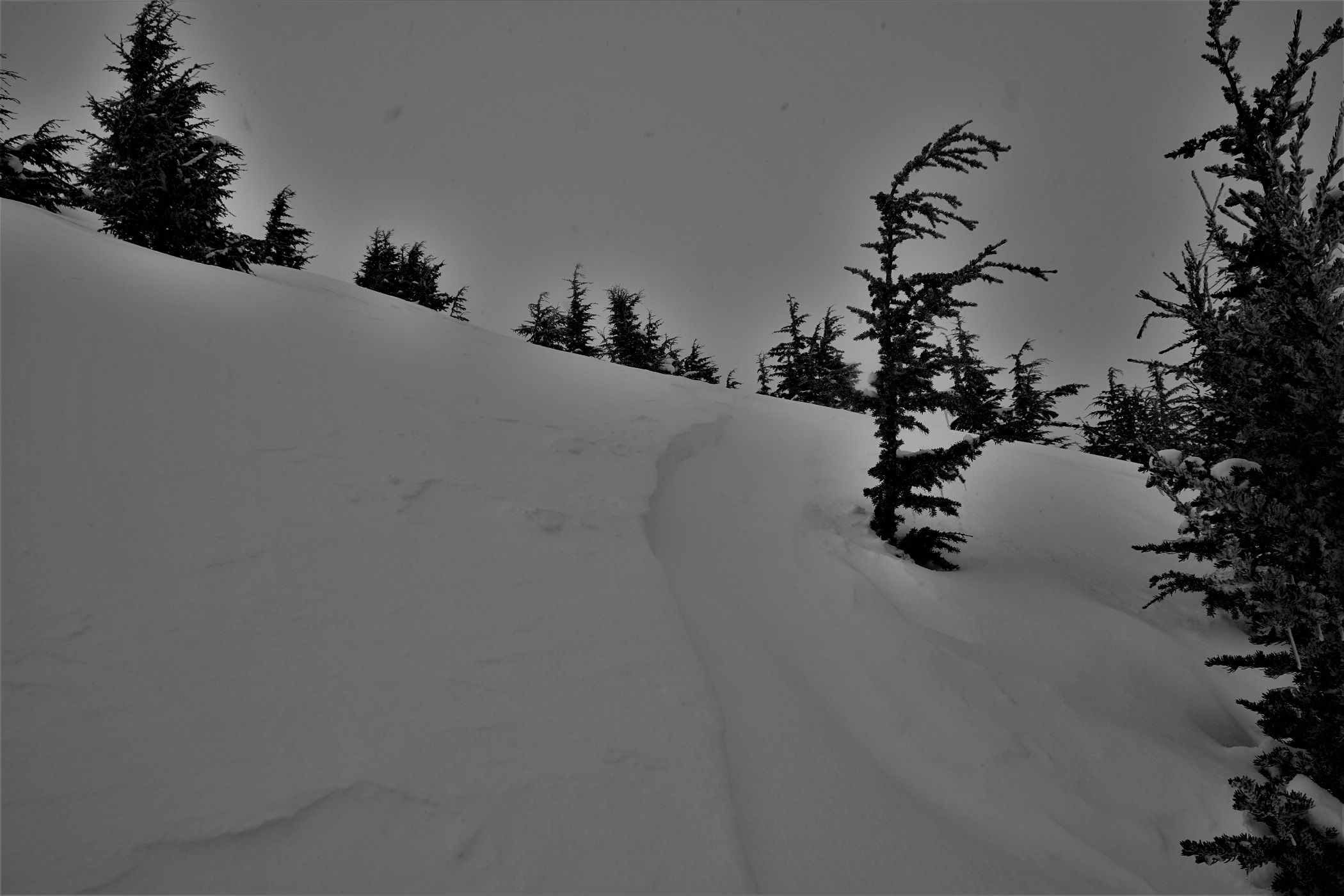
Wind effect on the snow surface at 2550'. Skin track from previous day filling in.
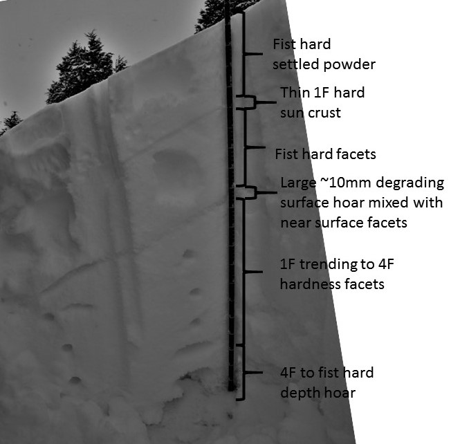
Profile of Pit 1

Buried surface hoar in the pit wall from Pit 1
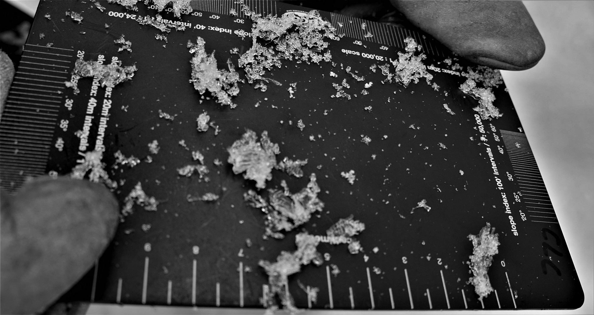
Buried surface hoar from Pit 1
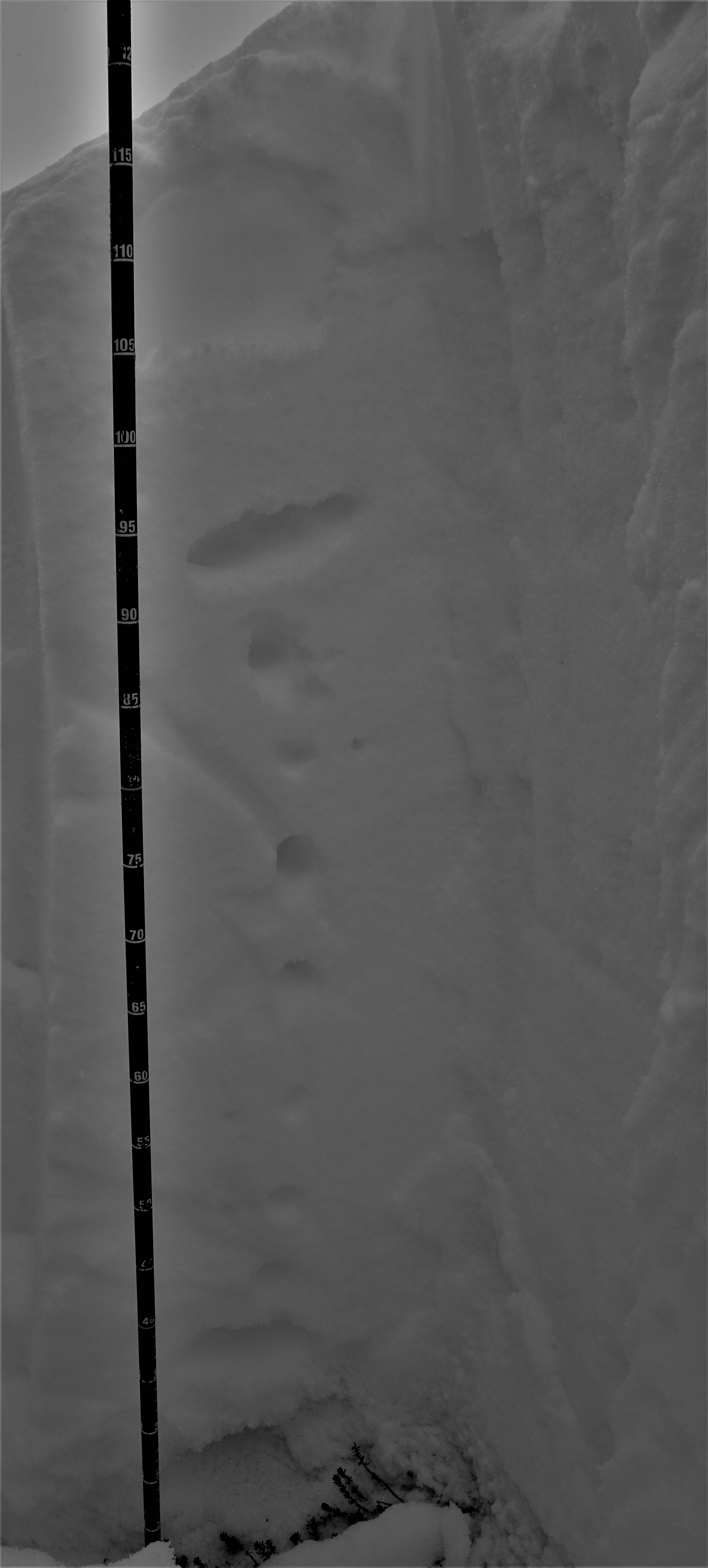
Hardness profile Pit 2
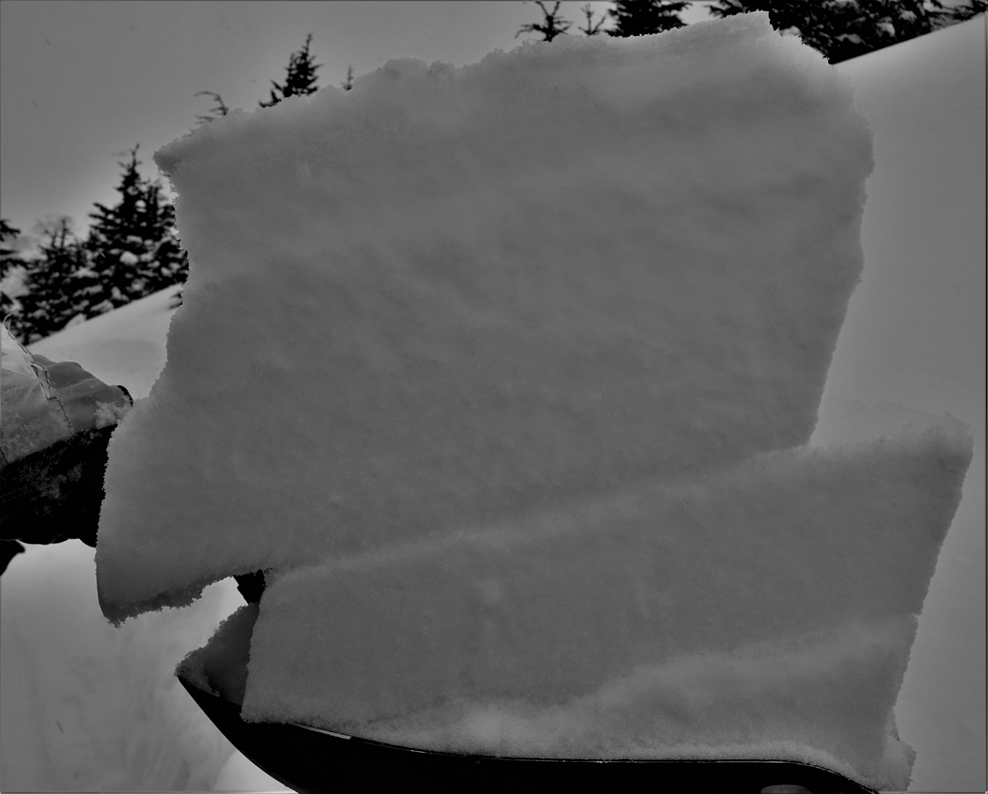
Shovel tilt test showing failure at the buried surface hoar in Pit 2

Depth hoar from the bottom of Pit 2