| Recent Avalanches? | Yes |
| Collapsing (Whumphing)? | No |
| Cracking (Shooting cracks)? | Yes |
Observation: Summit
Location: Tenderfoot Peak
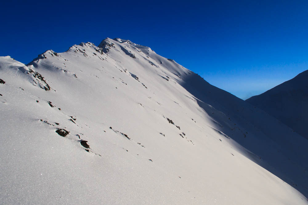
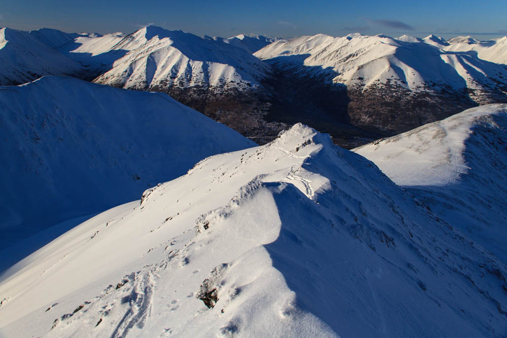
Toured out to Tenderfoot Peak to see how Summit is shaping up. An inch or two on grass to the top of the big meadow, couple inches of dry powder/hoar frost on ~4″ breakable melt-freeze up to a bit above tree line, dense wind-blown powder up high with a healthy layer of hoar frost on top. Coverage looks better than it is up there. Sharktown, USA.
Localized cracking in obviously loaded pockets. Lots of chunder balls around from the warm & wet cycle last weekend. Several larger refrozen debris piles in Tenderfoot Creek drainage from the same cycle. Glide cracks (some released, some not) on south-facing slopes in the Mills Creek drainage.
Temps in the high 20s, no wind
Settled powder above ~3,000'. Hoar frost ~1/4" tall on all aspects.
No tests done, just poked around. Depth varied from ~6" on ridges/noses to a couple of feet in gully features.


