| Recent Avalanches? | No |
| Collapsing (Whumphing)? | Yes |
| Cracking (Shooting cracks)? | No |
Observation: Summit
Location: Tenderfoot
Common uptrack to Tenderfoot ridge, high point around 2,600′.
With such poor light, we had no way to assess the natural avalanche activity that likely occurred in this area between Feb 18 and 20.
Obvious signs of instability
Observer Comments
One whumpf felt at 2,400' near where pit was dug. Collapsing in faceted snow 2-3' deep was the likely culprit.
Weather
Obscured skies
Light snowfall (1" or so new from the day).
Calm (no wind)
Temps around 20-25F
Snow surface
6-10" of soft settled powder.
Appeared to be around 8-10" of new snow since Monday (Feb 17).
Very little wind effect in the new snow, but significant old wind effect underneath above the trees.
Snowpack
Very poor structure. A 2-3' foot slab sits over various layers of very weak faceted snow with degrading crusts intermixed. The slab is generally fist hard on the surface transitioning to 1 finger to 1 finger plus on the bottom. So, a relatively soft slab. Facet layers are 5 to 20cm thick and are fist hard to 4 finger.
Dug two pits close to each other and near location of collapse (whumpf)
Snow depth 165 to 185 (5-6'), West aspect, 2,400' elevation
ECTP 17, 22 and ECTX at the top of the facets 90cm down (3')
ECTP 15, ECTX x 2 at an old storm interface that was 50cm (20") down
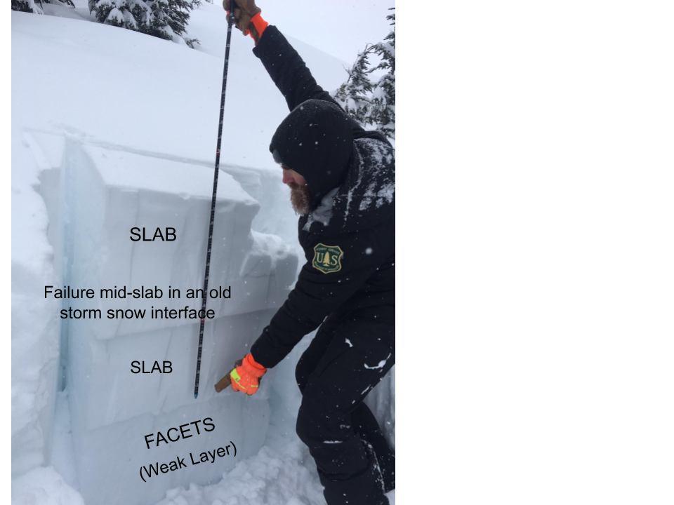
Three foot slab over facets. Of note, in one of our three ECT tests, a mid-slab failure occurred in decomposing fragments. This is an old storm snow interface that is slow to heal.

Pit profile
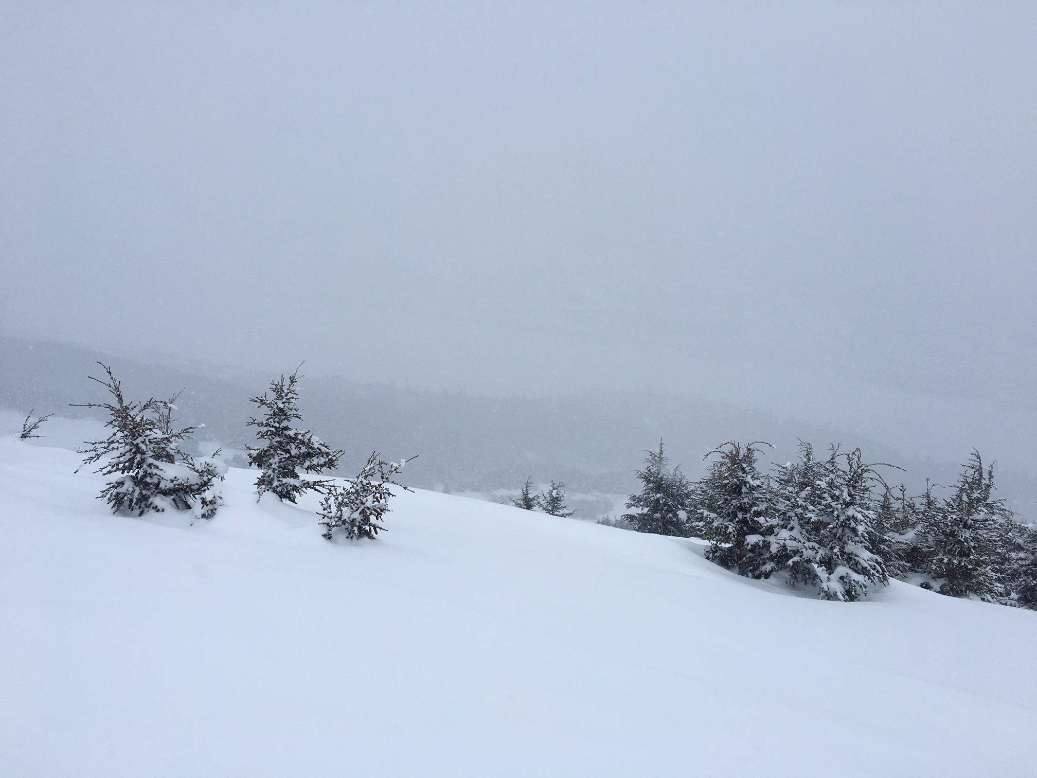
We were hoping to view some signs of natural avalanches that occurred last Tues-Thur, but obscured skies shot down our hopes.
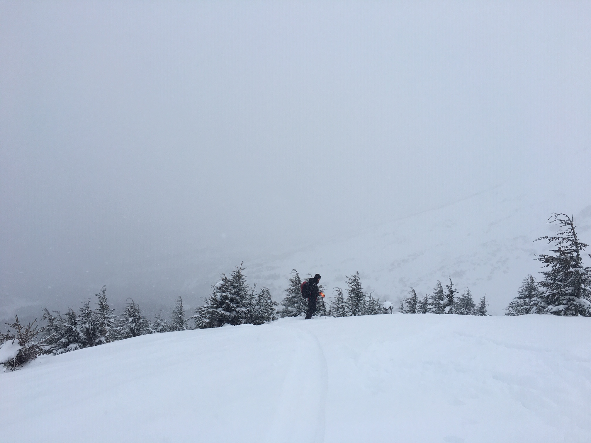
Looking toward Butch and what seemed to be debris under the Incredibles, but again the light was too tough.