| Trigger | Natural | Remote Trigger | 0 |
| Avalanche Type | Unknown | Aspect | Unknown |
| Elevation | unknown | Slope Angle | unknown |
| Crown Depth | unknown | Width | unknown |
| Vertical Run | unknown |
Avalanche: Summit
Location: Tenderfoot
Toured up Tenderfoot to 2450′ to a North aspect, but still in low angle terrain. A recent large avalanche was visible from the road on the North facing terrain of Tenderfoot. We did not make it to the crown.
Obvious signs of instability
| Recent Avalanches? | Yes |
| Collapsing (Whumphing)? | No |
| Cracking (Shooting cracks)? | No |
Observer Comments
Recent avalanches were seen from the road on:
Butch - W aspect
Tenderfoot - N aspect
Tri-Tip W aspect
Templeton - W aspect
See Summit Road Obs from 3/21 for photos
Weather
Overcast becoming obscured by 1pm
Winds increased to 15-20mph from the East around 1pm
Light snow flurries at 2400' and light rain along road
Temps- mid 30F to low 40Fs
Snow surface
Wet snow surface to our turnaround spot at 2450'
Snowpack
From the road to ~1800' the whole snowpack is wet and saturated and boot punches through to ground, ski pen 8-14".
Wet snow in the top 12" becomes mixed with layers of moist precip particles as we ascended to 2450'.
Pit at 2450'- N aspect, 26* slope, HS=150cm. Top 35-40cm was new snow from the last 10 days and had many wet layers mixed with moist new snow. Compression tests failed with moderate force on the new/old snow surface with had 3-4mm buried surface hoar mixed with moist facets.( CT20, CT18, ECTN23) No propagation in Extended Column test, but failed under blade on new/old snow interface. Shovel sheers showed two weak layers 70cm down (facets) and 80cm down (buried surface hoar.) We suspect the layer 80cm deep to be the "MLK BSH" due to the size of the surface hoar -8mm.

Recent avalanche on N aspect of Tenderfoot visible from the road.
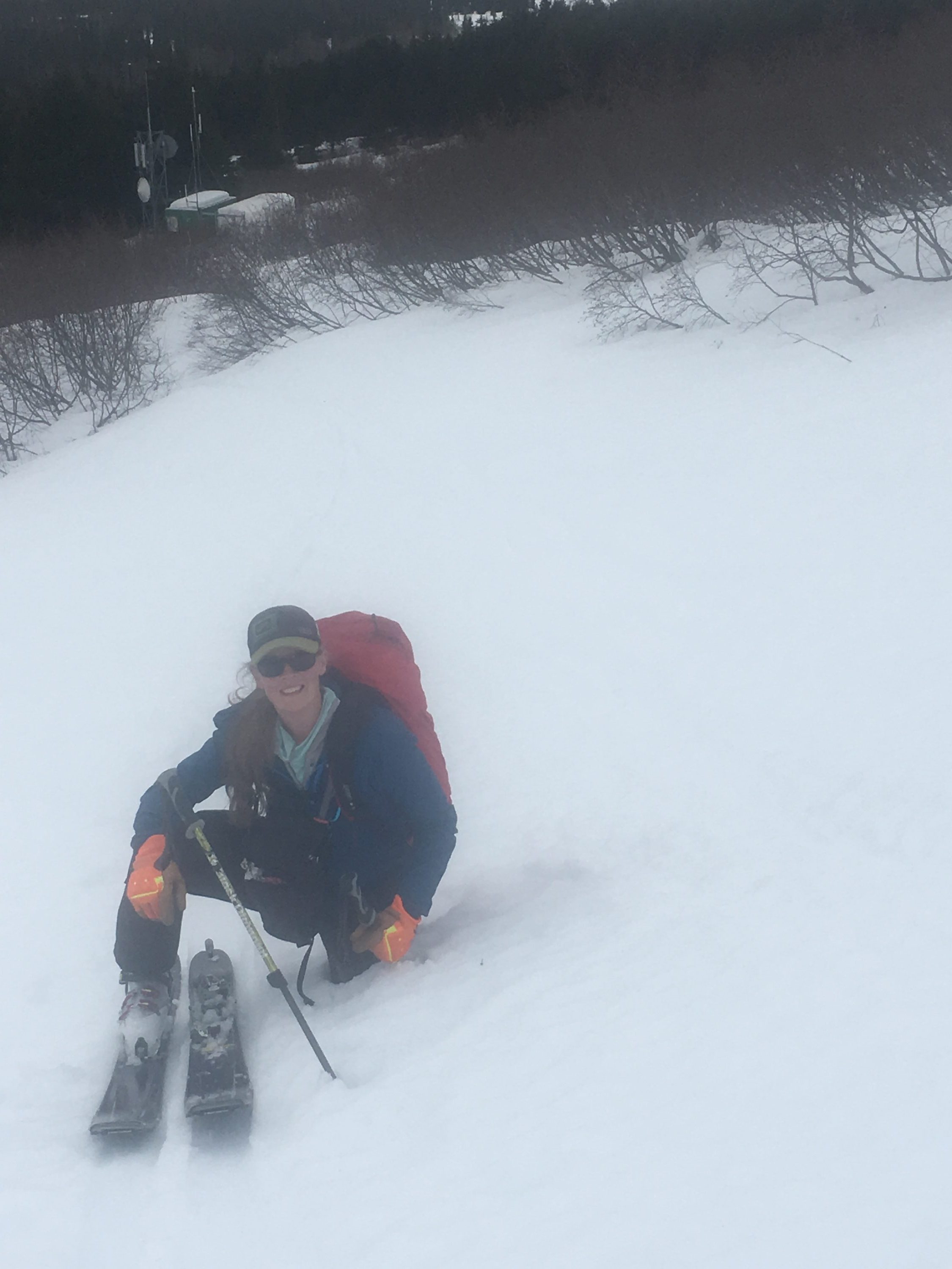
Boot pen to ground at 1500' just above cell tower

Skis punched through snow 8-14" below 1800'
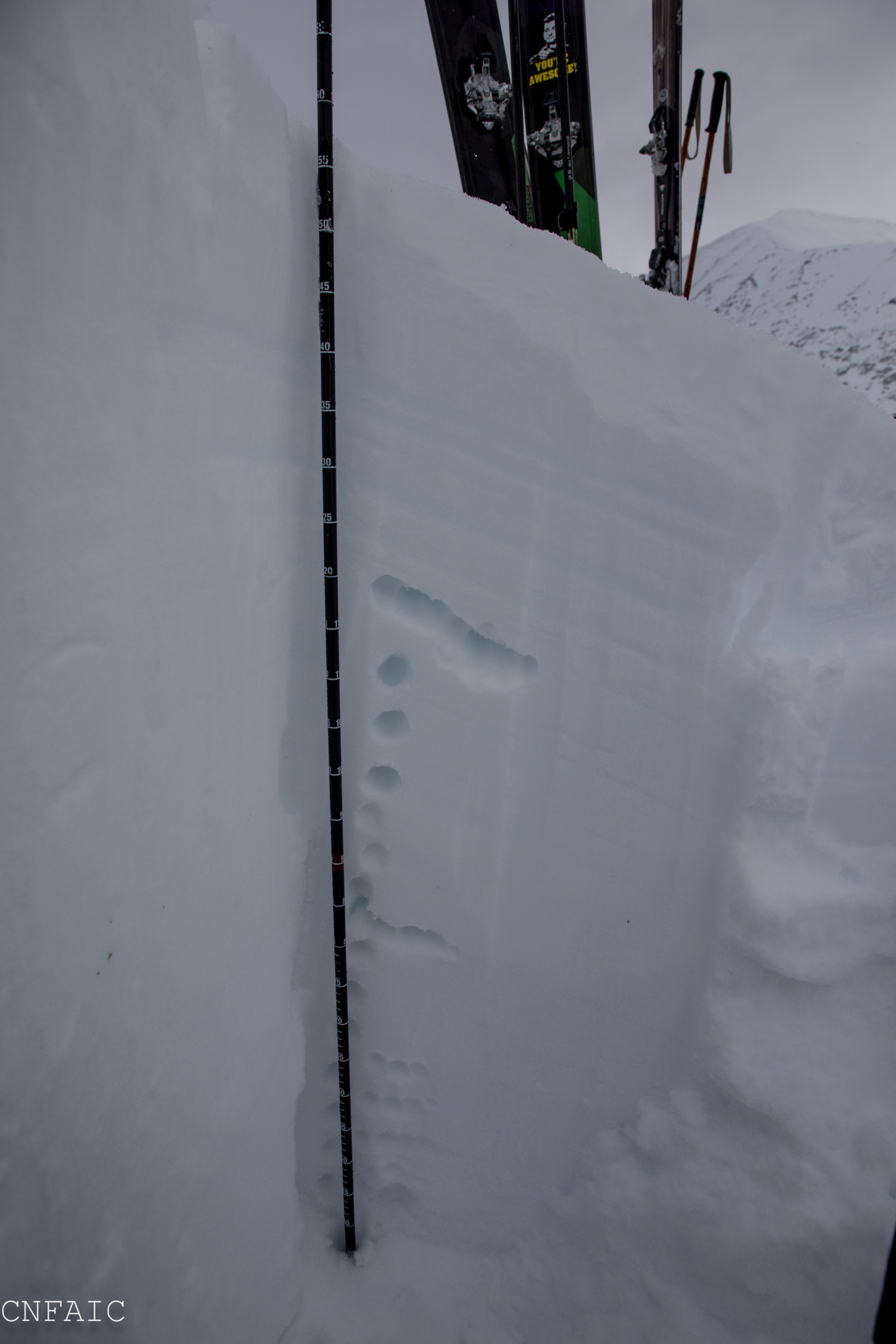
Pit at 2450'- hand hardness of slab was 4F to Fist near top. Lines in slab are wet and moist snow in top 35cm.

No propagation in ECT