Overcast Sky
Trace Precip (none to s-1)
Calm to light winds
Temps in upper teens
Observation: Summit
Location: Tenderfoot
Standard Tenderfoot up-track to 2700′, dug at various locations looking for evidence of buried surface hoar, recent wind effect and the previously noted crust facet interfaces.
Weather
Snow surface
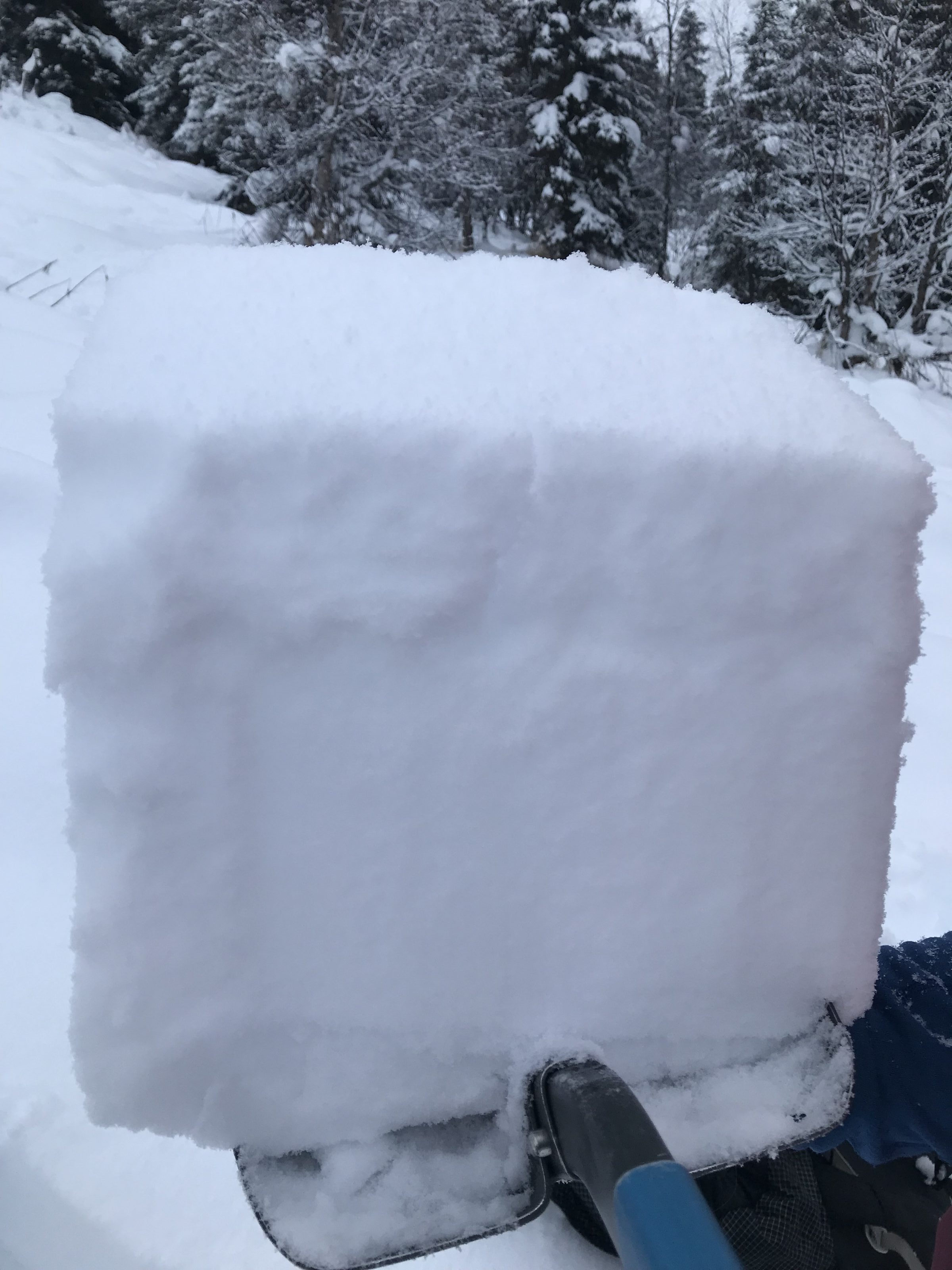
4" of new snow/settled powder with rimed grains present from road to 2700'
Wind effect/packed powder above approx 2600'
Snowpack
Set out looking for potential buried surface hoar layer, wind effect, and previous basal crust freeze interface.
Found a consistent BSH 10cm (4") down in all elevation bands, as well a second BSH 3cm down at upper elevations. This BSH layer varied in size from 3mm-1cm.
We also found a basal crust facet layer interface increasing in depth with elevation increase (5"-12" thickness)
Hand Pit#1- Tenderfoot - NW Aspect - 1400' - HS: 50cm
3-6mm BSH down 10cm
Hand Pit #2- Tenderfoot - NW Aspect - 1800' - HS: 60cm
BSH down 10cm
Hand Pit #3- Tenderfoot - NW Aspect - 2250' - HS: 90cm
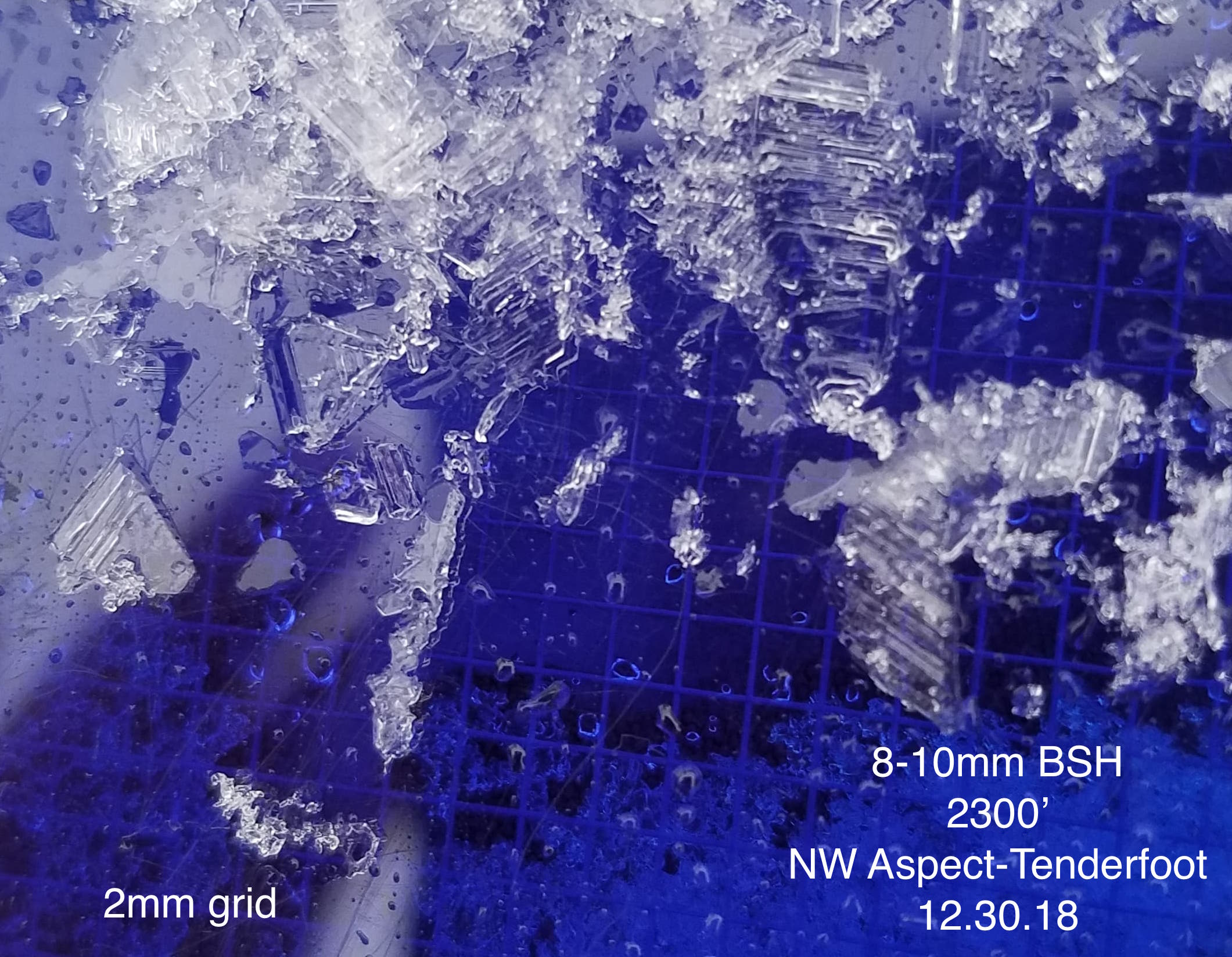
8-10mm BSH down 10cm
crust/facet interface down 65cm
Pit #1- Tenderfoot - NW Aspect - 2330' - HS:90 - 27 degrees
8-10mm BSH down 10cm
CTN
CT22 down 90cm on 1F moist facets
ECTX
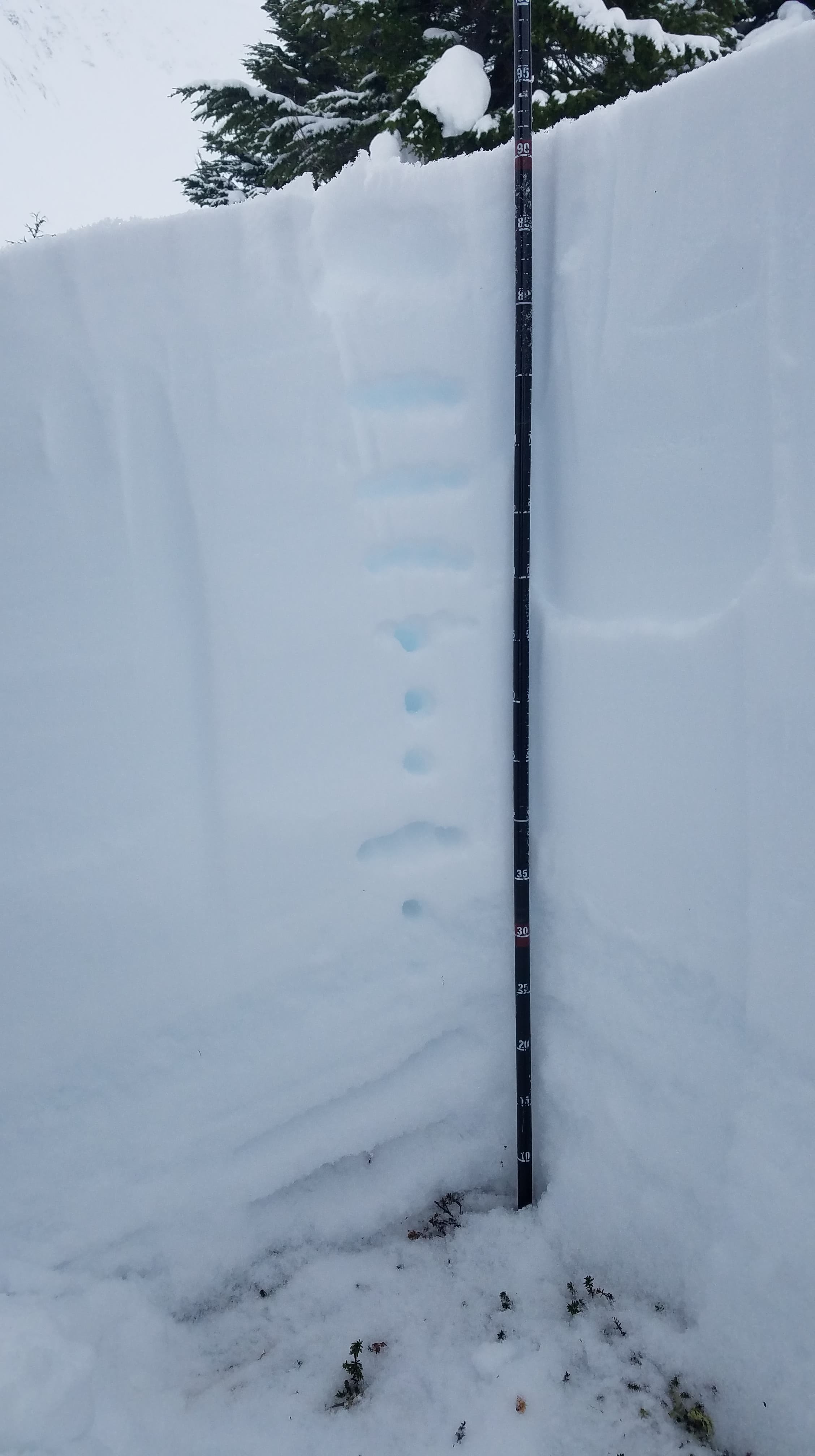
Pit#2- Tenderfoot - NW Aspect - 2700' - HS:105 - 28 degrees
CT21 down 80 on P hard crust
CT22 down 85 below P hard crust (in 4F facets)
CT19 down 35 on a decomposing layer with angular features
ECTP27PC down 35 on a decomposing layer with angular features
PST95/100 END down 80 on facets over P hard crust
Tenderfoot NW Aspect BSH-1300'

Tenderfoot NW Aspect Hand Pit- 2250'
Tenderfoot NW Aspect - Hand Pit BSH - 2250'
Tenderfoot Pit #1- NW Aspect - 2330'

Tenderfoot Pit #2- NW Aspect - 2700'

Tenderfoot BSH - 2700'
Weather moving into Summit