| Recent Avalanches? | Yes |
| Collapsing (Whumphing)? | No |
| Cracking (Shooting cracks)? | No |
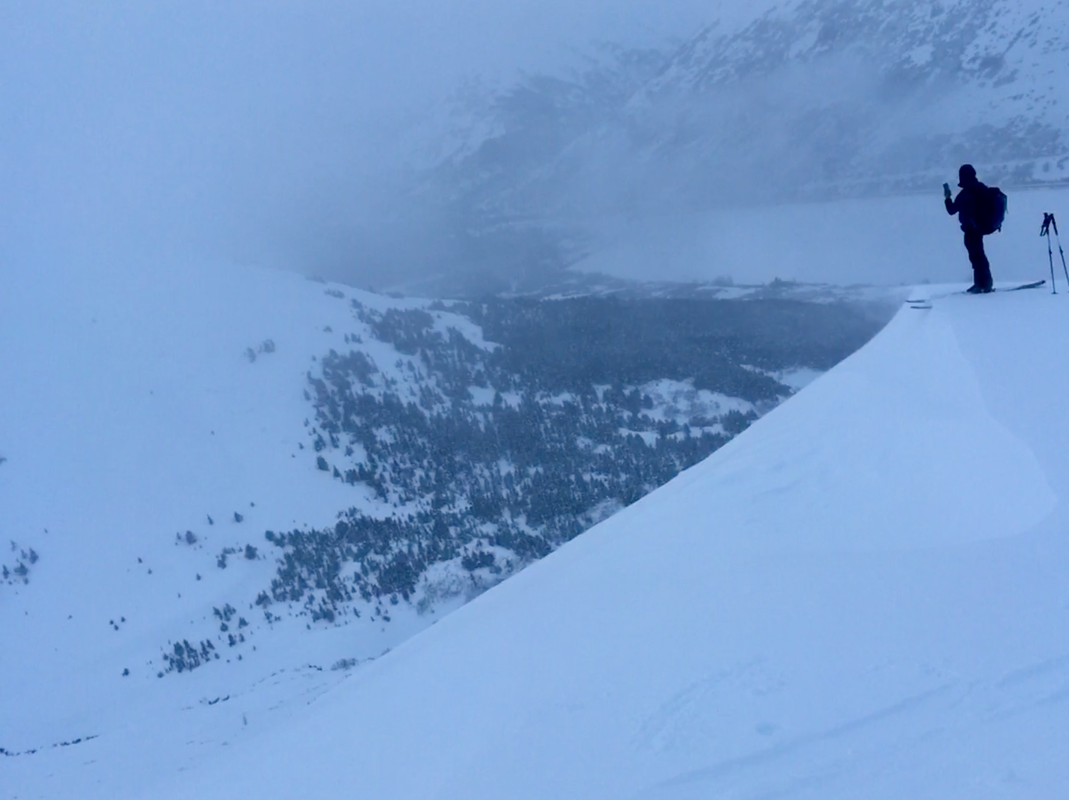
Observation: Summit
Location: Tenderfoot
Tour up onto the Tenderfoot ridge to take a look at the new storm snow and the weak layers deeper in snowpack.
Obvious signs of instability
Observer Comments
Relatively small cornice fall that triggered a small wind slab (50' wide, 1-2' thick). Debris ran up to 400'. See photo.
Weather
Mostly overcast skies
Gusty Northerly winds above treeline (up to ~15mph)
Temps warm, 32F in parking lot and upper 20'sF along ridge
Light snow flurries midday, adding a trace only
Snow surface
Soft moist powder, 5-10" ski pen, in trees. Wind effect above treeline along with a large amount of challenging breakable wind crust in open areas above treeline.
Snowpack
General height of snow was 3' above the treeline and 1-2' below treeline.
Wind crust up to 5" and hard wind slab found above treeline. Under this we found a stable snowpack. The facet/crust combination that now sits around 2-2.5 feet deep that we were investigating did not show signs of failure or propagation at 2,700'. See pit profile.
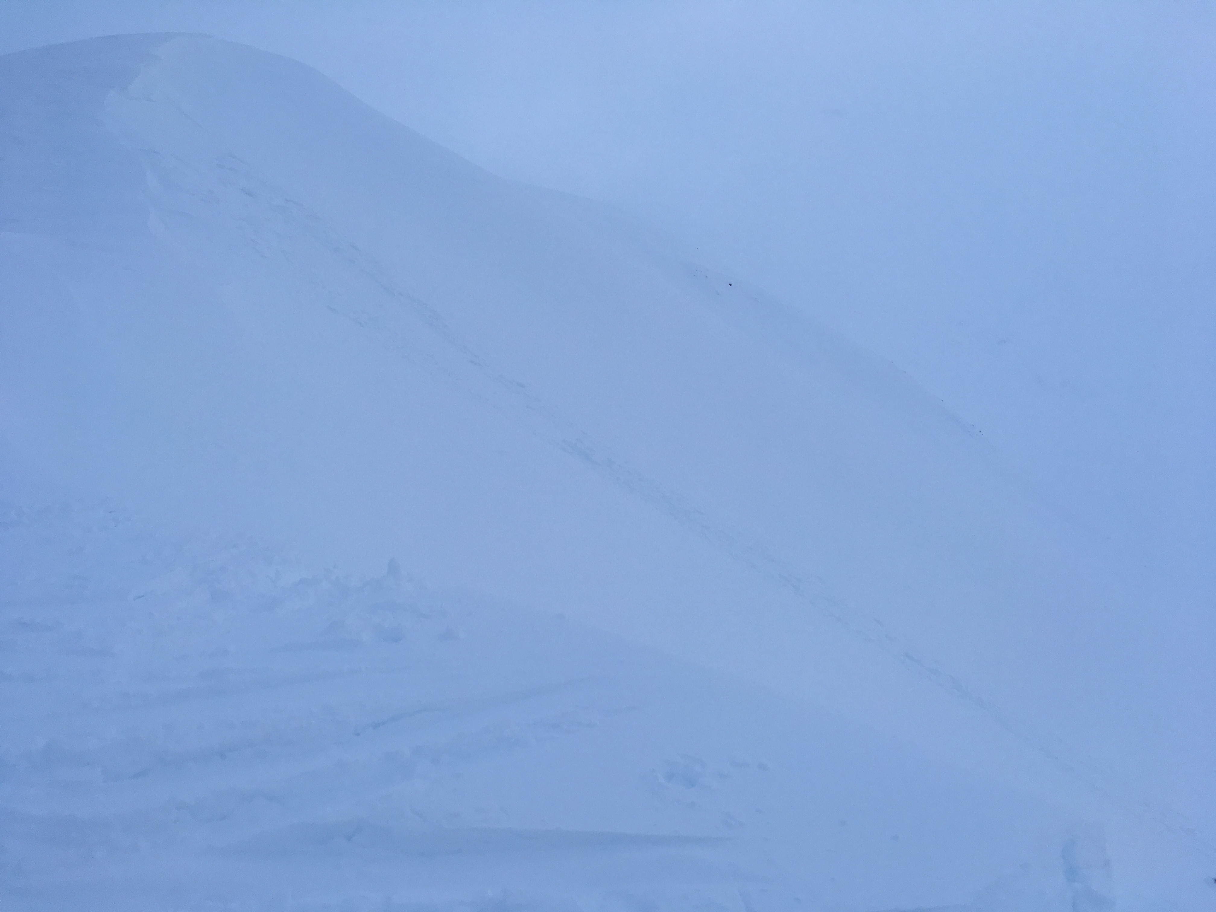
Natural cornice fall and subsequent wind slab avalanche seen on the SW face of Tenderfoot.

Wind crust and wind slab found on the surface, no other instabilities found in this pit
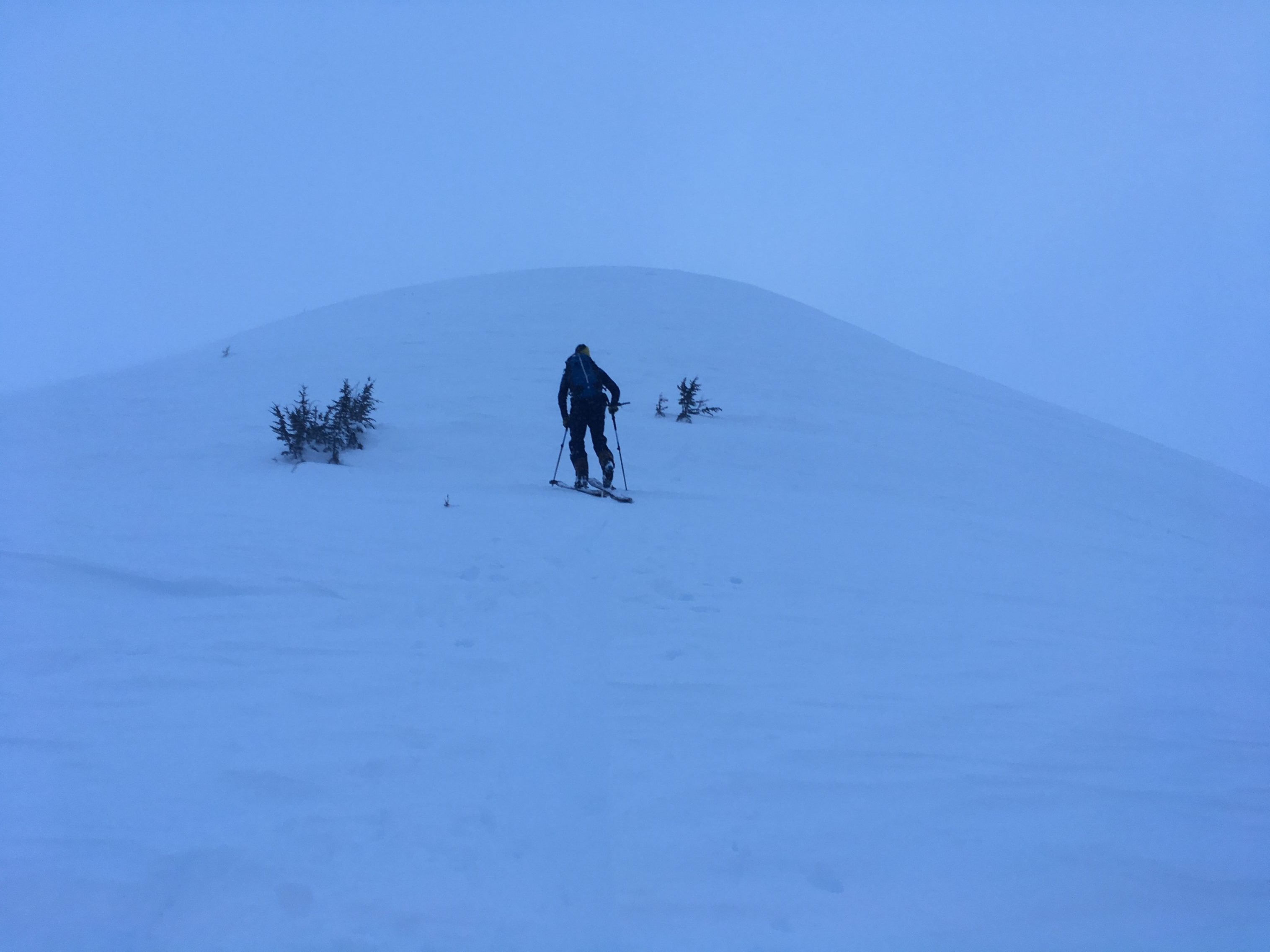
Wind effect on Tenderfoot ridge
Small cornices, low visibility, gusty winds and some light snow flurries
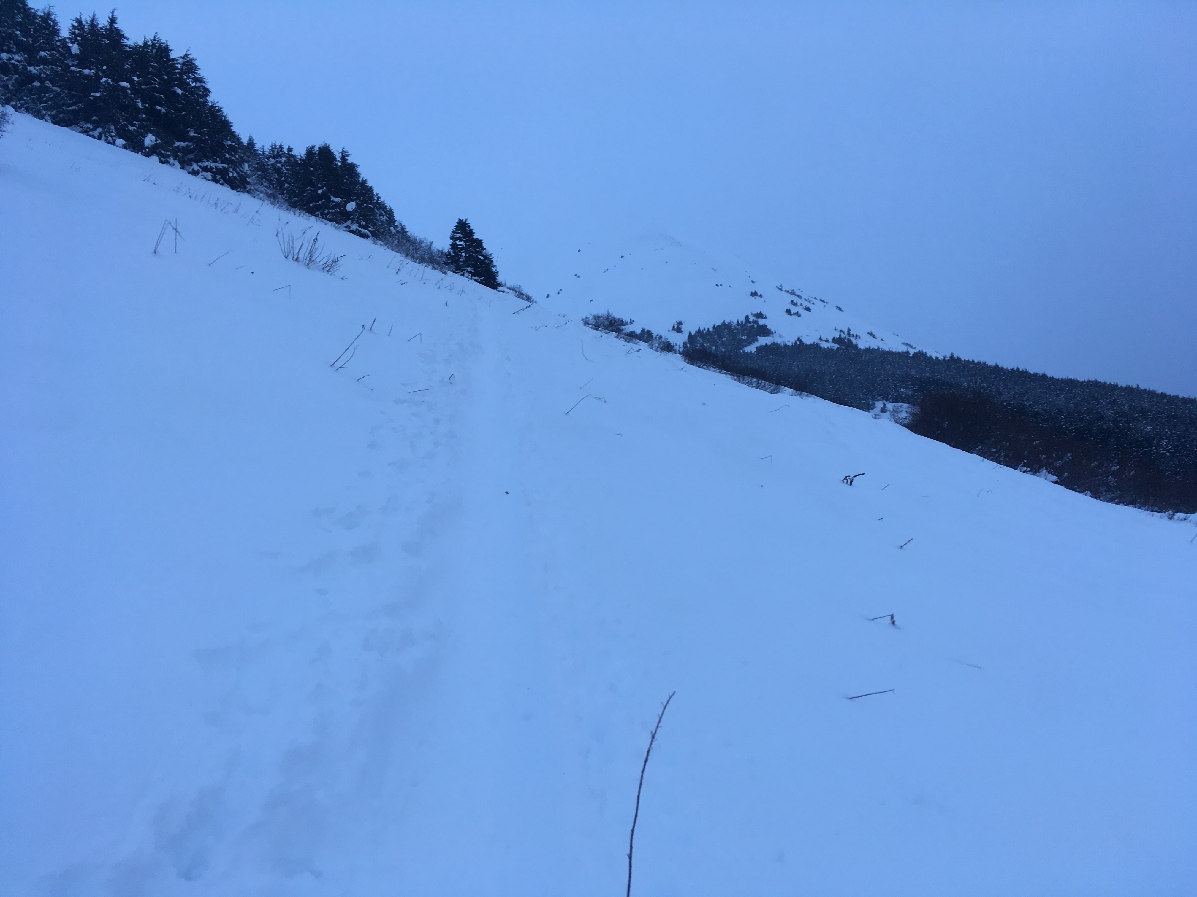
Still thin, around 2' thick snowpack, in the meadows approaching the ridge