| Trigger | Natural | Remote Trigger | 0 |
| Avalanche Type | Hard Slab | Aspect | North |
| Elevation | 2800ft | Slope Angle | unknown |
| Crown Depth | 4ft | Width | 300ft |
| Vertical Run | 1000ft |
Avalanche: Summit
Location: Tenderfoot
Went for a tour on Tenderfoot to gather info for the Summit Lake Area. Dug our pit at 2,000ft and turned around not long after due to very unstable conditions.
Avalanche Details
We were not able to approach close enough to get actual measurements. The avalanche was on the northern face of Tenderfoot. Likely a natural release. It looked to be a wind loaded zone that released within the last 24 hours, and most likely within the last 12 hours. The crown varied in depth from 1 to 5 feet and looked to have broken down to the ground in some areas. 200-300ft in width and ~1000feet in length. Likely a hard slab but we were unable to approach the debris or slide area.
Obvious signs of instability
| Recent Avalanches? | Yes |
| Collapsing (Whumphing)? | Yes |
| Cracking (Shooting cracks)? | Yes |
Observer Comments
On the skin up at around 2000 ft we had widespread, repeated, alder shaking whumphing across a large slope. Significant shooting cracks across large portions of the slope secondary to the whumphing. Had the slope been any steeper it likely would have slid.
Weather
Very warm, right around freezing at the pullout. Just below freezing but still warm up to treeline. Skies overcast with pretty flat lighting all around. Light snow flurries while we were touring up with minimal accumulation. No wind at or below treeline and no obvious signs of current winds in the alpine.
Snow surface
Surface snow had fallen the previous day and was very warm/wet, ~15-20cm total snow. There was ~30-40cm from this storm cycle starting 1/25. No wind effect below treeline.
Snowpack
We dug our pit on a northwest aspect at 2000ft on a 30 degree slope. Our total snow depth was 105cm. There was 15cm of fist hard trending into 4F hard new snow at the top of the pack. Below this is 30cm of 4F hard trending to 1F hard small rounds. Below the rounds there is 50cm of facets and at the ground we had 10cm of moist depth hoar. We had an ECTP13SC at 55cm of depth at the facet layer. We dug and exposed a shooting crack and were able to clearly see the crack extending down to the same layer of facets that our ECT failed on. See video.
Summit Lake currently has a very unstable snowpack at all elevations currently.
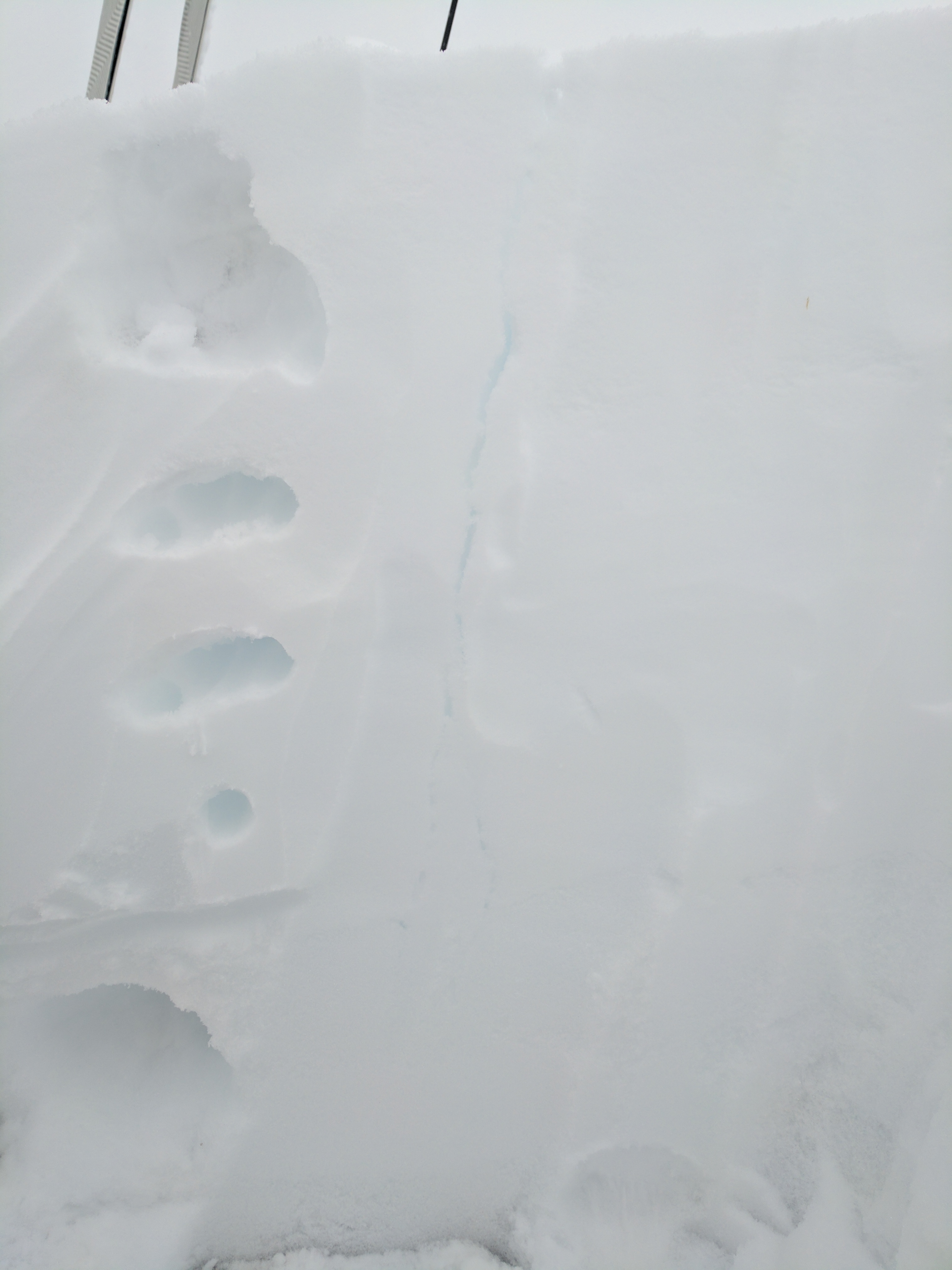
Hand hardness profile next to a crack that extends down to the reactive facet layer
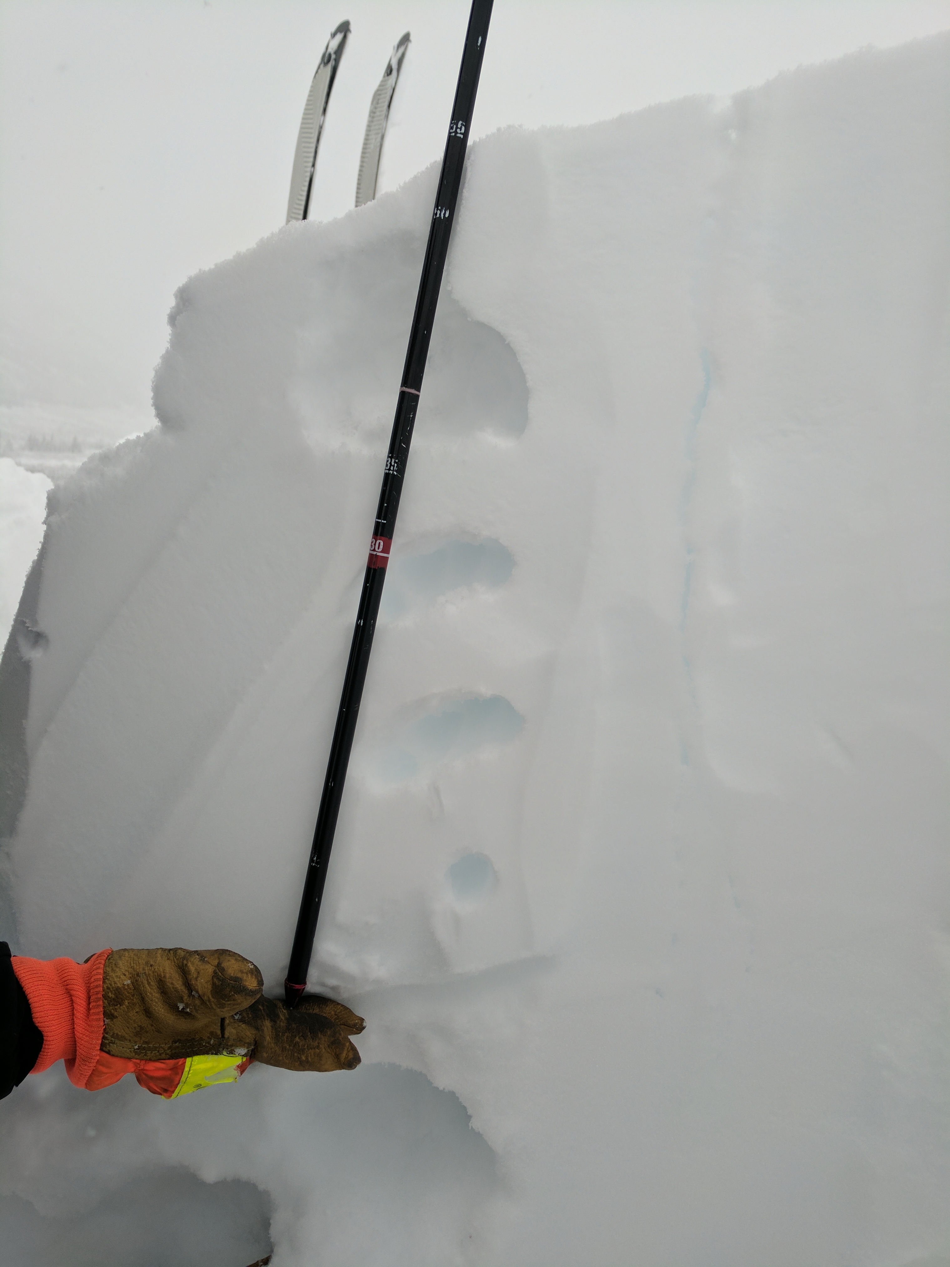
Depth of the reactive facet layer
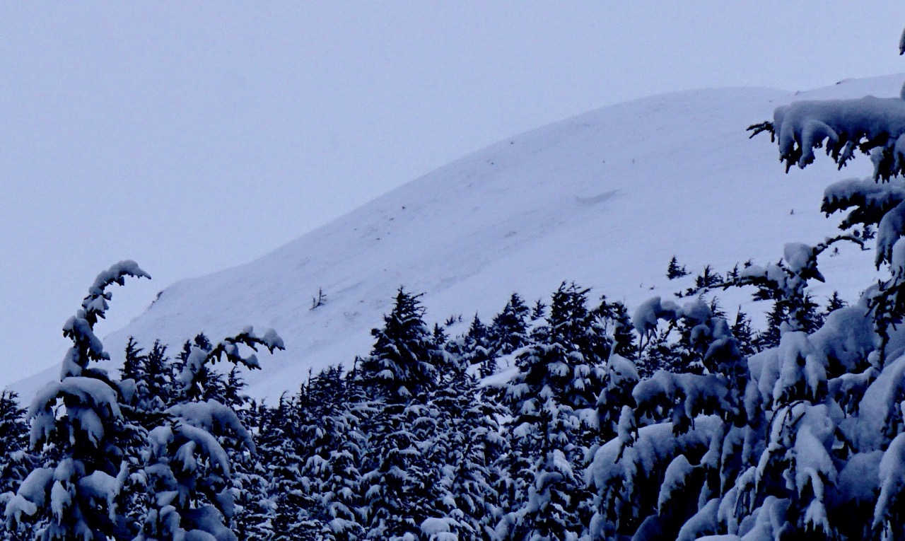
Crown line and slide path of the avalanche off the Northern face of Tenderfoot
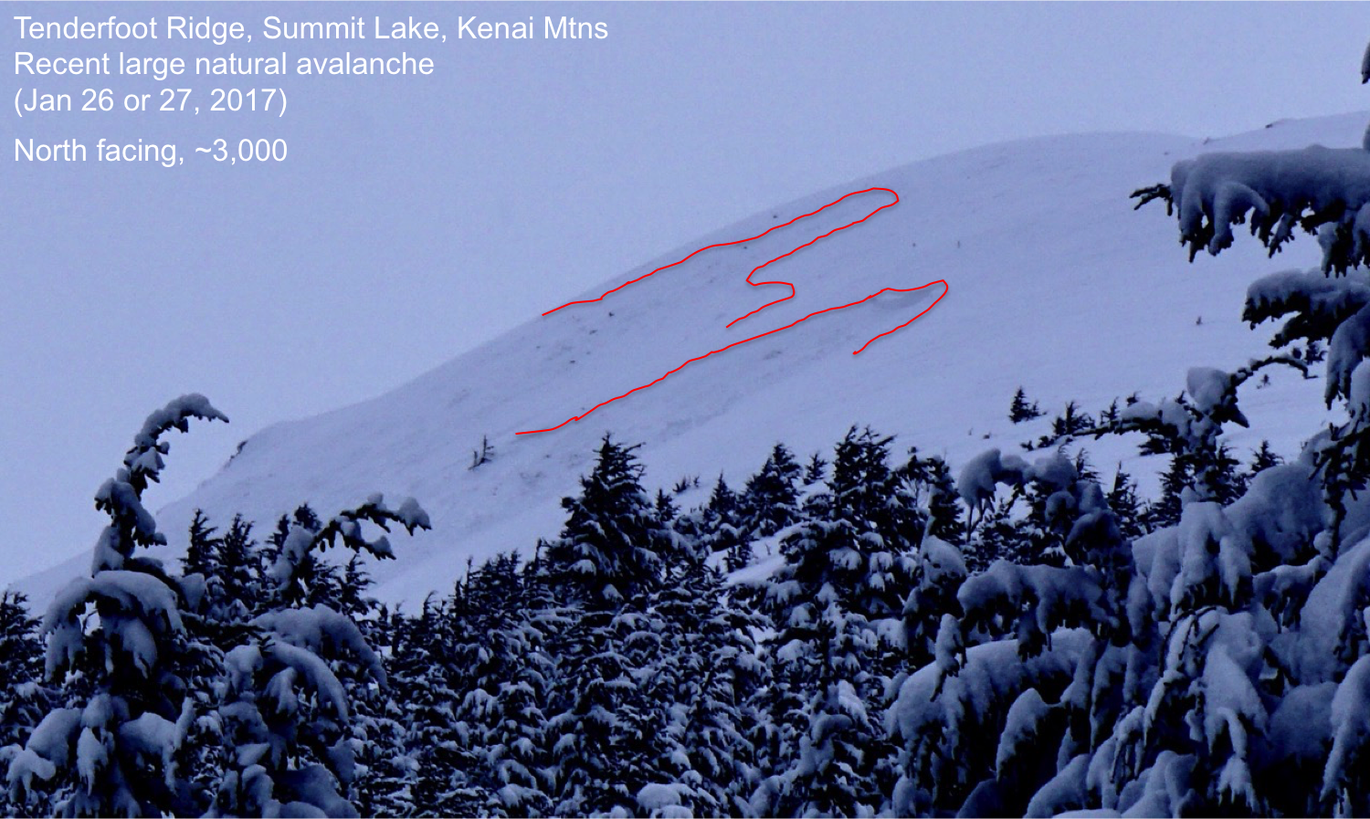
Annotated photo of the avalanche