| Recent Avalanches? | No |
| Collapsing (Whumphing)? | Yes |
| Cracking (Shooting cracks)? | No |
Observation: Summit
Location: Tenderfoot
Tenderfoot to 3500′
Obvious signs of instability
Observer Comments
One small collapse at 2500', suspect layer facets under an old wind slab.
Weather
recent accumulation:
rain @ 1,400
trace @ 2,500
1-2” @ 3,500
Temps: 1130: 41F @ 1,400’
1400: 39 F @ 1,400’
Light South winds w/ gusts to 15 mph along ridgetop
Overcast with patches of blue sky
Snow surface
1400' - 3" patches of melt/freeze crust on grass
1600' -2000' - trace of new snow on breakable melt/freeze crust
2000' - 3000' - 1.5" of new snow on supportable melt/freeze crust
3500' - 1.5" of new snow on firm old snow
Snowpack
Felt an isolated collapse at 2500 a SW aspect. Dug a quick pit at this location and the snowpack was shallow and showed multiple layers of melt/freeze with faceting snow between. The collapse was most likely under an old windslab in the top 20cm. Concern was minimal due to the stout supportable surface crust. See photo diagram.
Profile of a pit @ 3,400’ S aspect just below Tenderfoot Ridge. No test results recorded as it was necessary to cut through two different crusts to isolate a column. A series of thin wind slabs, crusts and facets exists at this location.
North aspects in the higher elevations (above 3,500’) are more suspect based on this profile. The season’s weather history of prolonged periods of dry and cool temps (up high) equate to generally weaker snow.
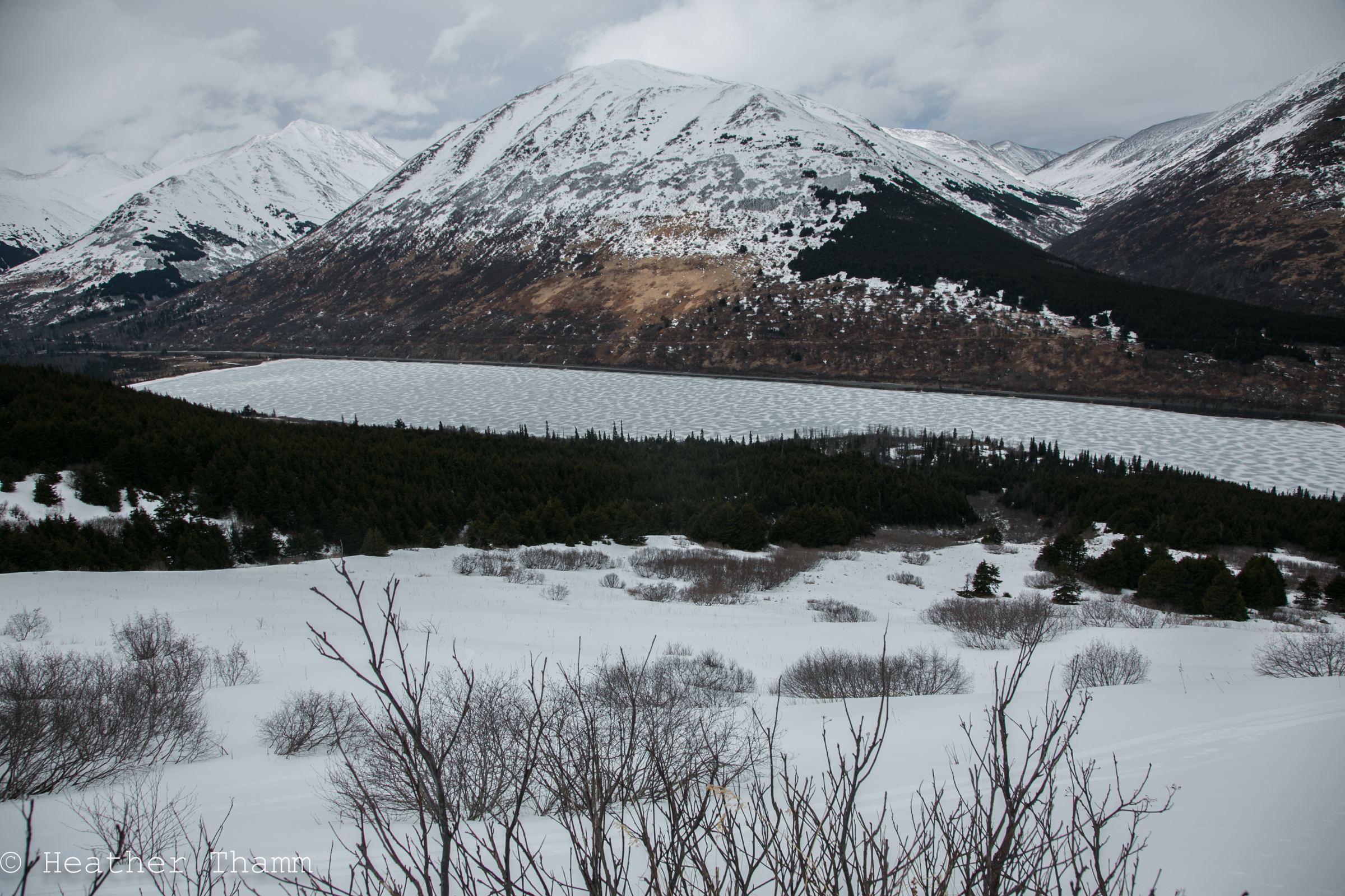
View of Upper Summit Lake from 2000' on Tenderfoot

Wind texture most likely from the last significant precip combined with winds on March 19th.

Pit dug in a location where a small collapse was observed at 2500' on a SW aspect

Pit profile from 3400' on a South aspect

Tenderfoot ridge at 3300'
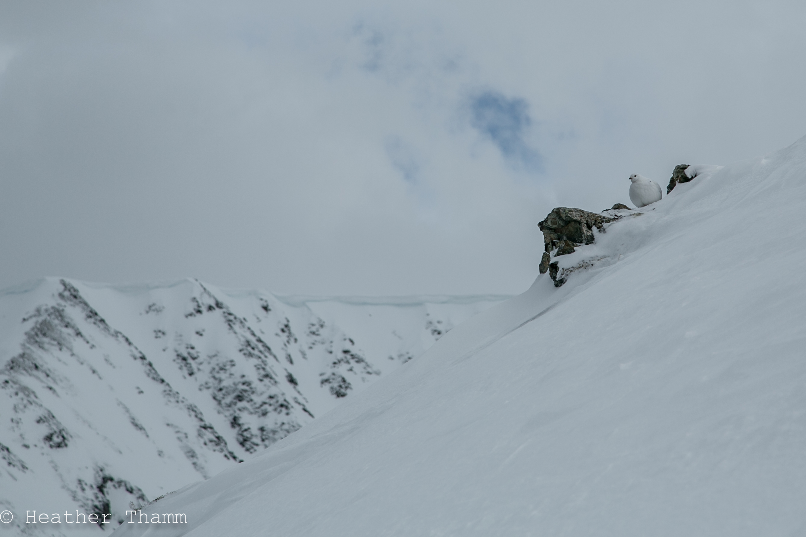
A plump Ptarmigan who sat still while we past
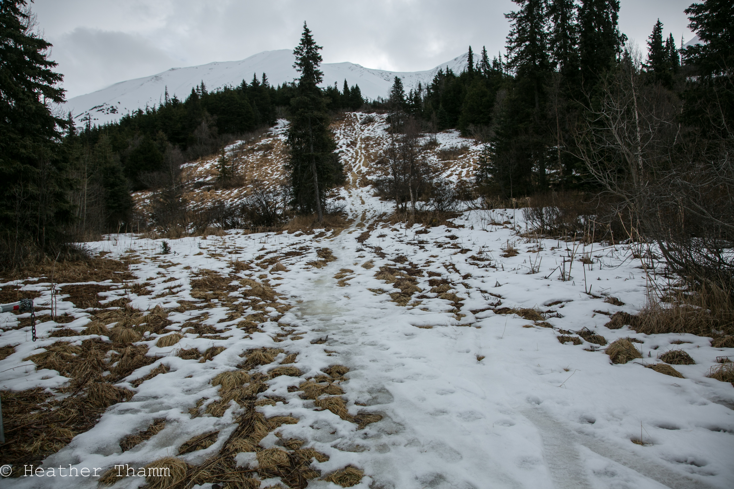
Bottom of Tenderfoot is melting out at 1400'', West aspect

A view of Moose Mountain and the Seward Hwy. Debris on Moose Mountain is not recent.