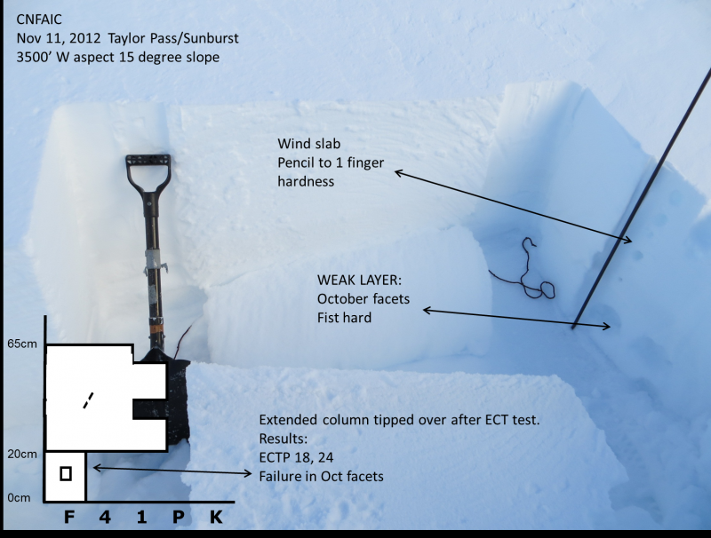
Wind slab from the weekend weather event.
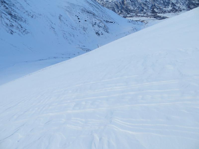
Taylor Pass area - image 2
A quick look in the Taylor Pass area to see the extent of the snow and wind from
the weekend as well as how the Oct facets are faring.
Only 2-3 inches of wet snow fell around treeline that was beginning to freeze by
this afternoon below 1500′. Between 1500′ and 2000′ around 3″ of new snow fell
with a thin mist/temperature crust on the surface. Above treeline and in the
upper elevations around ~4″ of snow fell; no rain or crust was found and snow
was dry. Stiff wind slab was found on exposed ridges.
To say the least, there are quite variable snow conditions between the road
(900′ to our high point 3600′).
Avalanche conditions: Confined to above treeline.
The only avalanche activity seen was sluffing in the few inches of new snow.
We had several collapses and cracking on almost every wind loaded pocket and
slab we stepped on (we did not get on anything steeper than 30deg). The facets
on the bottom of the pack are still talking. They continue to be weak and loose
above treeline but moistening below treeline.
Stability test results point to a pack that has a poor structure with moderate
strength. A tip toe pack right now.
Wind slab from the weekend weather event.
Taylor Pass area - image 2