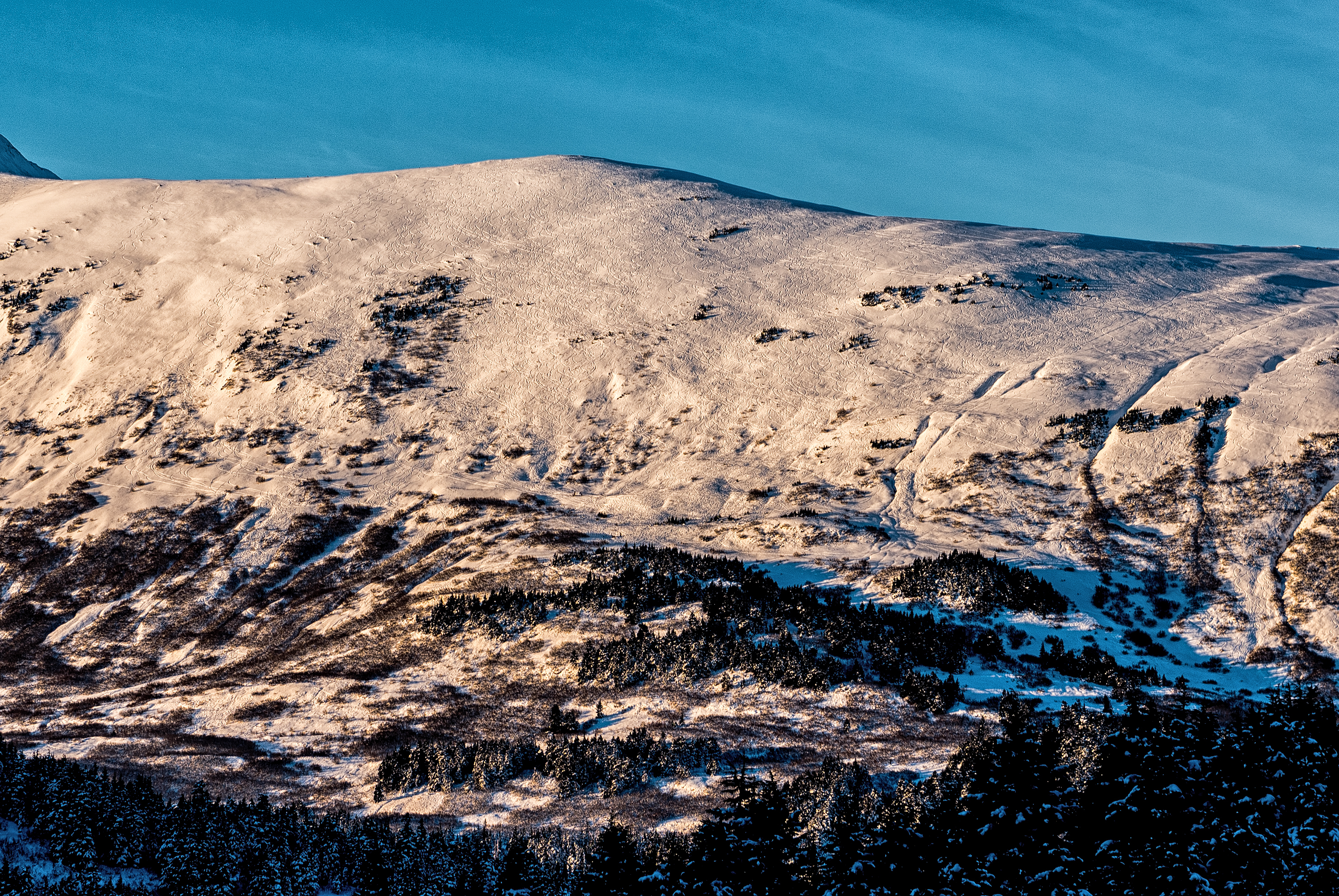
Great observation! CNFAIC will be monitoring the snowpack in these tracked up areas upon the arrival of our next storm to see how well the new snow bonds with the existing weak surface snow.
Many areas like Sunny side, and SW aspects of Tincan and Sunburst have seen a lot of traffic over the last few weeks of clear weather. It is hard to say if the surface snow (a future weak layer) was disturbed enough to truly be considered compacted. A recent study published at the 2016 International Snow Science Workshop says, "High-usage backcountry areas (but still uncontrolled avalanche terrain) may become compacted, developing a snowpack with different characteristics than in lower usage adjacent terrain. A challenge in avalanche forecasting is determining how this compaction alters snowpack stability, if at all."