No big signs. Roller balls on south facing slopes. Surface warming was limited today with broken cloud cover.
One dark streak off the Library on Tincan. Possibly a new smaller glide or small full depth release. Photo below.
Sunburst ridge to weather station and back through Taylor creek. High point 3,800′.
No big signs. Roller balls on south facing slopes. Surface warming was limited today with broken cloud cover.
One dark streak off the Library on Tincan. Possibly a new smaller glide or small full depth release. Photo below.
Melt-freeze grains below 2,500'. Daytime heating was just enough to melt the top 1-2" of the surface by 3pm - limited surface warming. Below 1,500', punchy soft wet and saturated snow.
Above 2,500', moist new snow (4" to 8" of dense new snow).
Only dry surface snow found was on north aspects above 3,500'. This was highly wind affected.
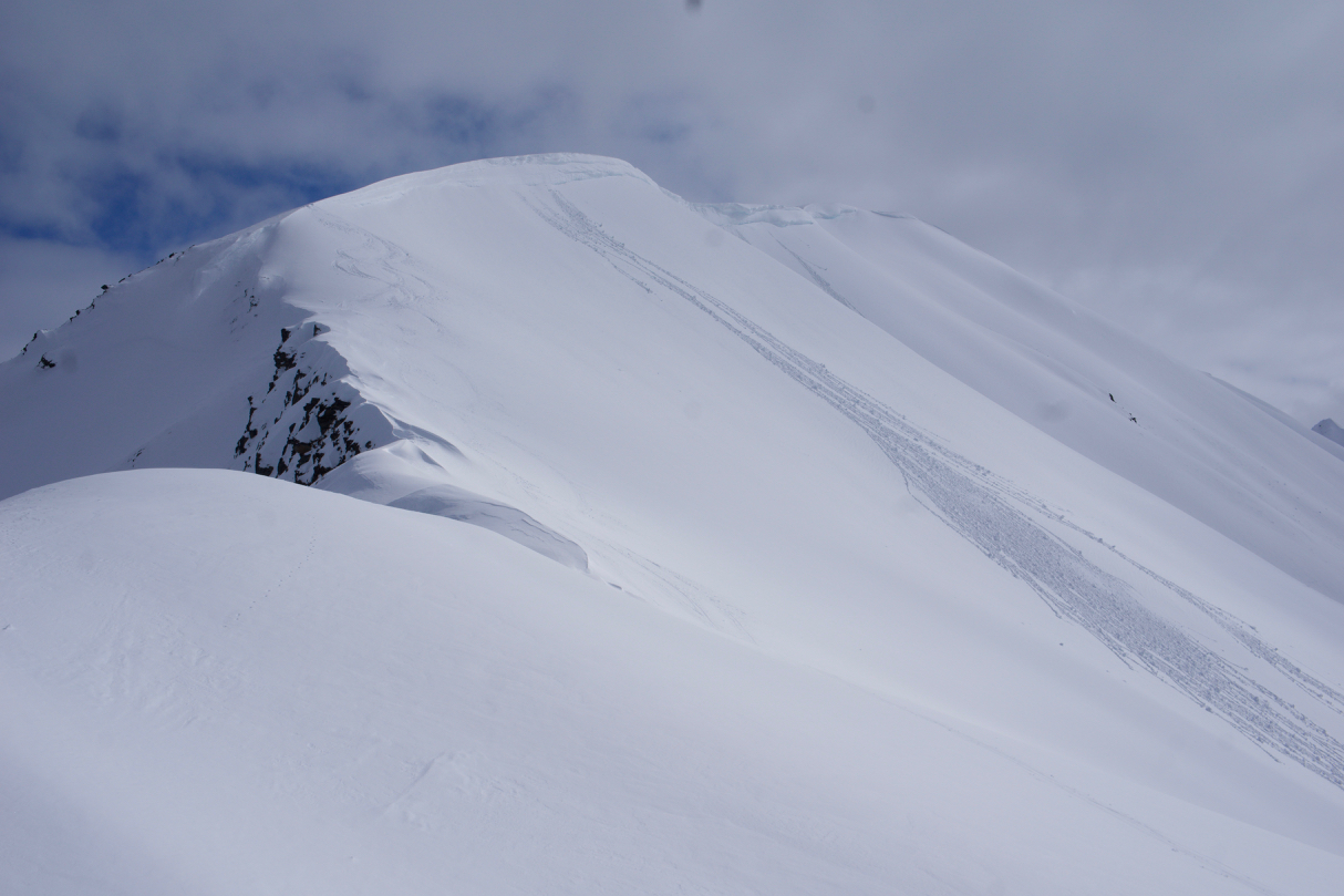
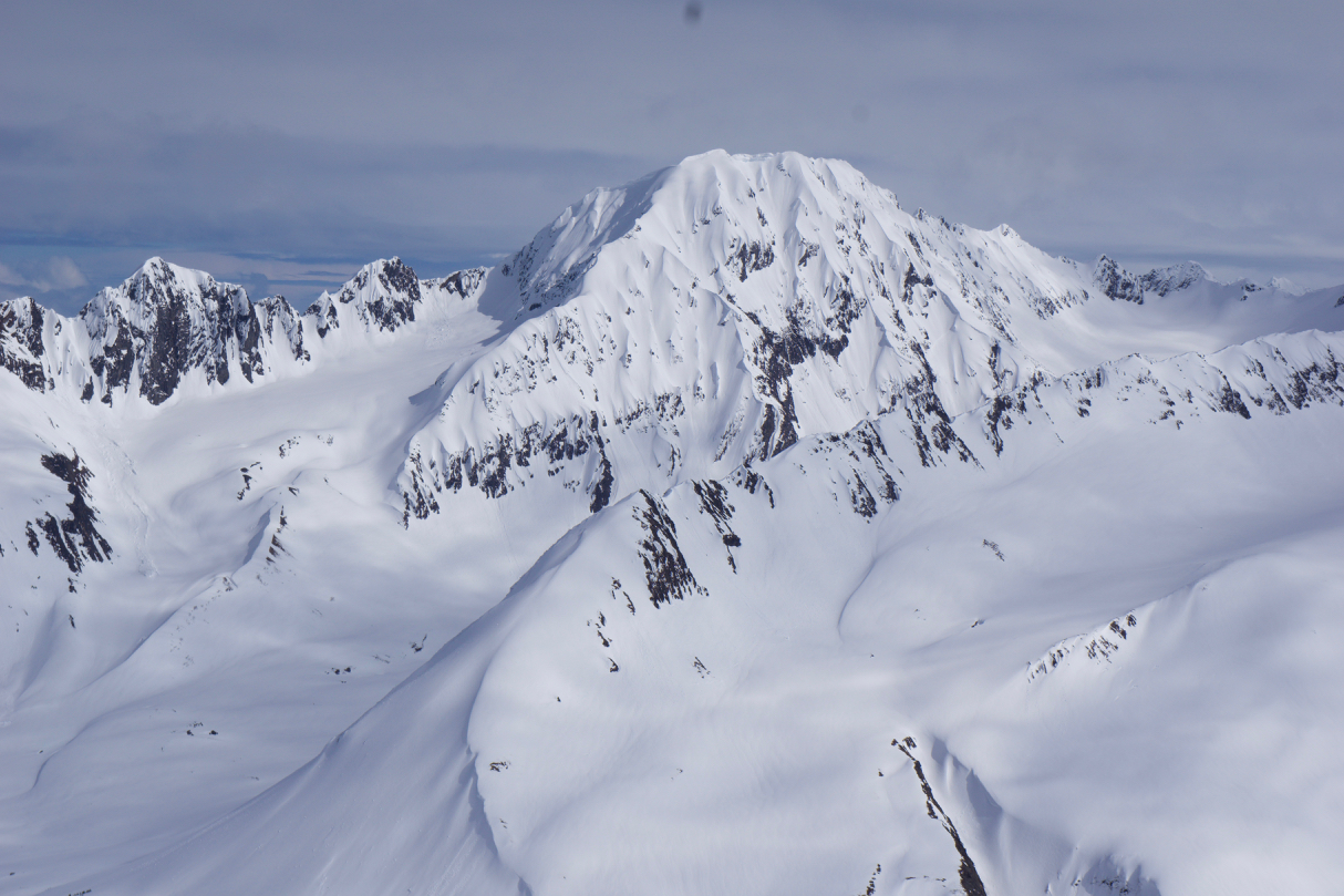
Above 2,500', moist new snow that was showing signs of good bonding on south, east and westerly aspects. No good opportunities to dig on North (north aspects along Sunburst have heavy wind effect and stripping). High elevation northerlies are the most concerning for harboring a reactive faceted layer 1-2' down. It was good to see there were no signs of recent slab avalanches in these areas (i.e., Todd's Bowl, Pastoral, Basketball Chute, Seattle Headwall).

Possible glide or full depth slab in the Tincan's Library. Note the dirty debris that looks the newest!
Roller balls and cornice on Sunburst SW aspect.
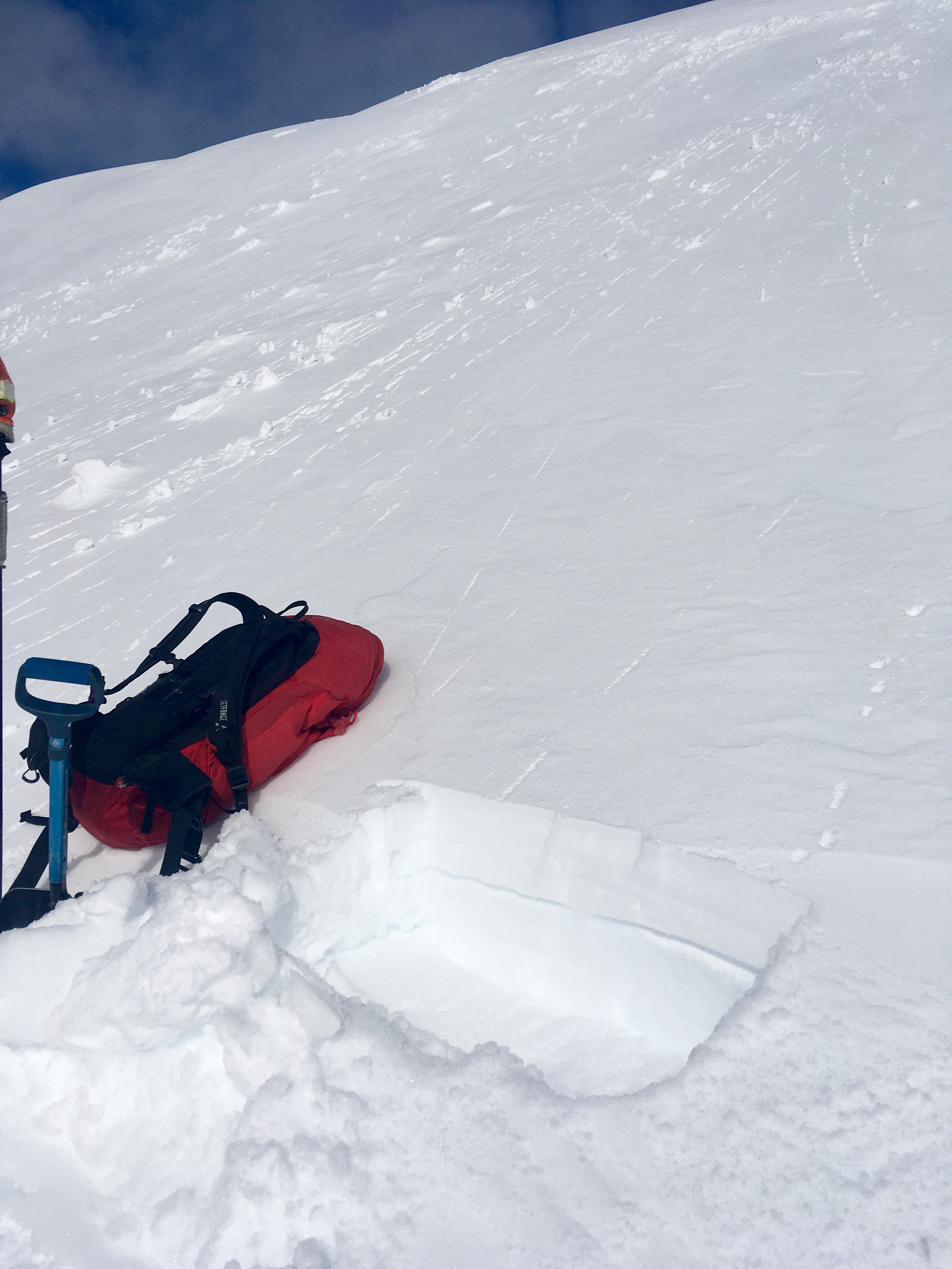
Around 6" of dense new moist snow at 3,600' on SW facing Sunburst.
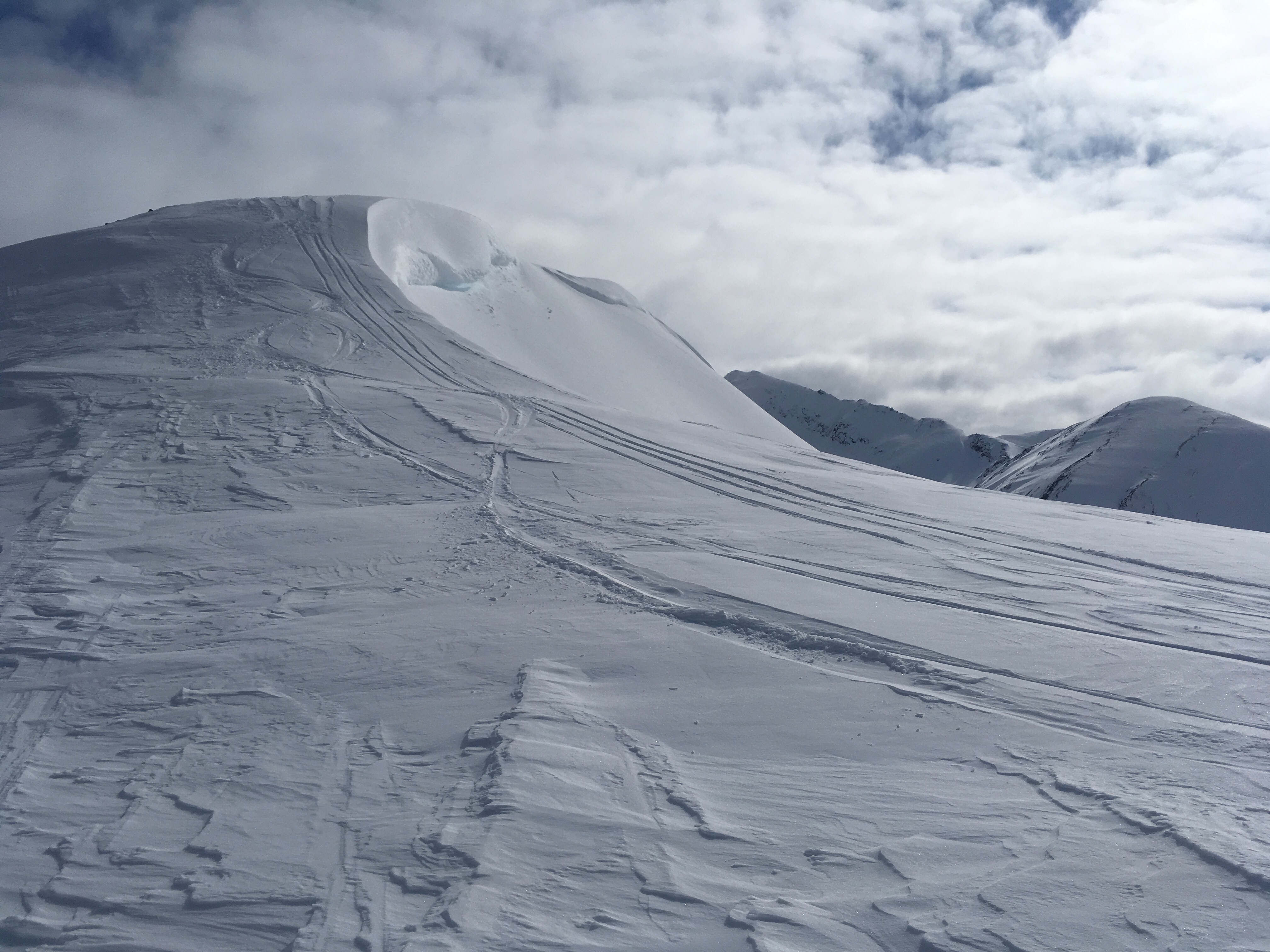
Large cornice and tracks.

Pastoral Peak.
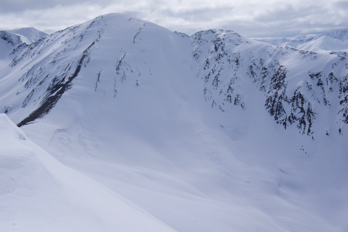
Basketball Chute.
Kickstep.
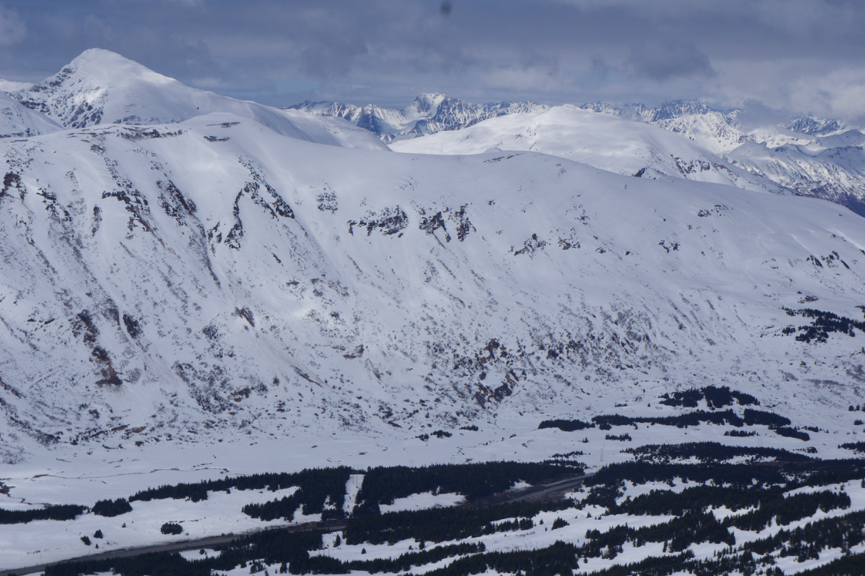
Seattle Ridge with up-track on the looker's right.