| Recent Avalanches? | Yes |
| Collapsing (Whumphing)? | Yes |
| Cracking (Shooting cracks)? | No |
Observation: Turnagain
Location: Sunburst and road obs through Summit Lake
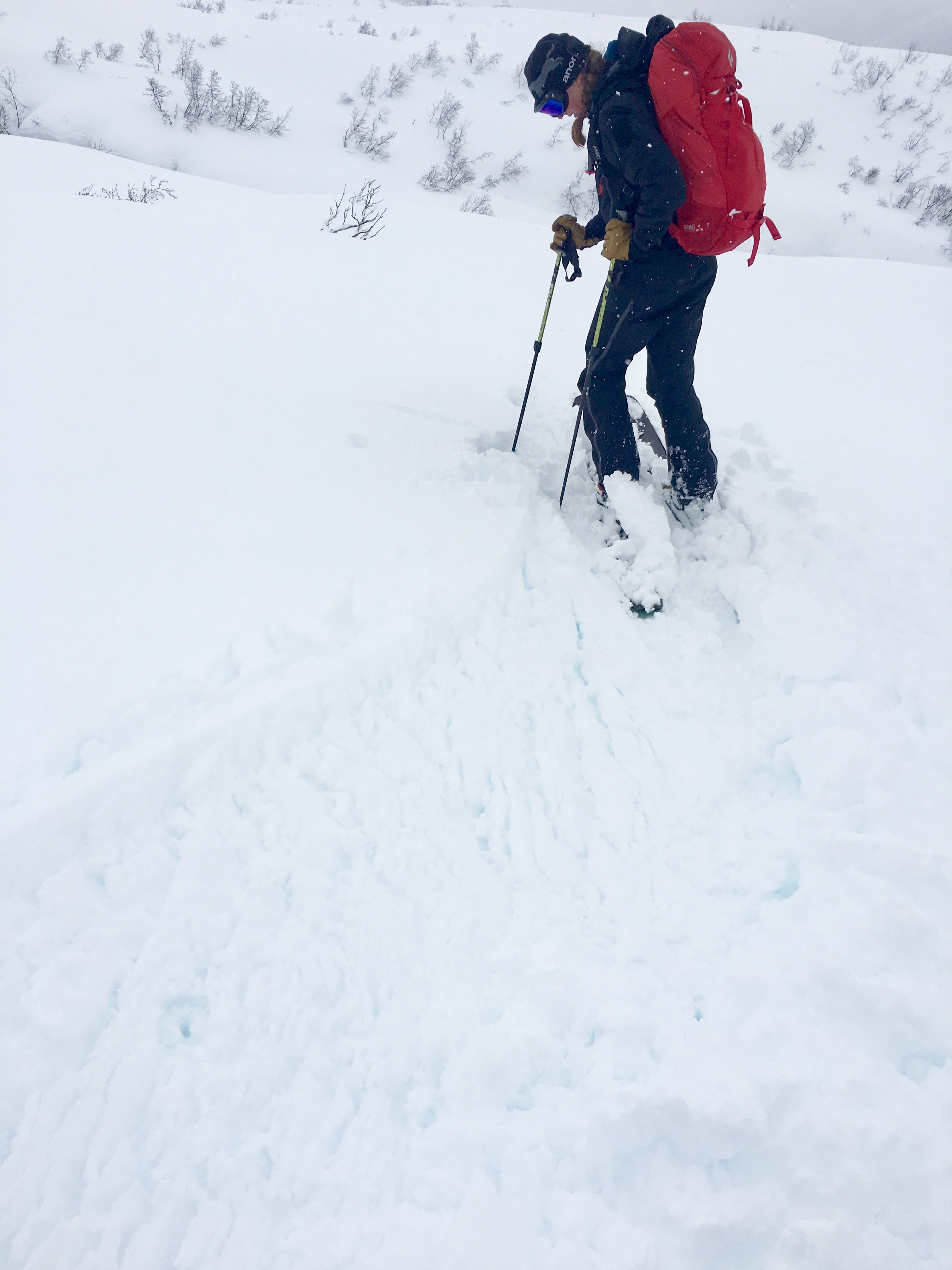
Standard route up Sunburst to 2000′. We found wet saturated snow below today’s new snow (6-8″.) Very poor visibility. Two new avalanche were seen on Seattle Ridge since yesterday afternoon.
We also drove through Summit Lake and saw evidence of several new naturals where visibility was much better.
Obvious signs of instability
Observer Comments
New avalanche debris in two places seen on East face of Seattle Ridge, one between uptrack and motorized lot, and the other on South end of Pass. Was not able to get pictures due to poor road conditions. Couldn't see anything in the Alpine due to poor visibility. Felt a collapse near the Alders at 2000'
Summit Lake zone between 3:30-4pm - good visibility, partly cloudy.
East face of Fresno - storm slab stepped down to older layers
West face of Butch - storm slabs
Moose Mtn - below 2000' - fresh wet point releases
Weather
Poor visibility and snowing most of the day
Temps at road were between 32F and 36F
Rain/snow line ~700'
Winds were 5-15mph below 2000'
Snow surface
6-8" new snow - heavy due to warming temps today.
Snowpack
Under the new snow was a layer of wet snow from yesterday. There were places where this wet snow has drained/percolated further into he snowpack. See pit from 1500'. No tests were performed at this pit.
Dug two pits at 2000', one on a North aspect of a small alder ridge and the other on a SW aspect.
SW aspect - HS= 185cm, pit height 100cm, ECTP14, ECTP16 failed on the March facets. See photo for layer. I did find a 1cm layer of suncrust with buried surface hoar on it (3mm) 45cm below the surface. This layer was not reactive in tests. See photo diagram below for more info.
North pit - HS=230cm, Pit height 100cm, ECTP27 failed 50cm below the surface on a density change between the March 18th snow and the old snow interface.

Snow pit at 2000' on SW aspect of Sunburst

Snow pit at 1500' on a W aspect of Sunburst
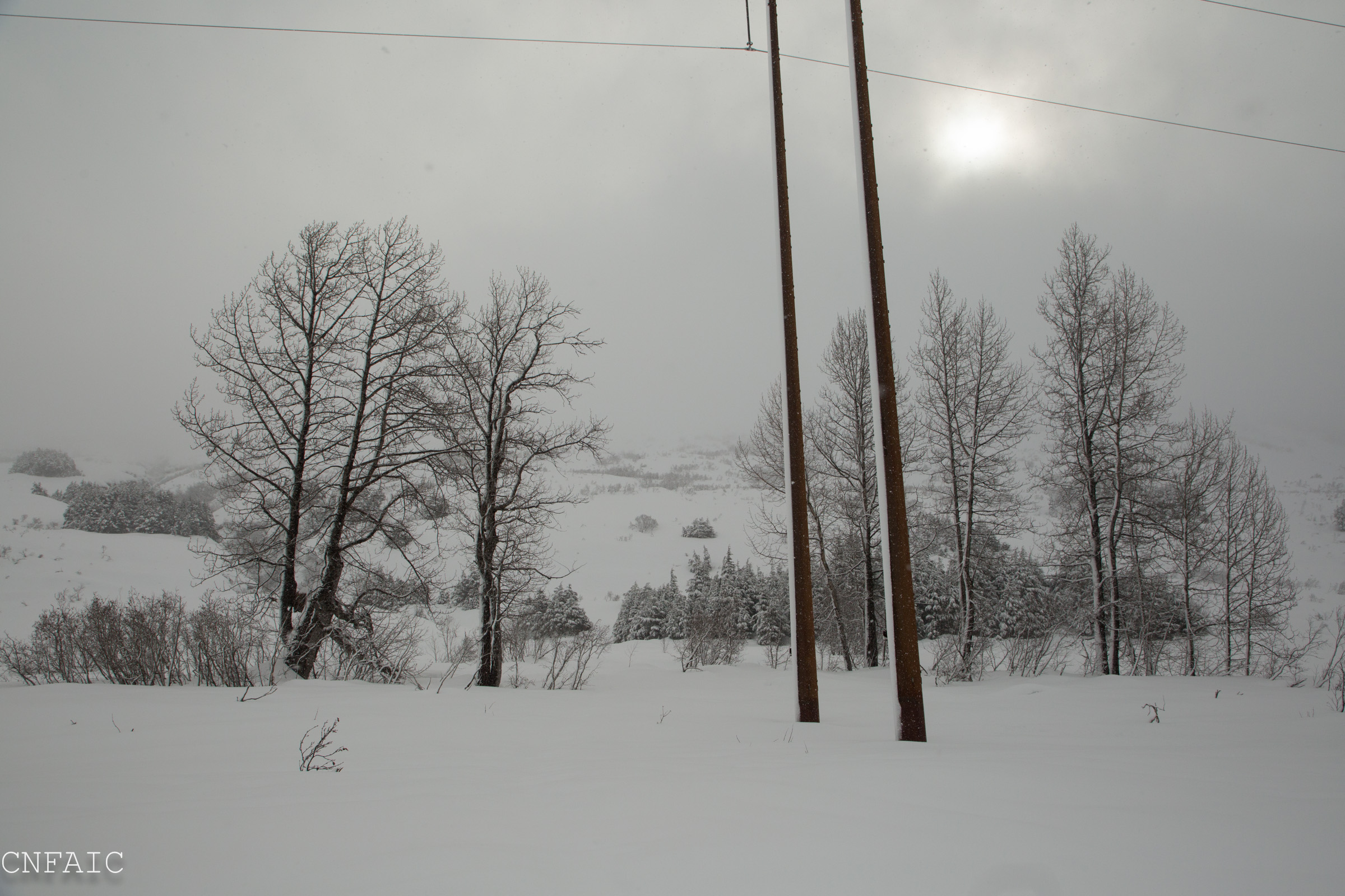
Valley winds were blowing from the NE up to about 15mph and pasting snow to Windward objects, like posts and tree trunks

Visibility at 1900' was poor
Small sluff on North aspect of Taylor Creek
Snow at 1400' was heavy and blue in color due to how wet it was.

Natural avalanche on E aspect of Fresno Ridge that stepped down to older layers (Summit Lake)

Storm slab on W aspect of Butch in Summit Lake

Wet loose activity on Moose Mountain