Route
Sunburst
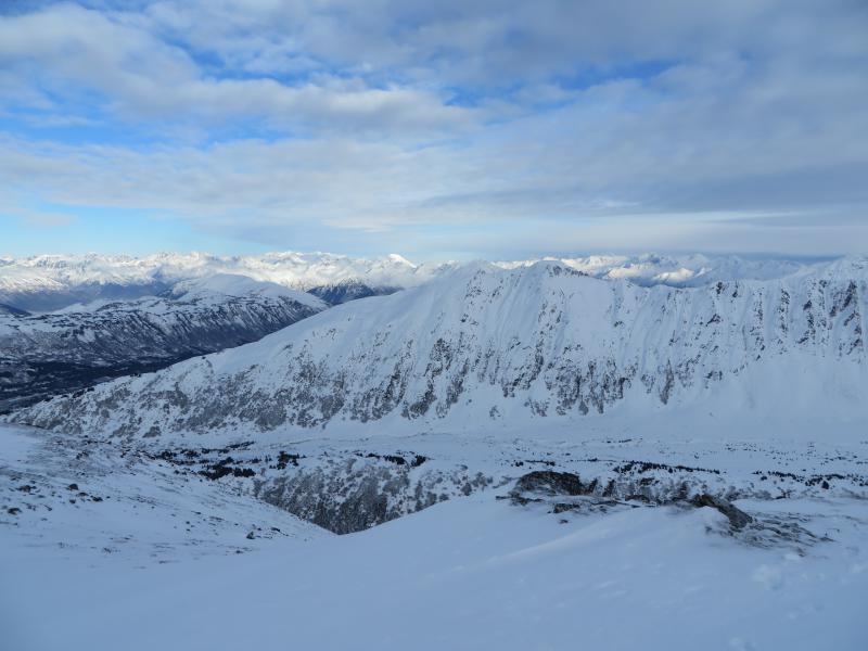
Weather
Wind: Calm, occasional light gusts out of the North along the ridge
Sky: intermittent mid level clouds, overcast, and clear skies
Precip: Light flurries prior to 11am, trace of new snow
Temps: 10 F @ 1,000’ at 10am, 14 F @ 3,500’ @ 2pm
Obvious Signs Of Instability
Recent Avalanches-NO
Cracking-NO
Collapsing-NO
Snowpack Observations
Above 2,500’: 2-5” of loose surface snow. This snow is comprised almost
entirely of near surface facets. Faceting seems to have accelerated over the
last 5 days with striations on individual grains, and facets chained together (see photo).
This layer is sitting on a stout crust up to ~3,200’ in many locations. We are
tracking this layer currently as it has the potential to be a significant
reactive weak layer once buried by a slab.
Below 2,500’ a mixture of large surface hoar (3mm to 5cm) and facets sit on the
surface. Surface hoar growth has been spotty in its distribution during this
last dry spell.
We have a generally weak surface throughout the Turnagain Pass zone. Winds,
precip types, precip amounts and loading rates associated with incoming storms
will be important factors in assessing avalanche potential during the coming week.