| Recent Avalanches? | Yes |
| Collapsing (Whumphing)? | No |
| Cracking (Shooting cracks)? | No |
Observation: Turnagain
Location: Sunburst 2100'
We drove from Girdwood to Turnagain Pass and observed several recent wet avalanches (D2’s) on East side of Seattle Ridge. We also noted several recent glide avalanches on N.Eddies, E. Seattle, a slide path called ‘whiteline’ next to Centerline, MP86 Seward Hwy. See photos below.
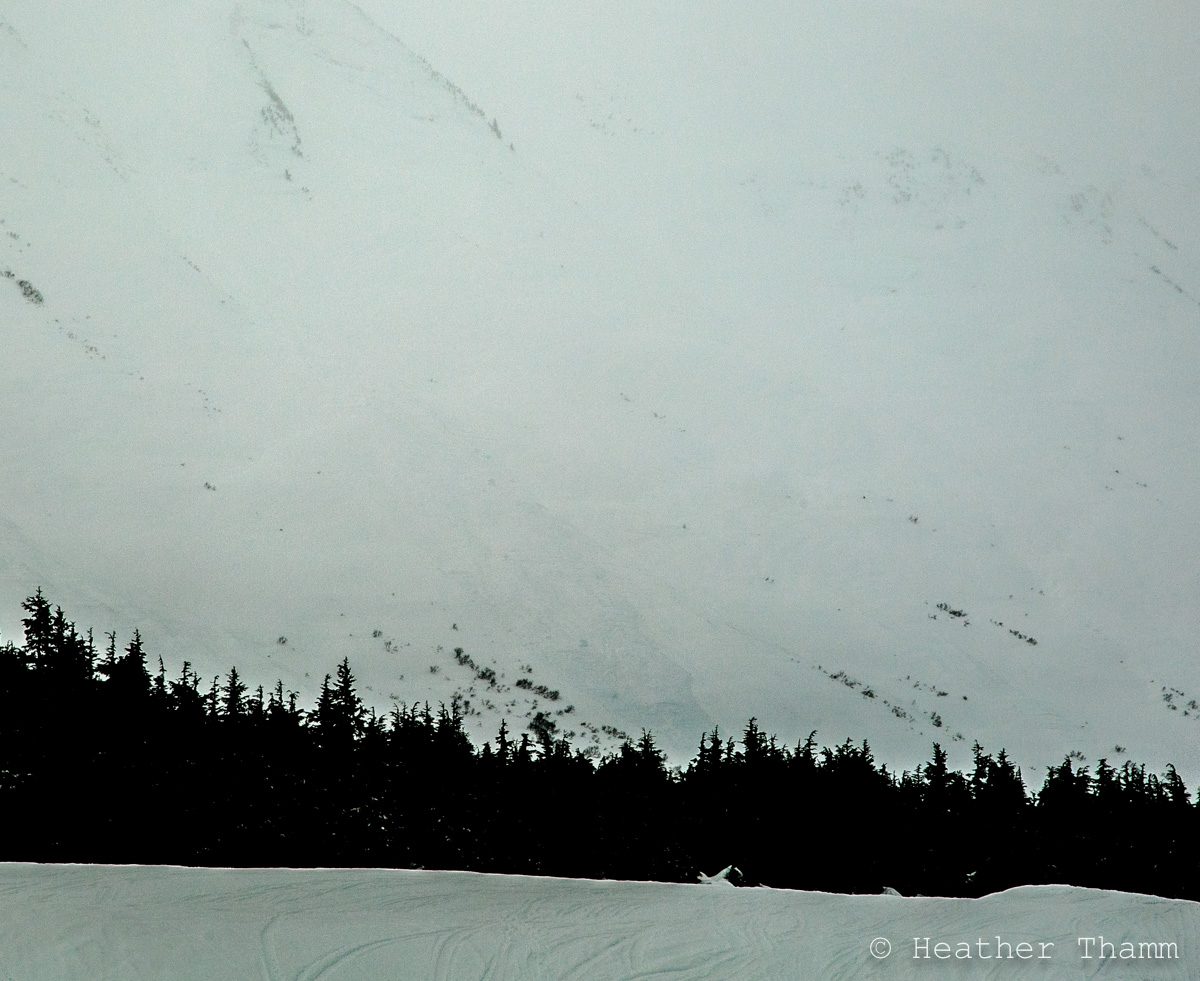
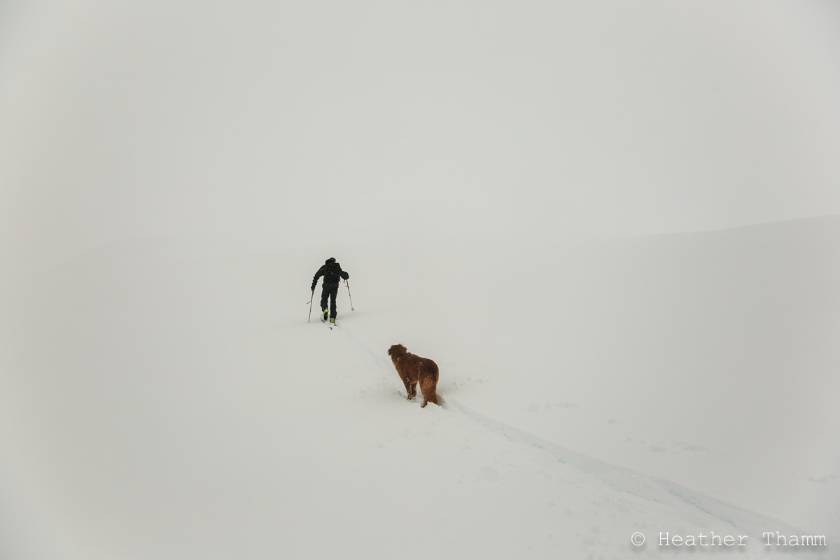
We skinned up the normal route on Sunburst to about 2100′. Rain/snow line was around 1500′ and the snowpack was very wet and saturated to this elevation. Poor visibility and Moderate NE winds made travel above treeline challenging.
Obvious signs of instability
Observer Comments
Recent Glide Releases: N. Eddies, Seattle Ridge (very small,) and 'Whiteline' slide path along the Seward Hwy.
Wet Slab: Northeast aspect of Seattle visible from Ingram Creek near Turnagain Arm
Unknown: D2.5 wet avalanche debris, could not see starting zone, may be a glide release? D2 wet debris between motorized lot glide release observed yesterday just South of the Uptrack.
Weather
Sky was obscured
Raining below 1500', Snow S1 above
NE winds (20, g30mph)
36F at 1000'
Snow surface
1000'-1600' wet saturated snow - boot pen=crotch deep
1600' - 2000' 3" dry snow on wet snow below
2100' - Graupel falling on dry snow
Snowpack
Pit at 2100' - SW aspect, 29* slope, HS=205cm, Pit Height=115cm, Several 4F to 1F/P density changes within the top 1 meter of snow, all density changes within new snow from the last 7 days. Tests revealed no propagation potential, but had failure at a density change (4F/1F) storm snow interface 13" (33cm) from the surface. Test Results: ECTN11x2, CT13, CT15 (RP) failed 33cm from the surface. Found a moist m/f layer 90cm below the surface. See pit diagram below.
~2000' wet snow layer near surface disappeared.
wet debris on Seattle between Moto lot and up track. Could not see starting zone.

New wet debris covering old debris in channeled terrain across the street from Seattle Ridge

Wet slab on Seattle Ridge visible from Road near Ingram Creek

Glide release on N. side of Eddies
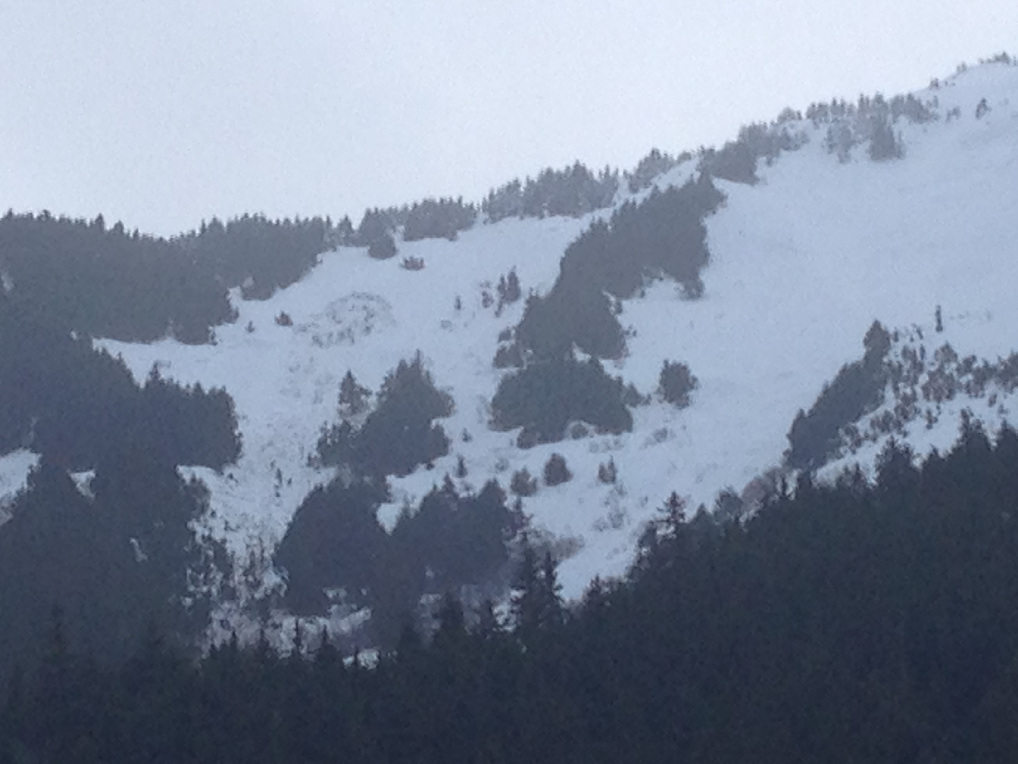
Glide release on 'Whiteline' near Centerline slide path, Seward Hwy

Small glide release near moto lot on Seattle Ridge

Pit at 2100' on Sunburst
Awesome visibility today!!!