| Recent Avalanches? | Yes |
| Collapsing (Whumphing)? | No |
| Cracking (Shooting cracks)? | No |
Observation: Turnagain
Location: Sunburst
Standard Sunburst skin track to 2880′
Obvious signs of instability
Observer Comments
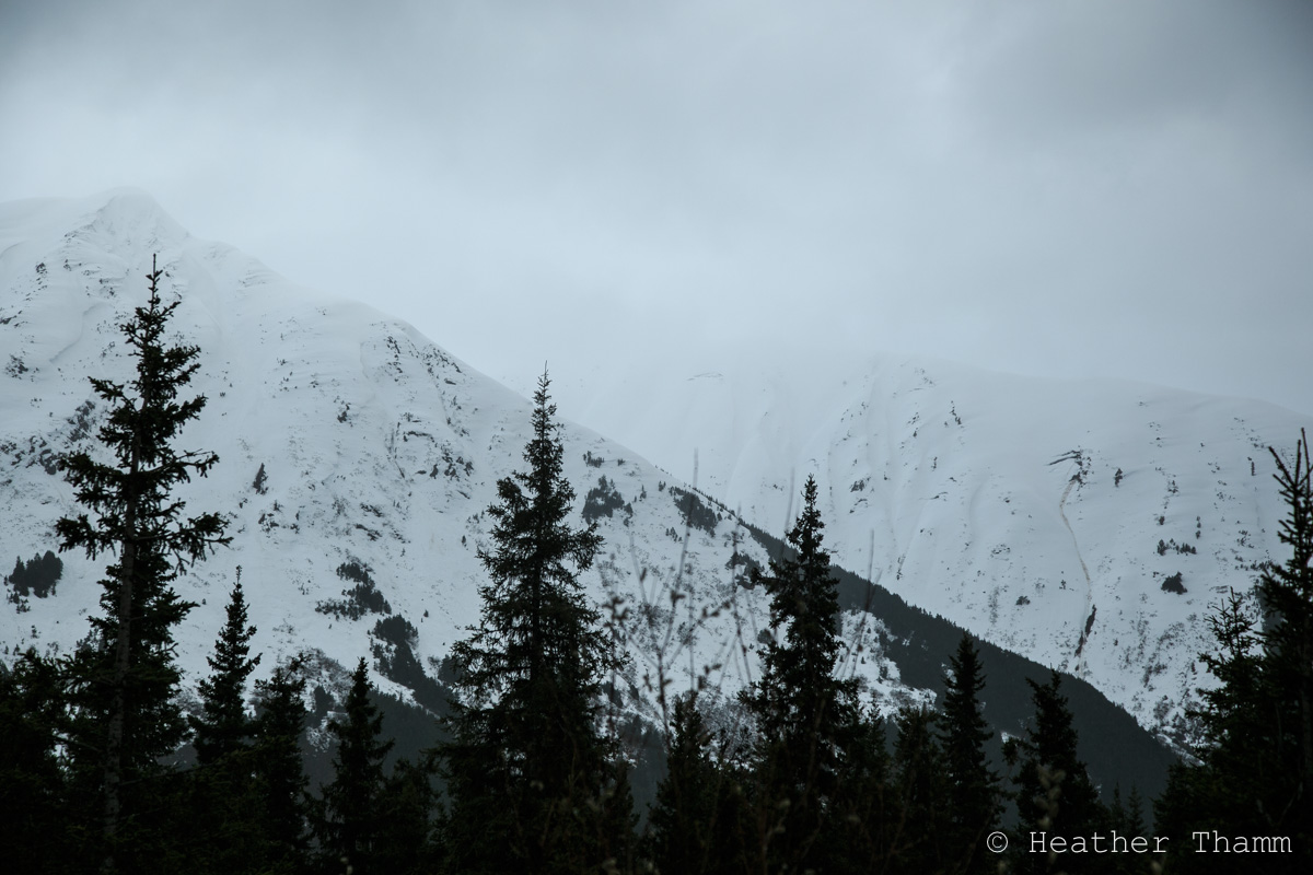
Recent glide avalanches on Magnum and Cornbiscuit, obvious glide crack growth
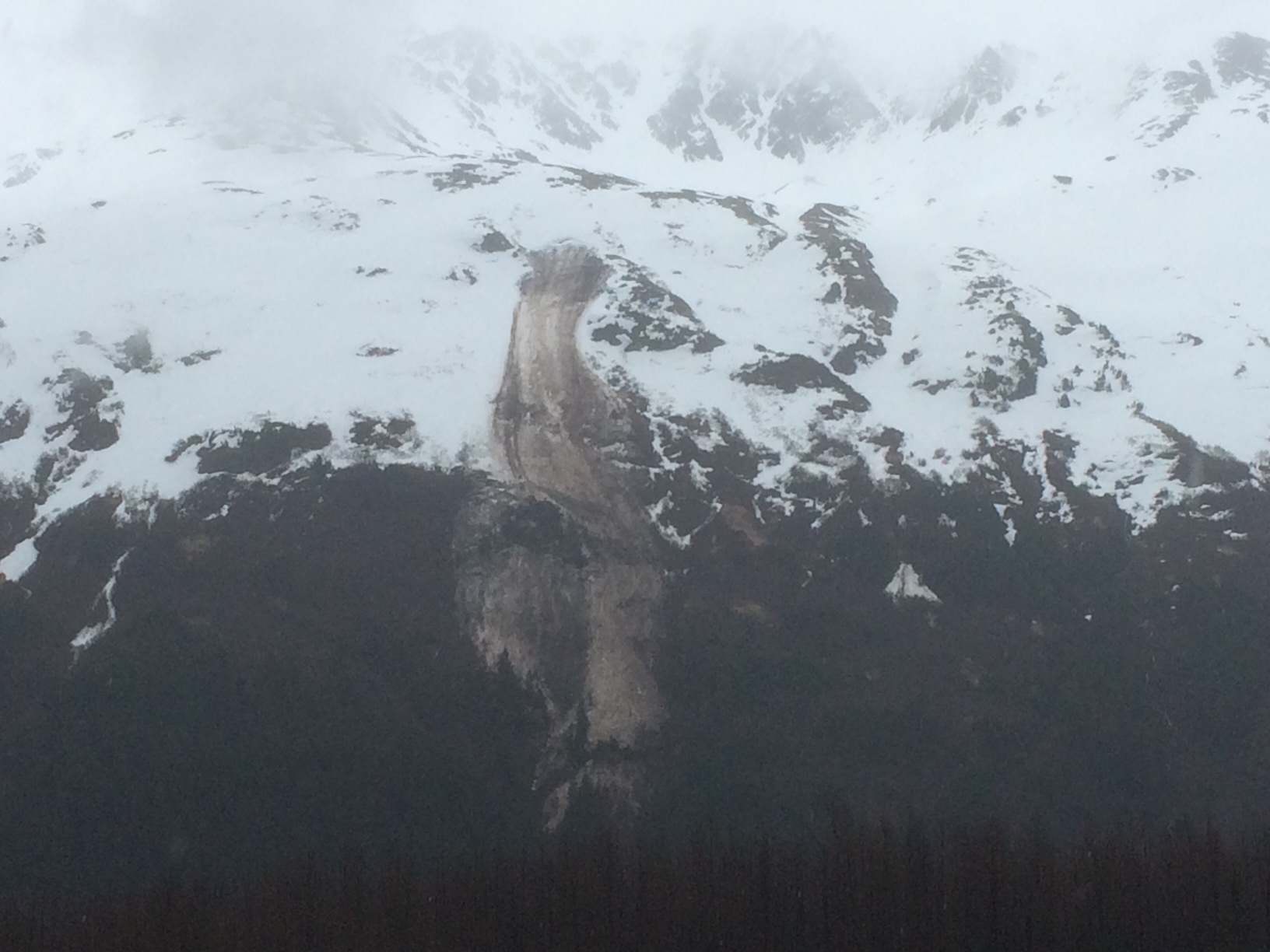
Recent glide avalanche in Lynx Creek
Recent glide avalanches in Portage Valley
Weather
Overcast to obscured skies, light rain showers
Temperatures: 40Fs @ 1000', 30Fs at 3000'
Light to moderate easterly winds
Snow surface
1000-1800' wet, unsupportable
1800-2000' wet, supportable
2000-2880' 2-5" wet-moist snow over melt freeze crust
Snowpack
Dug at 2880' SW aspect 25 degree slope. Performed a Kool-aid test to look for potential layers where rain might pool in the snowpack and affect stability. Dug down 100 cm. Top 50 cm is wet melt-freeze grains and melt-freeze crusts. The bottom 50 cm is moist rounds. There was a layer 25 cm down of 4F wet melt freeze grains sandwiched between two crusts that failed in our post wetting compression test (CT 13 SC). Did not perform a ECT. If this structure is at all uniform across the slope this could be the setup for wet slab avalanches if there was a significant rain event. However this is only one data point and this needs more investigation. One of the questions for the weeks to come is when and if there will be a "shed cycle" in the Alpine.
No roller ball activity or wet loose sluffing while slope testing.

Magnum and Cornbiscuit glide avalanches
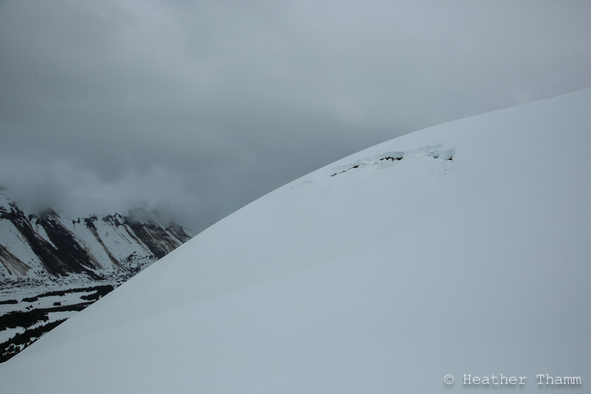
Sunburst glide crack
Glide activity on Twin Tip

Seattle Ridge

Glide avalanche Lynx Creek
Portage Valley glide avalanche, Photo: Ryan Lewthwaite
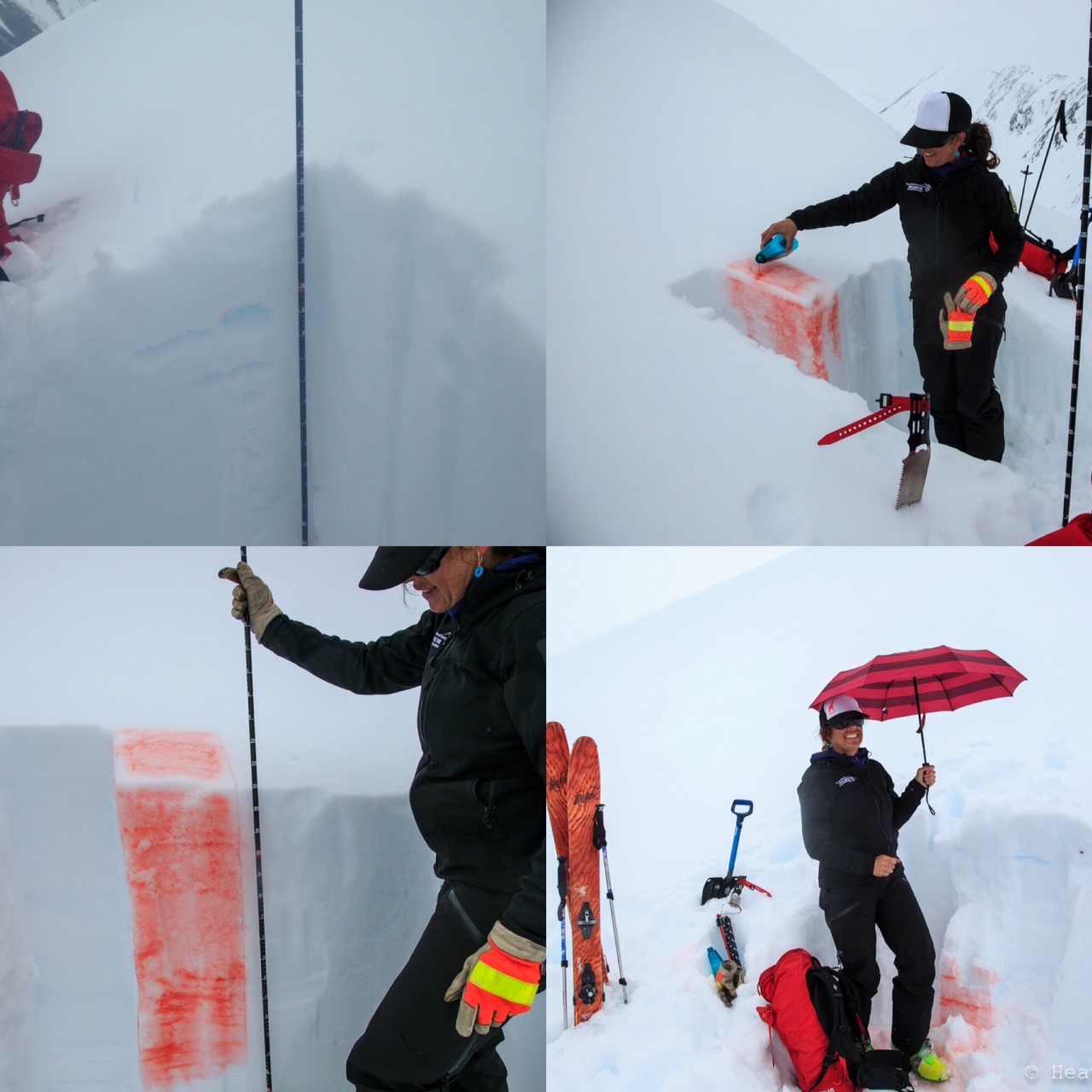
Kool-aid test in the rain

Seattle Ridge up track and the glide carnage