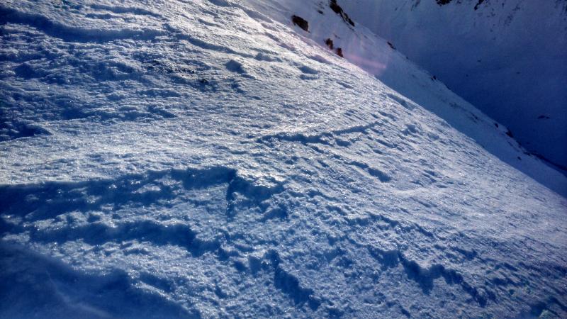
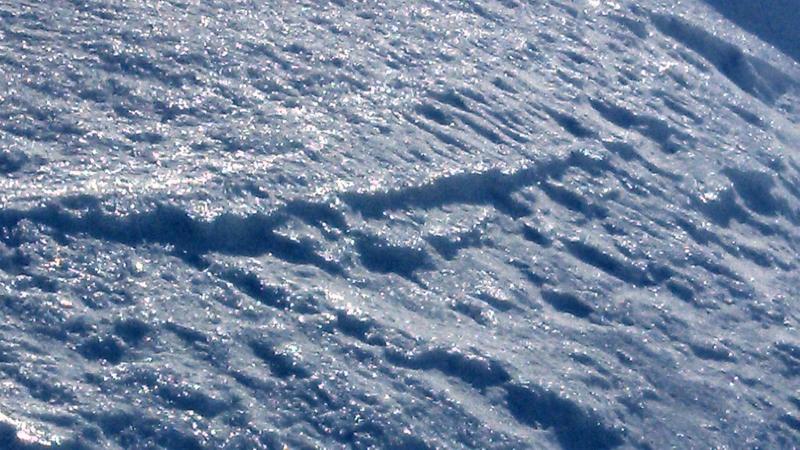
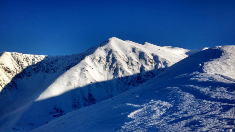
Very Light snow from the Nov. 10th storm, looks as though its been through
some warm cold cycles. There are definite signs of point releases mostly on North
facing slopes but also on West and south facing slopes. Probably from warm weather
causing the storm snow with no base to slide on ground surface. The surface snow
shows signs of melting and refreezing and then forming surface hoar throughout the
cold- clear weekend. Also signs of wind layer above about 2500 ft. Warm Spell
followed by a windy cold spell makes for some weird surface ice layers that won’t
be good as we start to accumulate more snow. However the snow pack is still very
thin (10-15 cm), but good to ski. Watch out for rocks and grass clumps. Very light
dry snow. The top layer previously mentioned is not very thick as an ice layer
except on the ridge tops where the most sun and wind have been hitting. Snow seems
to be less affected below 2200 ft or so. Snow is thin.