Wet point release on steeper south-facing slopes; very rapid cross-loading on west- and east-facing slopes
Observation: Summit
Location: South and west faces
Observer Comments
Weather
Generally heavy snow falling from ridgeline to road until ~2pm, followed by clearing and rapid change and increase in wind direction from NNE through the day to southerly. The shift was very abrupt and can be observed on the Fresno wx station. Winds picked up quickly and snow streamers became visible blowing across west and east facing terrain, resulting in sudden cross-loading of lee-side chutes. Wet nature of fresh snow allowed cornice growth to take place immediately and visibly. Expected to see more reaction on exposed higher terrain such as Raven Ridge but nothing significant observed prior to 5PM.
Warm ambient temperatures resulted in very quick, shallow, wet slides to occur on steeper south faces once sun came out at ~2PM. Appeared that the more recent storm snow was the reactive layer. A good reminder to give south faces more space as season progresses.
Snow surface
~6" of heavy wet snow at road, ~18" fresh dense storm snow to 2500' Rain crust present beneath fresh snow to ~2000-2200

Rapid crossloading on Ravens. Snow streamers visible
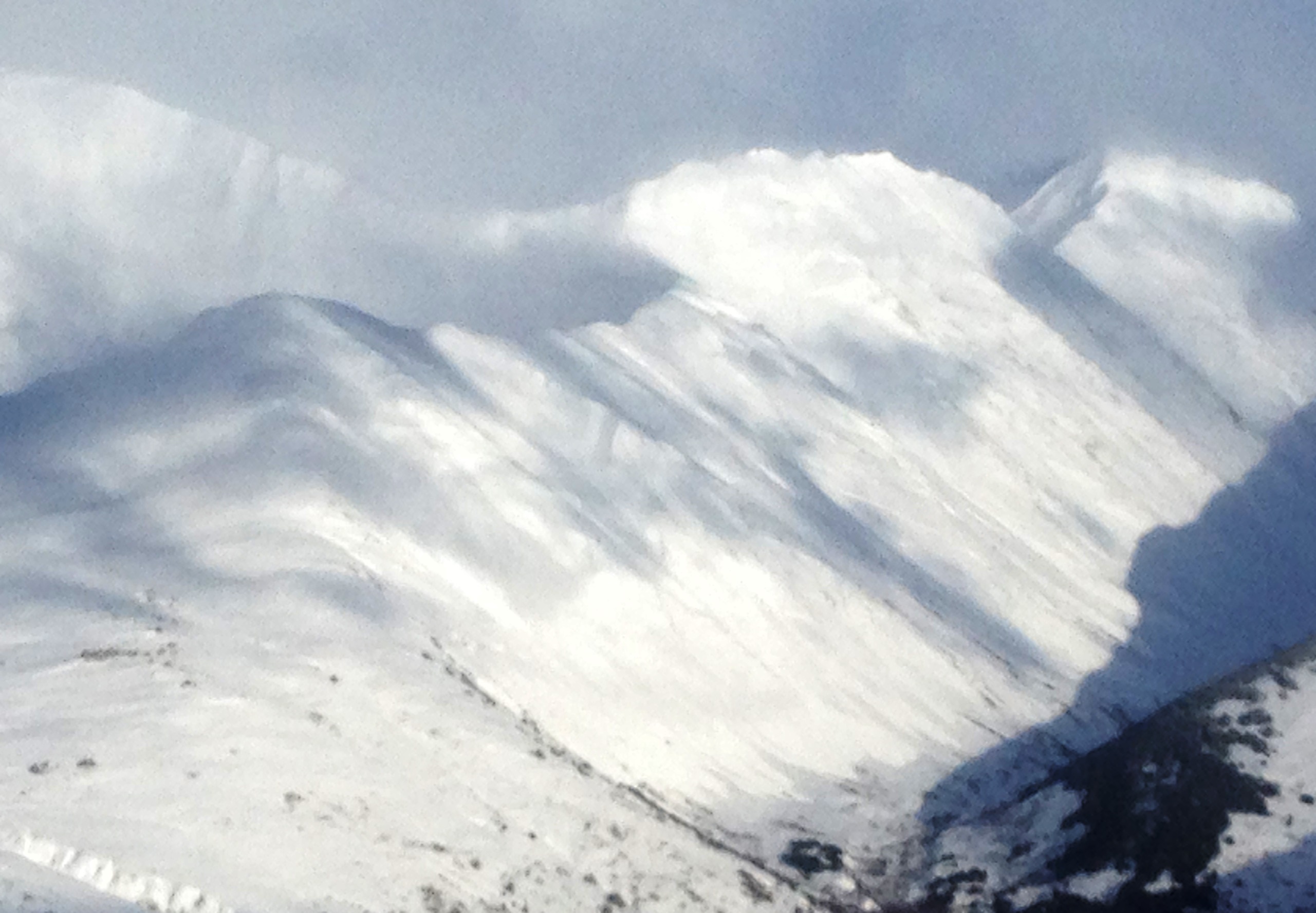
Wet slides on south facing