No signs of instability seen.
Observation: Portage / Placer
Location: Skookum Valley
Rode up into the Skookum drainage from the Placer River to take a look at this area that we don’t get much information from. A lot of folks have been out enjoying the past 10ish days of good stability, clear skies, and light winds. We wanted to take a look at the surface conditions before tomorrow’s snowfall.
Observer Comments
Weather
High clouds and chilly. Temps around 5F warming to 20F by the afternoon.
Winds were light from the southeast along our high point at 4,300'.
Snow surface
Pretty simple really. Sun crusts on aspects on the south side of the compass. On the north side there was 2-8" of soft faceted snow over harder snow. I was surprised to see how much the harder windslabs/crusts from a week ago have been eaten away by the cold temperatures and have turned to softer snow (technically near surface faceted snow).
Note - surface hoar was seen in valley bottoms but none seen above around 2-300' or so.
Snowpack
No pits dug today. No buried layers of concern in this area that we know of.

Sun crusts on south facing slopes

Loose faceted snow on north facing terrain and low angle terrain.
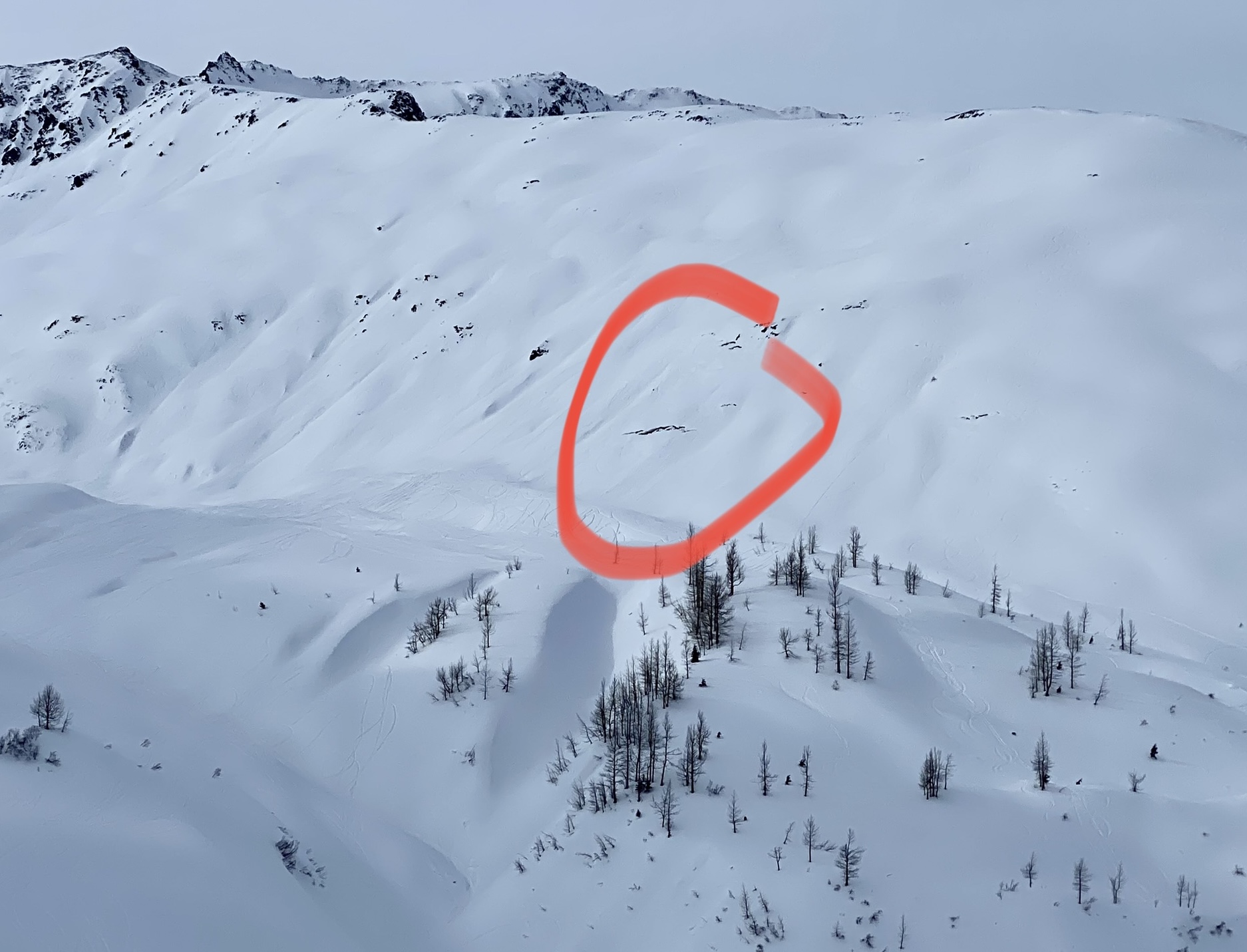
Glide crack seen above the Skookum glacier on the south side of the valley.
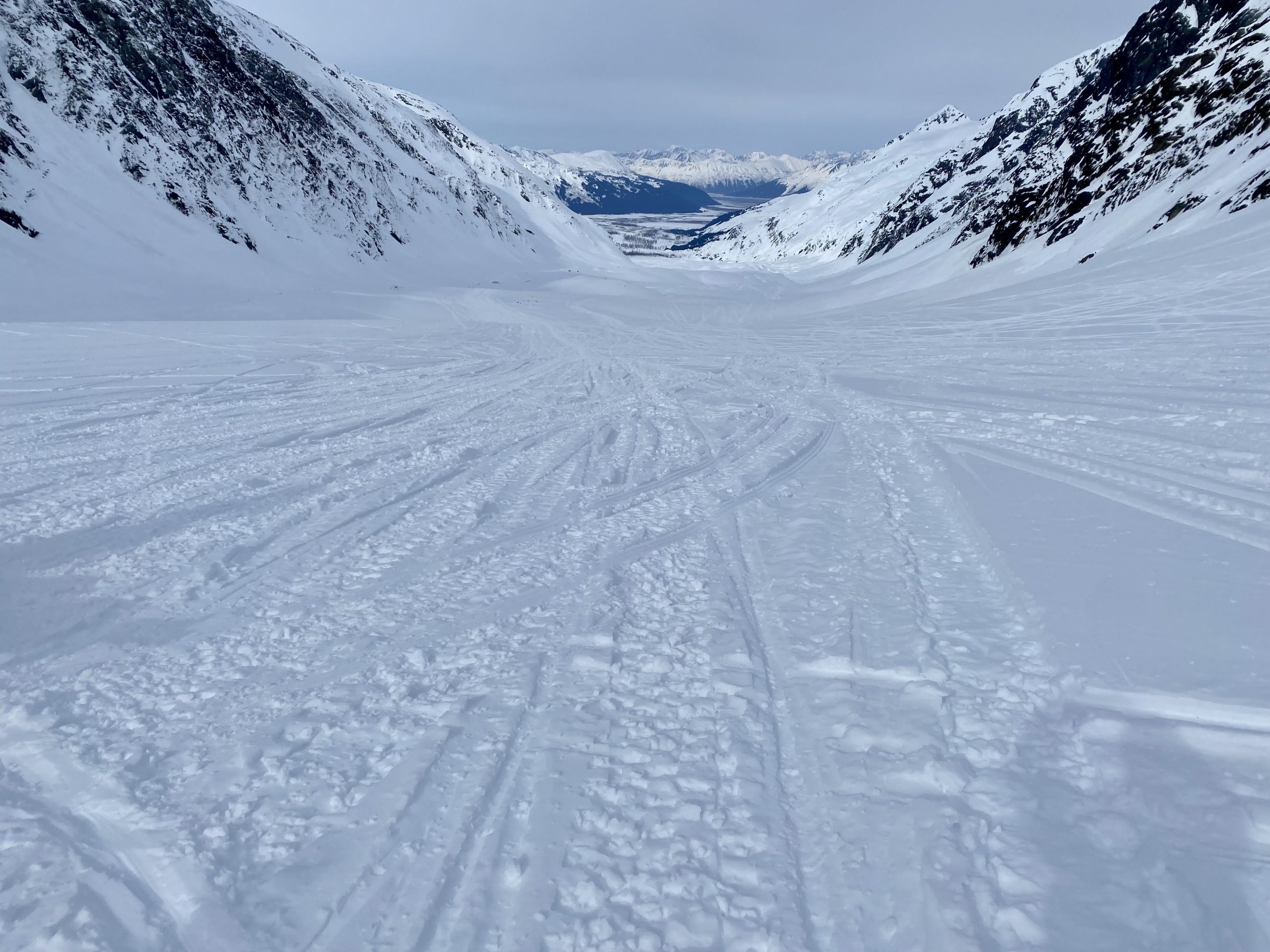
Looking down Skookum Glacier - lots of tracks!

Soft snow on northerly apsects - again lots of tracks
Great 2 weeks of mostly clear skies