| Trigger | Natural | Remote Trigger | 0 |
| Avalanche Type | 0 | Aspect | Unknown |
| Elevation | unknown | Slope Angle | unknown |
| Crown Depth | unknown | Width | unknown |
| Vertical Run | unknown |
Avalanche: Turnagain
Location: Silvertip Creek
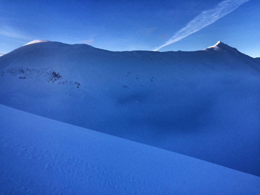
Went up Silvertip creek – noted large debris pile at bottom of the creekbed. Debris rolled uphill onto the skin track on the opposite side (where we were skinning). Couldn’t see the crown until we climbed out of the valley fog at about 3000ft. Noted 1-2 mile long continuous crown along entire ridgeline. Many areas ripped out to the ground. Dirt visible on hillside and amongst debris pile at bottom. Crown went out of sight to the northwest, might be longer.. Aspect of slide was ENE. Active windloading on east-facing slopes while we were nearing top of Silvertip. winds 10-15mph.
| Recent Avalanches? | Yes |
| Collapsing (Whumphing)? | No |
| Cracking (Shooting cracks)? | No |
nothing where we were.
Chilly in valley bottom, warm inversion layer in the fog, cold above fog.
crust at road level, great untouched, well bonded powder from 1800ft upwards. New frosty flowery crystals forming in fog layer and above.
no pit.
