| Recent Avalanches? | Yes |
| Collapsing (Whumphing)? | No |
| Cracking (Shooting cracks)? | No |
Observation: Turnagain
Location: Seattle Ridge - Uptrack
Snowmachined to the lower reaches of the motorized up-track to take stock of the new snow instability.
Obvious signs of instability
Observer Comments
Despite the very low visibility, we think we saw some fresh debris in a few gullies along the Southeast face of Seattle Ridge. The debris was shallow and only running to where the slope angle begins to lessen. These are most likely wet/damp loose snow avalanches.
Weather
Rain up to 1,000' and snow above 1,200' - 'snain' in between. Temperatures were ~32 at 1,800, our high point. Wind was light to moderate from the North.
Snow surface
At 1,800' there was ~6" of dense snow over 2" of lighter snow. This sat on a stout crust.
Snowpack
Storm slab and wind slab issues in the new snow:
An upside-down storm has created soft storm slabs. See video. Yesterday's 6-10" of low density snow is now covered with a layer of 6-10" of dense snow. The low density snow has compressed under the dense snow and settled to be only 2-3" thick - but it still is acting like a weak layer.
Up higher where the wind is blowing, slabs are likely forming on this low density snow and may be releasing as this set up can be touchy.
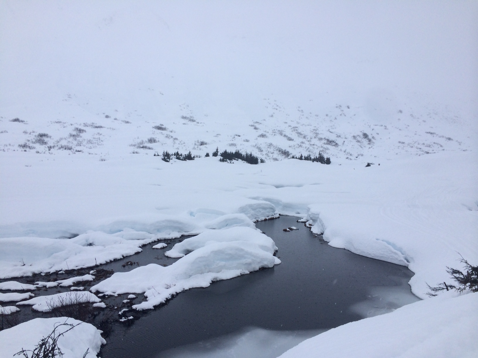
Open water in the flats under Seattle Ridge and very low visibility
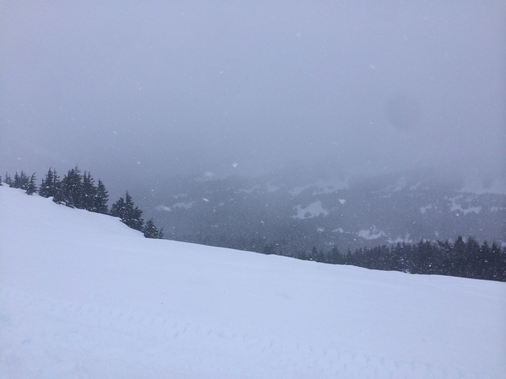
Low viz at the Pass looked like today