
Dense fog plus strong solar radiation seemed to be contributing to the already moist snowpack. The surface crust was starting to become moist and the snow below was Wet to Moist almost to the ground.
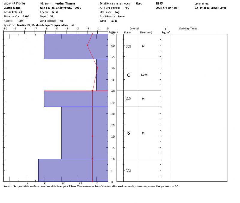
Pit was dug on a East aspect on a 36* slope. HS=65 and seemed average in that particular area.
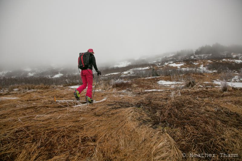
1000-1300' many bare areas w/out snow
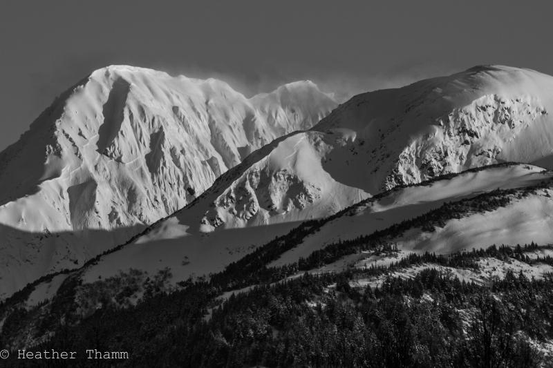
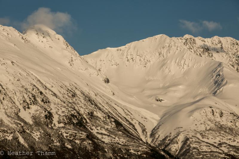
Photo taken from Seward Hwy near Placer River, looking towards Portage Valley. Several older fracture lines are visible from Feb.22 storm.
Some debris from Feb.22 storm. This is the peak between the Twentymile and Portage Valley as seen from the Placer River on the Seward Hwy