| Recent Avalanches? | Yes |
| Collapsing (Whumphing)? | No |
| Cracking (Shooting cracks)? | No |
Observation: Turnagain
Location: Seattle Ridge front side
Rode around the front side of Seattle Ridge, stopping to dig a few pits at 1700′. Very wet snow up until about 1400′, when surface snow became dry. The winds had clearly been blowing hard above 1600′, with some slopes blown all the way back down to dirt. We saw one crown from a small storm slab at about 1300′, and got mixed results from stability tests on the interface between the 1/10 and 1/13 storms. Visibility was limited until right at the end of the day, so the conditions in the Alpine are still a big question mark. Hopefully we can get some more info in the next few days.
Driving back to town I noticed the crown from a large natural avalanche on Wolverine, roughly 750′ wide and running for over 1000′. There seemed to be several sympathetic avalanches that released in the same bowl. The light was fading fast so I was unable to get a decent photo.
Obvious signs of instability
Observer Comments
Only one small storm slab on Seattle Ridge, but visibility was limited until right at the end of the day so it is hard to say if there was any activity since yesterday's storm.
There was a crown from a large natural avalanche on Wolverine. It looked like there was a ~200' wide wind slab that broke right under a cornice (likely triggered by cornice fall?), and a 750' wide slab that had also released in the same bowl. The crown looked to be around 3-4' deep and ran for around 1000 vertical feet. It is possible that the two avalanches released sympathetically. Both looked to be recent. It is worth noting it was almost dark by the time I saw this, so the details may be a little off.
Weather
Cloudy skies in the morning with a light mist in the parking lot at the top of the pass. The sun broke through right at the end of the day. Winds were light, but we stayed down low for most of the day.
Snow surface
About 2' of heavy moist snow from this week's storms. The very top layer of snow was saturated from warm temperatures and light rain. Hopping off your machine, you could feel the crust from the end of the 1/10 storm.
Snowpack
We dug 3 pits on a SE aspect at 1700'. Total snow from the week was around 2-2.5', with a clear crust separating the 1/10 and 1/13 storm layers. We got mixed test results on this interface, with one test showing poor stability (ECTP17), and two showing no results. Total snow depth was 6.5-8' deep where we dug, with some variability due to recent wind loading patterns.

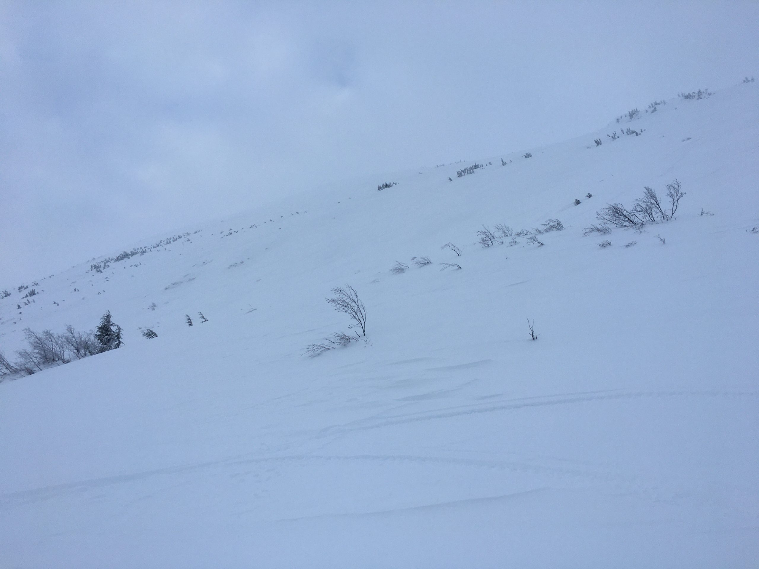
Crown from a small snowmachine-triggered storm slab at about 1300'. 01.14.2022
Sastrugi in the foreground, with some slopes scoured down to the ground in the background. 01.14.2022
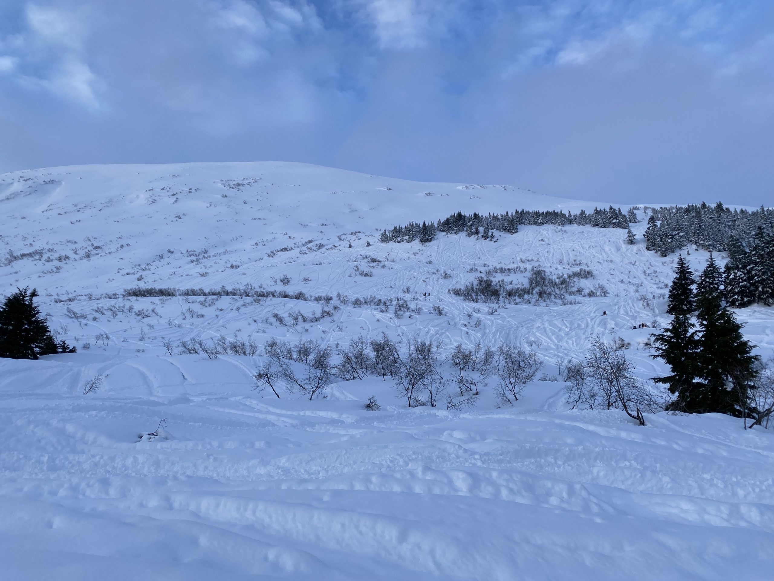
Lots of tracks on the front side. 01.14.2022
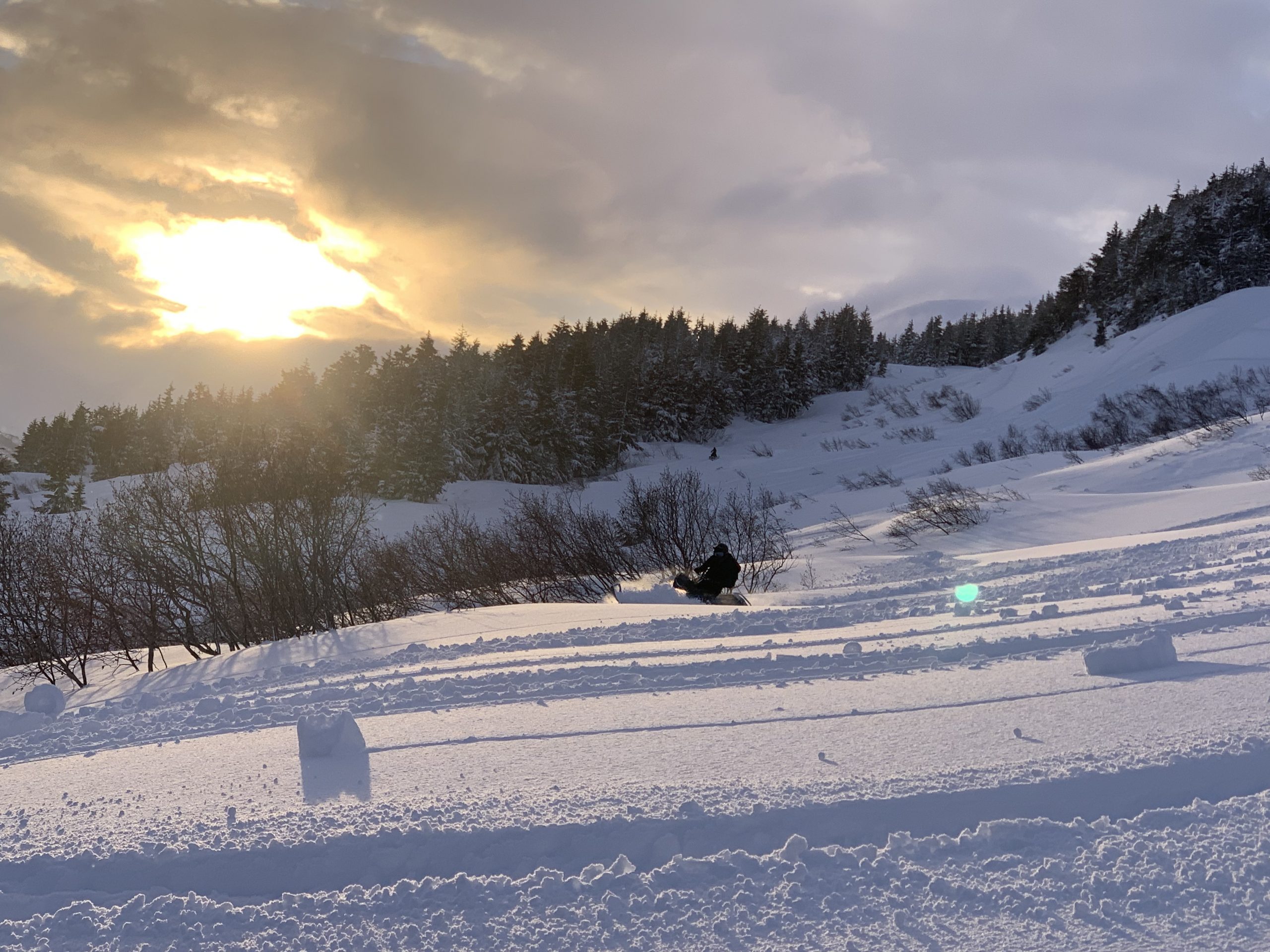
Enjoying the late afternoon sun! 01.14.2022
Pinwheel at around 1200'. 01.14.2022
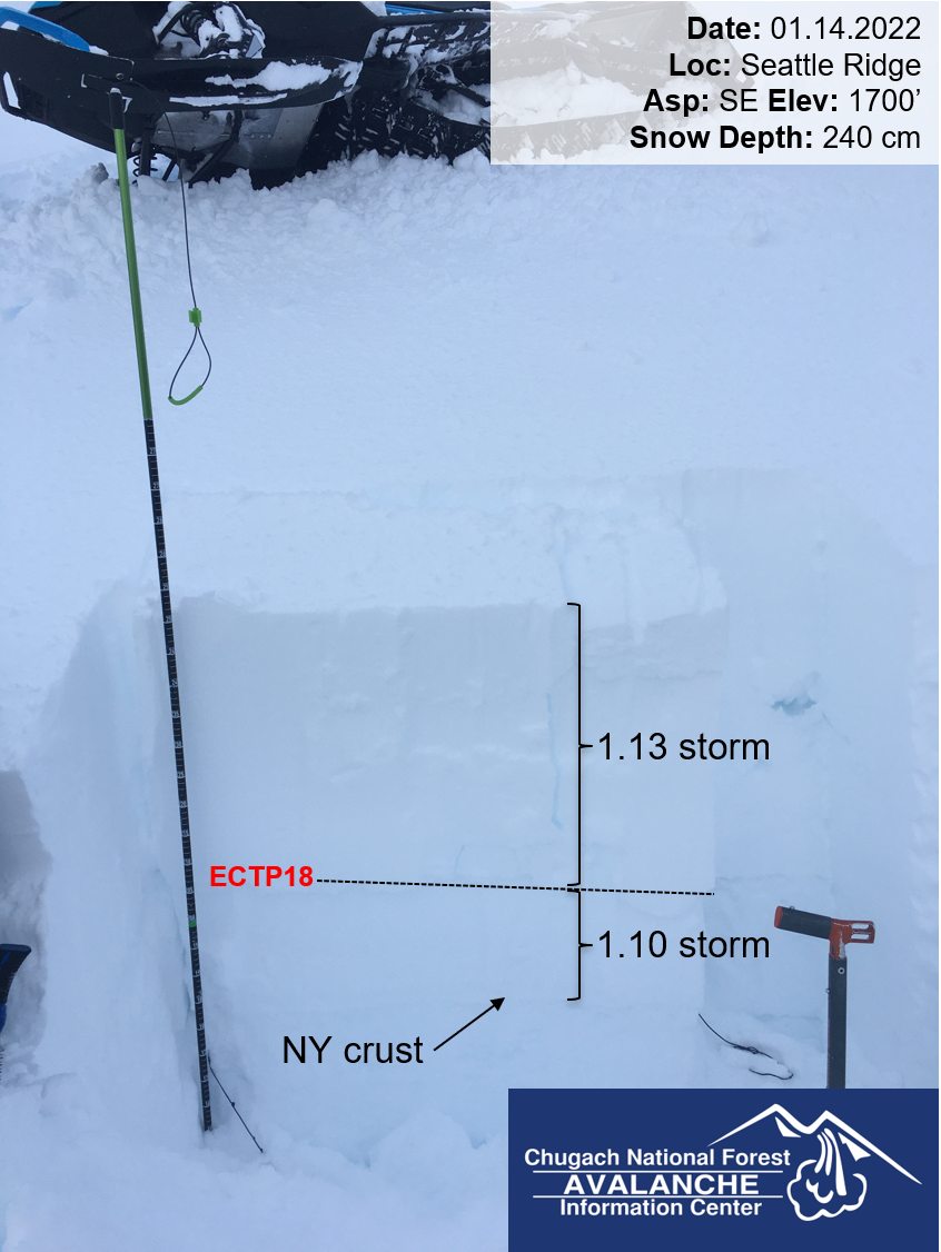
Snowpit at 1700', with poor stability test result on the 1/10 crust. 01.14.2022

View from the pit this afternoon. 01.14.2022