Winds picking up from the east transporting snow into drifts and small slabs on the ridge.
Observation: Turnagain
Location: Seattle Ridge
Toured up the snowmachine up-track to the top of Seattle Ridge to take stock on the early season snow conditions. Which consisted of only the snow that fell on Oct. 29.
Note: Snow from earlier in Oct. existed above 2,500′ before the Oct. 29 snow fell, yet our high point on the ridge was only 2,200′.
Observer Comments
Weather
Sunny with high clouds moving in around noon
Temps: 25-30F
Wind: East 20-30mph on ridge, North light below ridge
Snow surface
Faceted snow and wind affected faceted snow in most areas. Sun curst on steeper south aspects.
Surface hoar in valleys, but not found higher up on the repeat offender slope.
Snowpack
Only 6-10" of faceting snow over soft unfrozen ground. This snow is from the 10-12" that fell on Oct 29 that has settled. The sun crust on the steeper portions of repeat offender made skiing difficult. Water is still running in drainages at 2,000'.
Winds were being to scour the meager amounts of snow off the ground and pile it into drifts along the ridge. Ground was more frozen on the ridge.
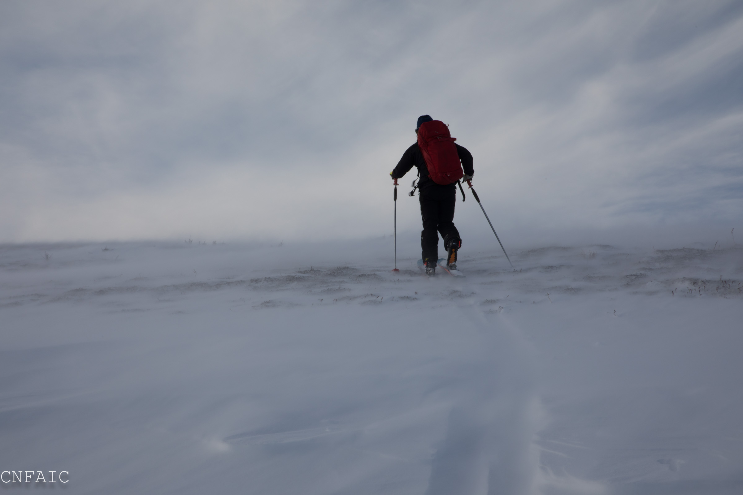
East winds along Seattle Ridge
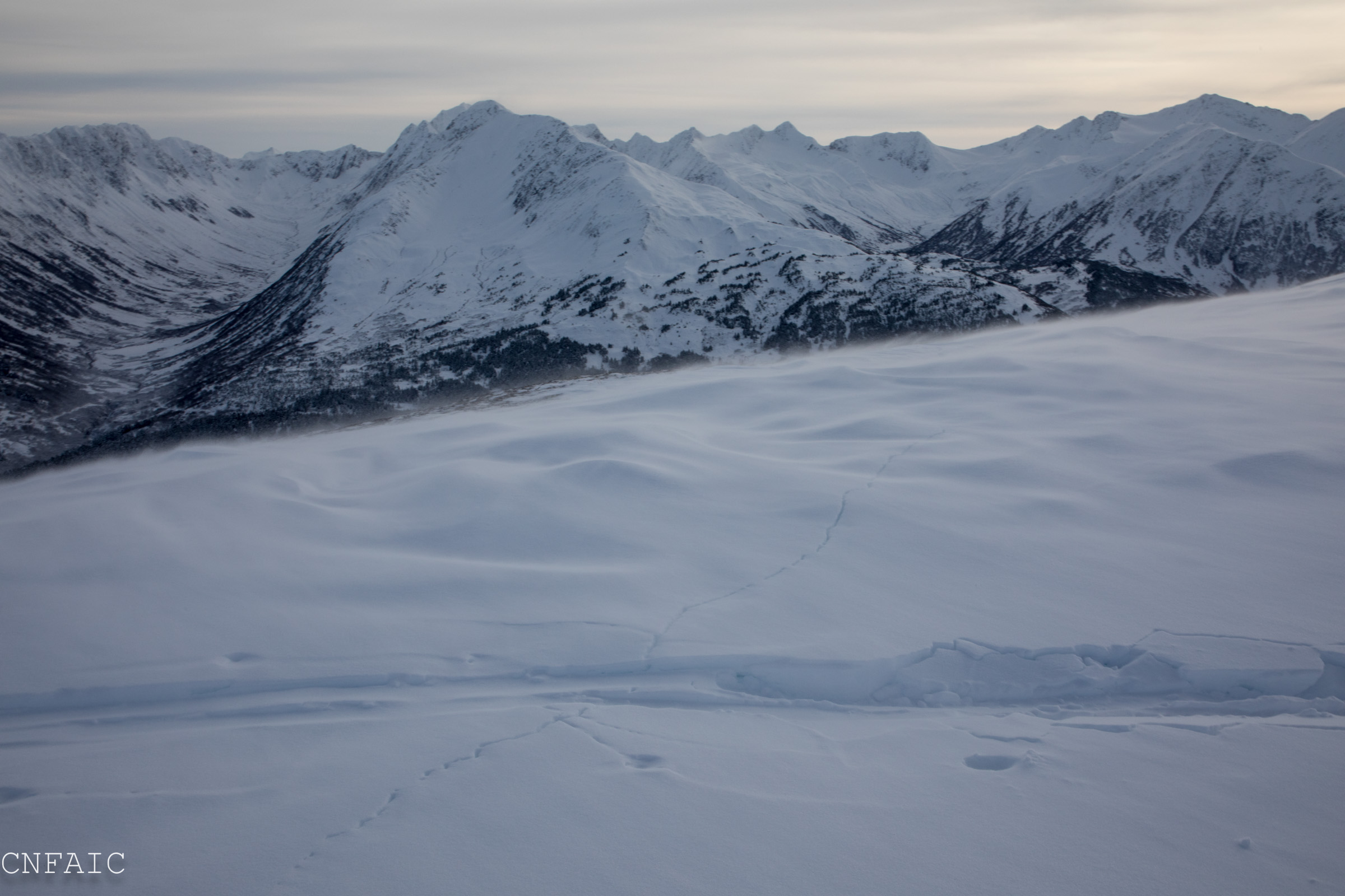
Cracking in snow drifts along the ridge
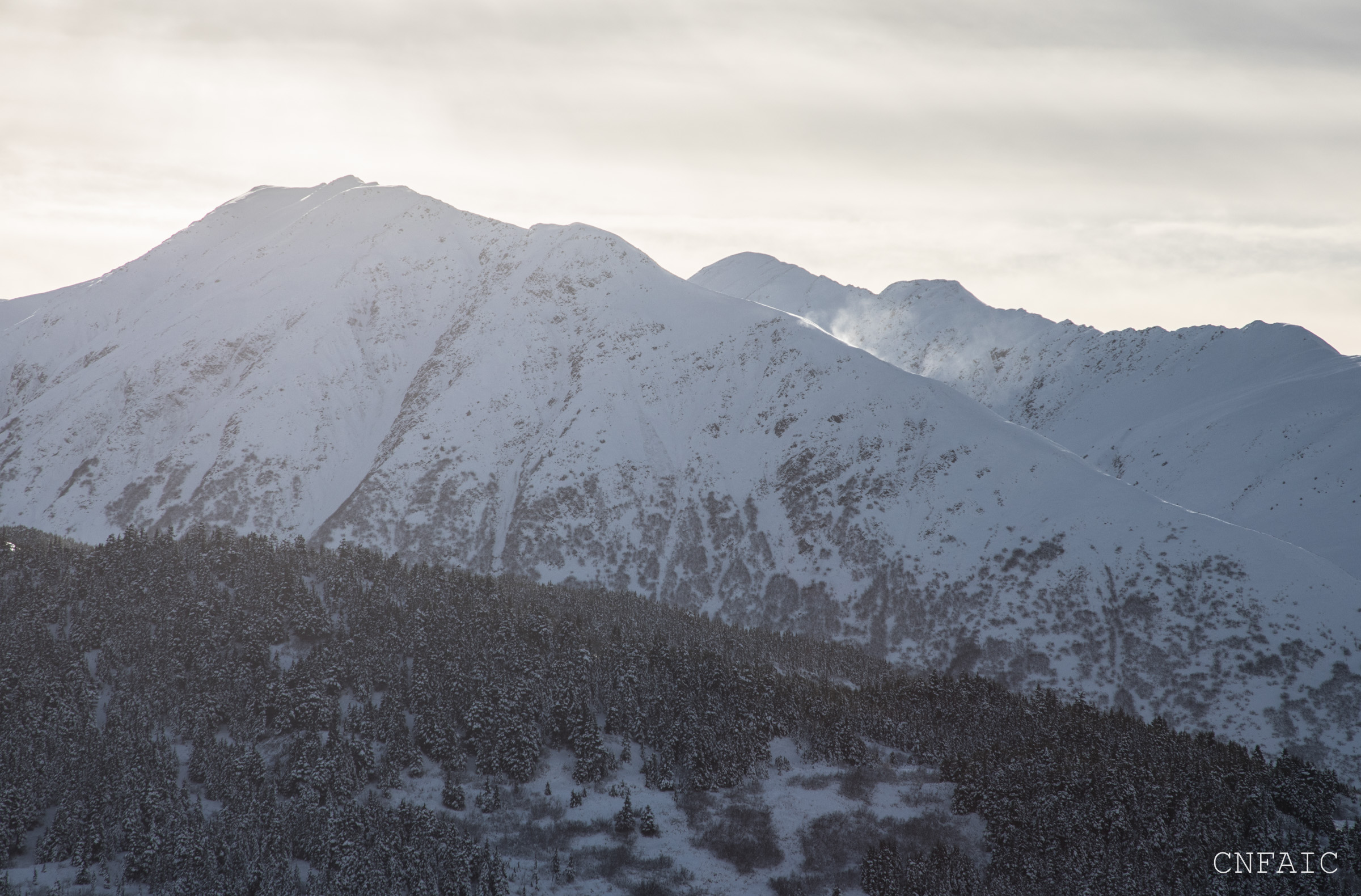
Flagging off Sunburst ridge
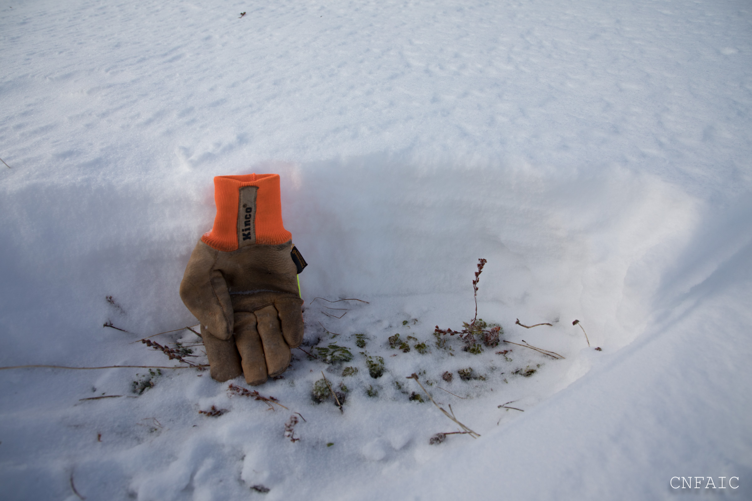
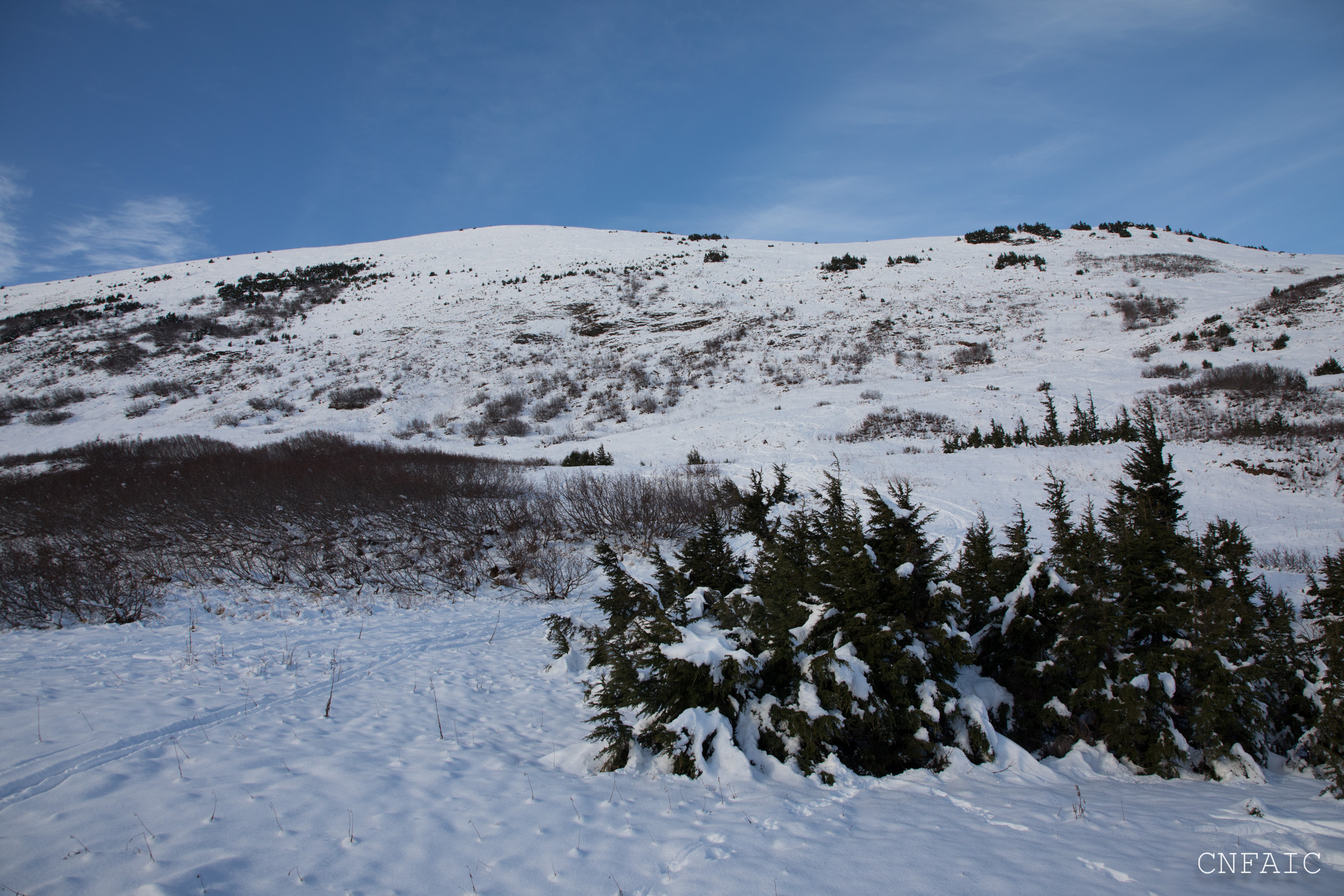
Snowpack at 2,000' - thin!

Surprise - sun crust on steeper south aspects...

Water running at 2,000' in channeled gullies
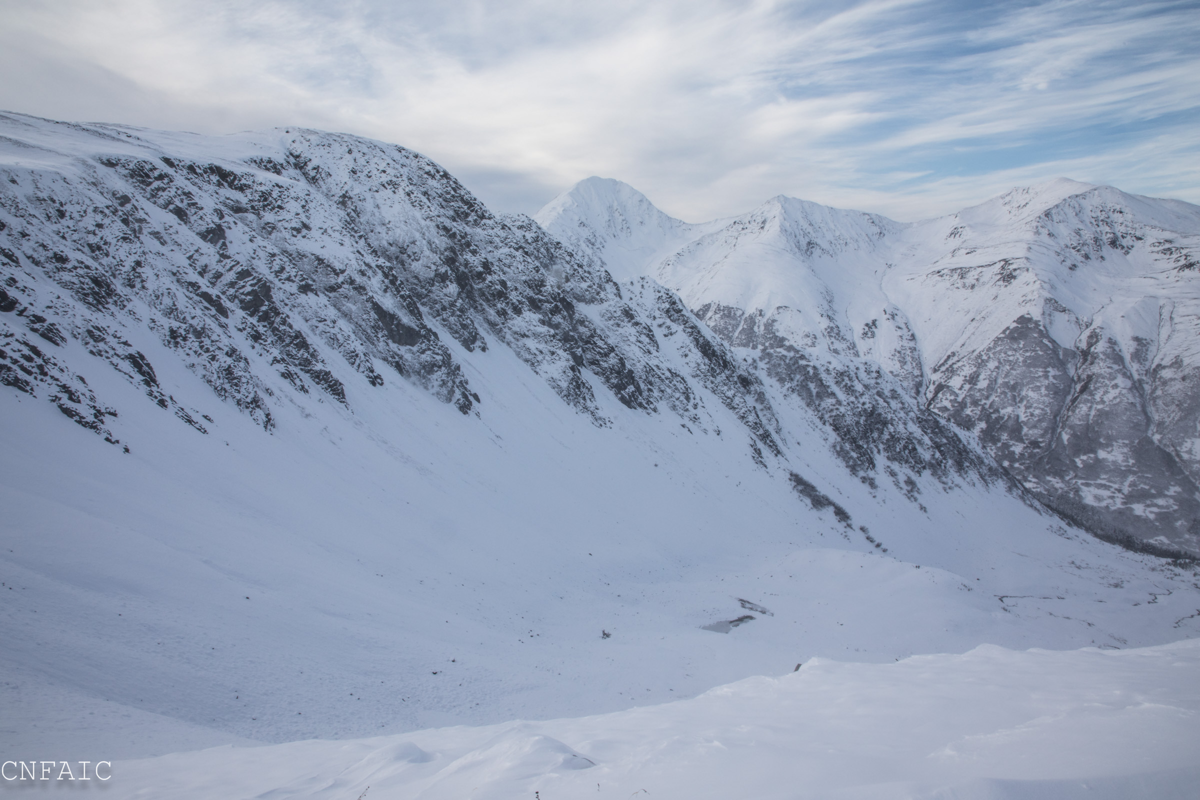
Looking SW over Zero Bowl(Mama's Bowl) toward Big Chief
Repeat Offender slide path
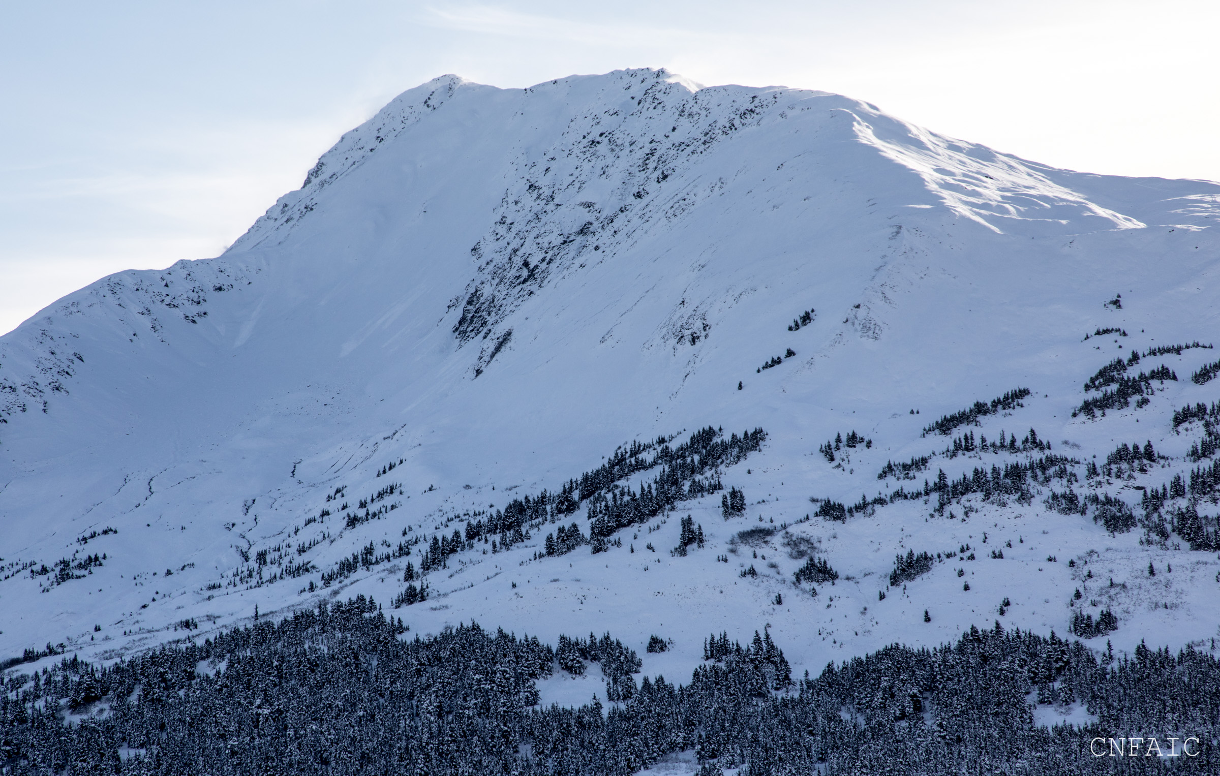
Tincan

Large surface hoar feathers in valleys