| Trigger | Natural | Remote Trigger | 0 |
| Avalanche Type | Hard Slab | Aspect | East Southeast |
| Elevation | 3500ft | Slope Angle | unknown |
| Crown Depth | unknown | Width | unknown |
| Vertical Run | 1000ft |
Avalanche: Summit
Location: Road observations - Summit Mtn
Recent large wind slab avalanche on east facing Summit Mtn, seen from the Seward Highway near Summit Lake.
Avalanche Details
This avalanche likely released Wed, Feb 13th naturally. It looks to have pulled out several pockets of wind slab on the flank and also stepped down into older snow closer to the gut.
There are also other natural wind slabs from the past 1-2 days in the paths next to the larger one mentioned. See photos.
Obvious signs of instability
| Recent Avalanches? | Yes |
| Collapsing (Whumphing)? | No |
| Cracking (Shooting cracks)? | No |
Observer Comments
Strong NW winds have been loading east through south aspects.
Weather
Mostly clear, temps in the 20'sF, strong NW winds. Plumes seen along many ridgelines.
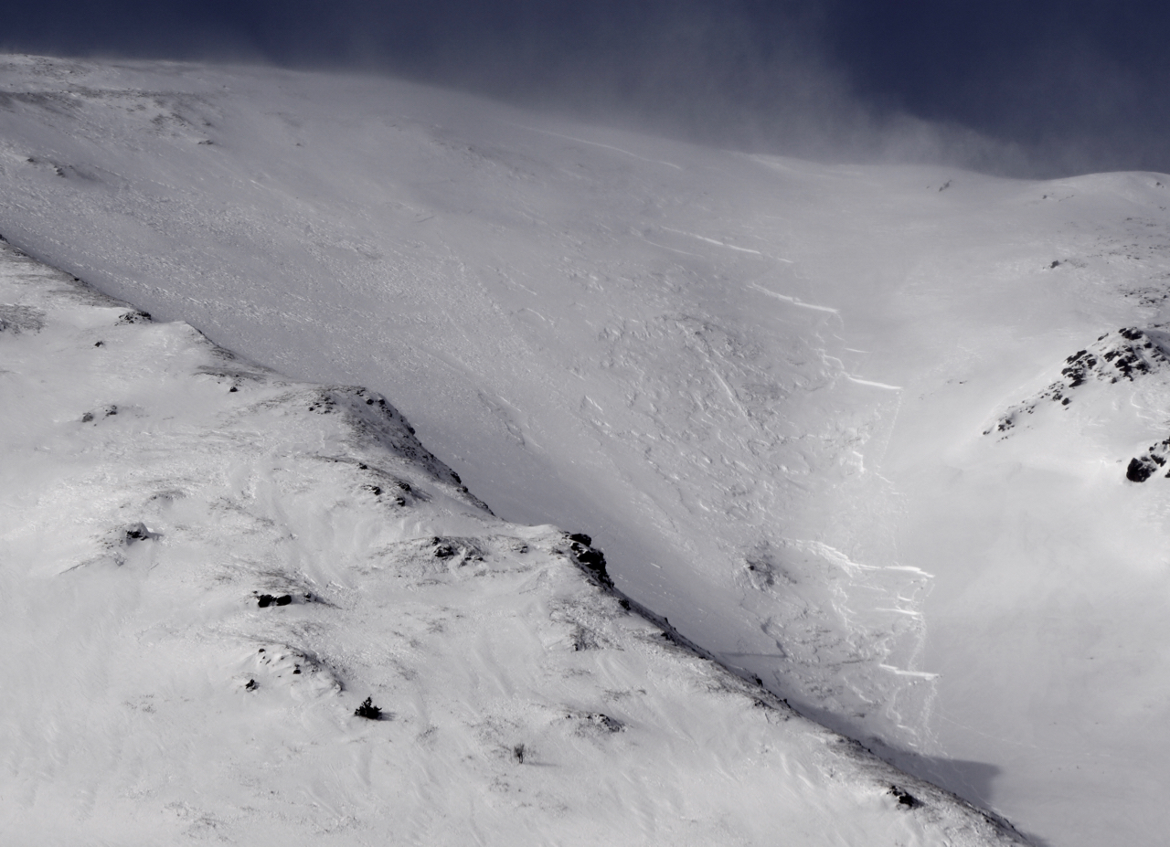
Close up of avalanche
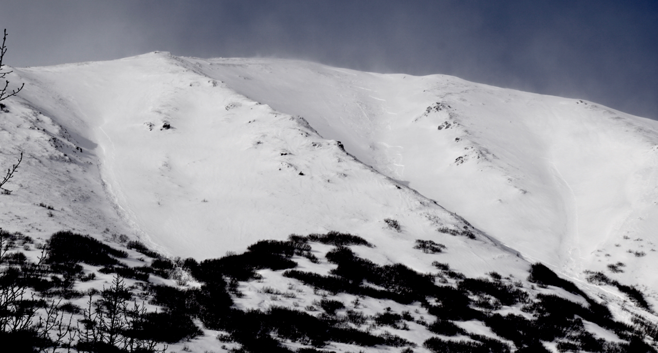
Wider view of the avalanche paths, the path on the looker's right may also be new as of feb 13th.
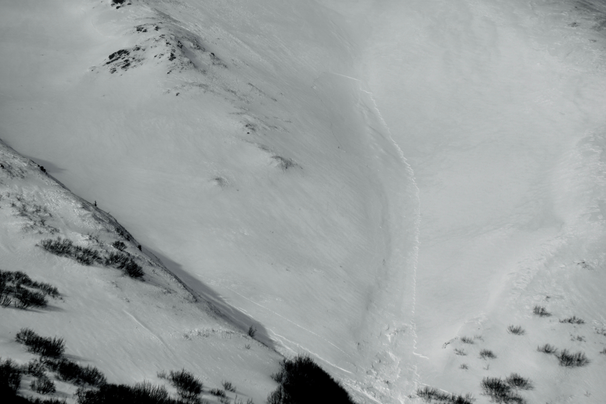
Close up of the slab on the looker's right path from photo above

NW outflow winds are creating plumes over the Snug Harbor road, photo Paul Wunnicke