| Trigger | Natural | Remote Trigger | 0 |
| Avalanche Type | Cornice Fall | Aspect | West Southwest |
| Elevation | unknown | Slope Angle | unknown |
| Crown Depth | unknown | Width | unknown |
| Vertical Run | unknown |
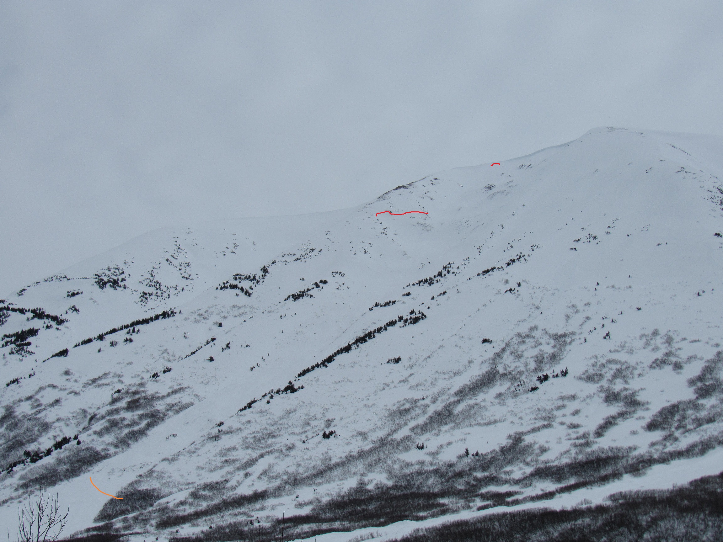
Avalanche: Summit
Location: Road Observation
Today it started out clear but very quickly clouded over. Recent avalanches were seen on South aspects (D-1)point release from steep rocky areas. On West aspects avalanche activity in the form of small to medium slab avalanches associated with cornice breaks in most cases D-1+ to D-2. Currently above freezing as of 1PM at lower elevations (35F).
Avalanche Details
See Pictures below for an overview of the avalanche activity. Varied in size and type.
Obvious signs of instability
| Recent Avalanches? | Yes |
| Collapsing (Whumphing)? | No |
| Cracking (Shooting cracks)? | No |
Observer Comments
Point Releases, Rapid rises in temperatures, recent small slab avalanches South and West aspects.
Weather
Summit Lake(Valley Bottom) Cloudy, Temperature 35F, Past 24 hours Low 11F High 37F. Snow Depth 33" (HS). 2" of settlement over the past 30 hours.
Summit Lake MP 45 (3800'): Current temperature:24F Past 24 hours 18F-24F. Winds South 8-10mph gust S 12 mph.

Butch Peak West Aspect

Butch Peak South Aspect

Tri Tip West Aspect
Moose North South and West aspects
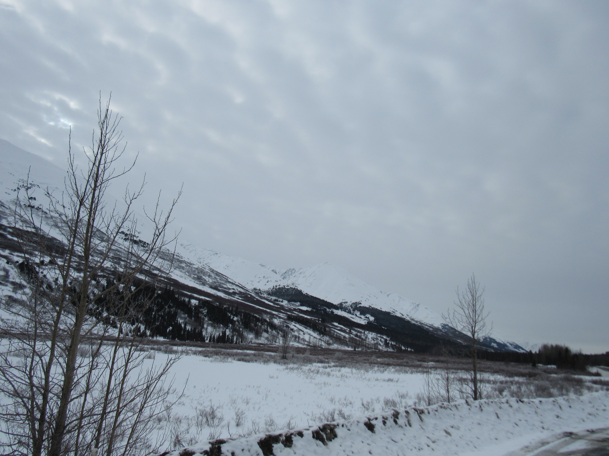
Clouds moving in the area at 1PM 3_15_1018