| Trigger | Natural | Remote Trigger | 0 |
| Avalanche Type | Unknown | Aspect | Unknown |
| Elevation | unknown | Slope Angle | unknown |
| Crown Depth | unknown | Width | unknown |
| Vertical Run | unknown |
Avalanche: Turnagain
Location: Road obs
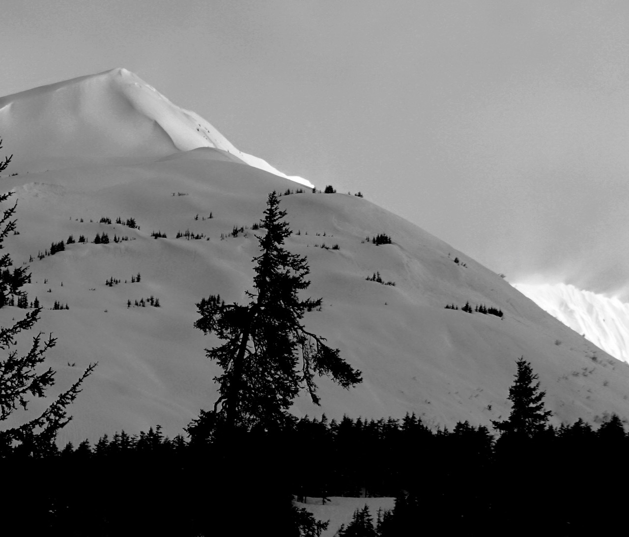
Road obs from Girdwood to Johnson Pass TH to Portage Lake to Girdwood
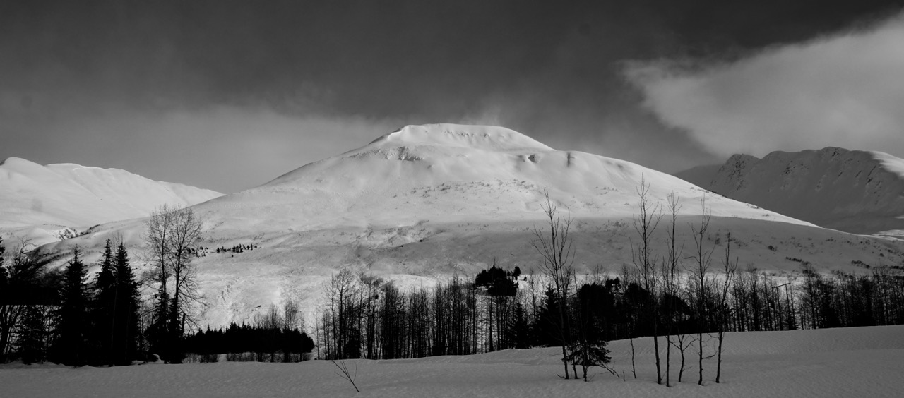
Today seemed to be the tipping point for a natural avalanche cycle. Crowns and debris visible in many paths in 20-mile, Portage, Placer, Seattle Ridge, Eddies, Sunburst, Petes South and Johnson. Notable slides on Magnum West Face and Pyramid East side.
Avalanche Details
Multiple wet slab and wet loose avalanches along visible from the road. Decent(ish) visibility between 4-6 pm. Magnum West face slid to the power line. Crown was hard to distinguish but debris ran across the entire base of the face.
Obvious signs of instability
| Recent Avalanches? | Yes |
| Collapsing (Whumphing)? | No |
| Cracking (Shooting cracks)? | No |
Weather
Broken to obscured skies
Light rain in Portage
Mid 30Fs
NE wind 10-15 along road. Flagging from ridge lines (gusting into the 60s on Sunburst)
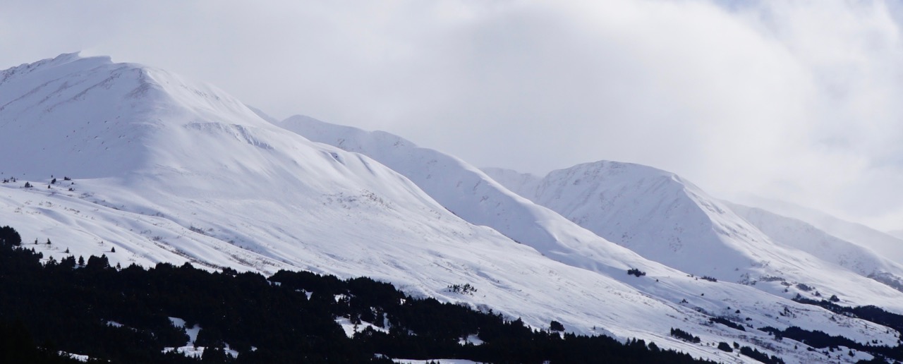
Magnum West face from Moto lot. Magnum slid to the power line. Crown was not visible but debris was all along the base.
View from below. Lots of wet loose on upper slope and slab avalanche debris along the base
Close up of the north end of Magnum West face avalanche
Slab on the south side of Sunburst and Magnum debris
Sunburst North side and roller balls on the shoulder
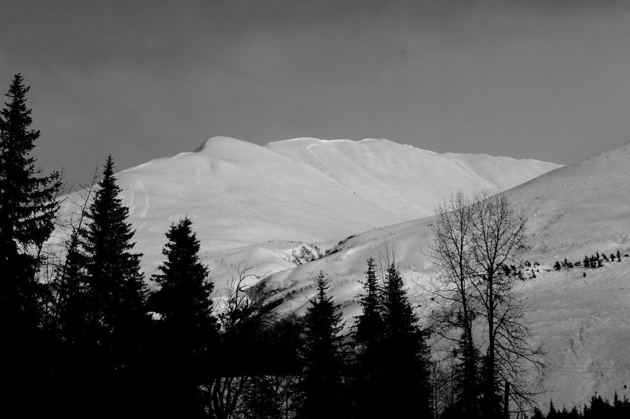
Wet loose avalanches on Lipps and Petes North
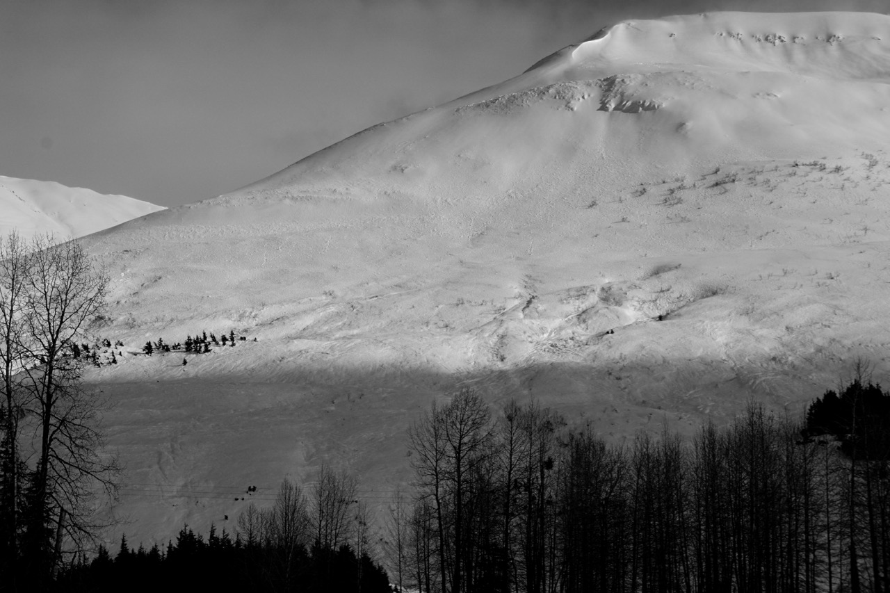
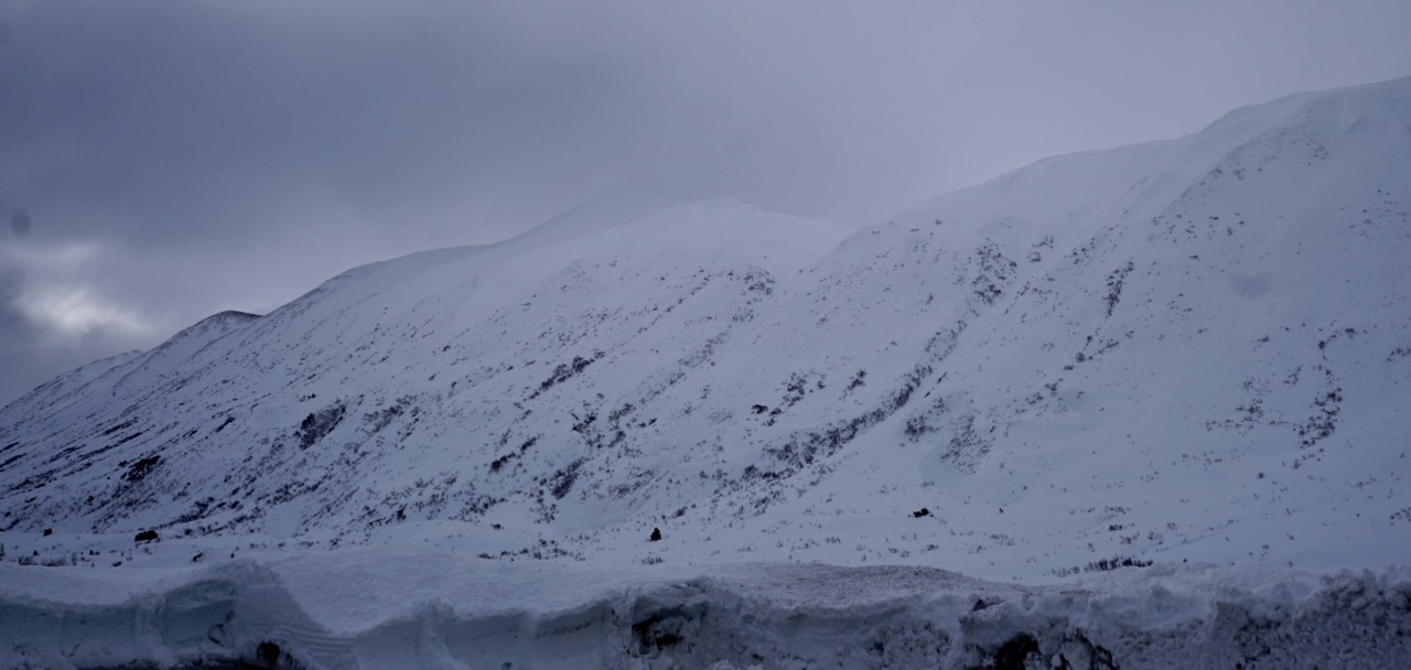
Slabs and wet loose on Petes South

Lower elevation crowns on Petes South
Avalanches on Seattle Ridge above Moto lot
Slab and wet loose on Eddies. Crown on the south west shoulder was hard to get a great shot of.

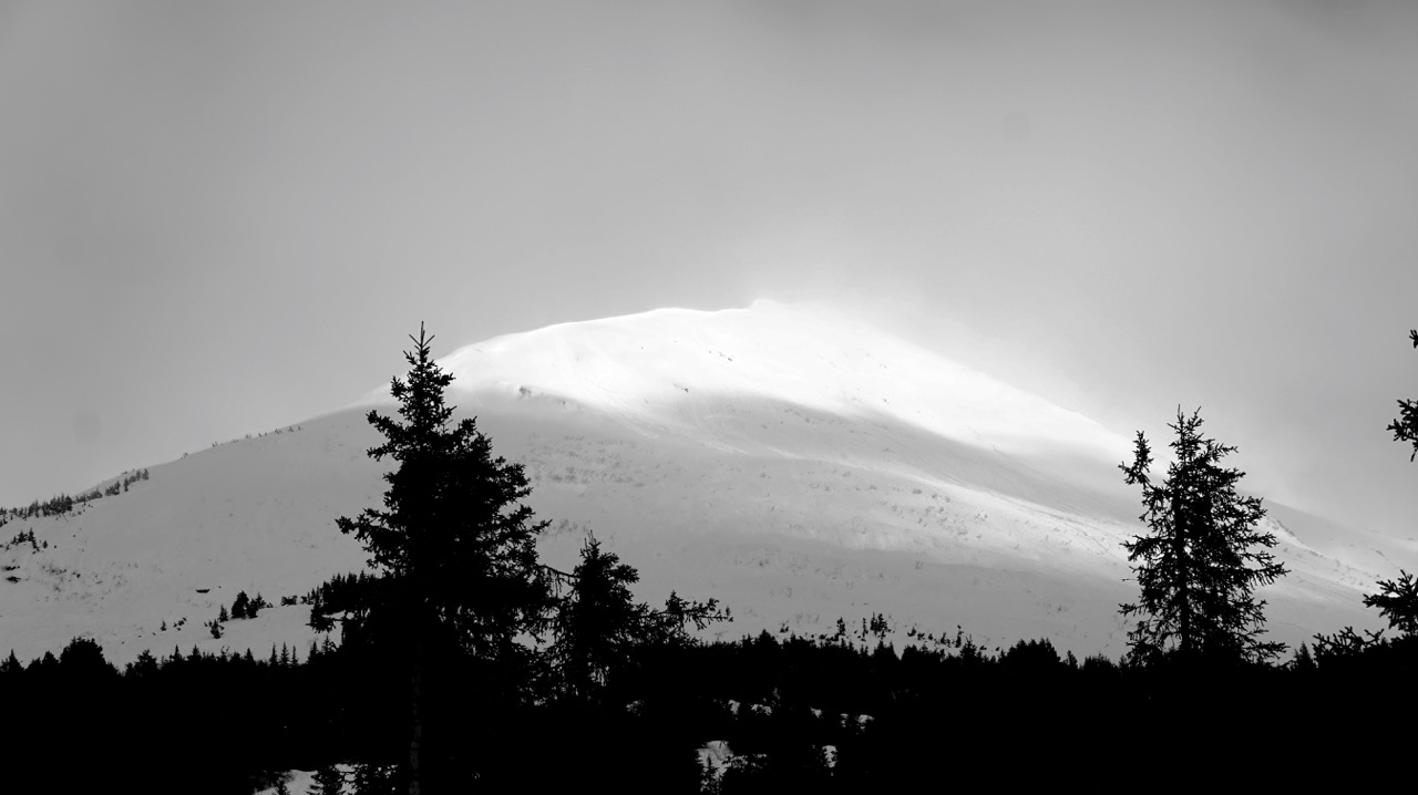
Pyramid W face, debris visible down low

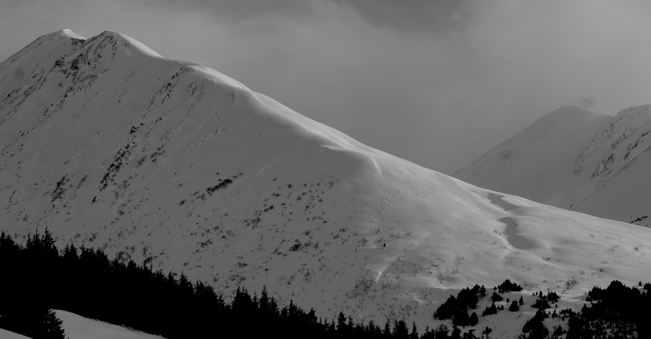
Crown on the East side of Pyramid mid-slope wide propagation

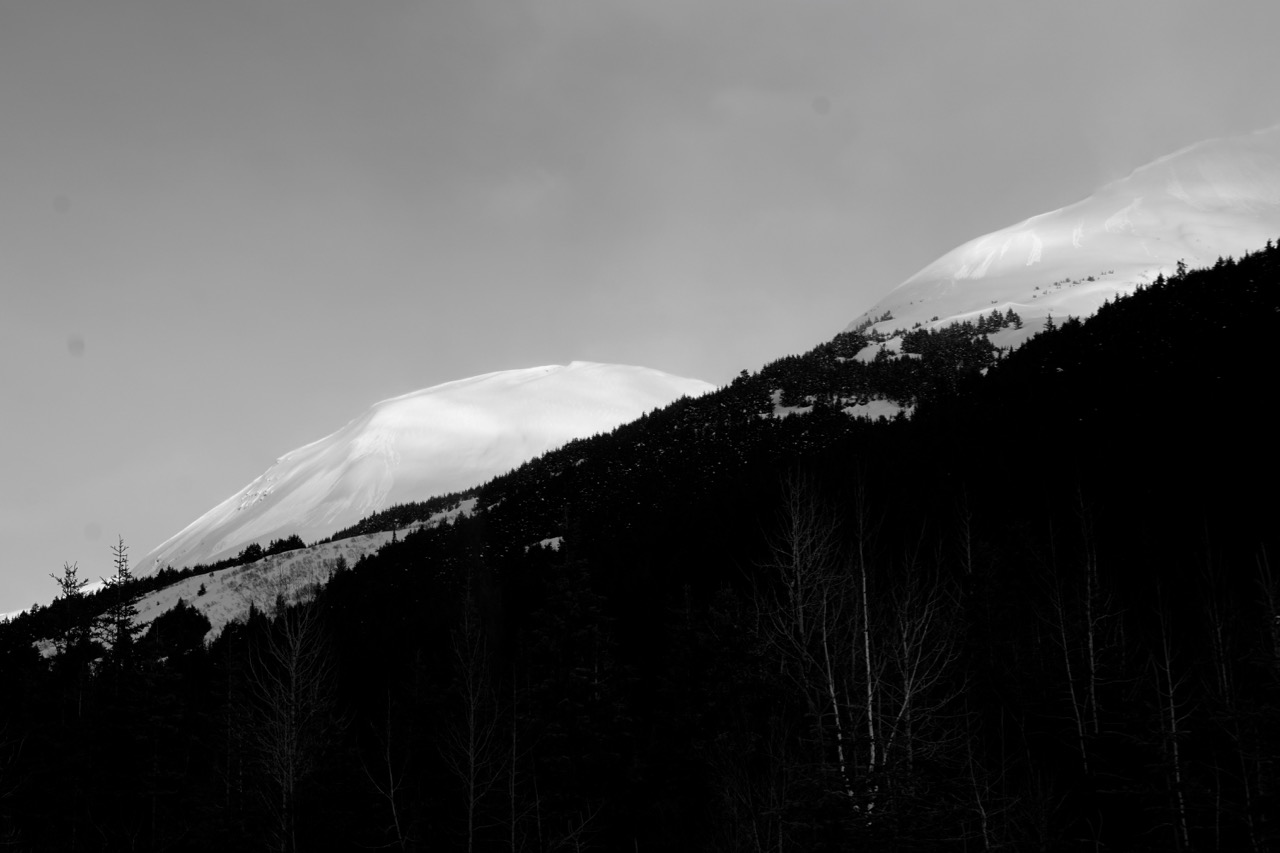
West aspect entrance to 20-Mile