Warming of the top 6" of the snow surface. We did not see any natural avalanches from the past two days, but we were wary of steep slopes simply due to the recent 2-3 feet of storm snow that fell a couple days ago.
Observation: Portage / Placer
Location: Placer Valley
Afternoon trip up to Turnagain Pass in hopes of getting to the Seattle Ridge weather station. The visibility was so poor that we ended up turning around and headed back to Placer Valley to take a look at that zone, which is where the most snow fell over last weekend. High point was only around 700′ off the valley floor.
Observer Comments
Weather
Overcast to obscured skies.
Temps in the mid 30'sF.
No wind except for at the parking lot at the Portage curve, breezy east winds there.
Snow surface
Moist soft settled powder in the Placer Valley.
Outside the Turnagain parking we found 8-10" of settled snow with a 1" crust on top - ugh.
Snowpack
There was around 18-20" of settled storm snow from the weekend.
We only tested the new storm snow that was sitting on a 2" crust. ECTN 24 around 20" down just above the crust.
No signs of cracking despite the top 6" or so being so moist and 'slabby'. I'm guessing things are much drier and could be more reactive in the higher elevations.

Snow pit at 500' in Placer Valley - no concerning pit results at this location
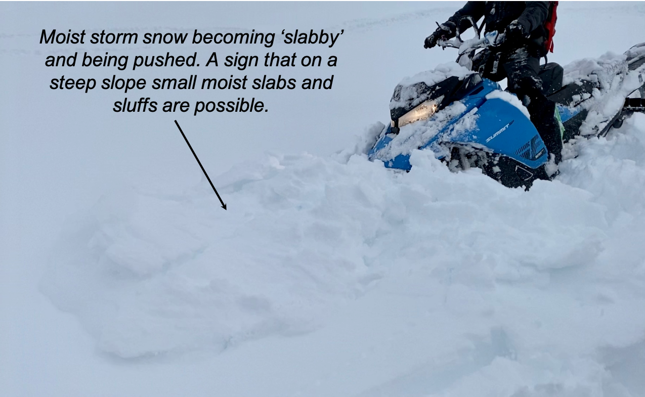
Top 6 or so inches was quite moist and becoming slabby

ECTN 24, Failed at the new/old interface that was down 20" but did not propagate
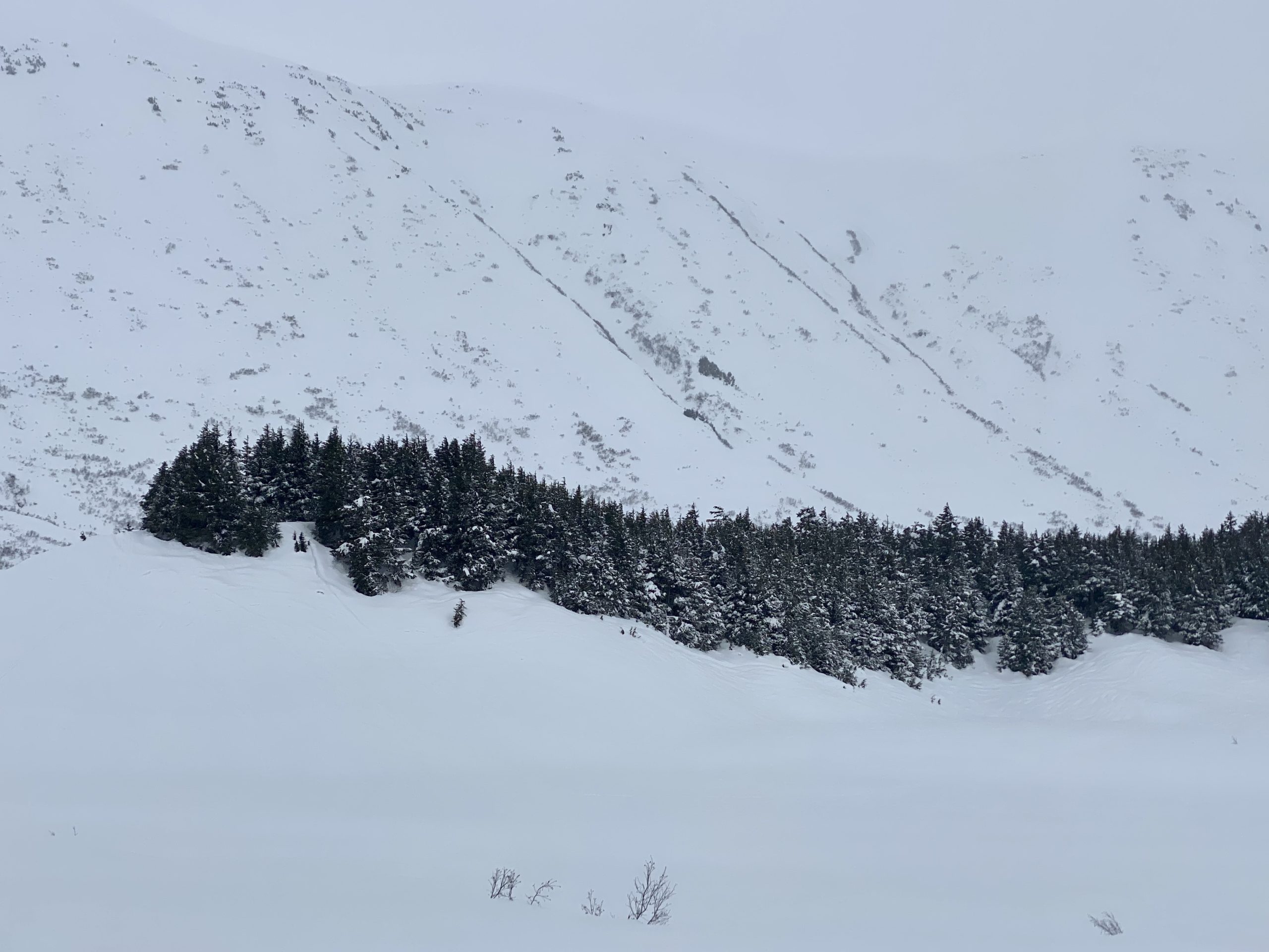
Turnagain Pass, looking over at Sunburst and Magnum from the motorized parking lot
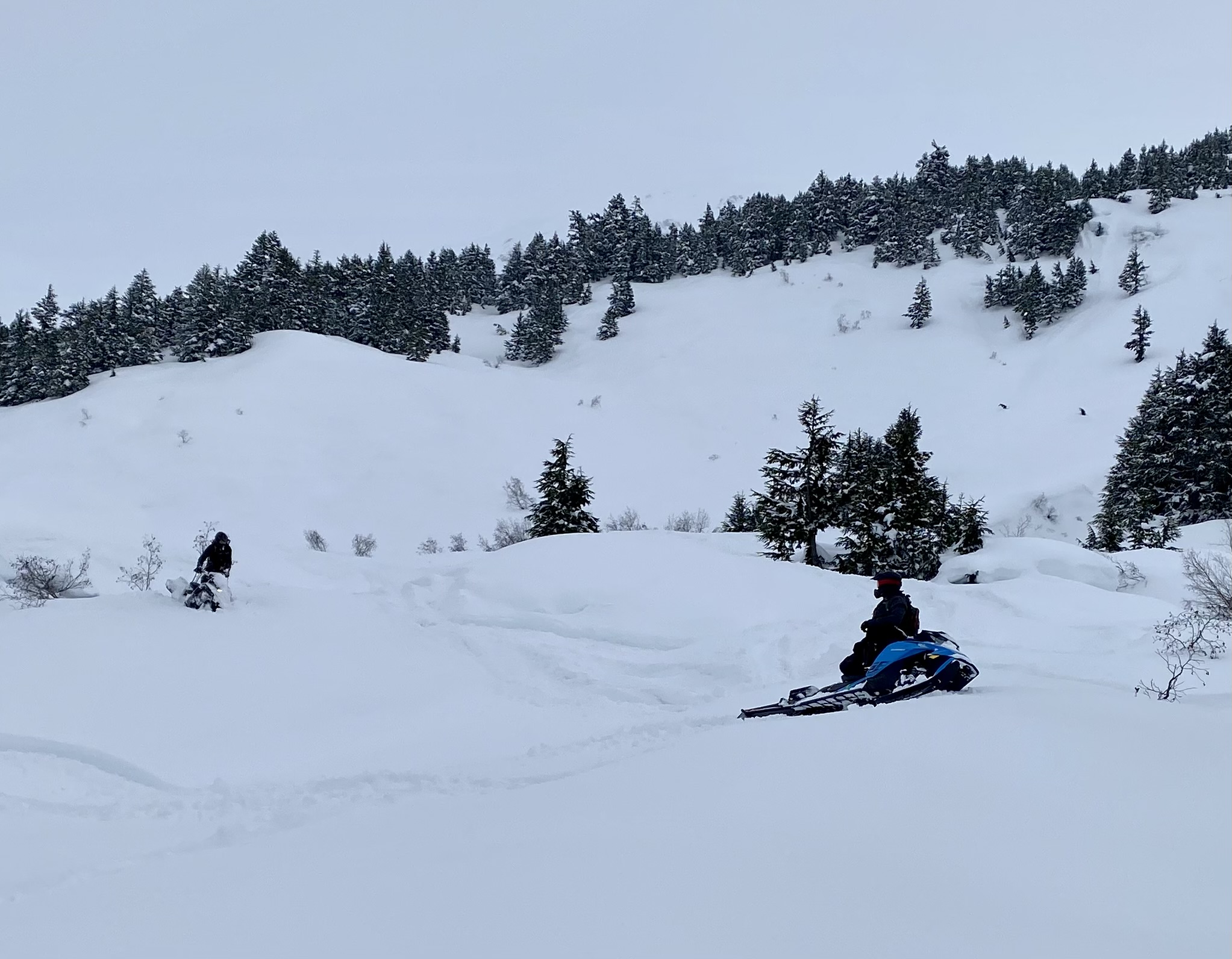
A few folks out enjoying the April powder
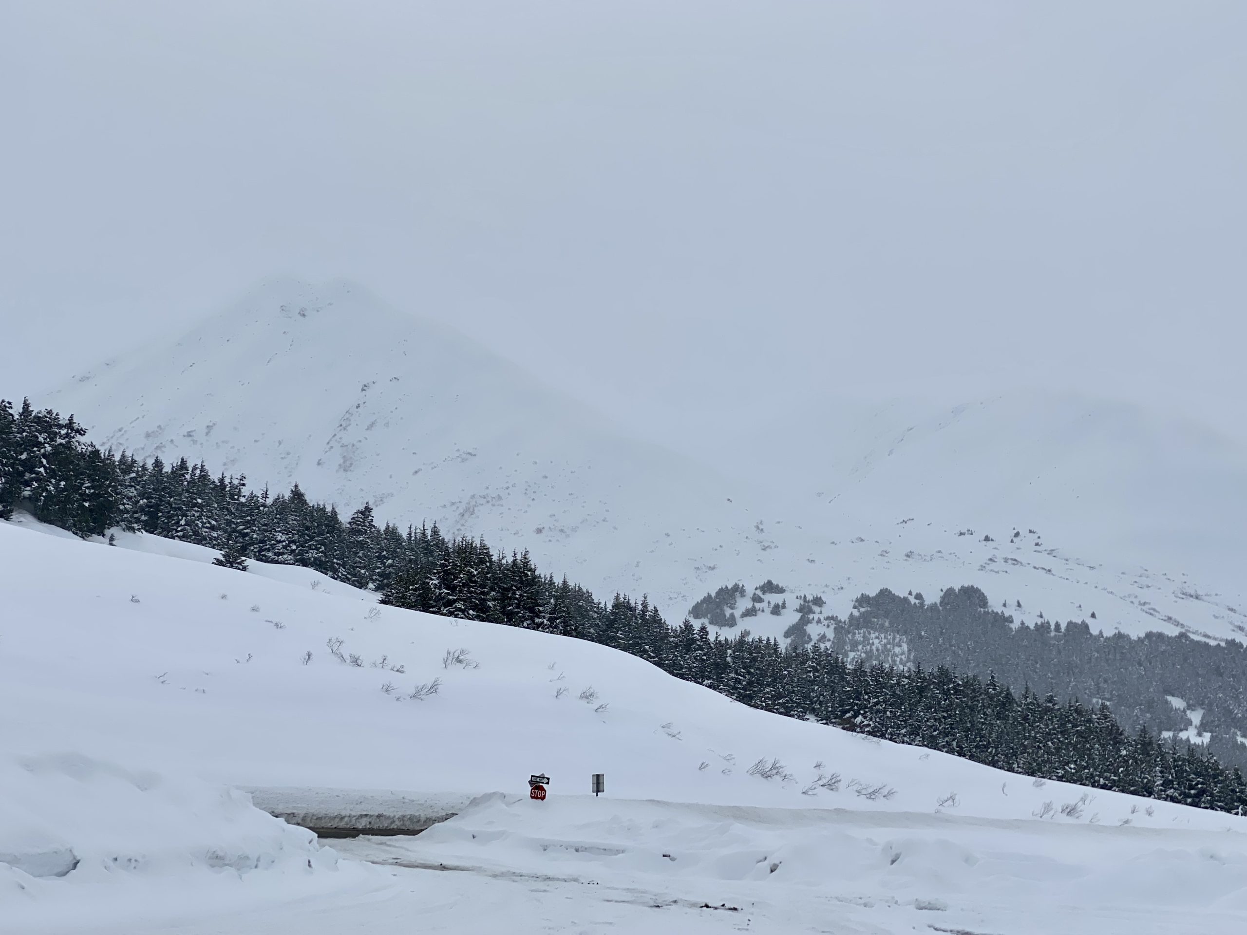
A look at Seattle Ridge.