| Trigger | Skier | Remote Trigger | No |
| Avalanche Type | Soft Slab | Aspect | West |
| Elevation | 1700ft | Slope Angle | 35deg |
| Crown Depth | 12in | Width | 50ft |
| Vertical Run | 100ft |
Avalanche: Turnagain
Location: Pete's South
Stayed in the trees on the far looker’s left of Pete’s South up to treeline around 2000′.
Avalanche Details
Small storm slab on a steep roll below treeline. The lower angle terrain next to it did not release after second skier descended.
Obvious signs of instability
| Recent Avalanches? | Yes |
| Collapsing (Whumphing)? | No |
| Cracking (Shooting cracks)? | No |
Weather
Moderate to heavy snow all day. Temperatures got warmer throughout the day but it stayed snow down to the trailhead at Johnson Pass (600 ft ish). Winds were light to moderate at treeline and transporting snow above treeline. Visibility was obscured.
Snow surface
New snow. About 10" over the Monday/Tuesday crust at trailhead. Gradually increasing to 12-14" at treeline.
Snowpack
We dug a pit at treeline around 2000' on a west aspect. No propagation in ECT, but we got an ECTN 9 on the new snow old snow interface (which is the interface that avalanched in our way down). The new year's crust was 90cm deep and total snowpack was 270cm.
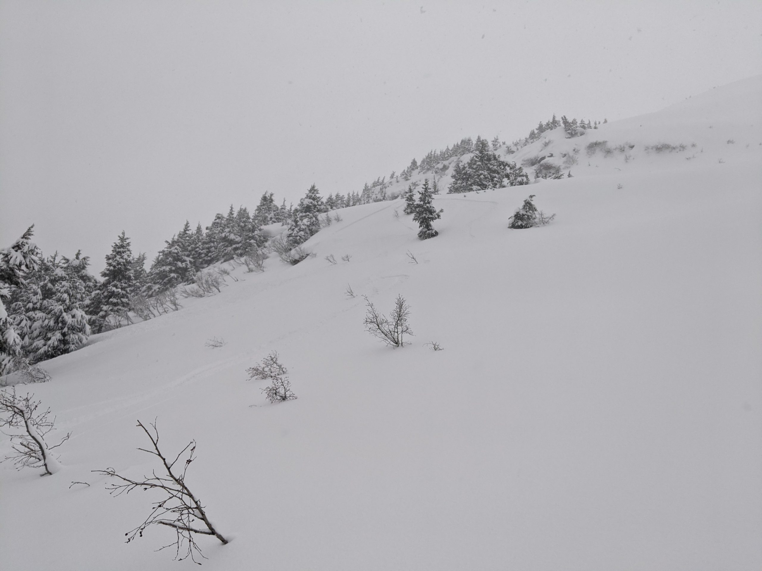
Storm slab at 1700' on W aspect. Was about 12" deep, 50' wide, and propagated on a crust at the new snow old snow interface.

Crown of storm slab

Other small shooting cracks and loose snow in steeper terrain

Wind transport above 2000' at top of treeline