| Trigger | Natural | Remote Trigger | Unknown |
| Avalanche Type | Unknown | Aspect | Unknown |
| Elevation | unknown | Slope Angle | unknown |
| Crown Depth | unknown | Width | unknown |
| Vertical Run | unknown |
Avalanche: Turnagain
Location: Pete's North
Toured up to treeline (about 2300′) on Pete’s N. Getting through the forest and alders to access this area is quite challenging and not recommended until we have more snow. The alders are close to being laid down, but they need a couple more feet.
Avalanche Details
We saw three large avalanches on surrounding peaks. The most notable was at about 3000' on the E aspect of Twin Peaks (see photos). We were too far away to really tell how large it was but I am guessing at least D 2.5. Up Lynx creek there was another very similar avalanche that released on a N aspect at 3000' in a large gully feature coming off of peak 4451' (name from the USGS topo). Finally, we saw a large mid slope release on the SW aspect of Lipps at 2800' (see photos). This crown was partially filled in and looked shallower than the two from Twin Peaks and Lynx.
Weather
The weather was very active today. Starting with very strong winds creating large plumes off most of the skiers side ridgelines. Then shifting towards broken skies and calm weather. Finally in the afternoon clouds moved in and heavy snowfall started at upper elevations. Thankfully the precipitation was lighter at lower elevations on our way out where it would have been raining.
Snow surface
About 2-3" of wet snow on top of a crust at the road level. This transitioned to dry snow on the surface at about 1200'. Trail breaking was about 1.5' deep from there up to our high point, with some easier sections where the surface snow had seen some wind.
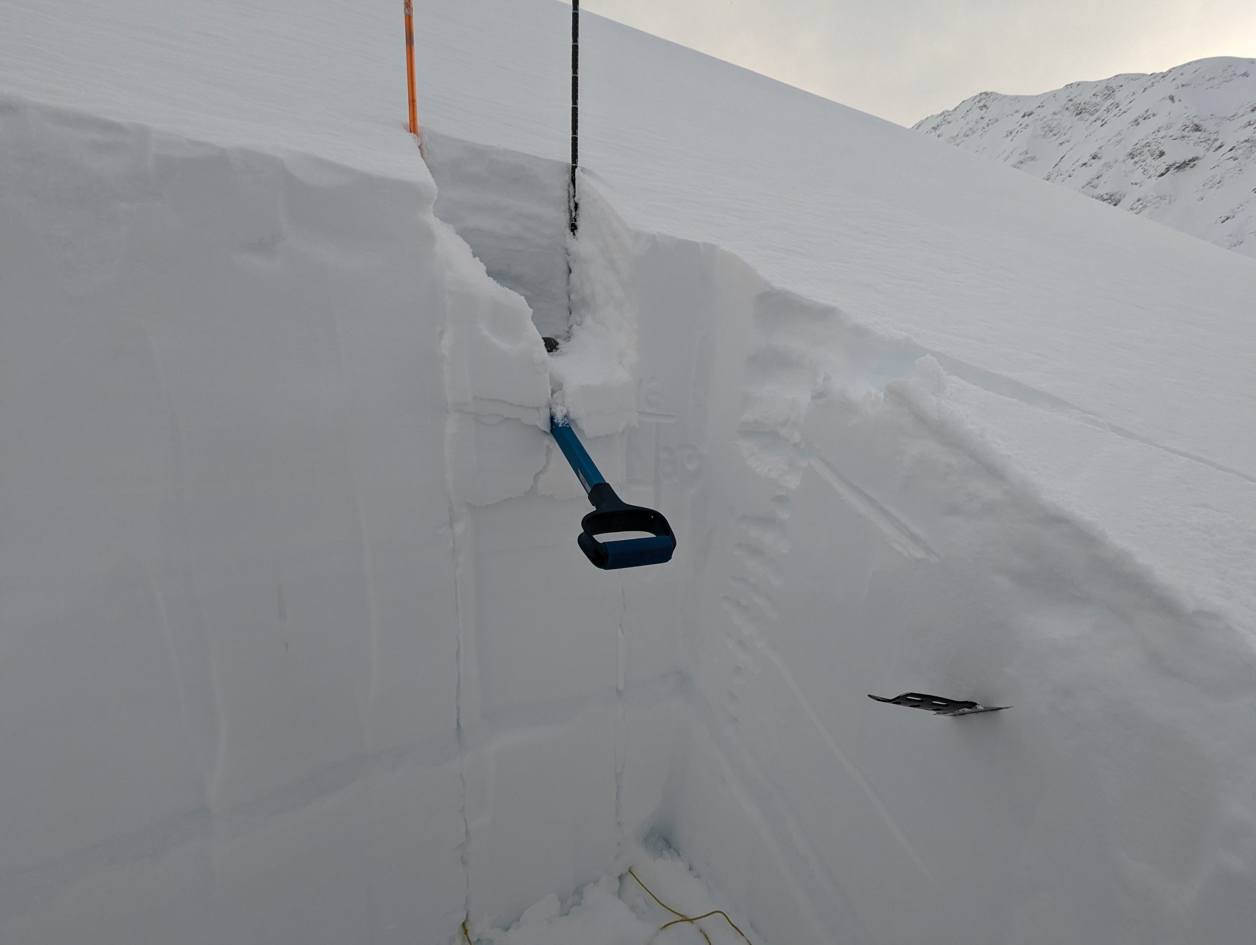
Snowpack
We dug a set of pits at 2200' on a W aspect. We had some moderate and hard failures in CTs and ECTs on storm interface layers within the upper 65 cm of the snowpack. There was a 5 cm thick melt freeze crust about 80-100 cm deep that is likely from the Christmas storm. In general it seemed like the new snow above the Christmas crust was bonding fairly well.

Lots of wind loading on the ridgelines in the morning.

Large mid slope avalanche on the E aspect of Twin Peaks at about 3000'.

Slightly smaller avalanche on the SW aspect of Lipps at 2800'

Alders were still a major issue in the treeline elevation band on the way up and down : (
A few layers that looked like interfaces between recent storms had results in our pits, but no propagation on any layer.