| Recent Avalanches? | Yes |
| Collapsing (Whumphing)? | No |
| Cracking (Shooting cracks)? | No |
Observation: Turnagain
Location: Petes North
Standard skin track to 2750′ on ridge. Specifically choose this end of the Pass to observe NW winds getting channeled from the south and to look at recent storm snow depth compared to the northern end over the buried surface hoar layer.
Obvious signs of instability
Observer Comments
Wind loading
One small recent natural avalanche on south side of Lipps up the Petes Creek drainage
Weather
Mostly clear with some valley fog towards the arm
Temperatures in the single digits
Winds from the south increasing around 11:00 am, 10-20 mph, moving surface snow and flagging along ridgelines.
Snow surface
Surface hoar over 4" of faceting snow over melt-freeze crust to around 1300' 3 moose lounging in the meadow along the powerline
1300-2300' surface hoar over 4" of faceting snow over settled powder
2300-2750' surface hoar was getting blown over with southwest winds, light wind texture becoming a wind skin along the ridge, loading onto the north side. Under the 4" of recent snow there was a very thin rime crust from 1.23.
Snowpack
We dug at 2200', N aspect, 26° slope, HS: 180 cm, pit depth 105 cm, 1.28 buried surface hoar down 10 cm visible in pit wall but really easy to see with shovel tilt, with only 10 cm/4" of faceted snow on top of this layer there was no slab, the interface from the 1.23 storm was down 20 cm (faceting decomposing precip particles), CT 24, CT 22, ECTN 24, snowpack below is right side up, 1F trending to Pencil hardness.

Surface hoar at 1700'

surface hoar over near surface facets
Wind transport on 4940', you can see the cross loading from the north (prevailing wind direction in this spot) and the wind loading from the south today.
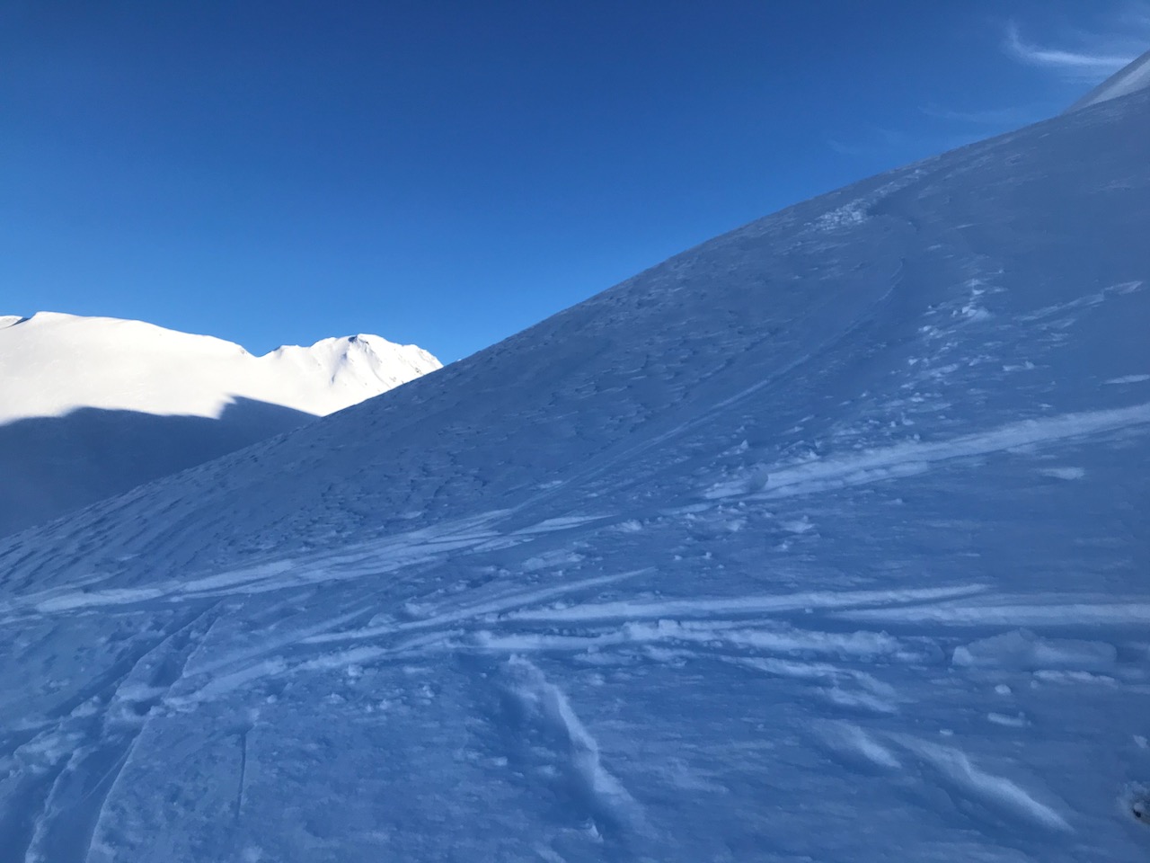
Wind texture and wind transport along the Petes N ridge
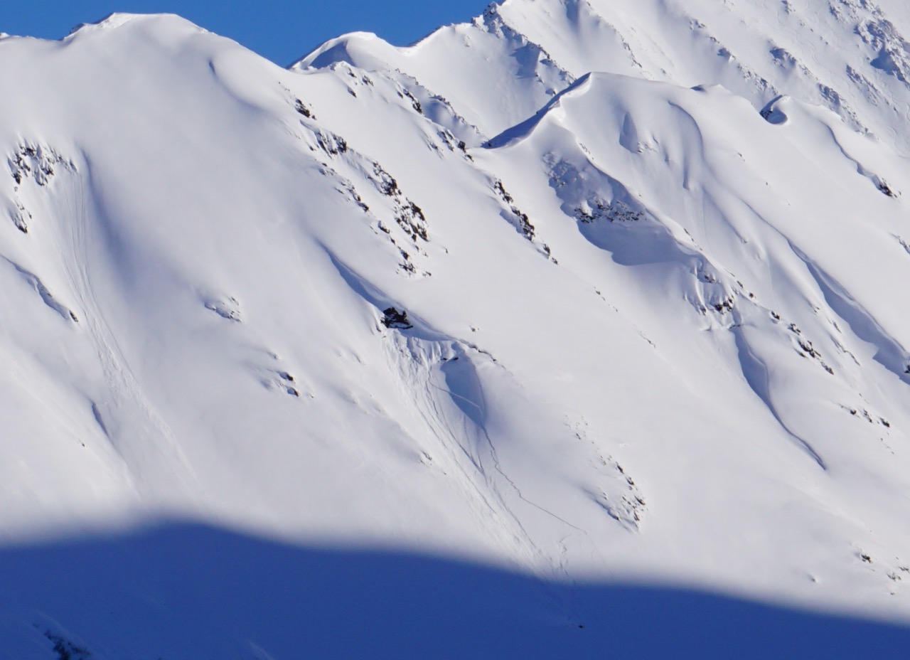
Small recent natural on the south side of Lipps up Petes Creek drainage

1.28 buried surface hoar visible with shovel tilt at 2200'