| Trigger | Natural | Remote Trigger | Unknown |
| Avalanche Type | Glide | Aspect | Southeast |
| Elevation | 2500ft | Slope Angle | unknown |
| Crown Depth | unknown | Width | unknown |
| Vertical Run | unknown |
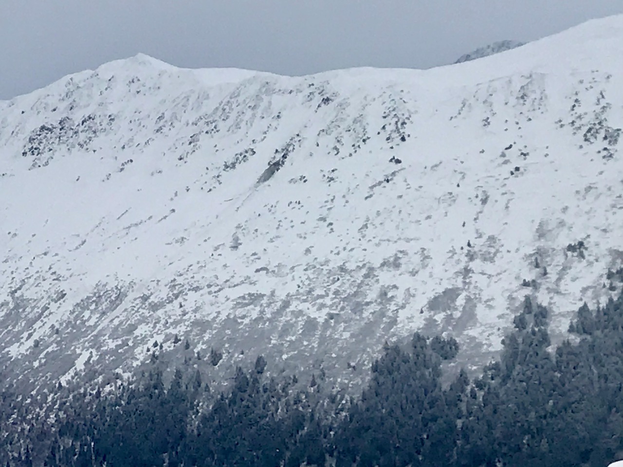
Avalanche: Girdwood
Location: Orca
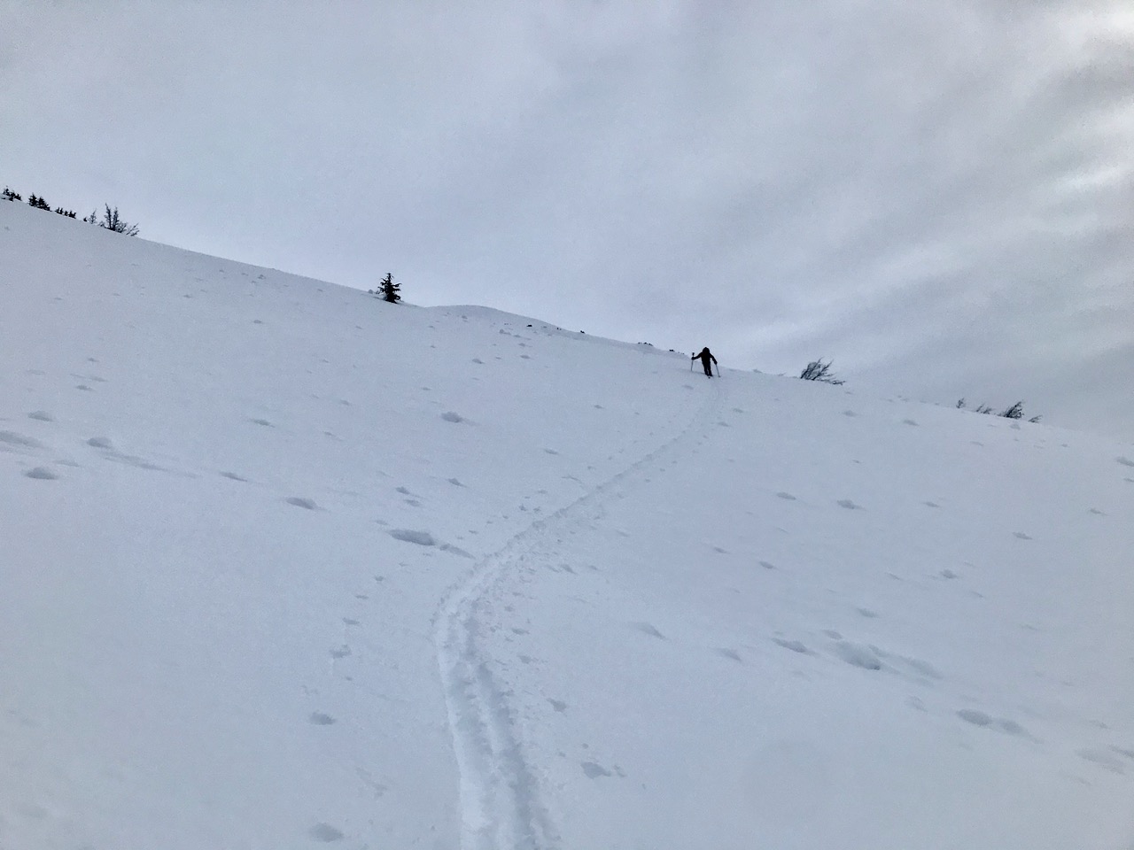
Ascended from the Seward hwy to 2660′ on ridgeline
Avalanche Details
Recent glide avalanche - the color indicated it had not been exposed to the sun yesterday so expect that it released in the last 24 hrs.
Observer Comments
None observed
Weather
Overcast
Light snowfall starting just before 2 pm
Calm winds
Single digits starting at the truck, teens at upper elevations and 20°Fs back at the truck.
Snow surface
Woodland travel was a mixture of punchy crust or just a skiff of snow over icy vegetation
Out in the open - near surface facets and surface hoar, towards the ridge the surface hoar is rimed.
We found a thin sun crust on a few small steep south facing rolls
Wind crust along the ridge
Plenty of soft snow available for transport
Snowpack
At 1000' there is 3-4" of near surface facets with surface hoar on the surface over a thick supportable melt freeze crust.
The crust becomes breakable around 1400' and disappears around 2100'. Surface snow easily sluffs in steep terrain.
Stomping along a south facing wind-loaded lip along the ridge produced small cracks that failing down 6" on a thin solar crust with facets on top.
We dug at 2630' just below the ridge on a SW aspect, 19° slope, HS: 195, Pit depth 110 cm. There is a defined layer of buried surface hoar 15 cm down, CT4, CT3, ECTN4. Shovel tilt Moderate. There was not a slab over buried surface hoar at this location. I found a layer of small facets 45 cm down with extra hits on my compression test, ECTX. On our descent the only spot that was slightly slabby was a small wind-loaded roll.
We could see old wet avalanche debris long the gully of the main path. Smaller piles up high and a large pile that gouged along the gully walls.

Facets over melt freeze crust at 1000'

Old wet debris from the 1.18 avalanche cycle
Lots of old wind triggered roller balls

Thin solar crust on mini steep south facing roll @ 2400'

Wind effect on the ridge
Recent glide avalanche on Penguin Ridge
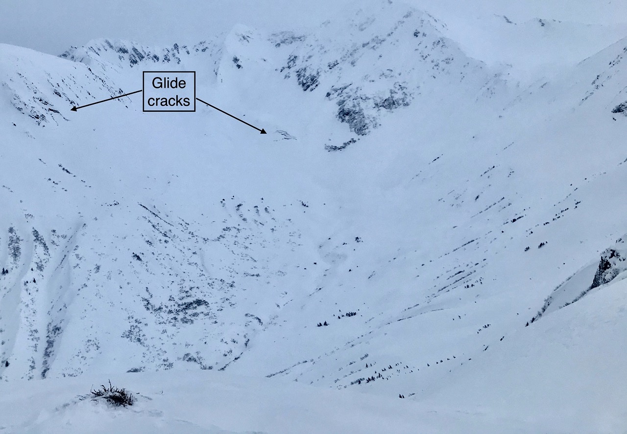
Glide cracks in the Virgin Creek drainage

Buried surface hoar 15 cm down

Buried surface hoar 1 cm, down 15 cm in pit

Buried surface hoar and small near surface facets 15 cm down in pit
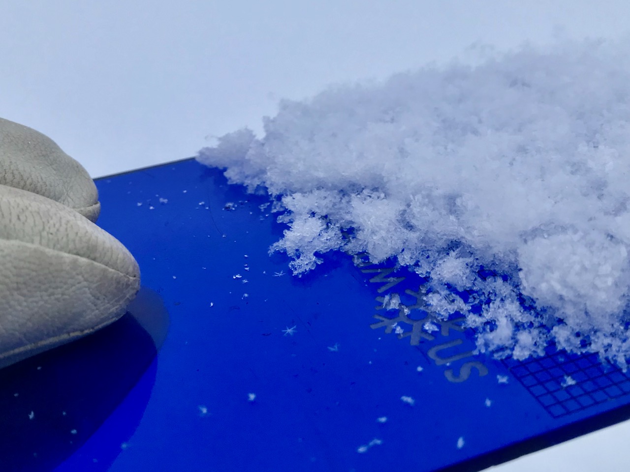
Rimed surface hoar and stellars over nsf

Orca pit profile20210209