| Recent Avalanches? | Yes |
| Collapsing (Whumphing)? | No |
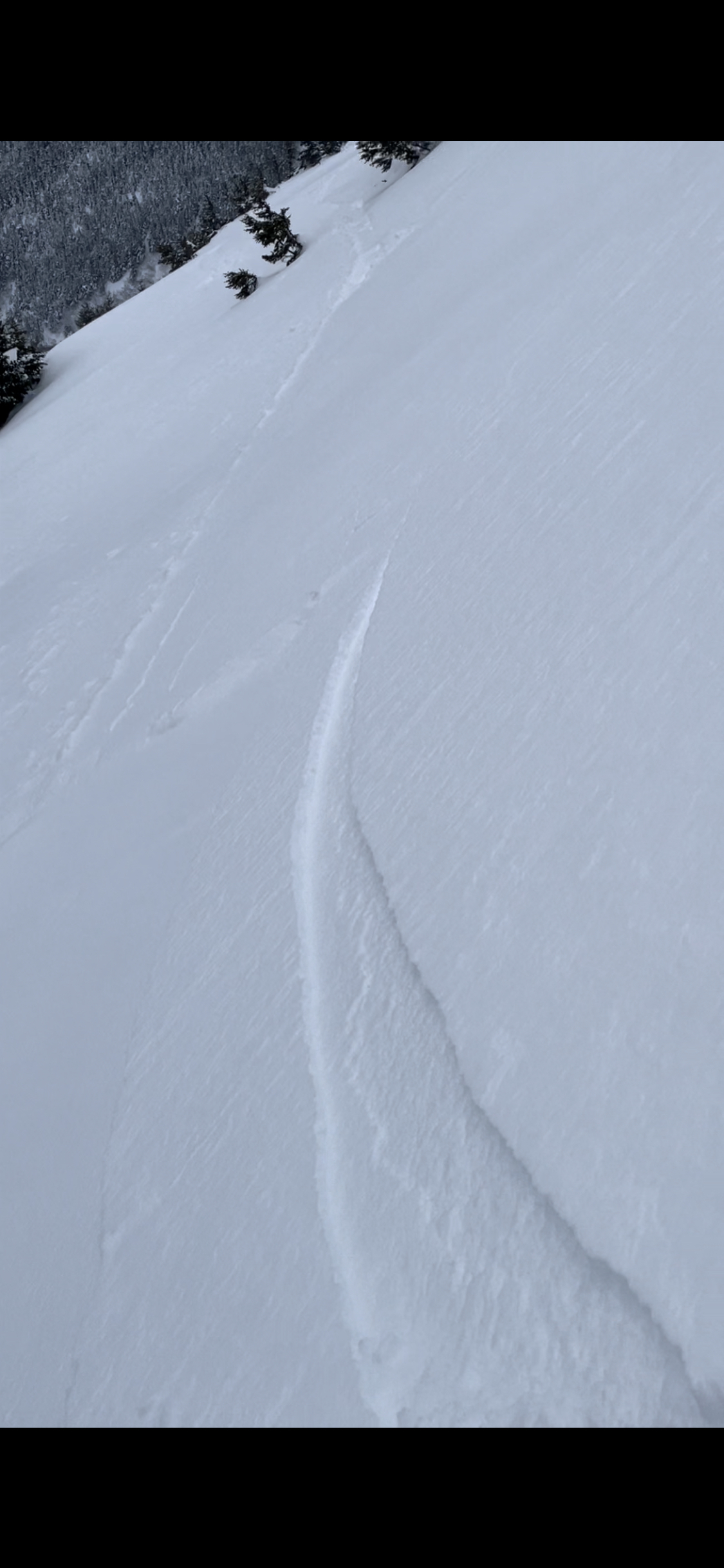
| Cracking (Shooting cracks)? | Yes |
Observation: Summit
Location: North Gilpatrick
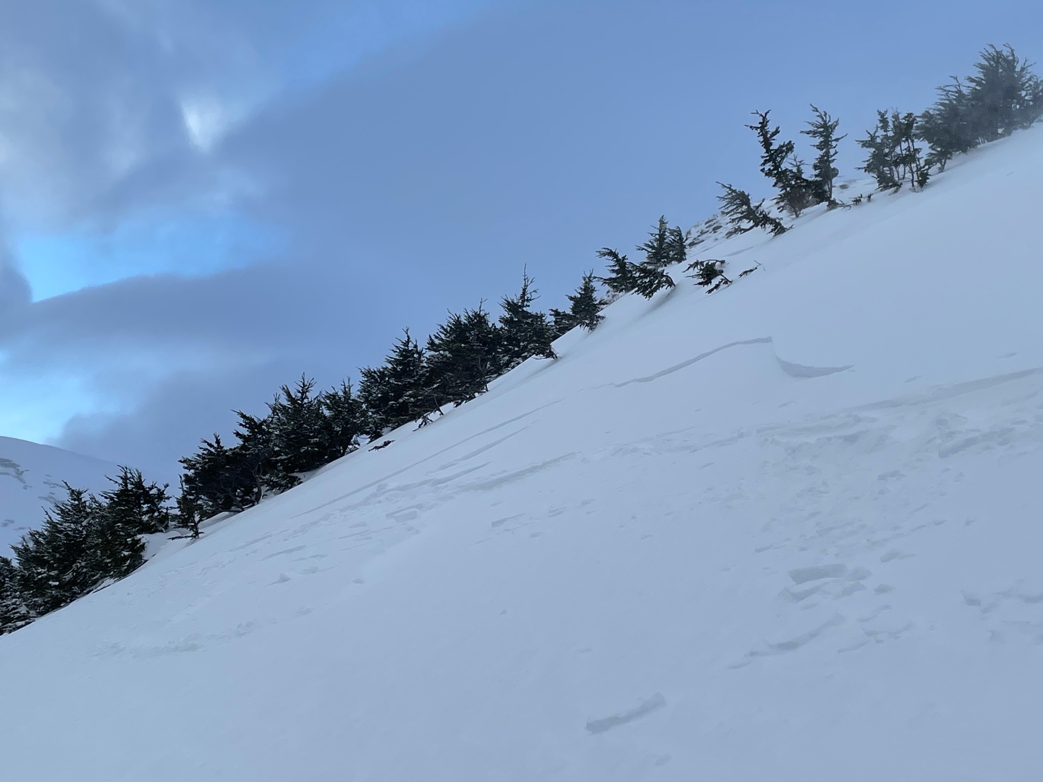
Toured up to brushline on E-SE face of North Gilpatrick. Observed active wind loading in the new snow and sensitive soft wind slabs forming and reacting.
Obvious signs of instability
Observer Comments
Observed wind loading in progress above approx. 2,500’. Poked around on some isolated steep rollovers and got several shooting cracks and small wind slabs to pop loose. These were fresh, soft, and very sensitive, breaking out 15-20’ in front of our skis. As of midday these were still thin, a couple of inches thick. Around specific micro-terrain features, closer to 6” thick. Still plenty of new snow to blow around up there.
Weather
Temp: -2C
Sky: Obscured trending toward overcast later in the day
Wind: Moderate gusting to strong above treeline from the West
Precip: None
Snow surface
New snow. Wet at the highway, transitioning to dry above 2,000’. Above 2,500’ wind effects became noticeable. These effects seemed to be highly variable depending on small terrain features.
Snowpack
Performed some quick tests on a small 45 degree rollover at 2,750’, E-SE aspect.
HS180cm (snow depth was highly variable in the area depending on micro-terrain features)
CT2 @15cm down, Q1, and then on the same column;
CT11 @25cm down, Q1
Immediately adjacent to first column;
CT3 @25cm down, Q1. This split on the interface @15cm deep while sliding off the column.

CT2@15cm deep, Q1

Top 50cm of snowpack with wind effects at 2,750’
Wind pocket approx. 40’ wide and 15cm deep
Small wind slab mid-release, approx. 15cm deep