None observed
Observation: Girdwood
Location: Max's Mountain
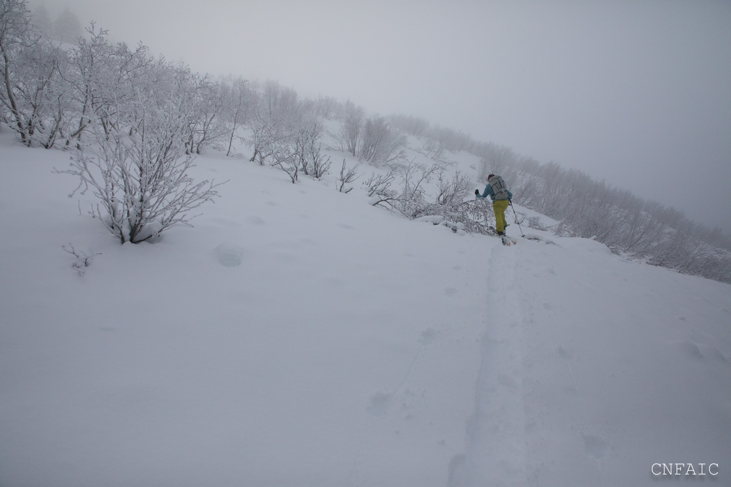
Standard route up Max’s West Ridge to 2450′.
Observer Comments
Weather
30F at car and mid-20F's at 2450'
Thick mid-elevation fog w/ ice fog sticking to alders and trees
Light NW wind above 2000'
Snow surface
300' - 1300' -mostly supportable melt freeze crust in the understory of the hemlock
1300': 1" loose on a 1" breakable crust with F hard snow below crust and a second 4" crust below that. See photo
1600': the upper crust disappears with 5" of loose snow on lower crust
2000'- 2450': 6-8" of loose surface snow. The lower crust is not noticeable with pole probing in this elevation band
Snowpack
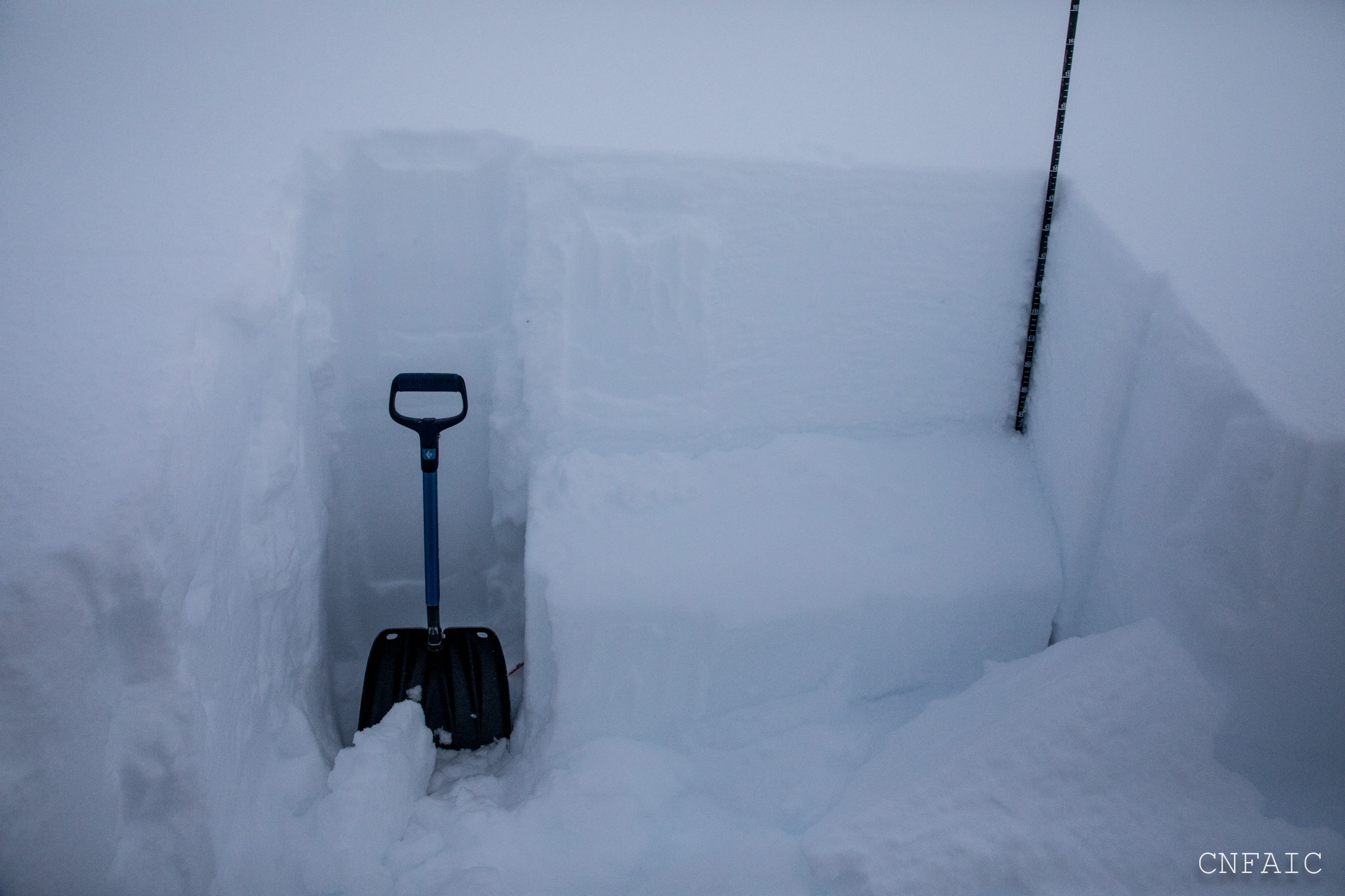
Test pit at 2450', West aspect, 30* slope, HS=146cm - Dug to the ground and our only layer of concern was (.5mm) facets mixed w decomposing fragments under a 2cm melt freeze crust. This layer was 4F hard and 4cm thick. Compression Tests failed with strong force (CT22, CT23 Q2) Extended Column tests were mixed (ECTX, ECTP29 PC) The second extended column progressively propagated between 26 and 29 taps. There was a pencil hard (+/_) melt freeze crust in the bottom 25cm of the snowpack. The ground interface had some moist melt forms and rounding facets.
We also dug a pit at 2400', but found chunks of debris within the top 50cm above the same m/f crust.
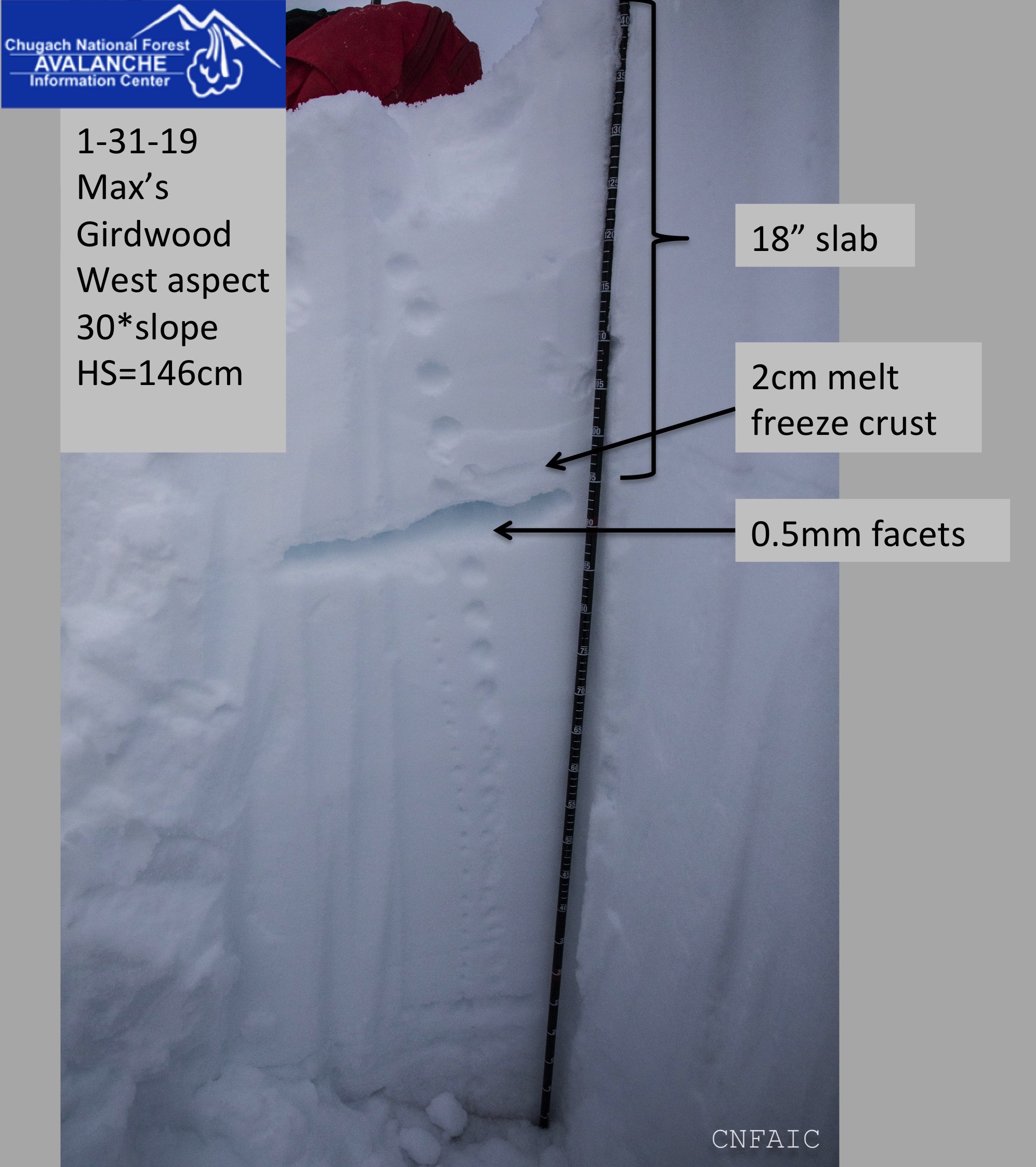
Pit at 2450'

Small faceted decomposing fragments on a 2mm grid
Second ECT failed under shovel at 26 taps but then progressively propagated with three additional taps
Surface conditions at 2000' with some soft roller ball chunks beneath a few inches of newish snow

Double crust found at 1300'

Alternated between boot packing and skinning on a mostly supportable melt freeze crust in the hemlock canopy.