None obvious
Observation: Summit
Location: Manitoba Mtn
Followed standard uptrack from Manitoba Hut to high point on W.face of Manitoba mtn at 2600 ft.
Observer Comments
Weather
Storm on 2/18 dusted area with 1-2 cm of light snow. Morning of2/19 saw clear skies with some local ST clouds forming below ridges in late morning. At 1400 temp was 27F with NW breeze at 2-3 mph.
Snow surface
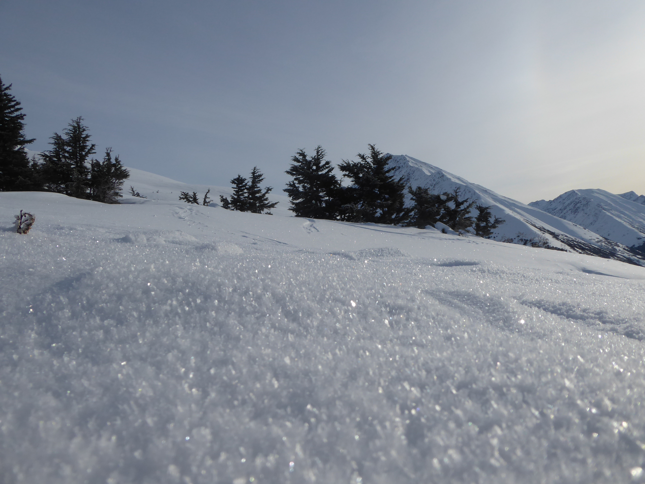
Loose snow to approx. 2550 ft. Above that elevation wind slab/loose snow mix (pic). Storm on 2/18 dusted old snow surface with 1-2 cm of light dry snow. Observed 1-2 mm surface hoar formation on new snow surface in open areas above 2100ft (pic). Formed during the previous evening when stopped snowing and skies cleared.
Snowpack
On 2/17 did quick pit at 2560 ft on 21 deg W. facing slope of Manitoba. Snowpack depth 165 cm with 35cm 4F snow overlying buried surface hoar layer. Got CT23, breaking on bsh layer and ECTN. No appreciable change noted with snowpack since that date other than dusting of new snow and sh development.
Surface hoar formation at 2300ft on W. face of Manitoba Mtn

View E. towards Manitoba Mtn. Note areas of windslab and antitracks on upper mtn above approx. 3300ft.