None observed, although 3-5" soft wind slabs forming on SW aspects above 2300 ft.
Observation: Summit
Location: Manitoba
Toured up the standard route on 1-23 and again on 1-24.
Jan 23: 6″ mod density new snow on surface 1/24 with light winds and no snow transport under partly cloudy skies. Temps in the high low 30s to high 20s above 2000 ft. no recent avalanches or signs of instability observed.
Jan 24: moderate winds overnight and during the day with snow transport. Previous day’s tracks completely filled and soft wind slabs at higher elevations.
Observer Comments
Weather
Partly cloudy. Temps in the low 30s at road elevation, to high 20s at 3000 ft. Winds 10-20 mph from E-SE with snow transport above 2300. Trace of precipitation.
Snow surface
Settled powder on Jan 23 transformed overnight to soft 3-5" wind slabs above 2300' Actively loading on W-SW aspects above 2300'.
Snowpack
Dug snowpit at 2200 near common approach track on a 23 degree slope. HS=145cm with 6" new snow at surface, with two prominent 1" melt-freeze crusts and an associated weak layer beneath, one crust at 120cm with a thin layer of F hard facets beneathe, and another crust at 80 cm with facets and buried surface hoar beneath (not intact/upright, but visible). Snowpack exhibited poor structure, but had high strength and low propagation potential with 2 ECT tests (ECTN 18). Planar shear upon levering column on the 80 cm crust/surface hoar

snow surface conditions 1-24-16--active loading

IMG_7978
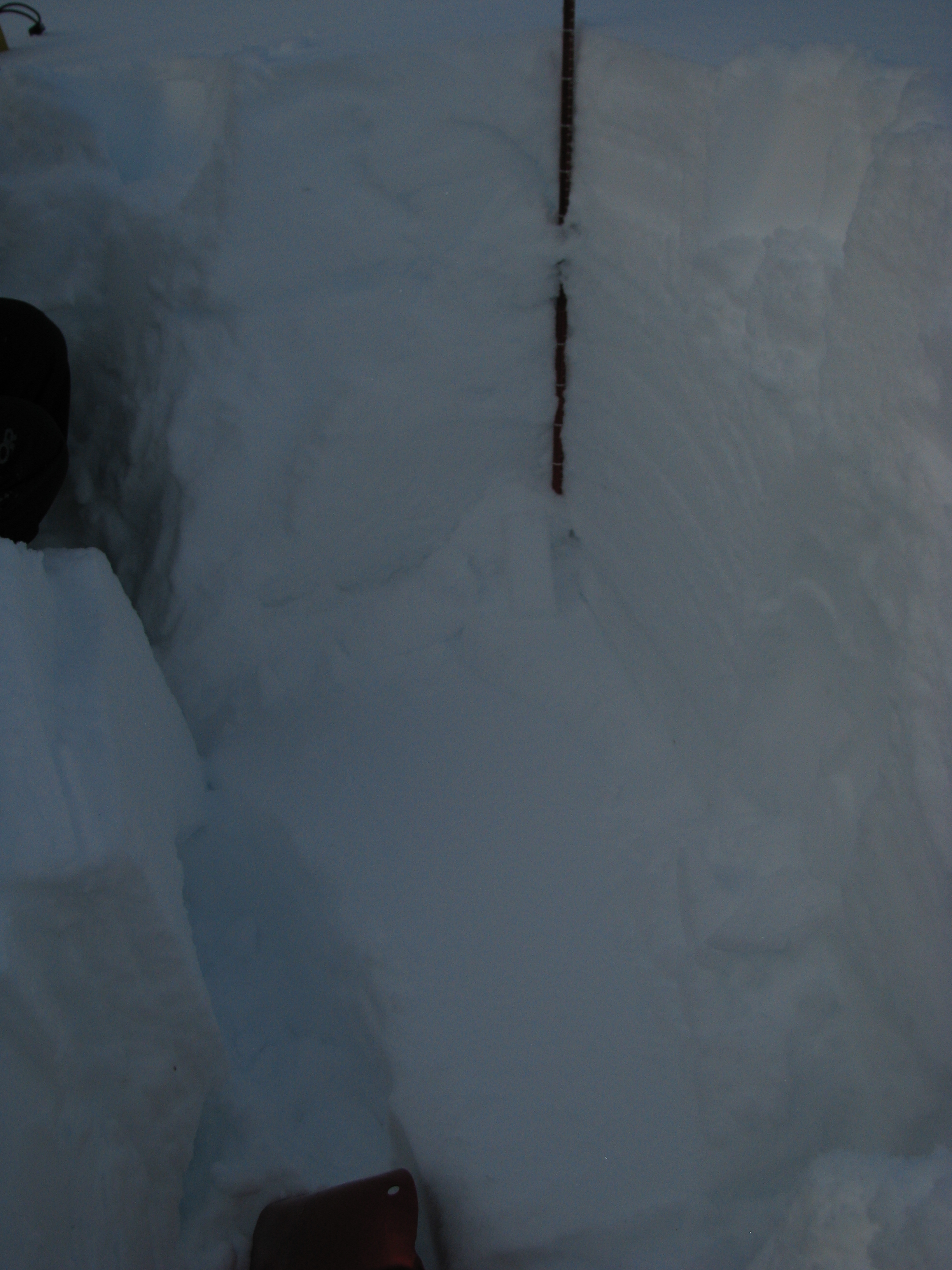
shear plane under 80 cm crust layer (on facets/buried surface hoar)

buried surface hoar (flat) under crust at 80 cm