Some recent small point releases (dry loose)
On Seattle Ridge SE aspect - small roller balls - possible solar affect
Observation: Turnagain
Location: Lynx Creek
Johnson Pass Trail to Lynx Creek
Observer Comments
Weather
Partly cloudy becoming clear by mid afternoon
Temps mid 20F's
Winds were light from the SE
No recent precipitation
Snow surface
4-6" of loose dry settled snow on a melt/freeze crust below 1500'. Two melt/freeze crusts were found below 1400' within the top 12" of the snowpack. Both crusts are more stout below 1200'.
Above this elevation there was 8-10" loose dry on the surface with denser snow below. Boot pen was 12-14".
Snowpack
* We found very little evidence of avalanche activity from the big Jan.26th storm that caused large natural avalanches on the South end of Seattle Ridge, Summit Lake area, and Girdwood. However we did find poor structure, a 3-4' slab sitting on weak basal facets in multiple places. Triggering an avalanche on this weak layer will be very difficult, but should someone find the right trigger spot the consequences could be very high. Multiple sleds on a slope or high marking onto a thinner area of the snowpack will be things to avoid.
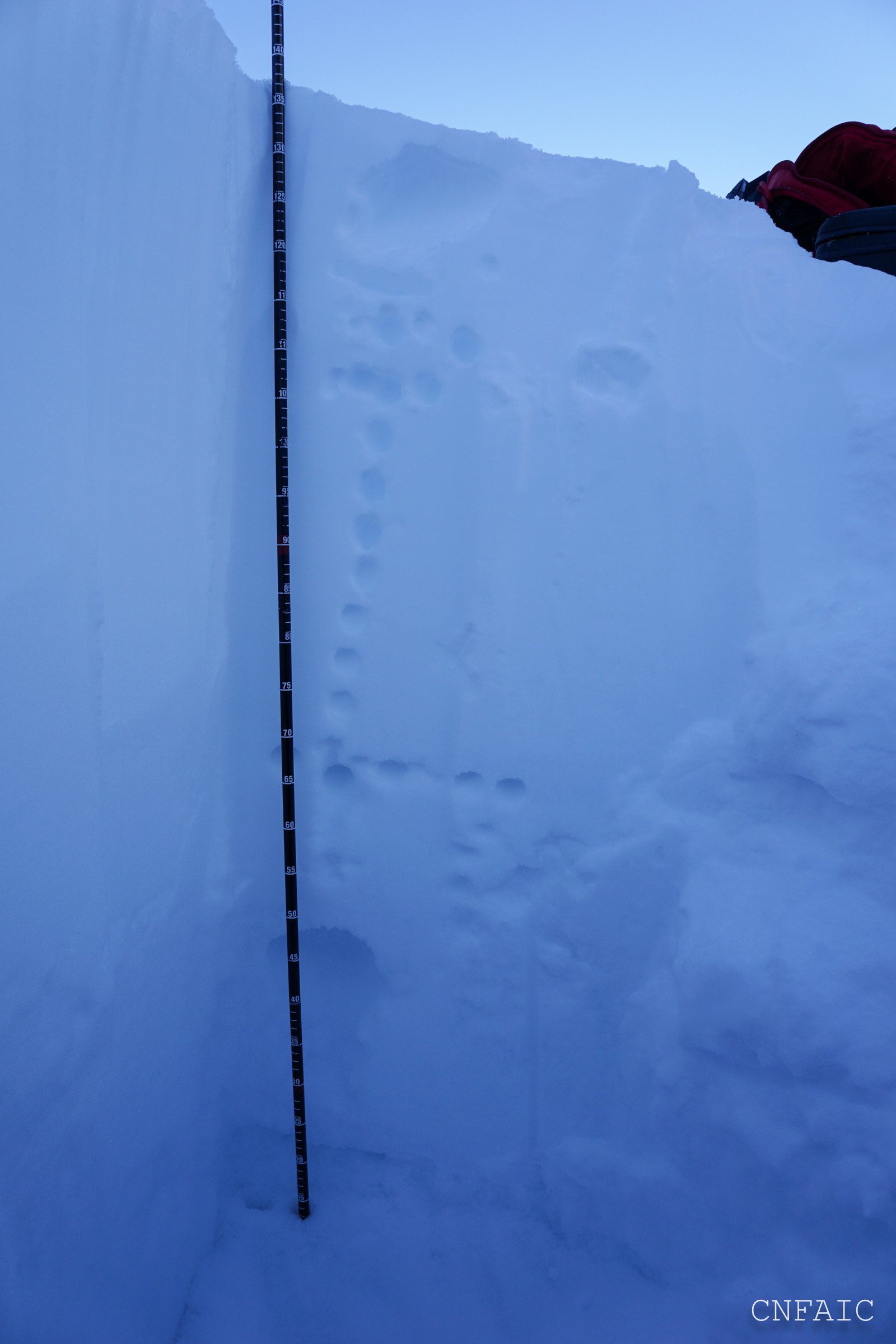
At 1400' we dug two pits and the height of snow ranged from 130cm to 160cm on a SW aspect. The Jan.13th buried surface hoar was found 2-2.5' below the surface in both of these pits. It took 30 taps to get it to propagate in Pit #1 and was not reactive in Pit#2. Basal facets were found in both pits sitting on an old deteriorating melt/freeze crust on the ground. This layer had 3'-3.5' slab (4F to 1F to Fist at surface) sitting on it and was more reactive in pit #2; ECTP22, CTV, CT12. In pit #1 it required extra force to get it to fail and it broke unevenly on the facets and deteriorating crust. CT13, ECTX. These facets were about 1.5-2mm in size and were slightly moist.
* The good news about the buried surface hoar is we did not find it at higher elevations.
Pit 2000' - NE aspect, HS= 135cm. A 6" layer of dry facets was sitting on a stout m/f crust (6-8" thick) above the ground. There was a Pencil to 1Finger hard slab sitting on it with 10" of loose settled snow near the surface. Tests CT29, ECTX on basal facets 75cm below the surface.
Quick pit at 2400' - HS=170cm, Did not dig all the way to ground, & no tests were performed. Just wanted to see if buried surface hoar was in upper elevations.
Dry loose point releases on a NE aspect in Lynx Creek
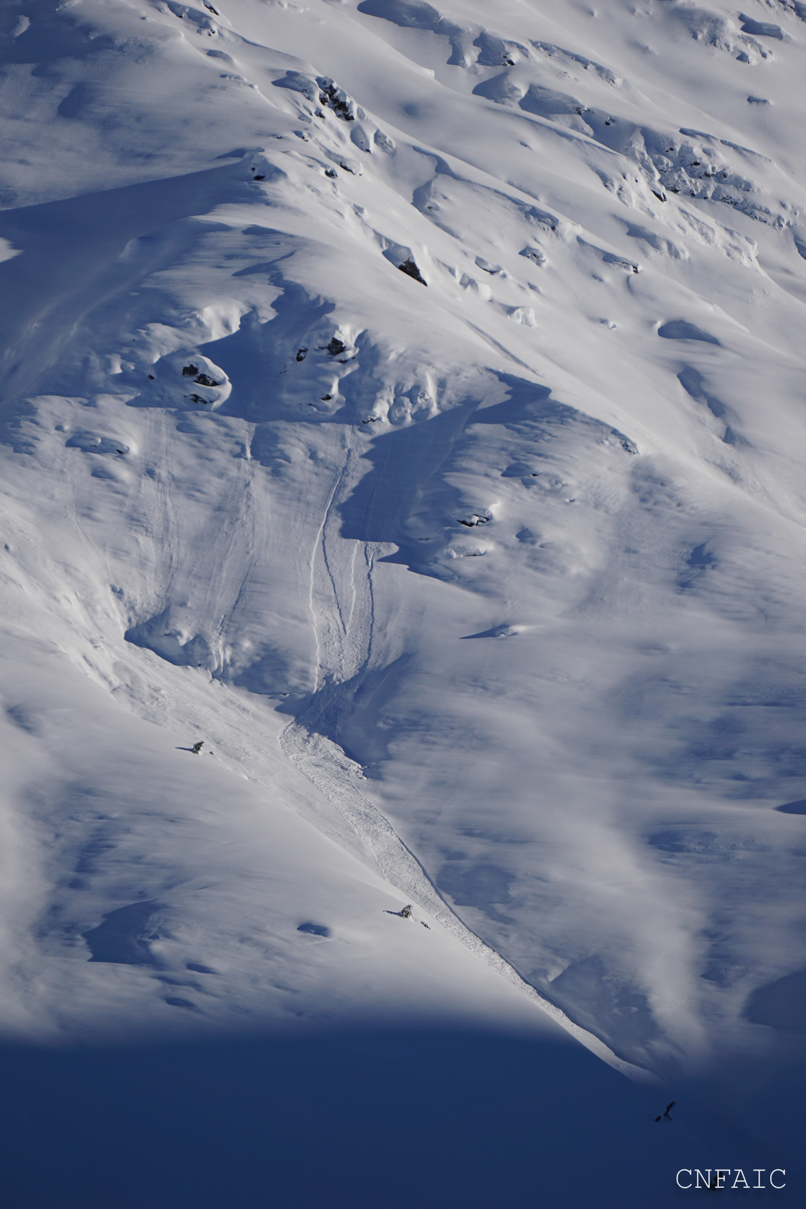
Dry loose point release on a SW aspect in Lynx

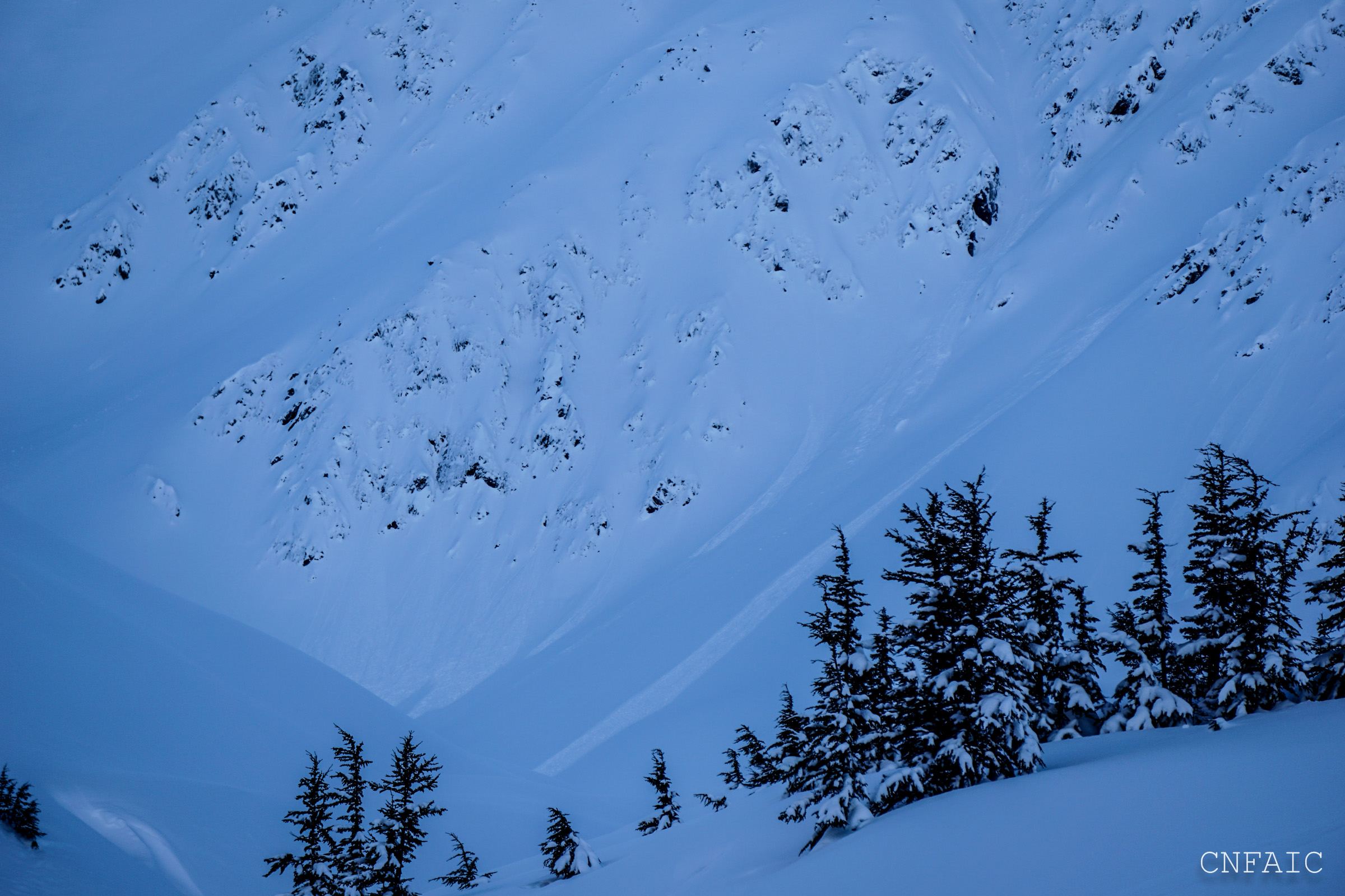
Small piles of debris could be seen, but no obvious large avalanche activity from the Jan.26 storm in Lynx

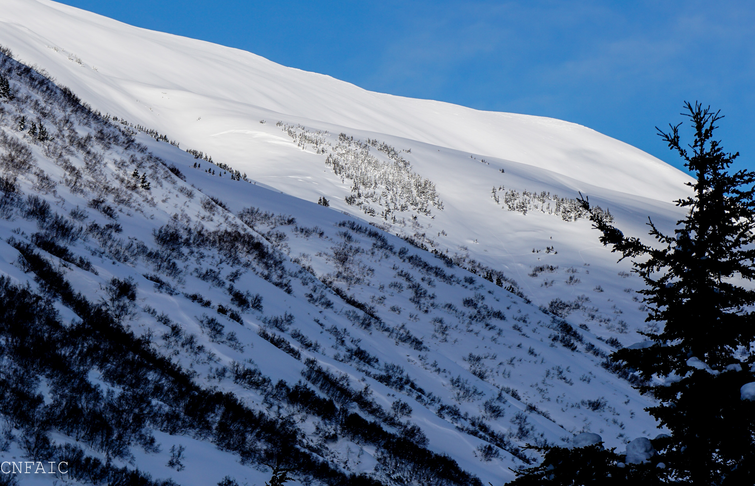
Obvious wind sculpting on SE facing slopes
Filled in Glide crack on SE aspect
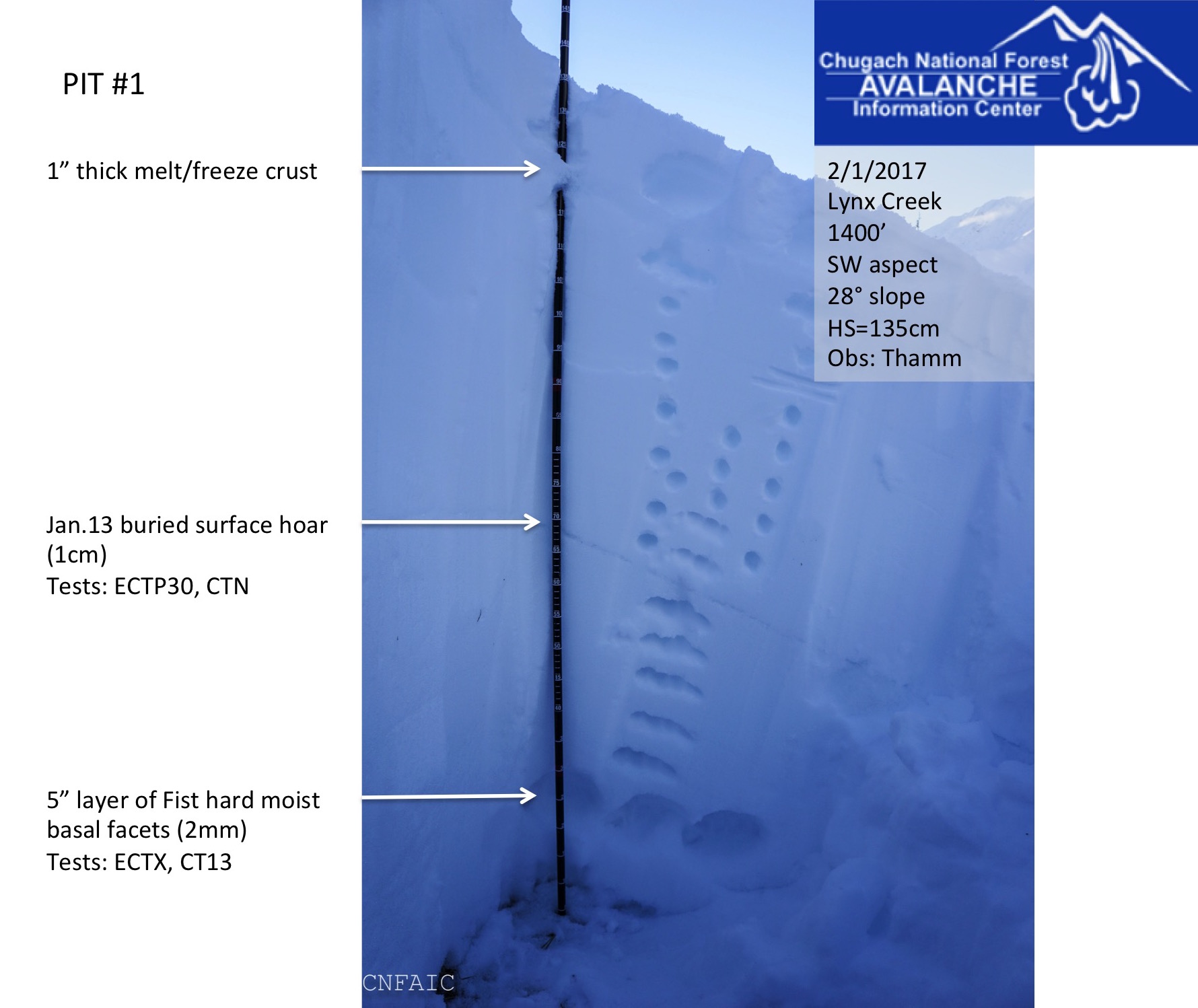
Pit #1 at 1400'

Large pieces of buried surface hoar that was not very reactive in pits, but was still very intact. Large grid size =3mm
Pit at 2000'. Most notable was the Fist hard facets, despite not having any interesting test results.
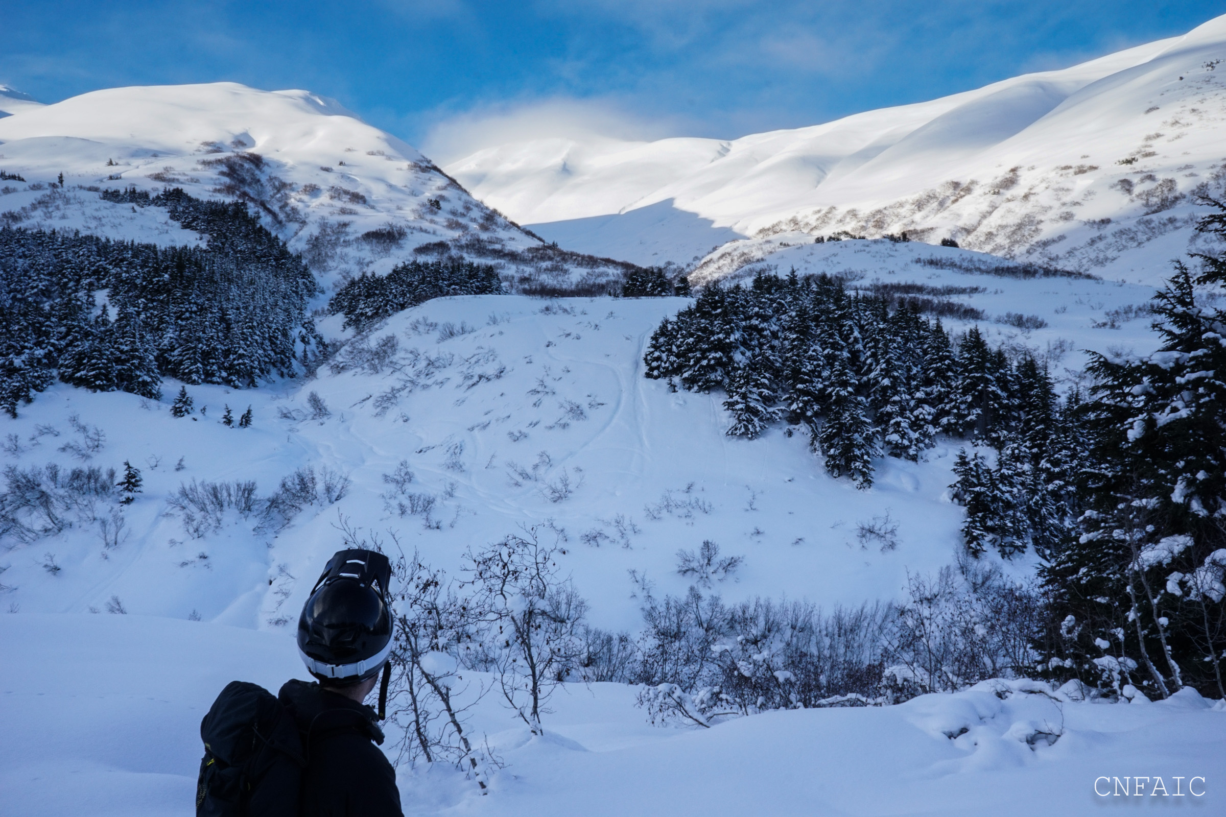
Graham looking up a drainage with a significant terrain trap just in front of him
Back of Lynx drainage