| Recent Avalanches? | Yes |
| Collapsing (Whumphing)? | No |
| Cracking (Shooting cracks)? | No |
Observation: Chugach State Park
Location: Harp Mountain -- South Fork Eagle River
Skinned up from Hiland Rd, along the drainage. Very low snowpack, mostly wind scoured with wind loaded drainages. Dug two pits at 3200ft, continued further up W aspect until finding many hard wind slabs around 3800ft. Skied down stable snow in drainage.
Obvious signs of instability
Observer Comments
Spotted the crown and small portion of a recent slide on the NW aspect of the north bowl, just off the ridgeline(sorry no photo).
Weather
~35F at the road, cooling to around 25F at 3800ft. Winds around 10mph from the West.
Snow surface
Many wind slabs on west aspect slopes, less than 30cm in depth, pencil hard on loose faceted snow near the ground, about 10cm in depth. Drainages were filled in with wind deposited snow and old settled snow, varying between 70-110cm in depth.
Snowpack
Dug two pits at 3200ft on a WSW aspect in a deeper wind loaded area.
Pit 1: Snow depth - 70cm, ECTN 21, collapse 30cm from top on wind/old snow interface, 20cm wide. After hammering shovel beyond ECT, propagated on faceted snow 10cm from ground.
Pit 2: Snow depth - 110cm, ECTN 21, collapse 40cm from top on wind/old snow interface, 30cm wide, propagated after heavy prying behind ECT column on same layer as pit 1.
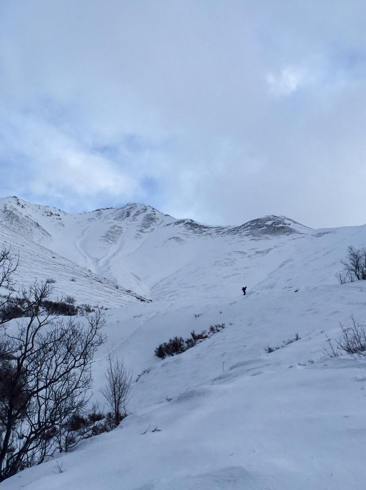
Shows wind scouring and filled in drainages.