Rain on snow is creating surface loose/wet snow avalanches(D-1) at mid to lower elevations. From 2800' and below.
Observation: Summit
Location: General Observation (Road obs)
Summit Lake was cloudy with poor visibility for much of the day with Rain. Numerous loose/wet snow slides were seen at mid to lower elevations. These were very shallow however were showing signs of instability due to Rain up to estimated 2500′ level. Continued milder temperatures and Rain Rain/Snow mix forecasted thru the weekend. Signs of Glide Cracks that have released south of Devil’s Pass and new glide cracks forming outside the main observation area in the Carter Lake Area.
Observer Comments
Weather
Summit Lake: RAIN.. Temperature 38-40F (0.8" new precipitation) Snow Depth 31"
Summit Lake MP45(Elevation 3800') Temperature 27F
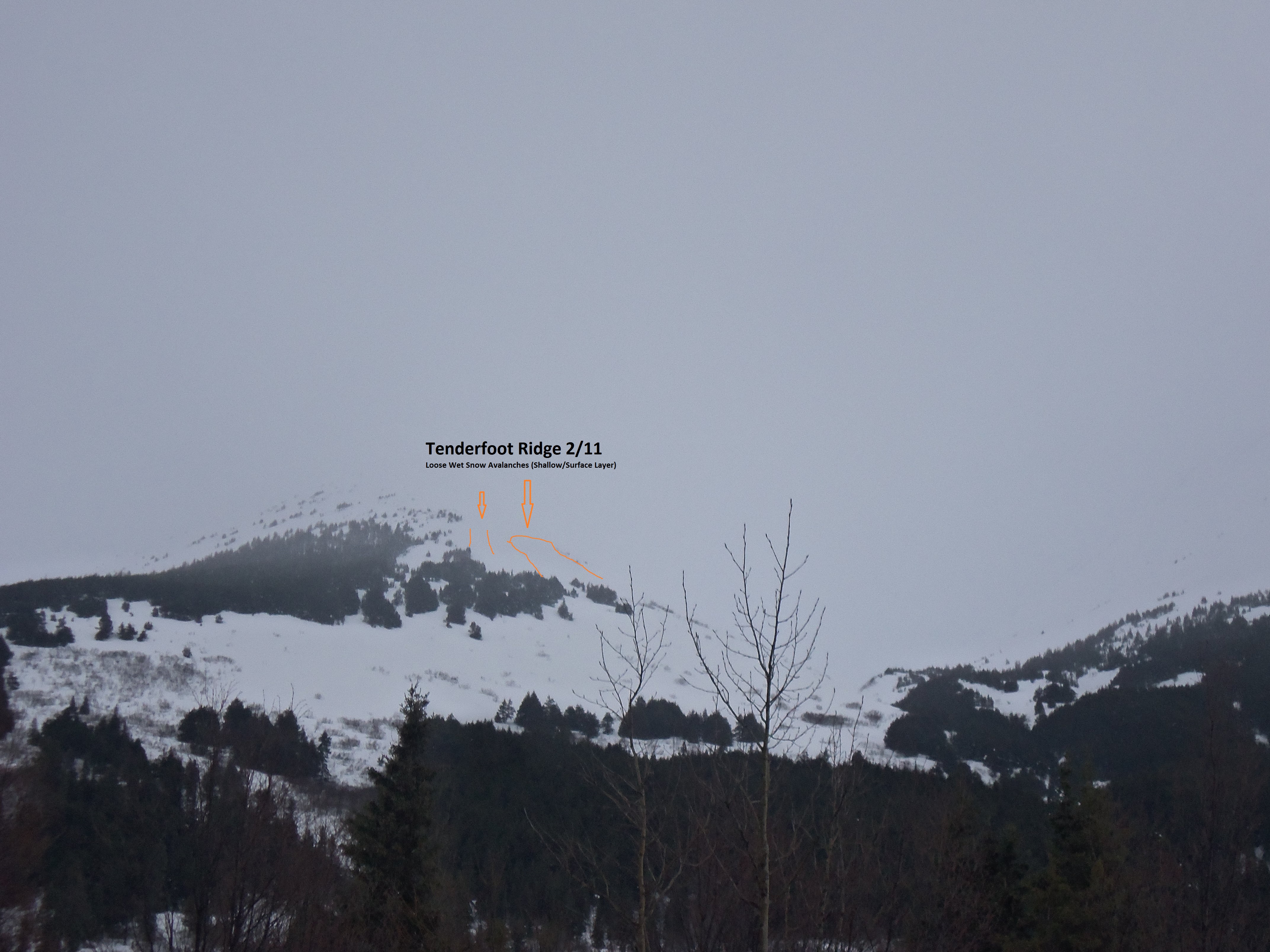
Tenderfoot Ridge 2-11-16 Orange line indicates where loose wet surface slides have happened (Shallow depth)

Tri Tip (AKA Paluki)2-11-16 More loose wet surface slides (Shallow)