Summit Lake: Current Temperature 15F (Past 24 hours High 27 Low 15)
Wind S 9 mph gust 12 mph (Past 24 hours light NE winds that shifted from South)
Sterling Y 3700': 17F temp, Wind variable 2-8 gust 10mph
Colder Temperatures and clear sky continue to hold on. Summit Lake still has thin snow cover at lower elevations and wind affected snow and ridges that are bare from previous wind events 1-5-17. A new layer of Surface hoar has formed near valley bottom up to 2-3cm thick. See pictures below.
Summit Lake: Current Temperature 15F (Past 24 hours High 27 Low 15)
Wind S 9 mph gust 12 mph (Past 24 hours light NE winds that shifted from South)
Sterling Y 3700': 17F temp, Wind variable 2-8 gust 10mph
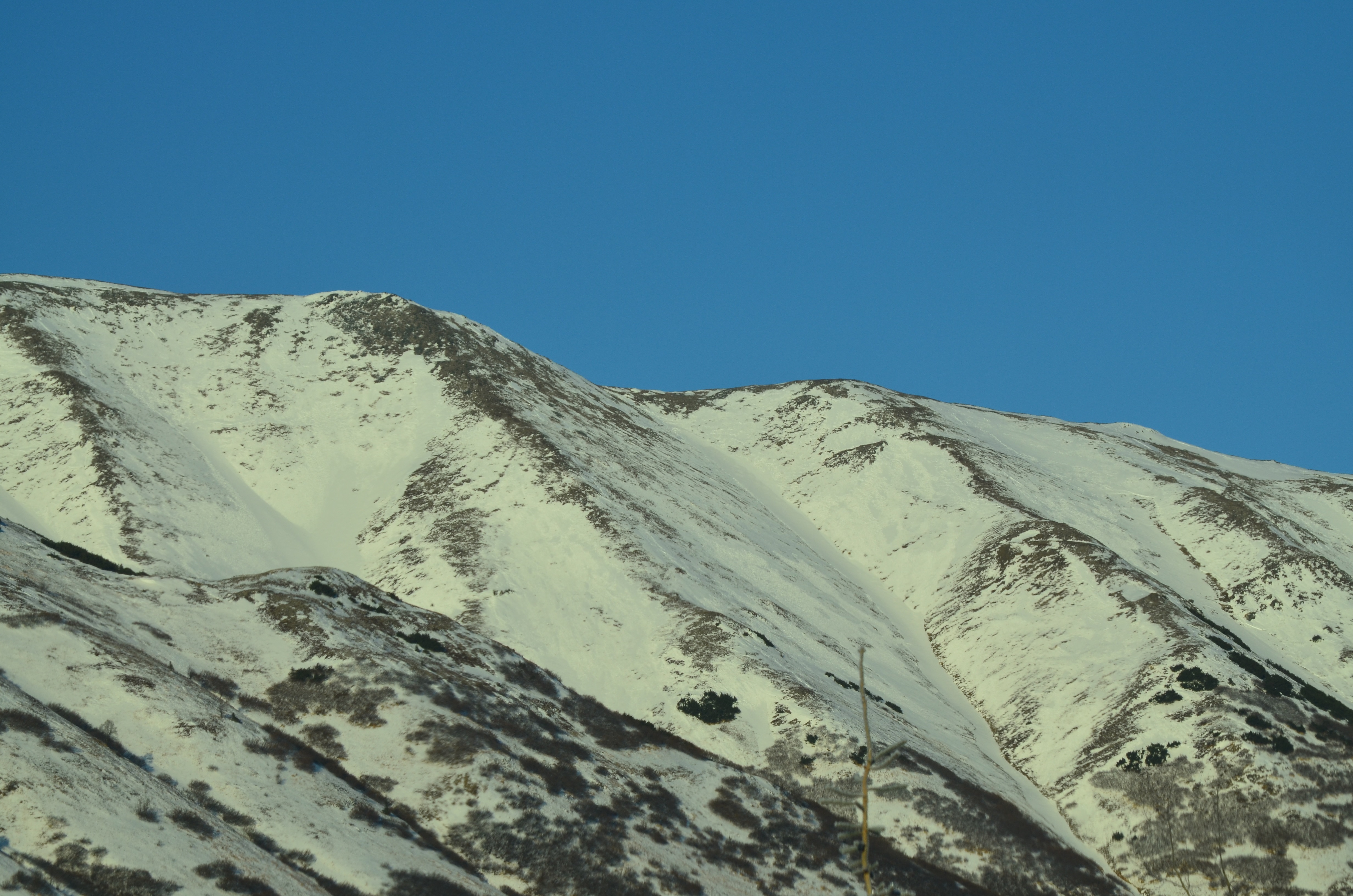
East Aspect upper elevation snow coverage
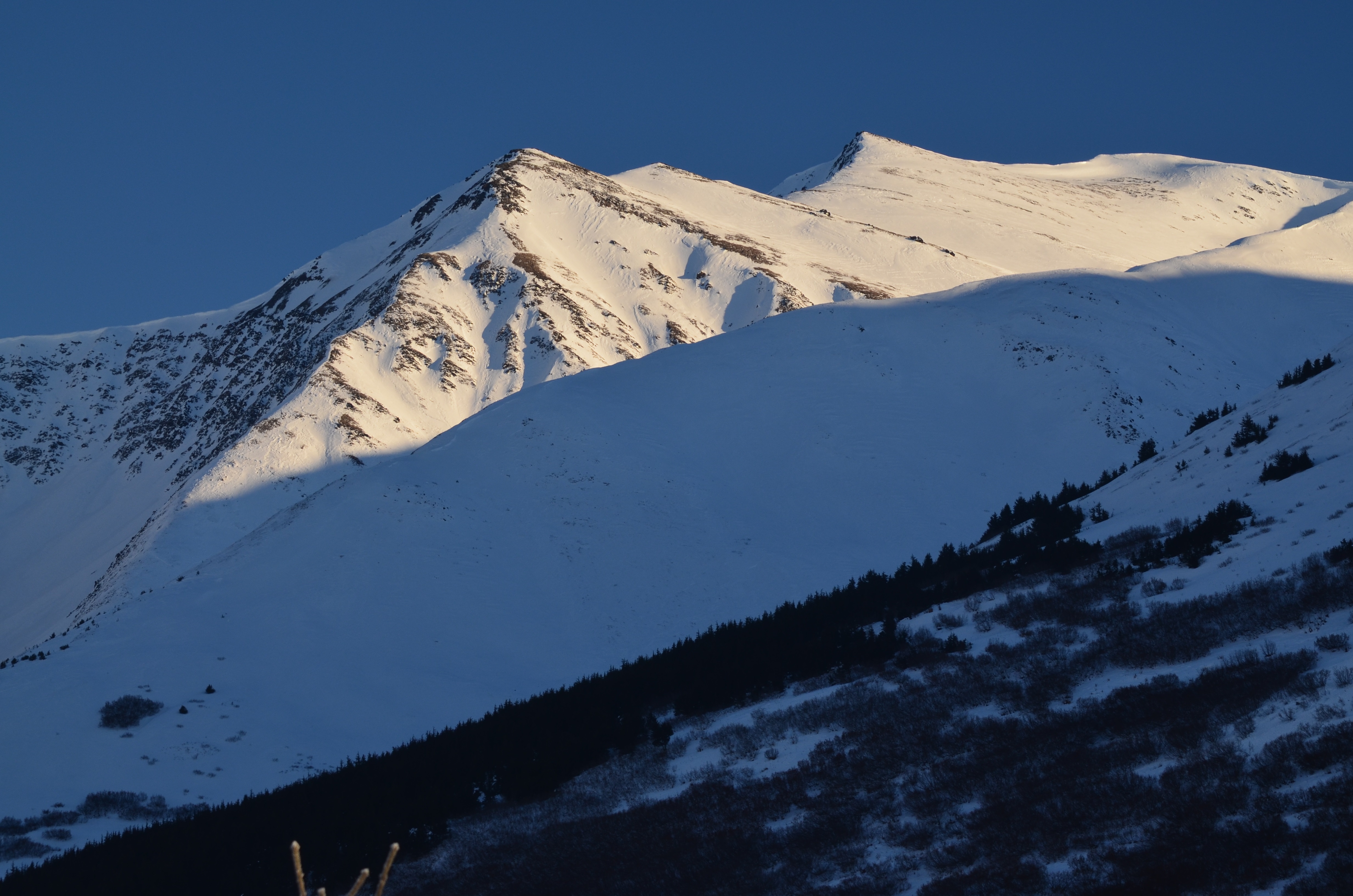
Tenderfoot Ridge and Incredibowls
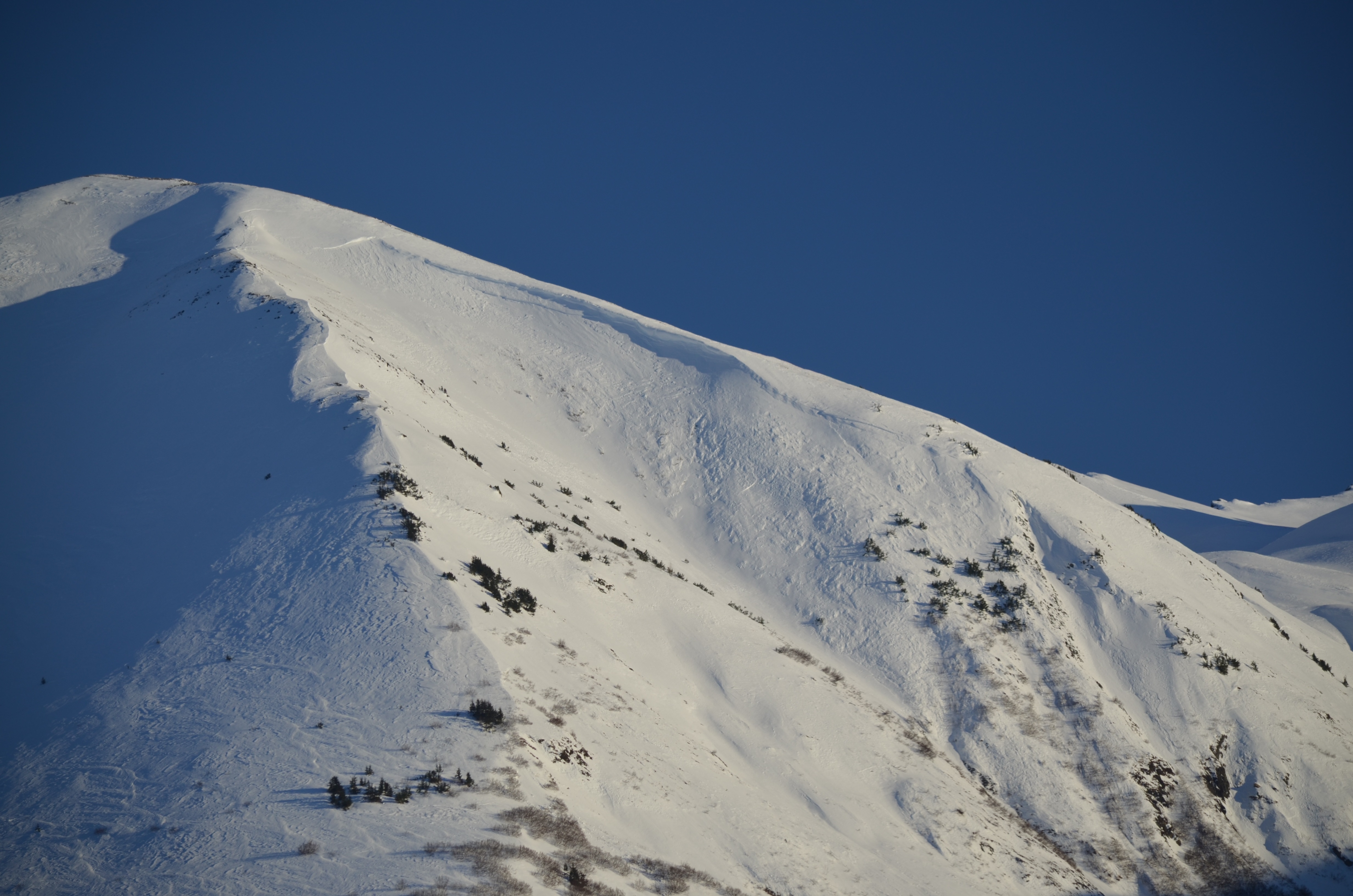
North end of Summit Lake Pass snow coverage
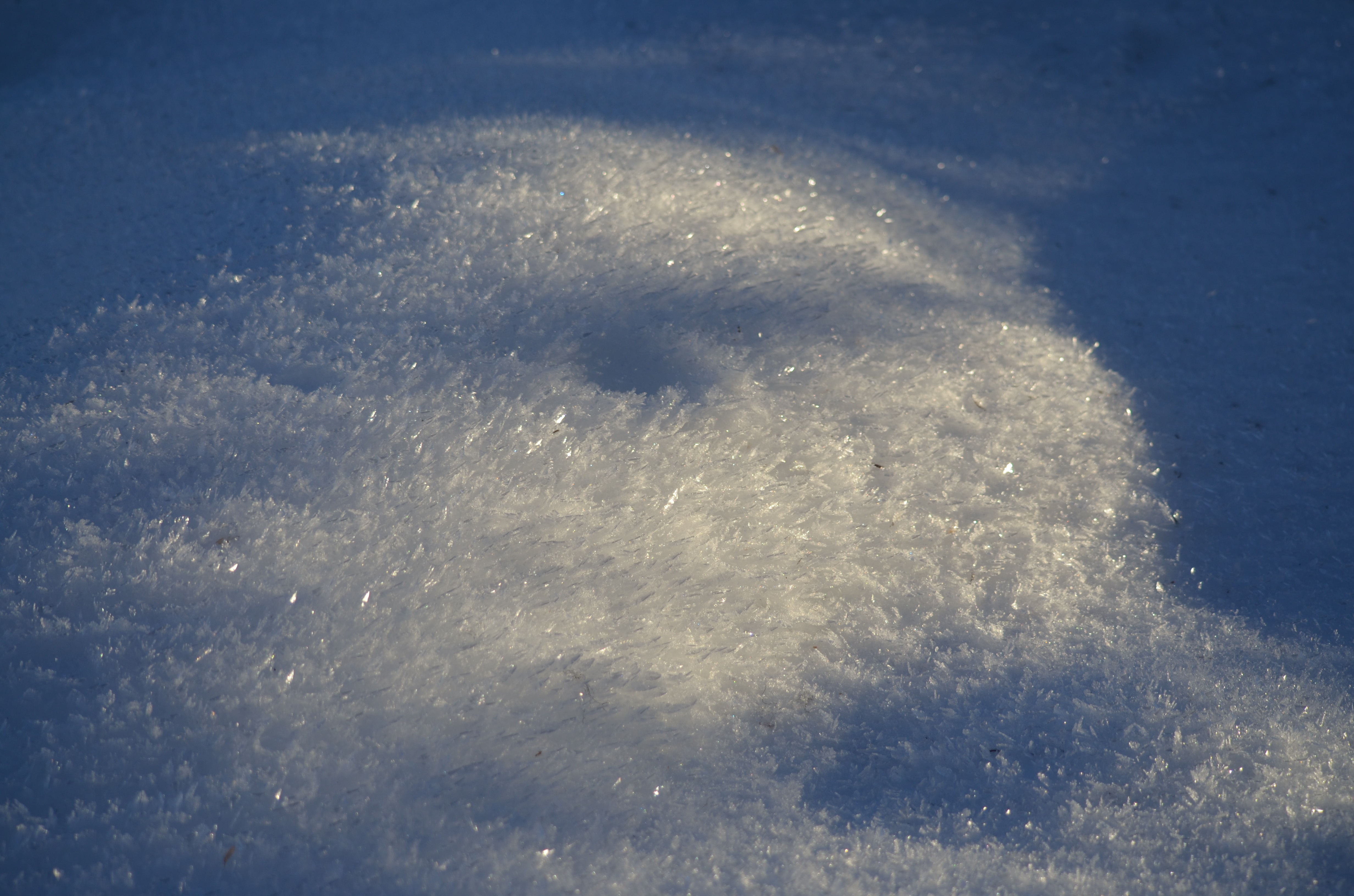
Surface Hoar 2-3cm (Near Fresno North)