| Recent Avalanches? | Yes |
| Collapsing (Whumphing)? | No |
| Cracking (Shooting cracks)? | No |
Observation: Summit
Location: General Observation
Snow past twenty four hours over the region with snow totals ranging from 12-16″. Winds ranged from Southerly early in the storm and turned to NNE winds.
Obvious signs of instability
Observer Comments
Wind loading at all elevation bands.
Weather
Summit Valley Bottom: 35F Past 24 hours Low 28F High 35F. Total snow depth 38" up 8" past 24 hours. Other areas were measured with readings of new snow ranging from 12-16" of new snow.
Summit MP45 (3800' elevation): Current Temp. 19F Past 24 hours: Low 18F High 20F.
Winds: Easterly 5-15mph peak gust from E 30 MPH. (Ranged from SSE to NNE during past 24 hours)
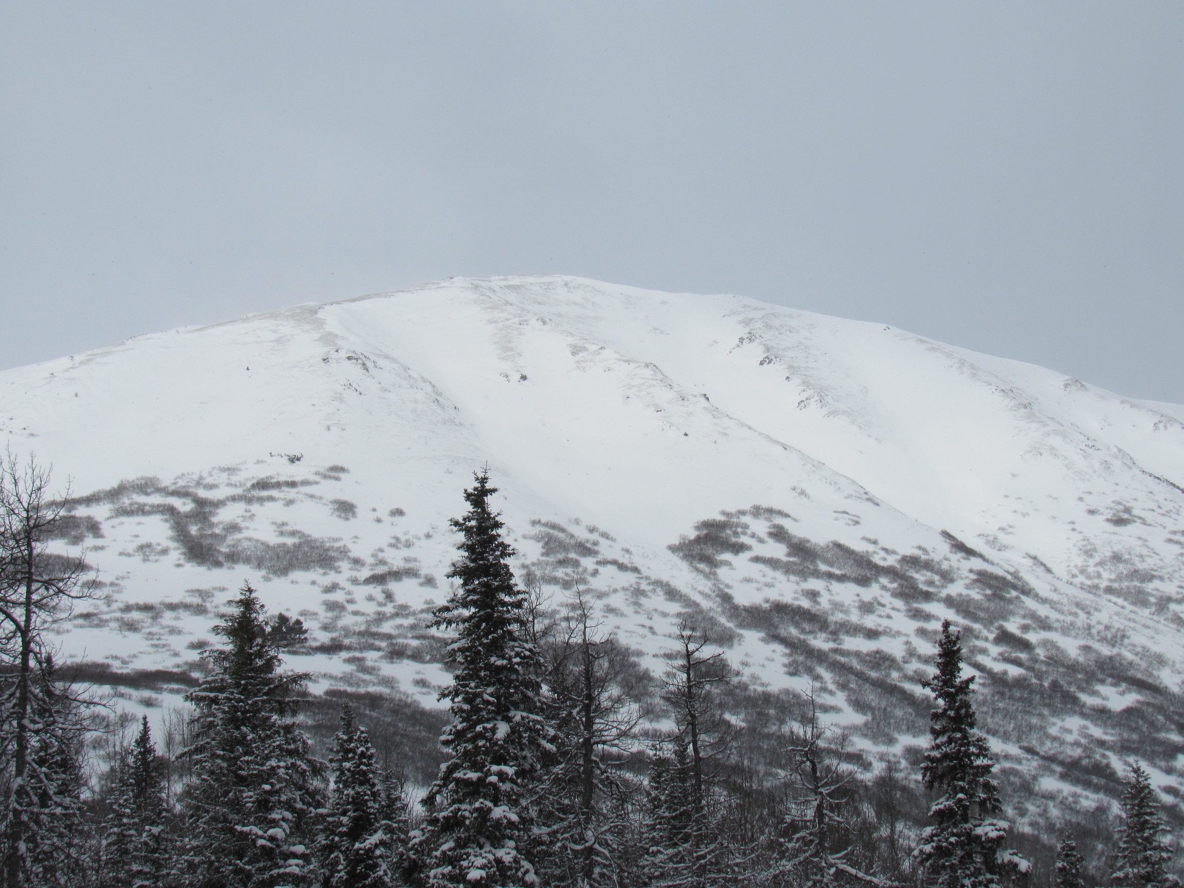
Summit Peak very shallow snowpack due to winds transporting snow.

Recent avalanche debris in gullies of Butch, West aspect. Poor visibility.