Previous avalanche activity from the past week mainly on West aspects.
Observation: Summit
Location: General Observation for Summit Lake
Generally very thin snowpack up at Summit Lake with a crust and a trace of snow on top at lower to mid elevations. Areas of bare ground were visible at all elevations. Avalanche activity from earlier in the week could be seen. Flat light and poor visibility at the time of observation.
East aspect, Summit Peak with debris from avalanche earlier this week.

East aspect, Fresno Peak.

East aspects, Colorado Peak.

Observer Comments
Weather
Summit Lake: Snow Depth 9" at the road level.
New snow: Trace amount. Air Temperature 27F Past 24 hours Low 24 High 31.
Summit Lake Mp 45 weather station (3800'): Temperature 28F Winds SSE 5-10mph peak gust 14. Past 24 hours winds went from NW to SSE.
Snowpack
Dust on Crust at lower to mid elevations. Areas wind scoured to bare ground at upper elevations.
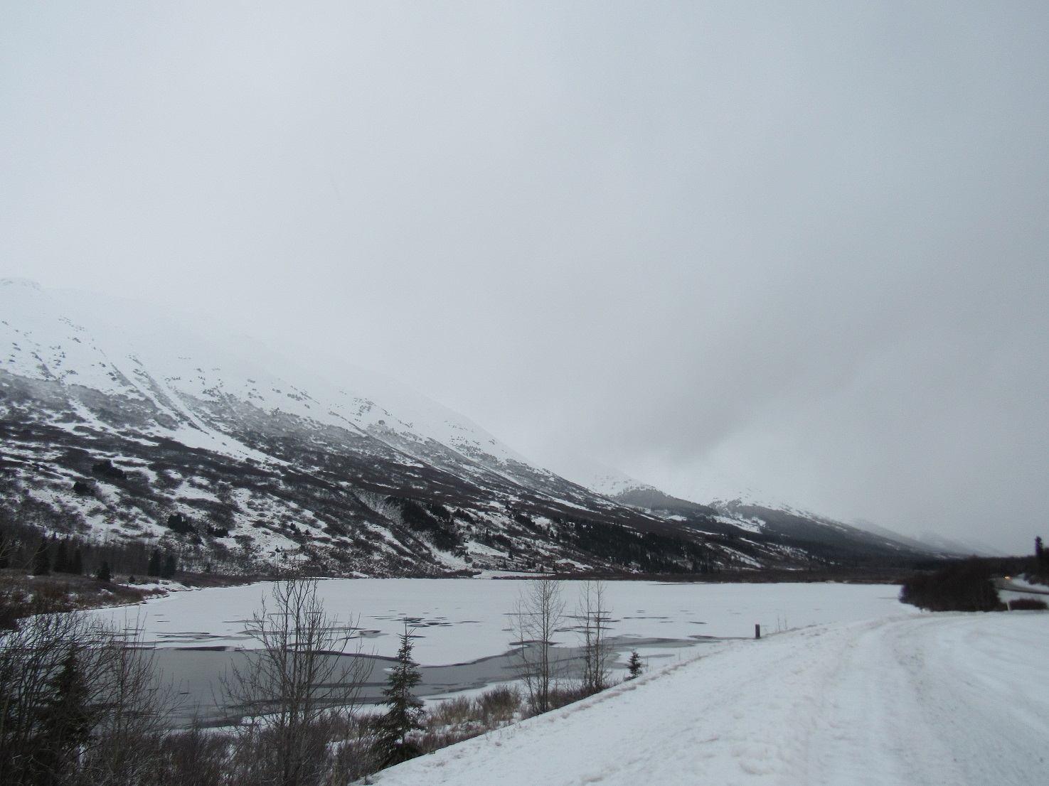
Looking South from Lower Summit Lake
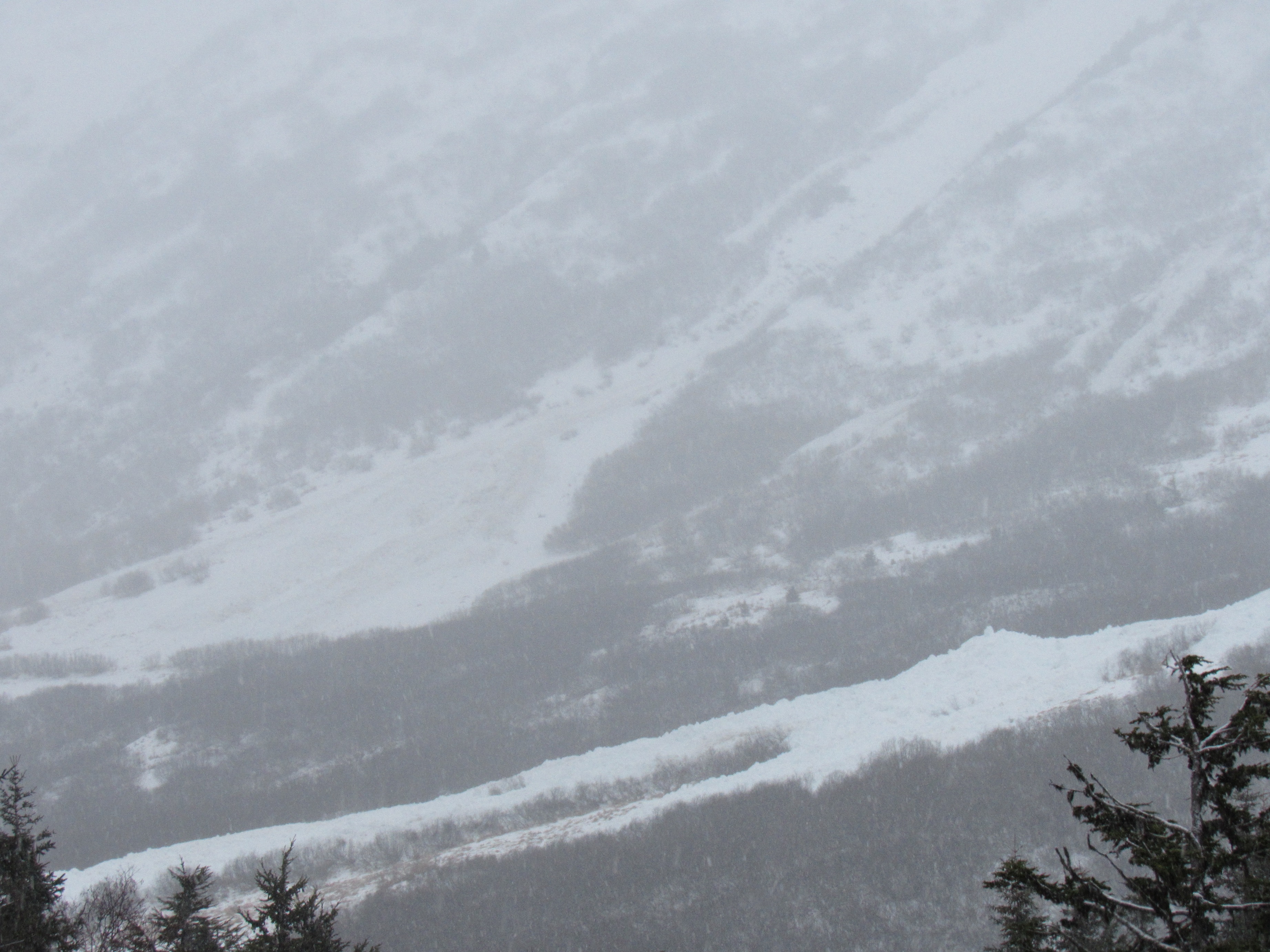
Avalanche activity from earlier in the week.