
Natural Avalanches on recent windslab East Aspect of Colorado Peak
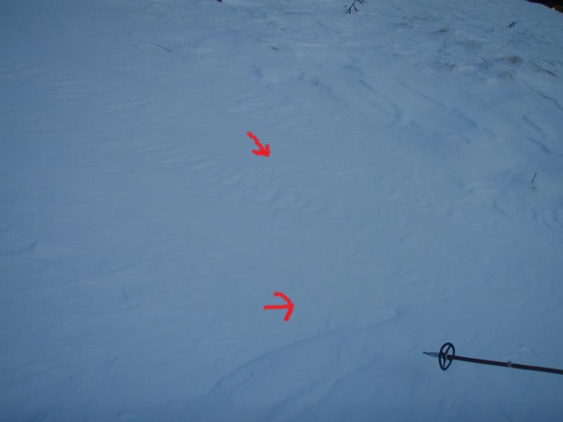
Crack that formed while descending South Aspect of Fresno Ridge 10x10' above me slope angle 25 degrees
Today I went up Fresno Ridge and found shallow snow and cold temperatures that
dipped down to -2F. Winds were NW, 10mph gust 20-30 mph. Recent avalanche
activity in upper loading zones of Colorado Peak on east Aspect.
The snow pack is very shallow with 16-24″ of snow at mid elevations with some
wind effect. The snow structure was light snow on top of a slab that was about
6-8″ thick and facets (sugar snow) below that. Pit tests were failing with
moderate difficulty CT10 Q2/3)30 cm down below the slab. While we traveled
we had one “whumph” that was minor and cracked the slope above while
descending. The slab that cracked was newly deposited wind slab 6″ thick
on a south aspect. It cracked an area 10×10′ above me. Overall things were good
with some wind loading on east and south aspects. The recently wind loaded areas
were the most reactive so be looking out for those. Dress WARM!
Natural Avalanches on recent windslab East Aspect of Colorado Peak
Crack that formed while descending South Aspect of Fresno Ridge 10x10' above me slope angle 25 degrees