Snowing and active wind loading
Observation: Summit
Location: Fresno Ridge
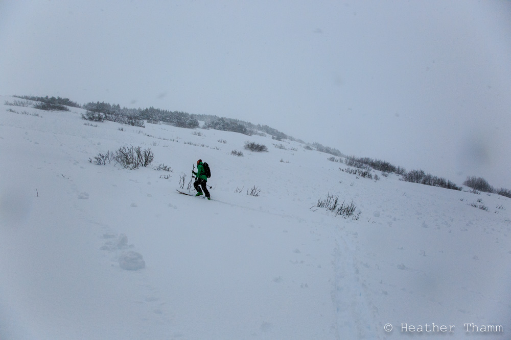
Fresno Ridge to 2700′
It was raining along the road until 1600′ and snowing 1″/hour while we toured. NE winds were blowing 15-25mph loading SW slopes.
Observer Comments
Weather
Precip; Raining below 1600', Snowing 1"/hour (S2)
Winds: NE 15-25mph
Temps: 36F at Road
Sky: Obscured with patches of fog below 1600'
Snow surface
1300' - 4" of Wet Snow
1700' - Thin layer of wet snow on surface with dryer snow below
2000' - 2700' - 10-12" new snow
Snowpack
*Multiple layer of m/f crust were observed below 2500' throughout the snowpack
Pit at 2500' - See photo diagram for details - snow height varied from 60cm to 120cm - dug in a large meadow surrounded by trees, We did not find buried surface hoar, but did find a non-reactive layer of facets between two crusts. Found fair stability in top 12" and good stability below this new snow.
Pit at 2650' - See photo diagram for details - snow height varied from 100cm - 200cm in this area. Found a layer of non-reactive, but intact buried surface hoar. Found fair stability in top 10-17" of new snow which did not propagate in Extended Column test.
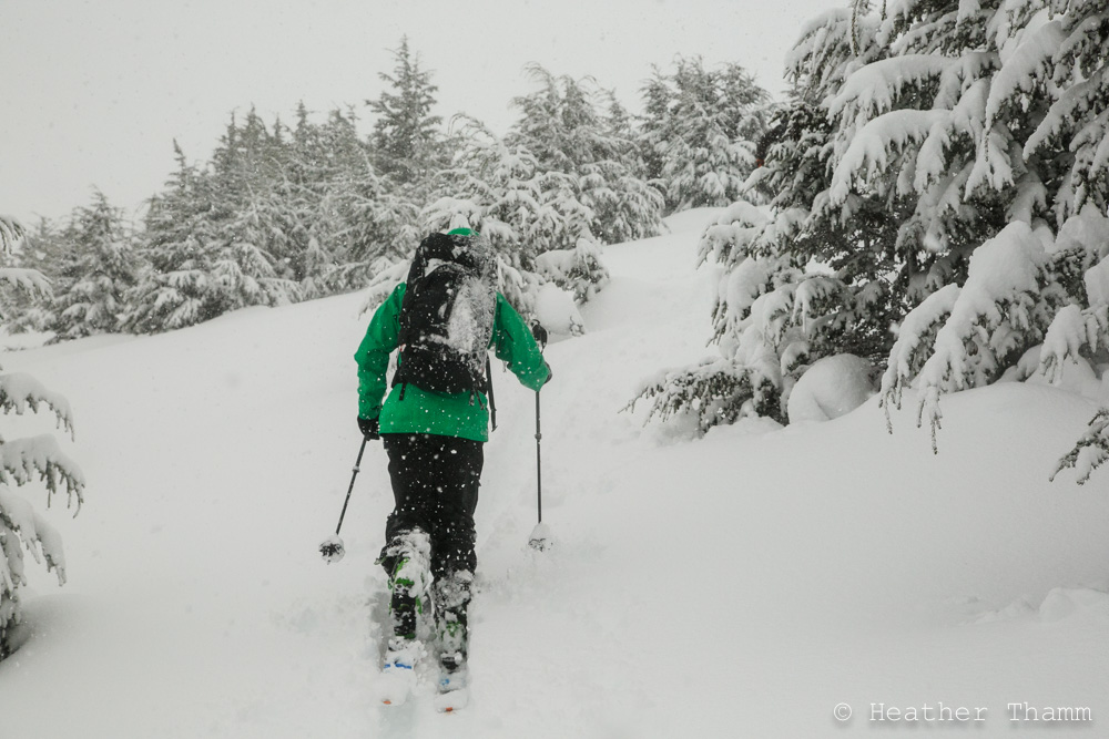
NE winds were blowing wet heavy snow as seen on backpack
Wind rollerballs found below 2500' due to warm heavy snow and moderate winds
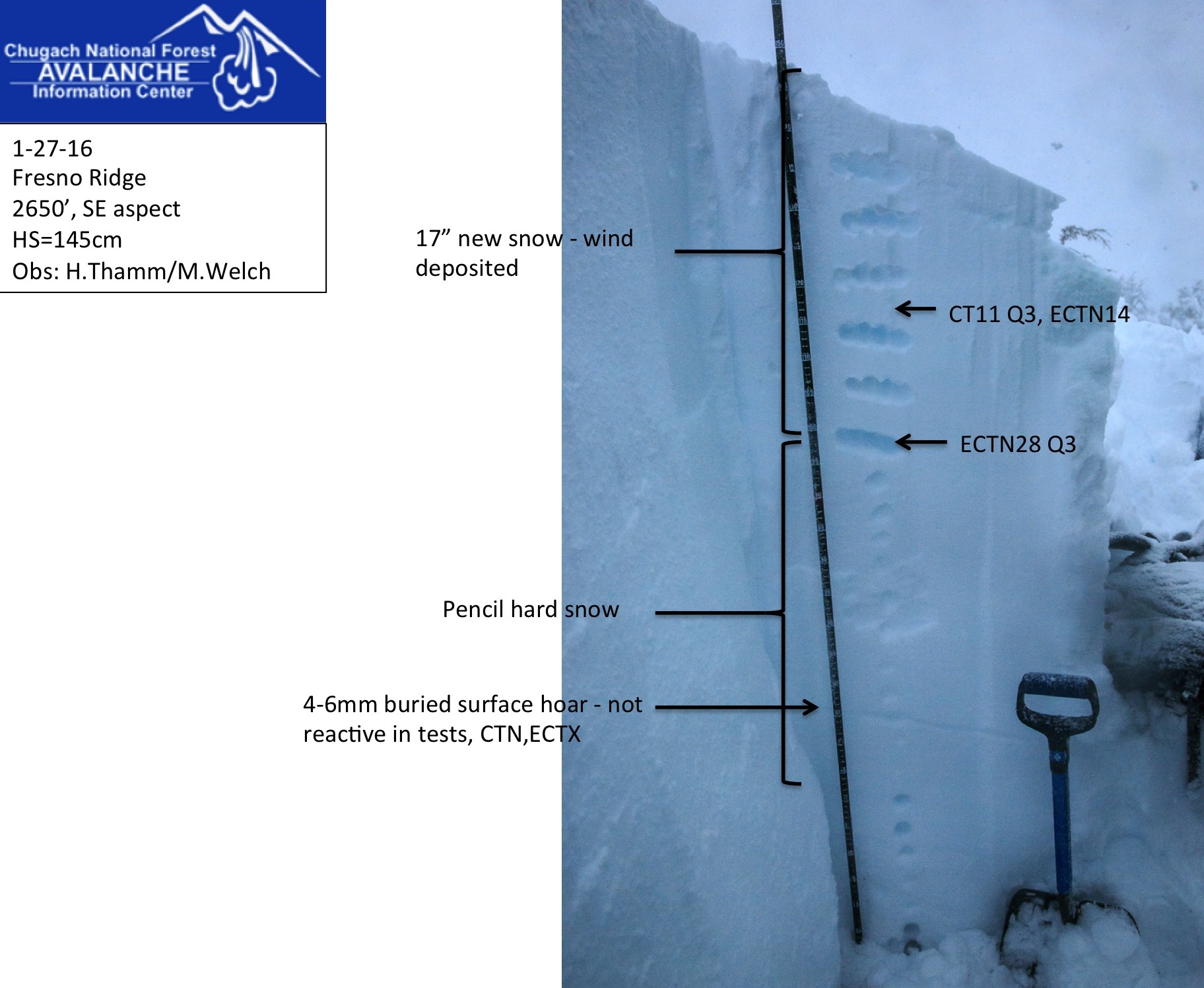
Snowpit at 2650' on Fresno Ridge

Snowpit at 2500' on Fresno Ridge

After applying exceptional sideways force to a column, the buried surface hoar layer eventually failed