| Recent Avalanches? | No |
| Collapsing (Whumphing)? | Yes |
| Cracking (Shooting cracks)? | Yes |
Observation: Summit
Location: Fresno Ridge
Ascended east aspect of Fresno ridge to 2,300 ft. Good skiing but east facing aspects have been wind affected since 2/15/2020.
Obvious signs of instability
Observer Comments
Collapsing and Whumphing observed while setting new skin track
Weather
~0.5" (road level) and ~2" at 2,000 ft, cloudy no precipitation during tour, 20s F, light to moderate wind from the north.
Snow surface
Wind loading above 1500 increasing in depth as we ascended, 10-20 cm+ of wind deposited snow filling skin track set 2/15/2020 by Avi 2 course. Wind slab forming but soft and easily punched with pole. Wind loading observed on east and southeast aspects.
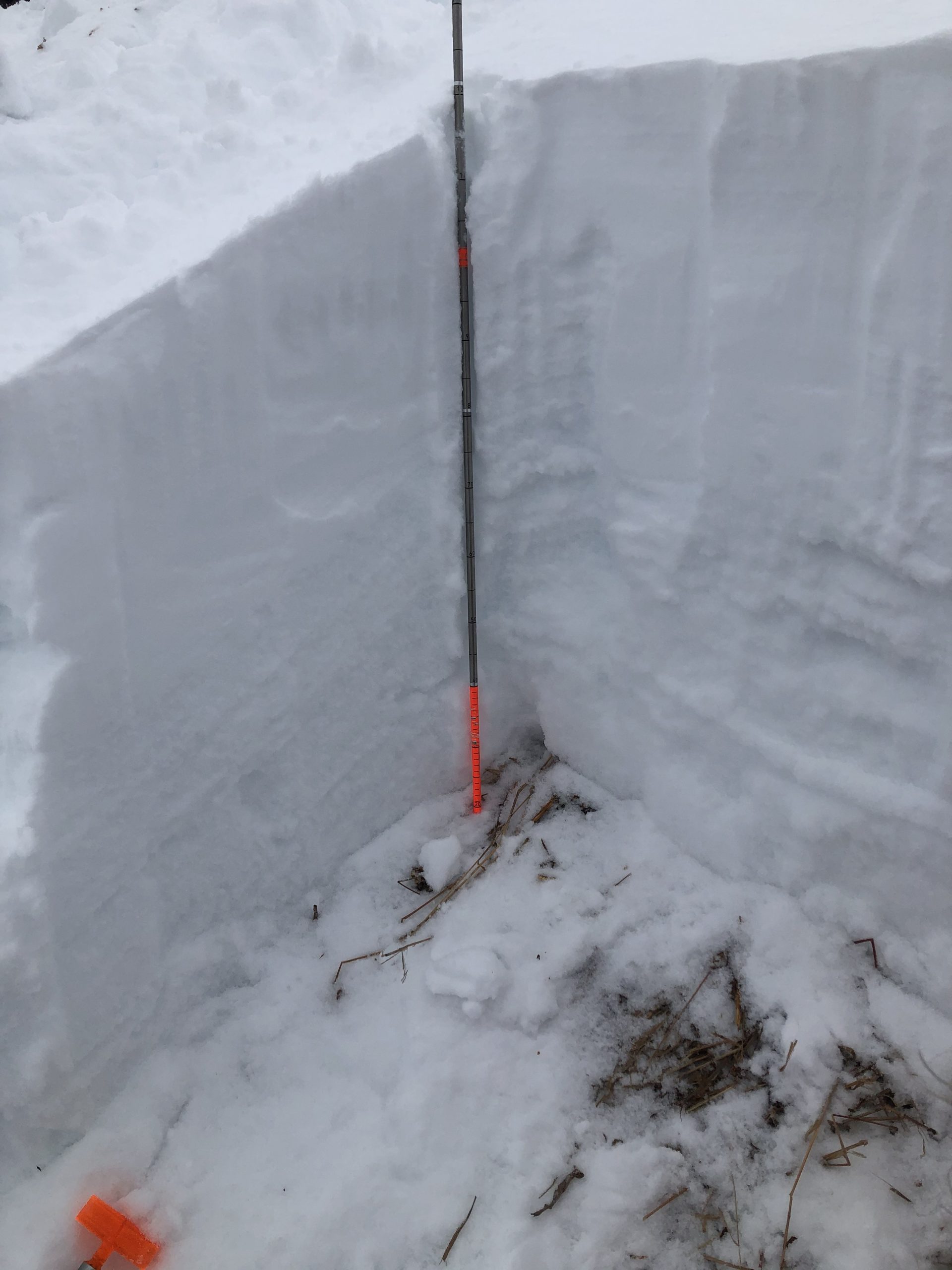
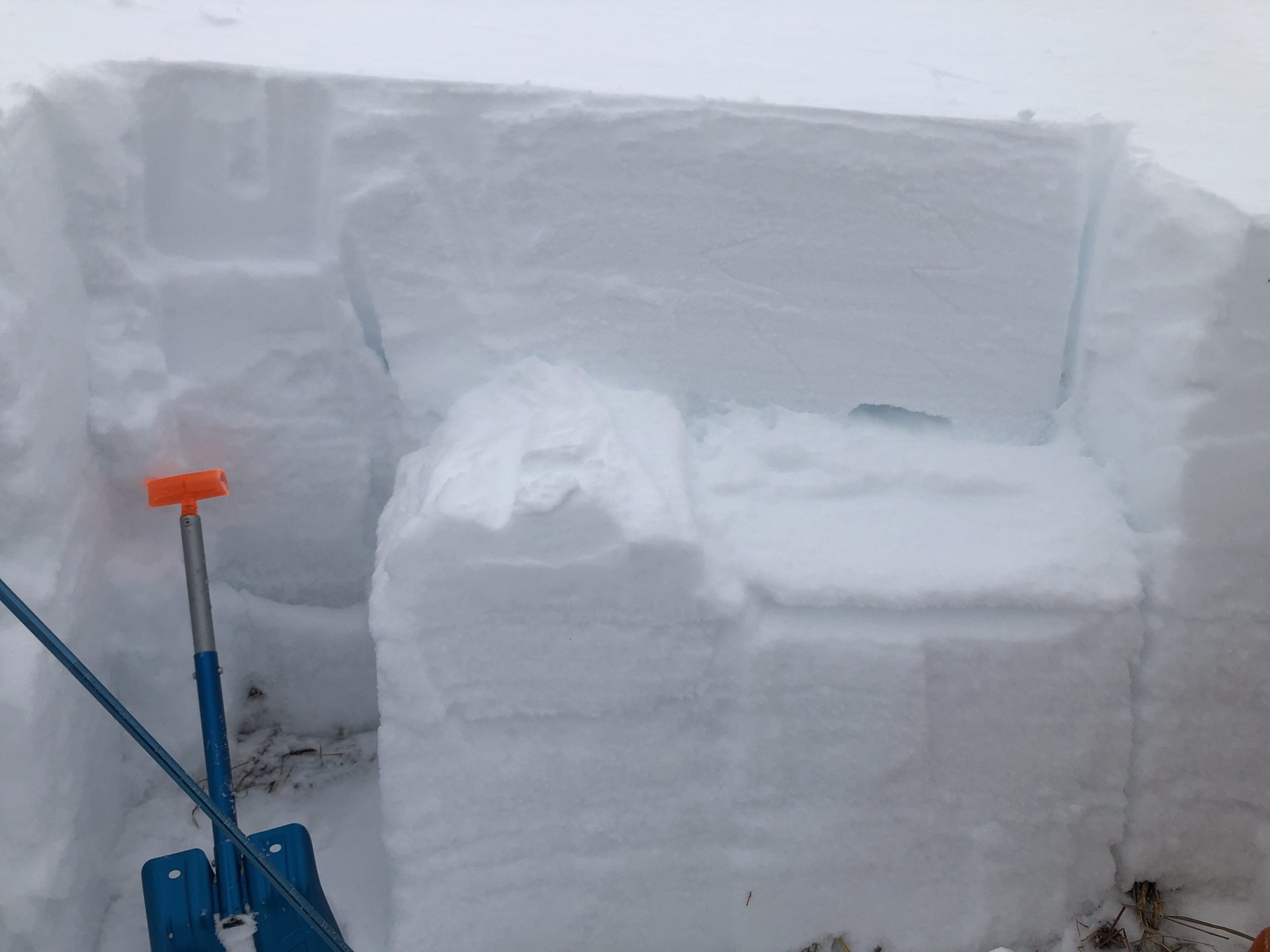
Snowpack
Fresno Ridge, 2000 ft on east aspect @ 13:00 on 27 deg slope in similar location to Avi 2 course observation from 2/15. Height of snow 100 cm.
CT13Q1 40 up from ground above ice crust (dec 9?) in F hard facts. ECTP27 75 cm up from ground above crust (nye?) in F hard facets. PST31/100 End on same layer.
IMG-4195

IMG-4196
IMG-4197

IMG-4198