| Trigger | Unknown | Remote Trigger | Unknown |
| Avalanche Type | Unknown | Aspect | Unknown |
| Elevation | unknown | Slope Angle | unknown |
| Crown Depth | unknown | Width | unknown |
| Vertical Run | unknown |
Avalanche: Summit
Location: Fresno
APU Snow Science toured in Summit, Manitoba and Fresno, to see how the new snow was behaving in this zone with the warming end of March temperatures.
Avalanche Details
We saw many wet loose avalanches on sunny aspects while driving through Turnagain Pass. Most of them were small size and had not entrained much snow with them.
Weather
Blue sky turned into scattered skies during our tour.
Air temps stayed below freezing the whole time, we measured -2.6C @1300.
Calm to very light winds.
No new precipitation
Snow surface
~10 cm of dry decomposing new snow on all elevations on top of the most recent sun crust. We did not see any NSF or surface hoar formation.
We did not travel through any wind impacted zones.
Snow surface stayed surprisingly dry, only on upper elevation steeper southerly slopes snow was getting moist on surface. No need for skin wax on Fresno, but on Manitoba side skis were glopping up.
Ski quality high.
Snowpack
We dug on Fresno at 2100' on SE aspect. HS 160-205cm.
Layer of concern facets/BSH on top of crust 30-40cm from surface
Moderate strength, moderate propagation propensity, poor structure. Stability fair to good.
(CT11SC, ECTP10, PST70/100End)
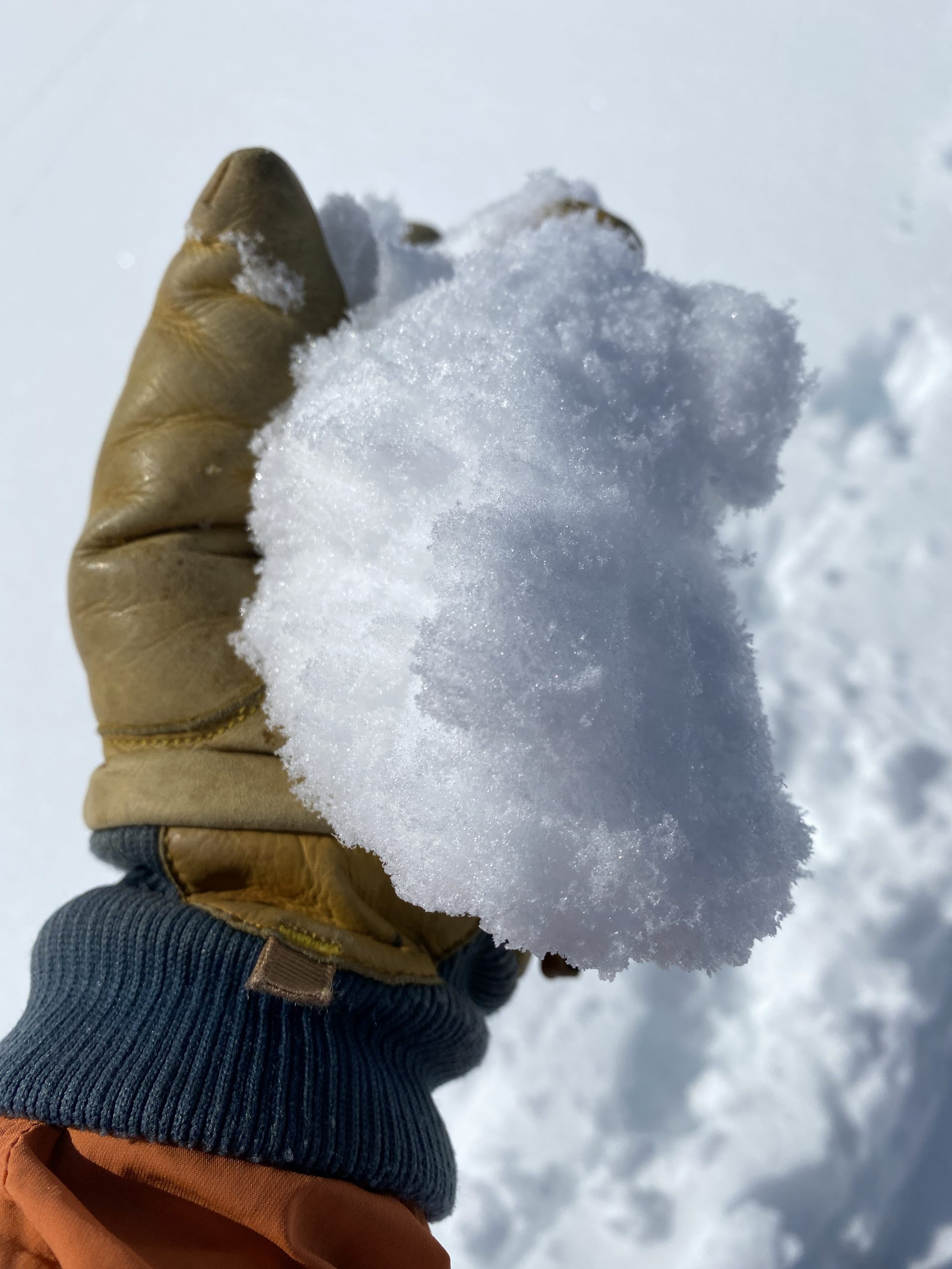
Surface snow was getting moist enough for making a snowball mid afternoon at the steeper(35+) sunny aspect, but stayed surprisingly dry elsewhere.
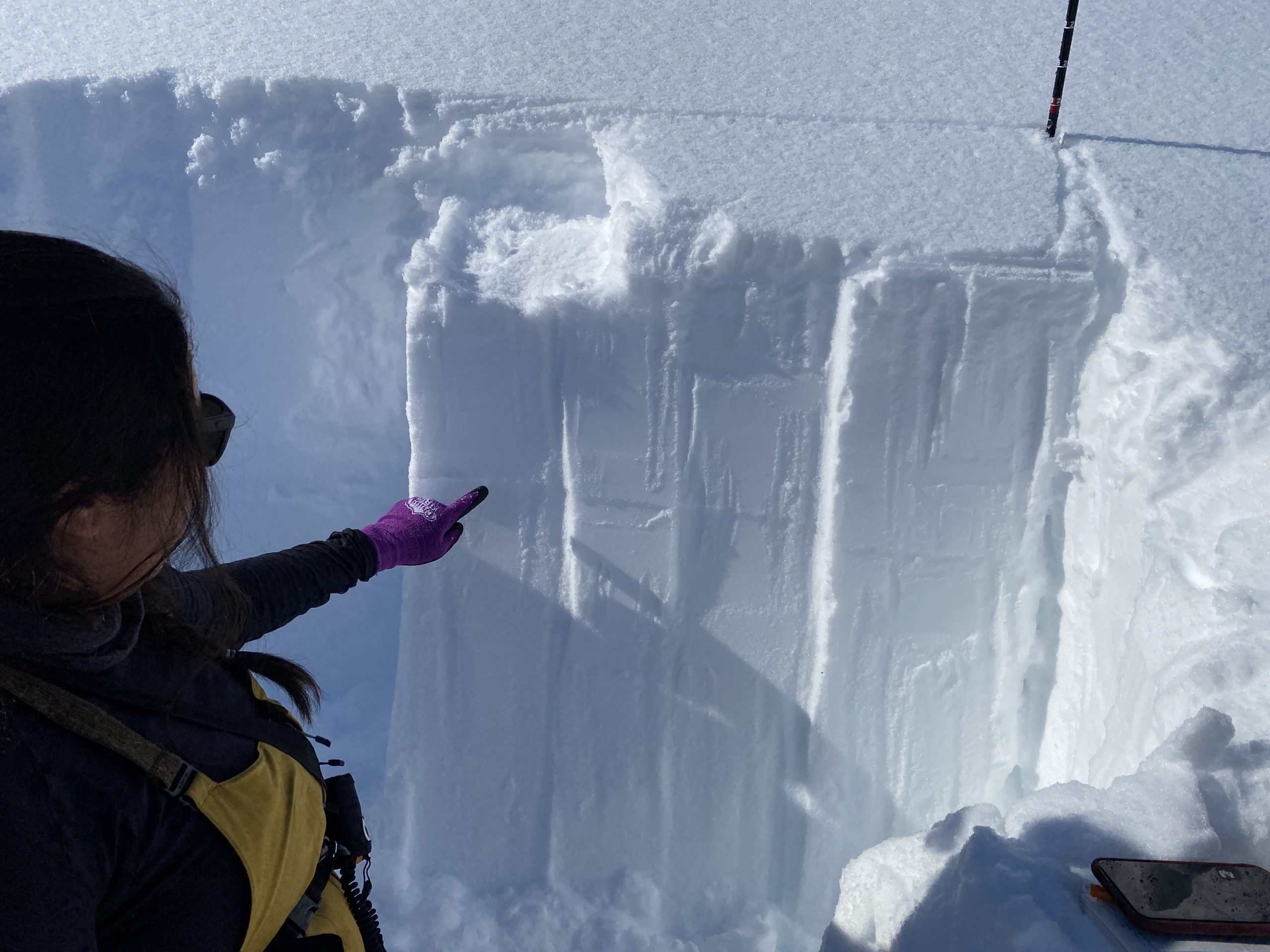
Our layer of concern was FC/BSH on a crust about 45cm from the top. It propagated across the column in one of our extended column tests (ECTP11).