| Trigger | Natural | Remote Trigger | No |
| Avalanche Type | Glide | Aspect | Southwest |
| Elevation | 2500ft | Slope Angle | 45deg |
| Crown Depth | unknown | Width | unknown |
| Vertical Run | 5ft |
Avalanche: Turnagain
Location: Eddie's
Approach and very bottom of Eddie’s was crust, most of the skiable slope was soft strastrugi and powder-like snow up to 10″ deep, gullies, trees and wind-sheltered depressions were good. Pleasant to ski.
Avalanche Details
Observed glide on SW aspect of Eddie's while climbing. Was able to see due to no cornice on the W aspect, but extent difficult to judge.
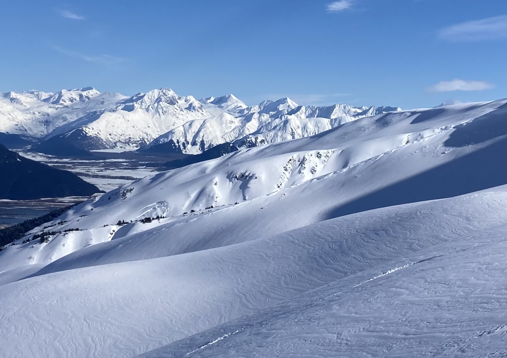
Another larger glide observed on what appeared to be Wolverine, W aspect. Pretty sure this was Wolverine and not Shark Fin.
Significant wet-loose activity on steeper slopes of Shark Fin and Tin Can from warm temps, likely day before. Many D1s, maybe a few D2s.
Observer Comments
No signs of instability while climbing/descending.
Weather
Mostly sunny, but some aspects sheltered from sun until mid-day. Temp around 30 degrees at time of observation 1130am, but was increasing rapidly. Above 40 degrees at bottom when finished.
Snow surface
Approach and very bottom slope was crust from melt-freeze. Light layer of graupel on top up to mid-elevation.
Mid elevation soft snow, didn't appear to be very wind-drifted like upper elevations, 5-8" of soft snow most of the time, except for wind blown ridges.
Higher elevations soft strastrugi and wind drifted snow.
Snowpack
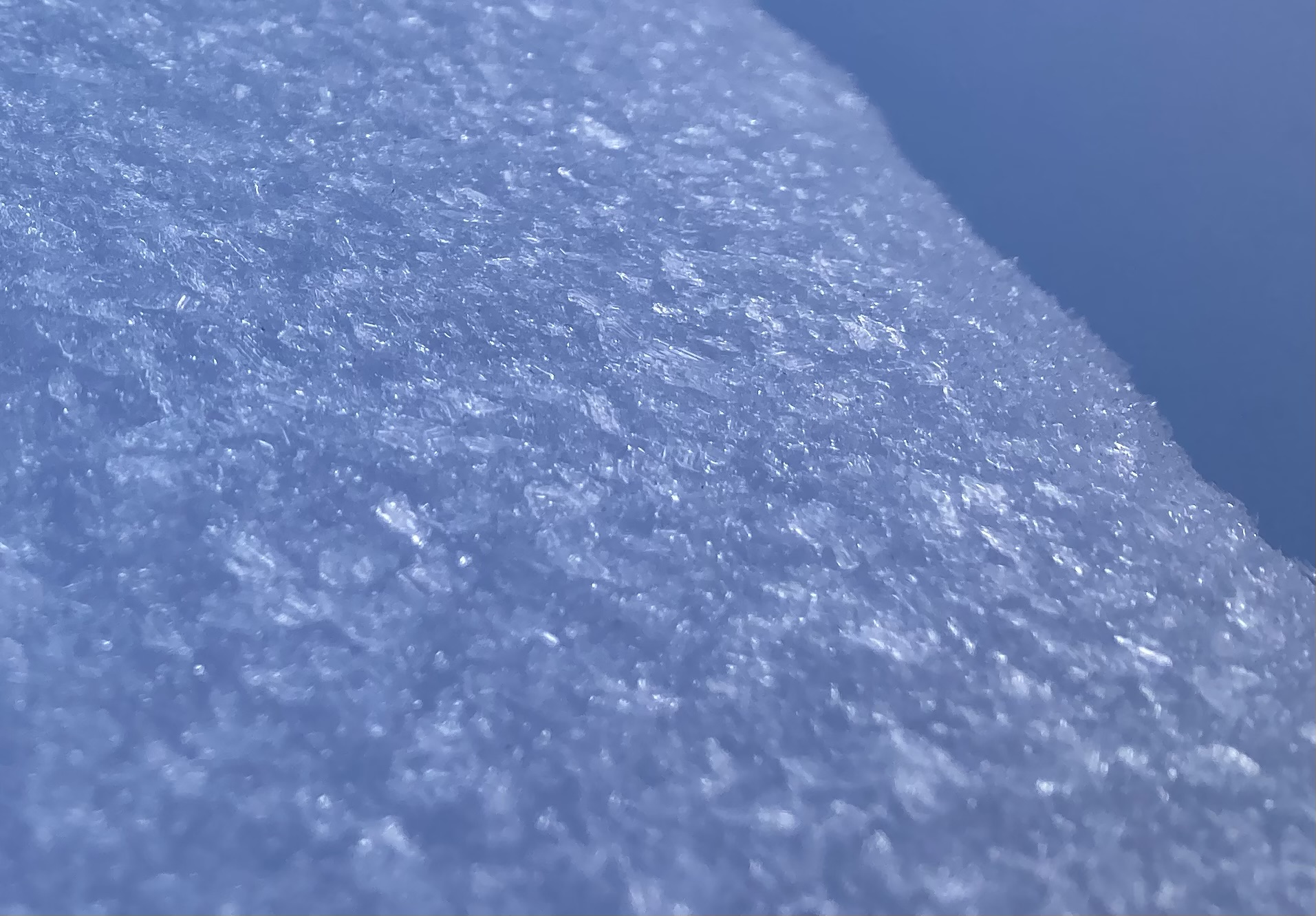
16 degree aspect at pit location. Snow depth ~274. Most snow pencil until about 30cm from surface, then 4F, very shallow 1-2cm harder 1F top layer. ECTN12 15cm from top. Appeared to be wind slab. ECTN23 29cm from top, possibly on BSH. ECTP30 at 64cm from top, quality poor to moderate, this was absolutely on BSH (picture). This appears to be the "~2' chunk" of snow that the current forecast is concerned about.
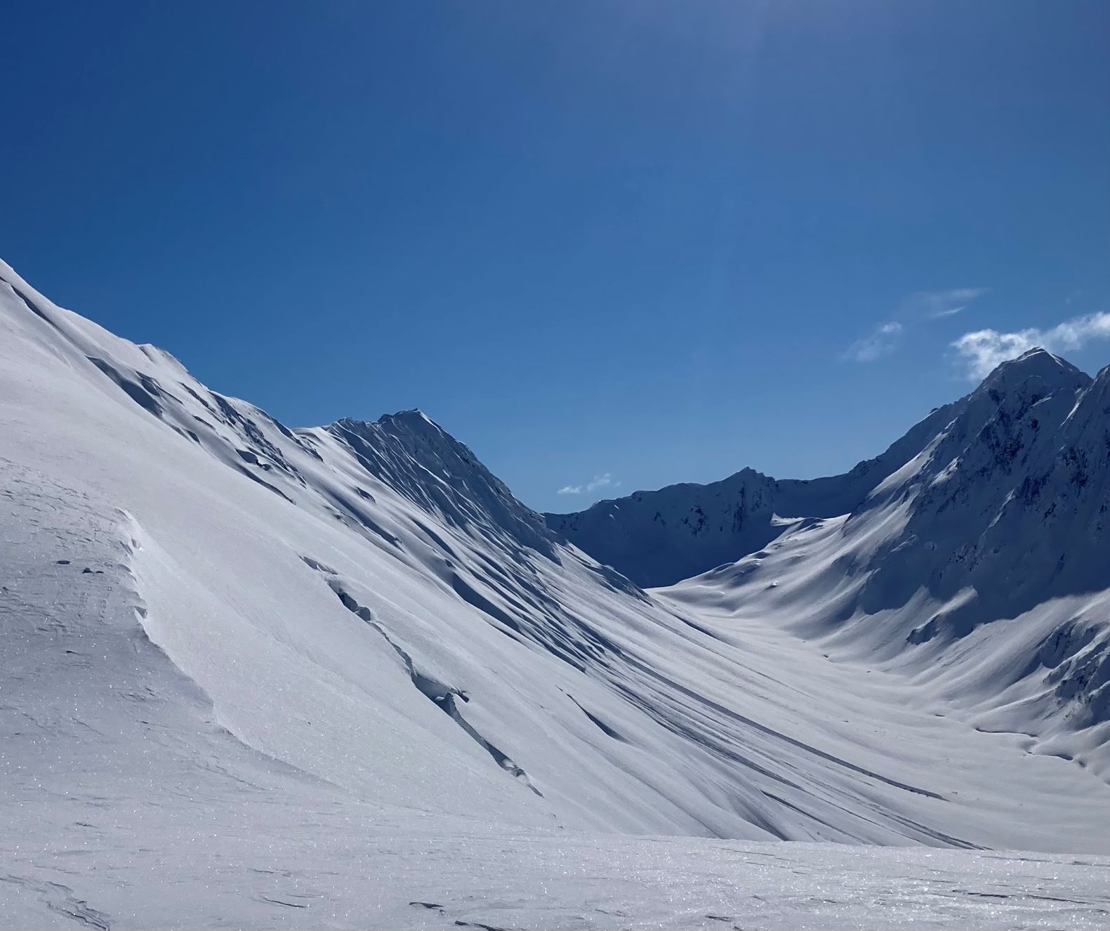
Glide on SW aspect of Eddie's
Glide on Shark's Fin

Wet-loose activity on Shark's Fin

ECTP30, 64cm from surface, on BSH
BSH at 64cm from surface

Pyramid avalanche 3/19 visible from highway